
-
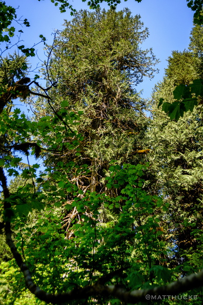 Ancient Cedar
Top of ancient western red cedar. -
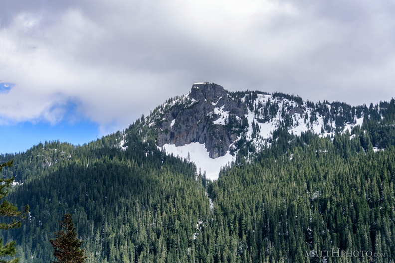 Seymour Peak
As seen from Highway 123, east side of Mount Rainier National Park. 6337 feet. -
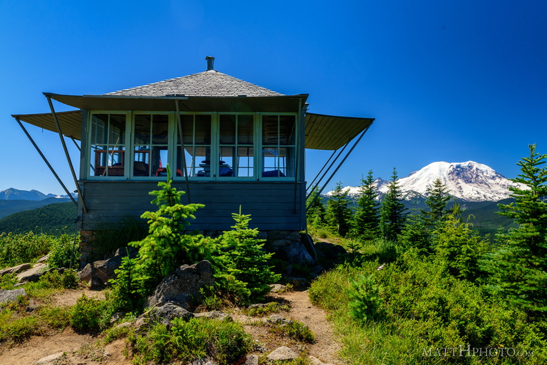 Sun Top Fire Lookout
Built 1934, elevation 1 mile (5280 feet). -
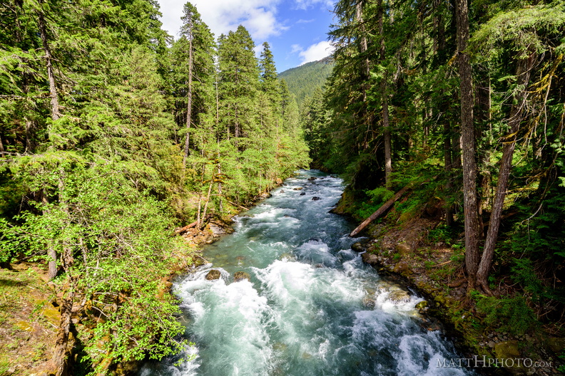 River Ohanapecosh
-
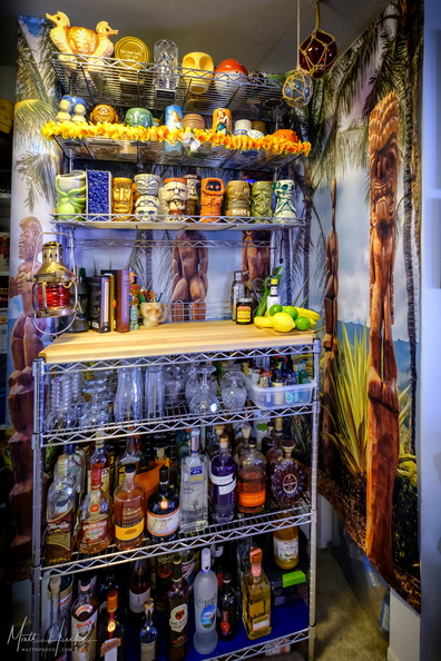 Look to the West
My home Tiki bar. -
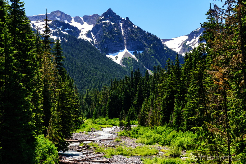 Fryingpan Creek to Banshee Peak
Fryingpan Creek, from the Sunrise Road bridge, with Banshee Peak and Sarvant Glacier in the distance. -
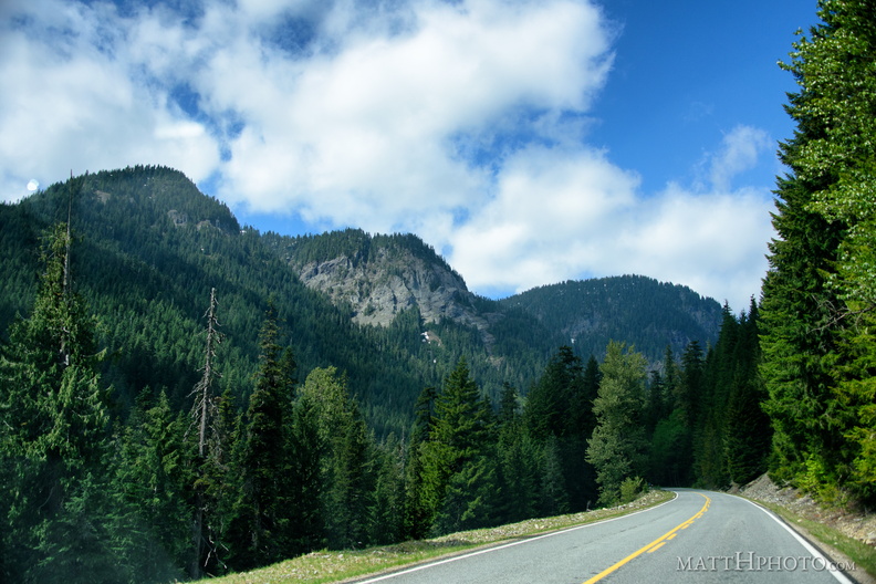 Mountain Road
-
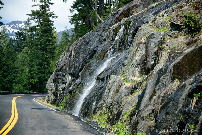 Roadside flow
-
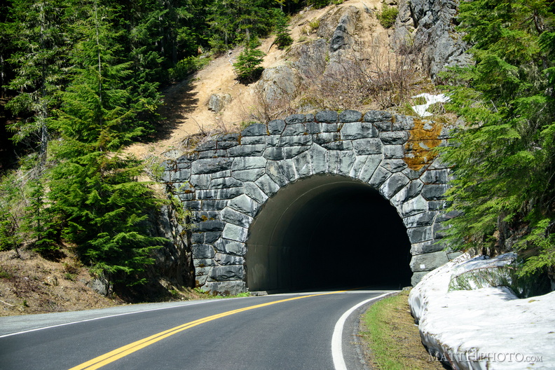 Through the mountain is better than over
-
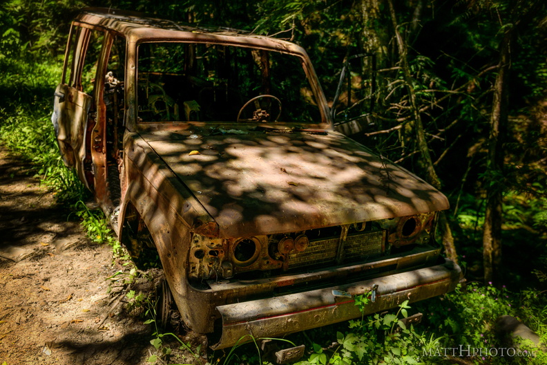 Going Nowhere Solo
-
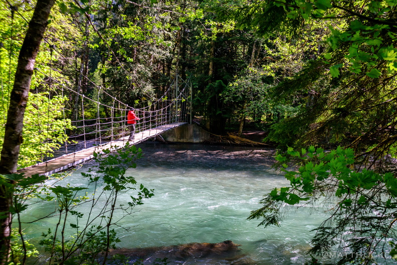 He who would cross the bridge of death
-
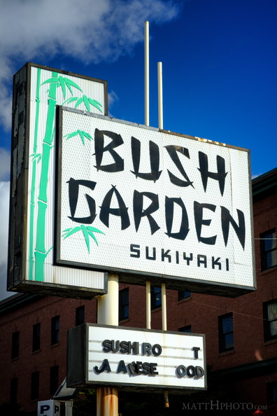 Bush Garden: Sukiyaki
-
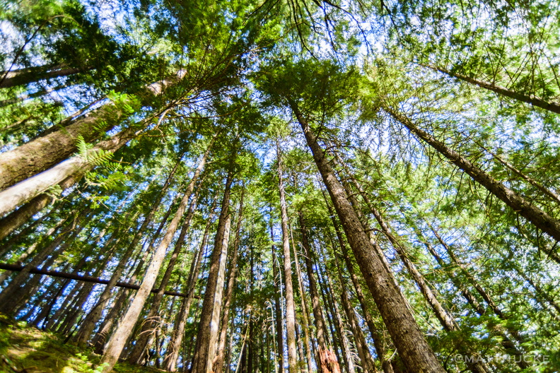 Every twig
-
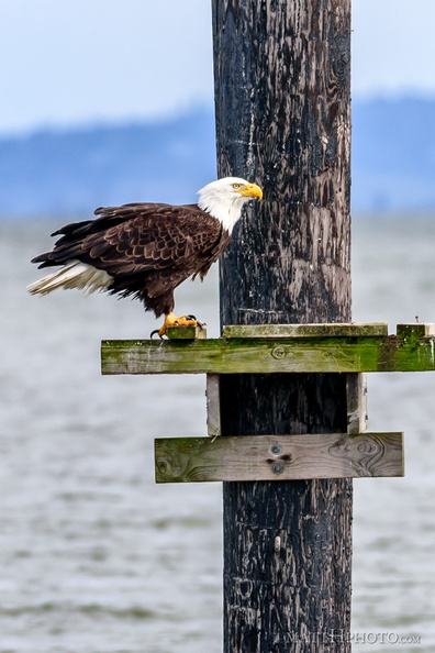 Fish eater
-
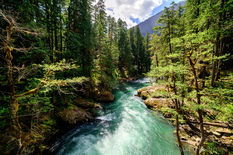 River Ohanapecosh
-
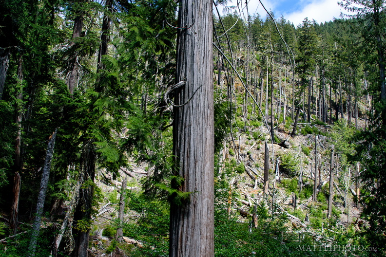 Forest wasteland
-
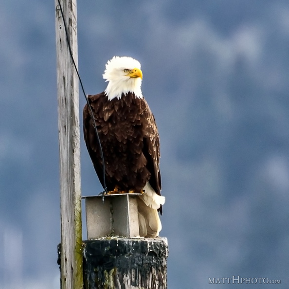 Watching and listening
-
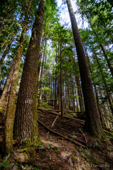 Reach for the skies
-
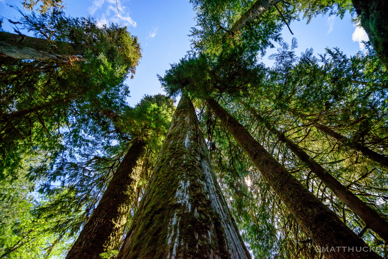 such verticals
-
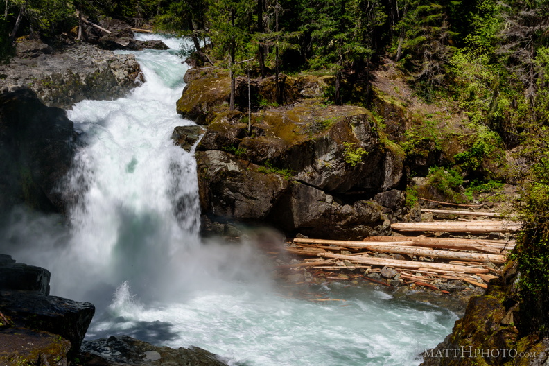 Silver Falls Plunge
Silver Falls, on the Ohanapecosh River, Mount Rainier National Park -
 Merchants
Merchants Cafe, Pioneer Square, Seattle's oldest restaurant. Established 1890. -
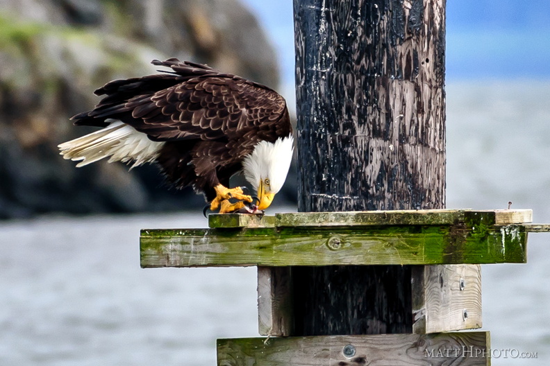 Fish eater
-
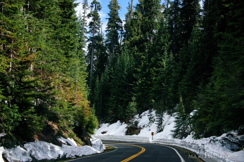 Mountain Road
-
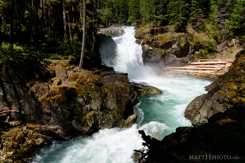 Silver Falls
Silver Falls, on the Ohanapecosh River, Mount Rainier National Park -
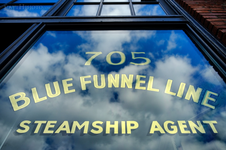 Blue Funnel Line
Clouds reflected in historic shop window, Seattle Chinatown, preserved as part of the Wing Luke Museum. -
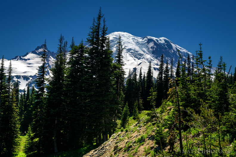 Sunrise Road
-
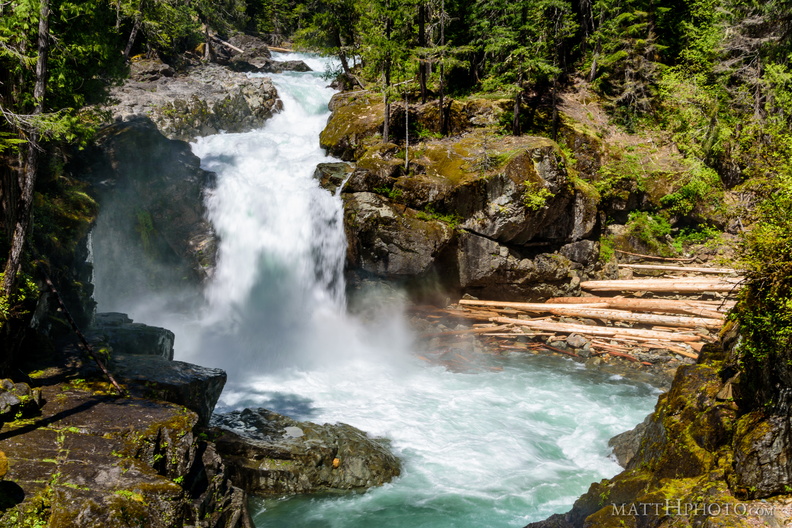 That's a big waterfall
Silver Falls, on the Ohanapecosh River, Mount Rainier National Park -
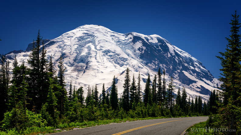 Sunrise Road
-
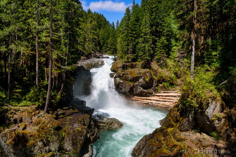 Silver Falls
Silver Falls, on the Ohanapecosh River, Mount Rainier National Park -
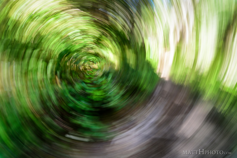 Forest Swirly
Accidentally pressed the shutter while the camera was rotating at my side, on a trail in the woods. -
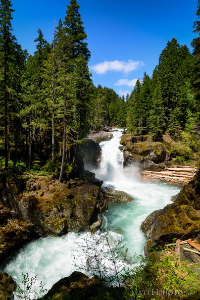 Silver Falls
Silver Falls, on the Ohanapecosh River, Mount Rainier National Park -
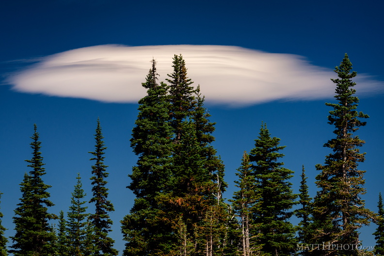 Lenticular
Lenticular cloud, looking east from Sunrise Point (6130ft), Mount Rainier National Park. -
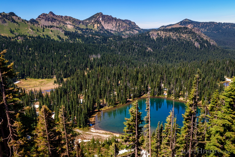 Sunrise Lake and Palisades Peak
Marcus Peak and Palisades Peak, above Sunrise Lake. Looking north from Sunrise Point (6130ft), Mount Rainier National Park. -
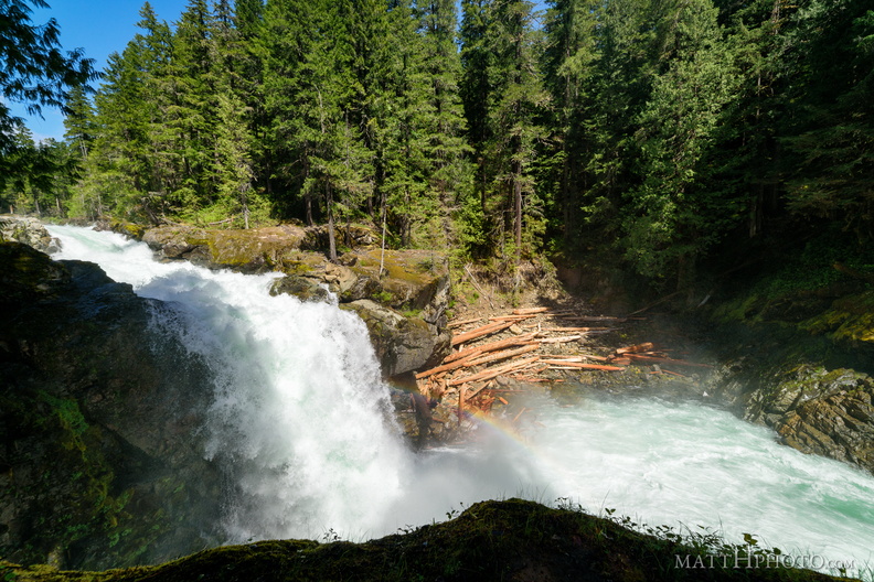 Silver Falls
Silver Falls, on the Ohanapecosh River, Mount Rainier National Park -
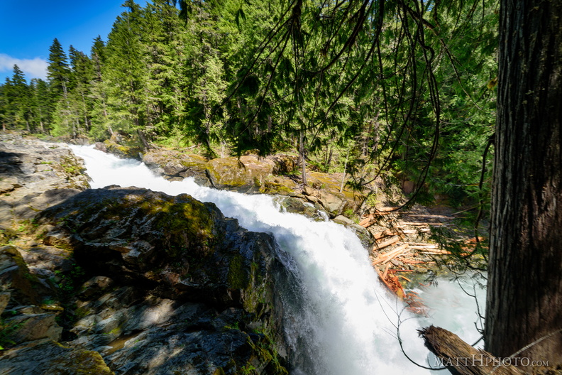 Silver Falls
Silver Falls, on the Ohanapecosh River, Mount Rainier National Park -
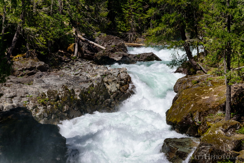 Above Silver Falls
Silver Falls, on the Ohanapecosh River, Mount Rainier National Park -
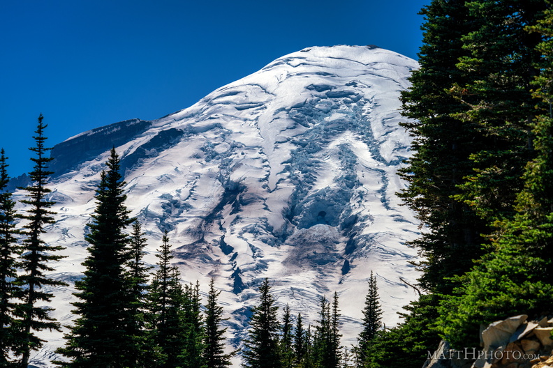 Rainier from Sunrise Point
Rainier summit, looking west from Sunrise Point (6130ft), Mount Rainier National Park. -
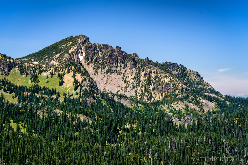 Palisades Peak
Palisades Peak (7000ft), named for it columnar basalt formations resembling a defensive wall. Looking northwest from Sunrise Point (6130ft), Mount Rainier National Park. At right, Mount Baker can be seen on the horizon, about 125 miles north. -
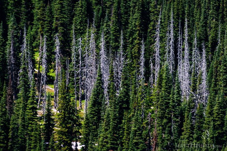 Snags
Snags
Standing dead trees, looking north from Sunrise Point (6130ft), Mount Rainier National Park. -
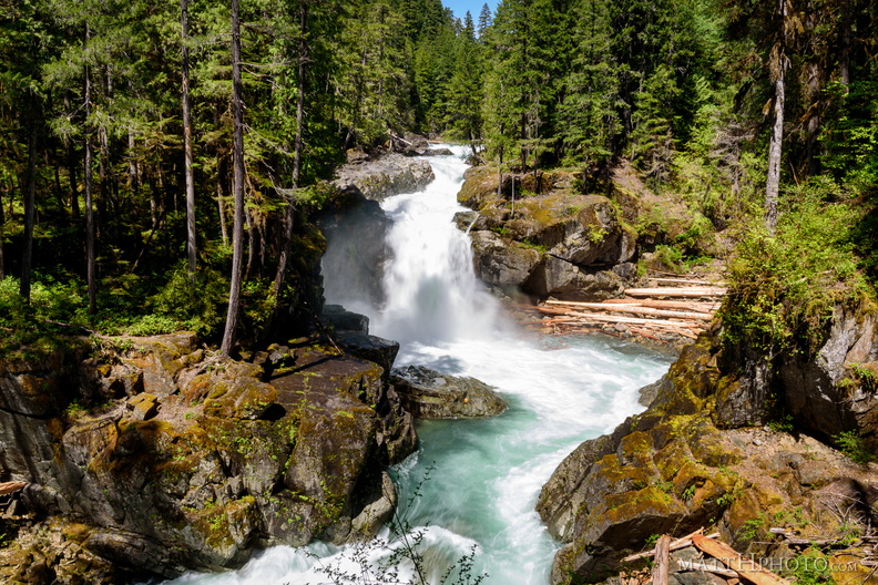 Silver Falls
Silver Falls, on the Ohanapecosh River, Mount Rainier National Park -
 Sunrise Lake
From Sunrise Point (6130ft), Mount Rainier National Park. -
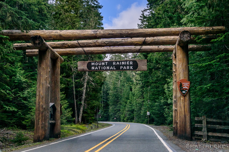 White River Entrance Arch
On the Mather Memorial Parkway, Mount Rainier National Park -
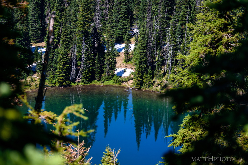 Sunrise Lake
Sunrise Lake (5730 ft), looking north from Sunrise Point (6130ft), Mount Rainier National Park. -
 Ten Ten
Republic of China (Taiwan) Day Parade in Seattle, seen from the upper level of the Wing Luke Museum -
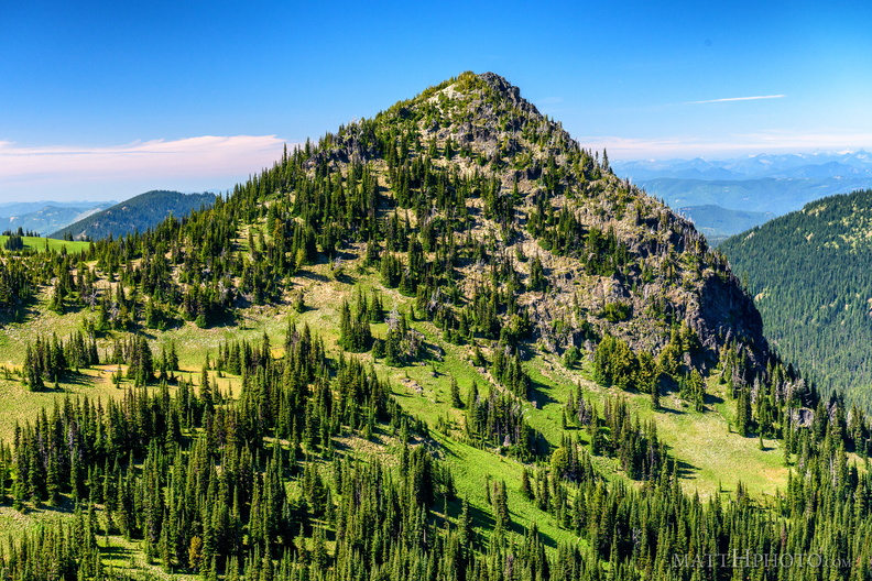 McNeeley Peak
McNeeley Peak (6786 feet) and Huckleberry Basin, seen from Sourdough Ridge Trail, west of Sunrise Visitor Center. -
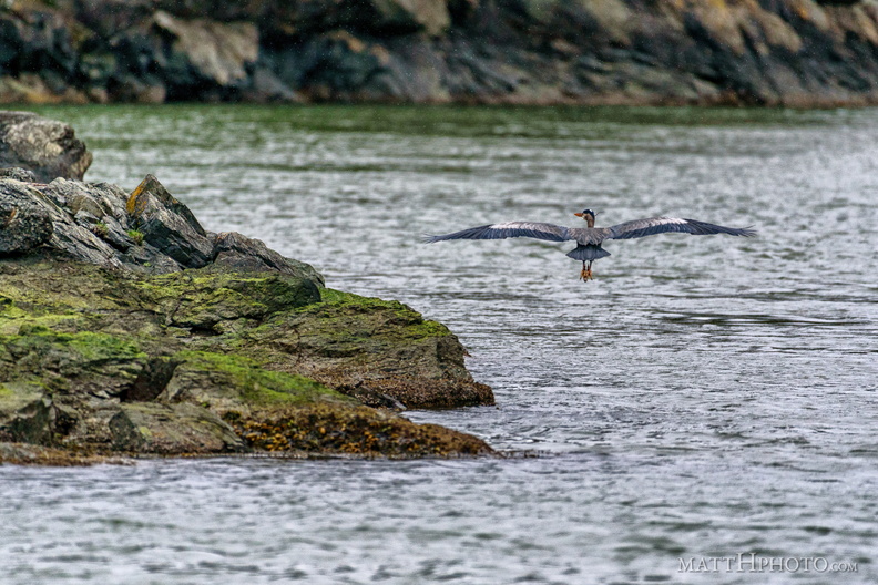 Water's edge
-
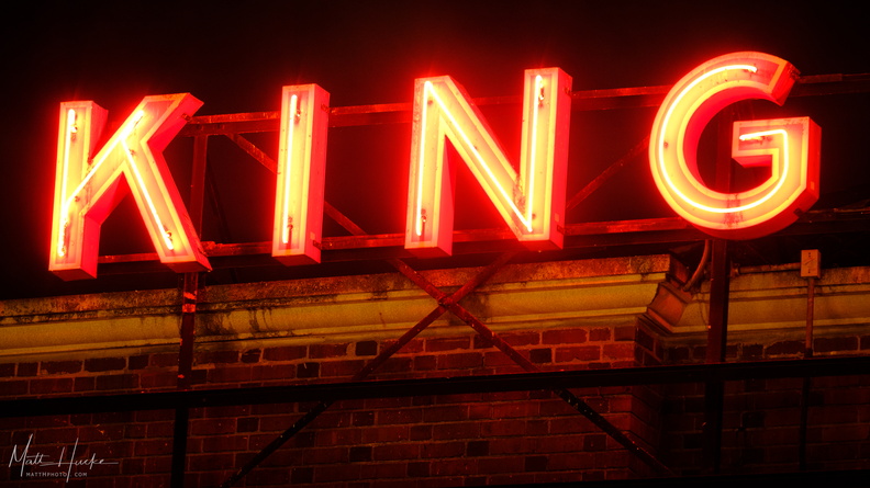 King Street Station
-
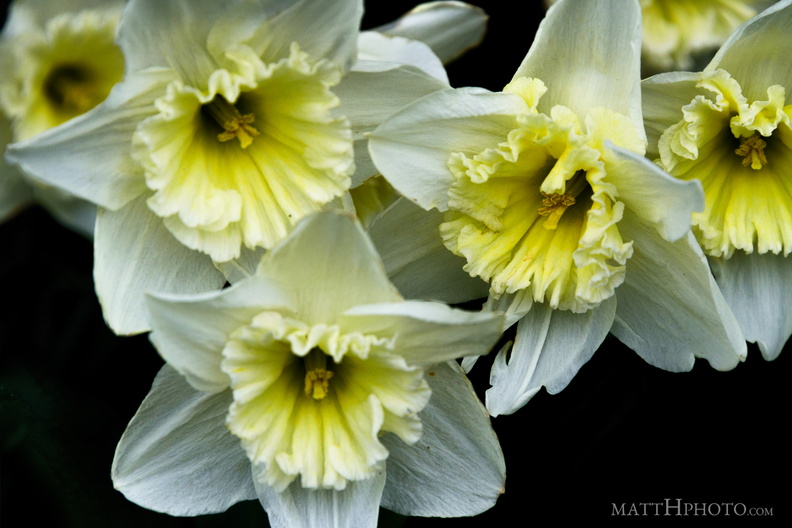 Valley of the Daffodil
-
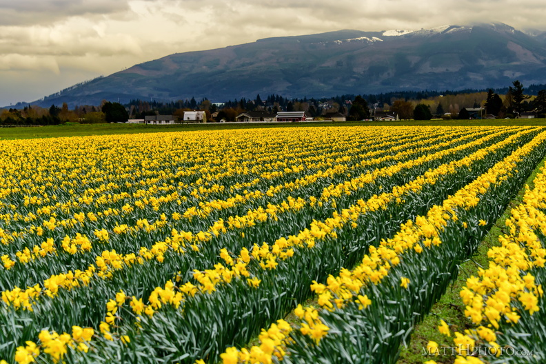 Valley of the Daffodil
-
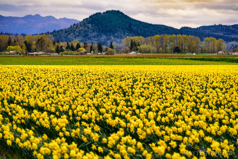 Valley of the Daffodil