
-
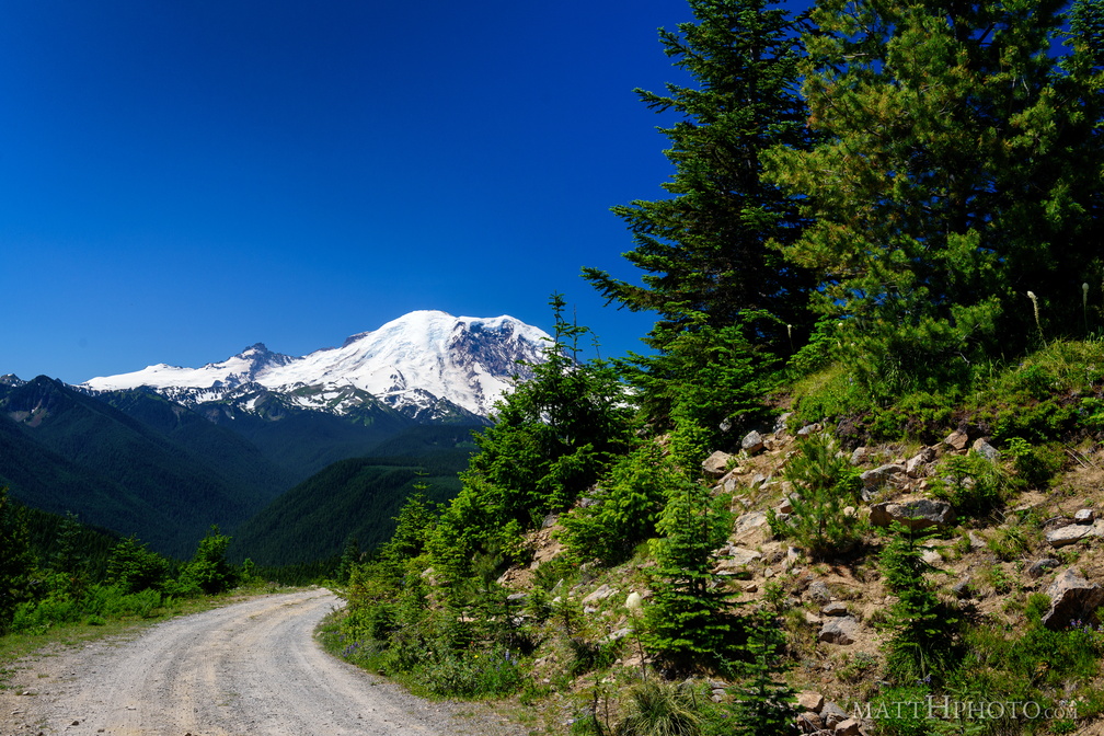 Sun Top Fire Lookout
-
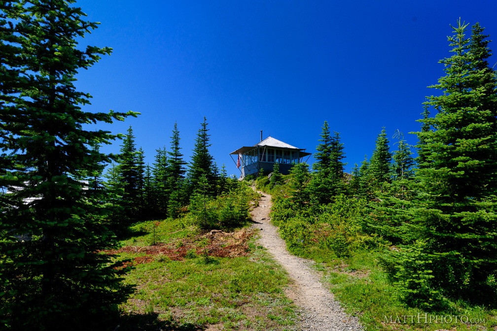 Sun Top Fire Lookout
-
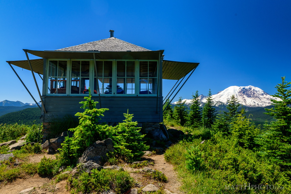 Sun Top Fire Lookout
Built 1934, elevation 1 mile (5280 feet). -
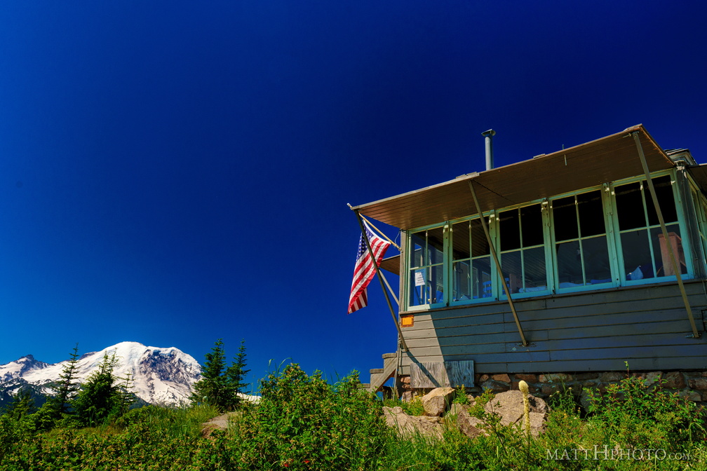 Sun Top Fire Lookout
-
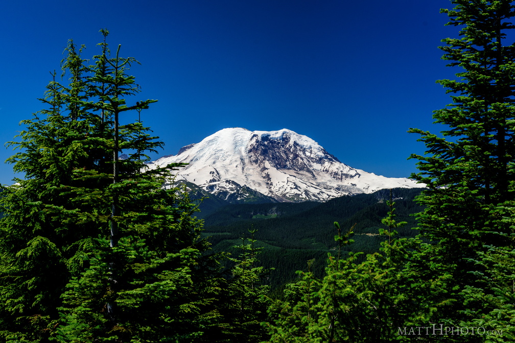 Sun Top Fire Lookout
-
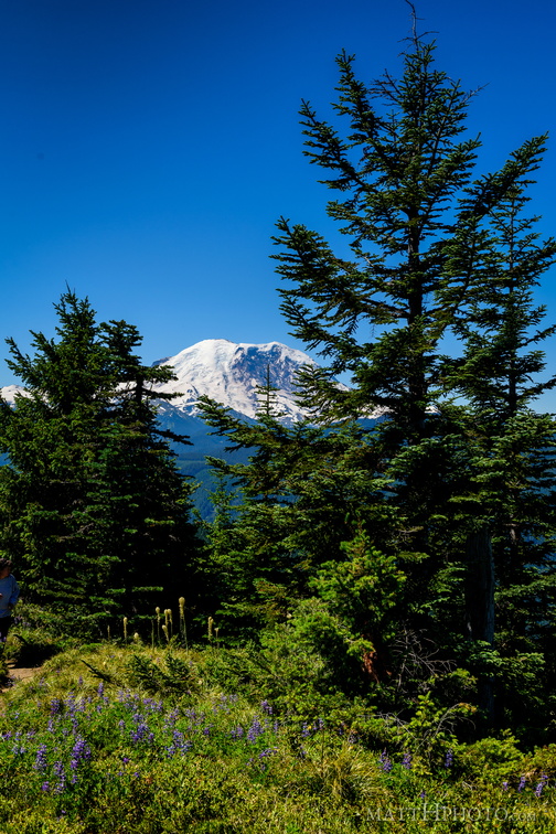 Sun Top Fire Lookout
-
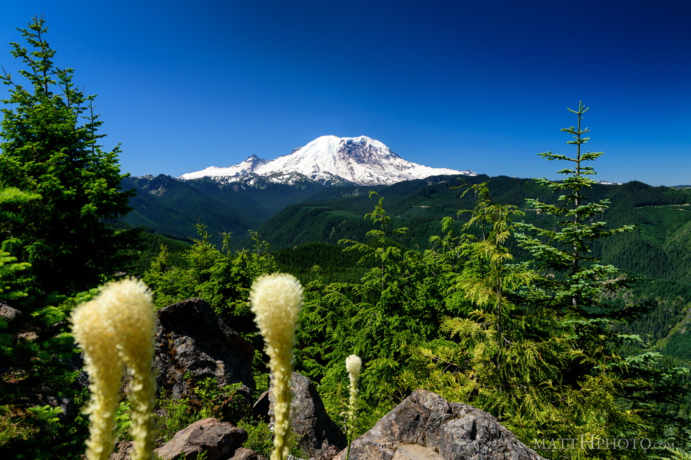 Sun Top Fire Lookout
-
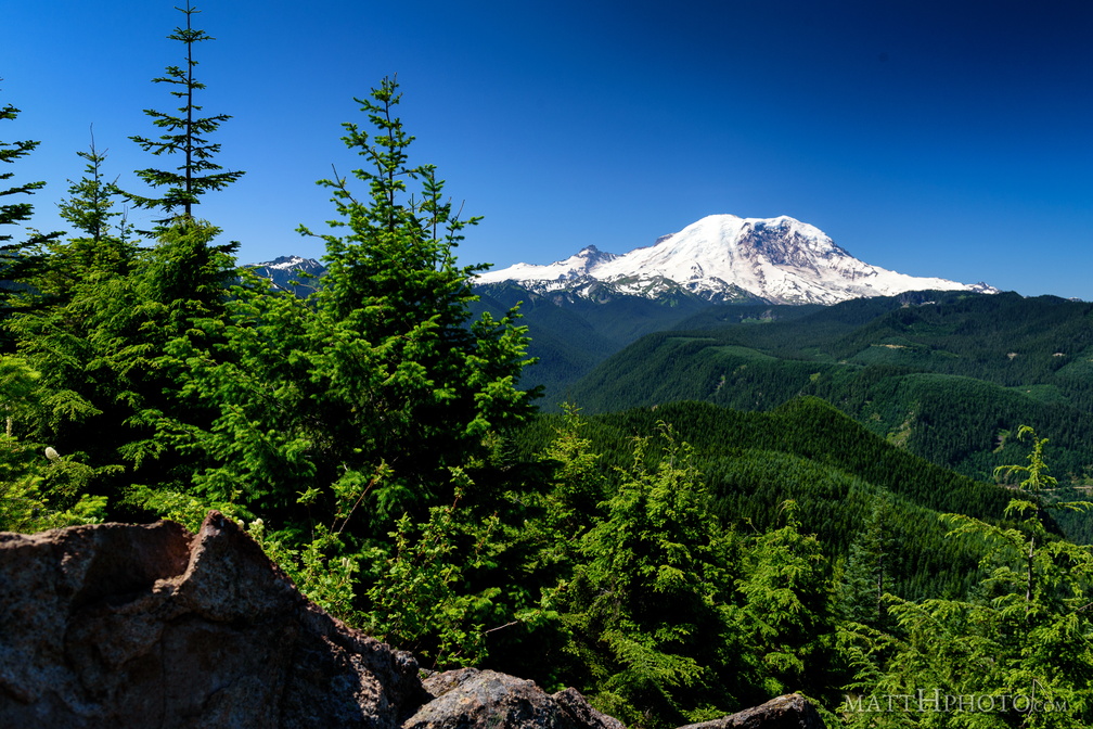 Sun Top Fire Lookout
-
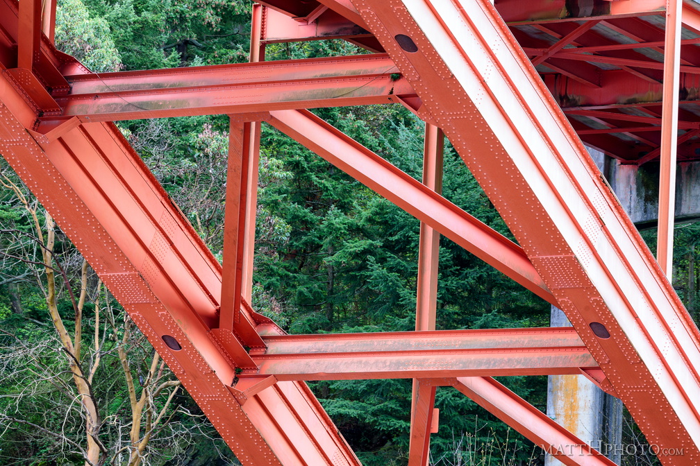 Under the Rainbow
Rainbow Bridge, La Conner WA -
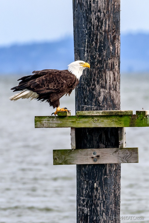 Fish eater
-
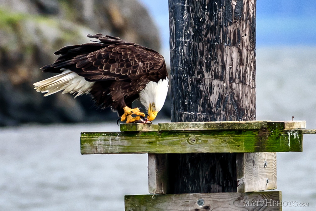 Fish eater
-
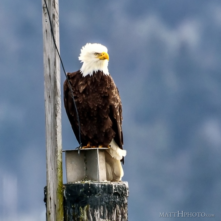 Watching and listening
-
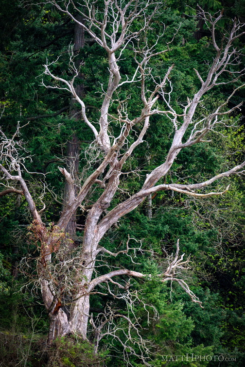 Among the living
-
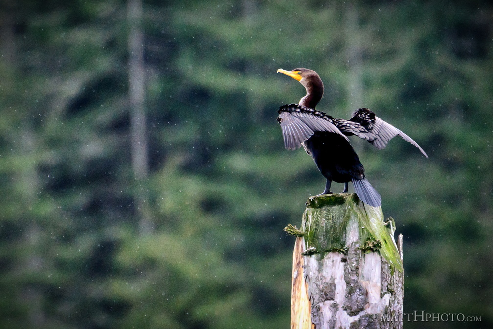 Double crested cormorant
-
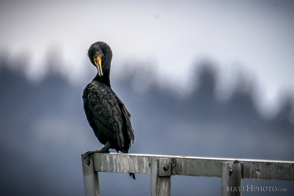 Double crested cormorant
-
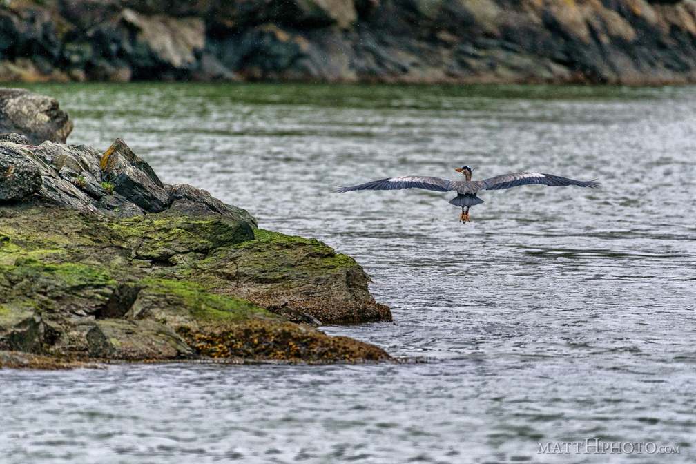 Water's edge
-
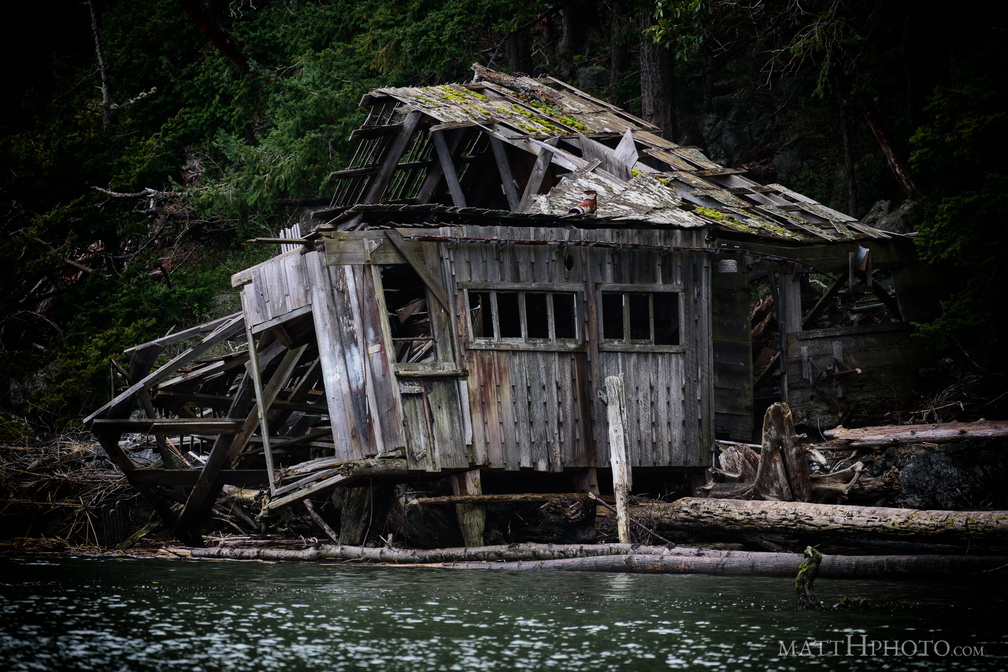 No one lives there
-
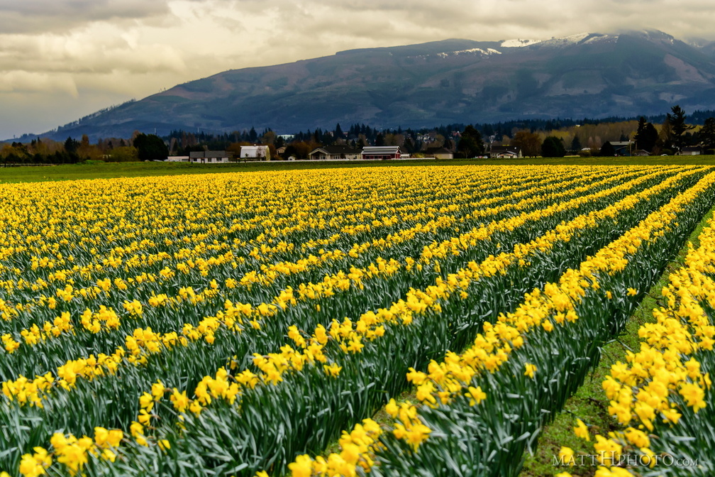 Valley of the Daffodil
-
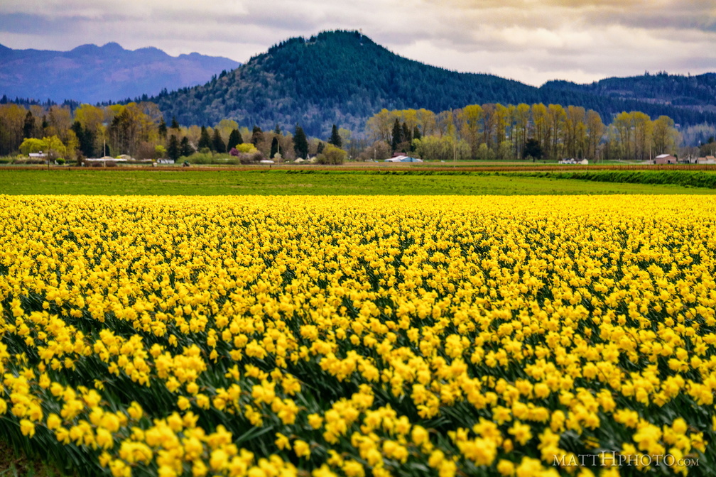 Valley of the Daffodil
-
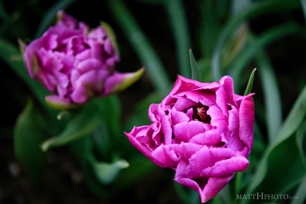 Roozengaarde
-
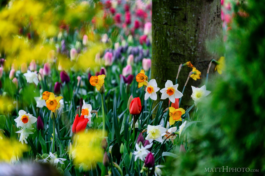 Look at the colours
-
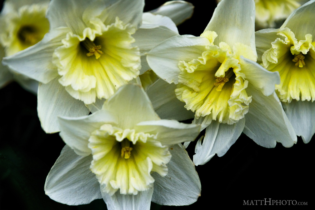 Valley of the Daffodil
-
 Painter of Tulips
-
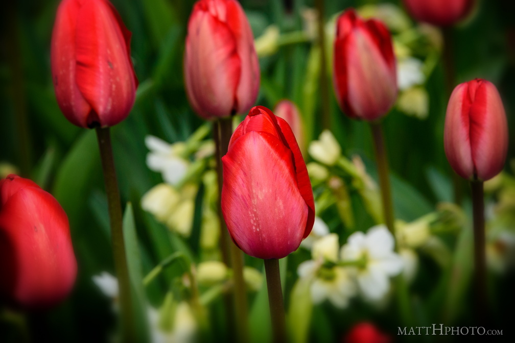 Tulips 2017
-
 Fish eye kitty
-
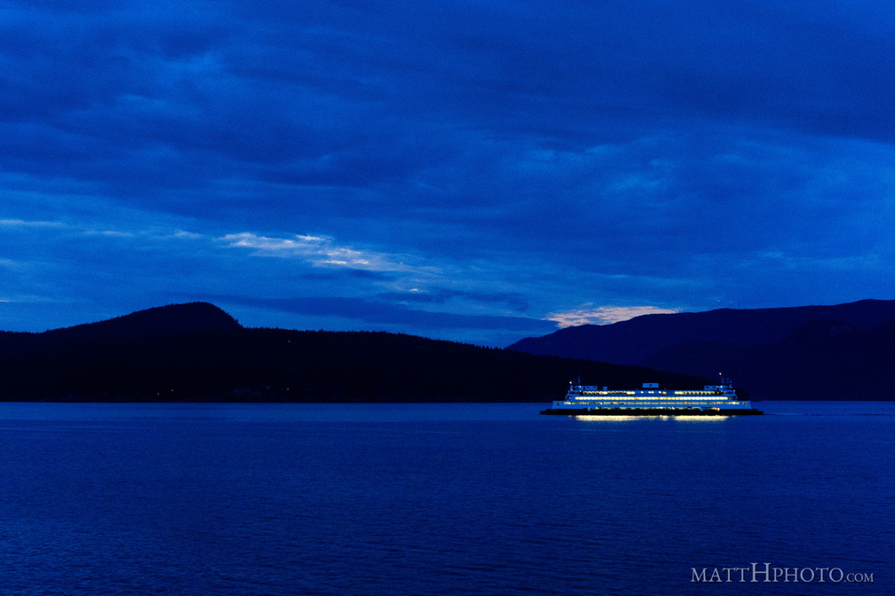 San Juans Night Boat
-
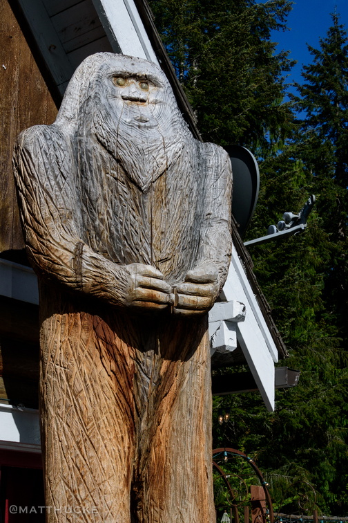 Tavern Sasquatch
Naches Tavern, Enumclaw Washingto -
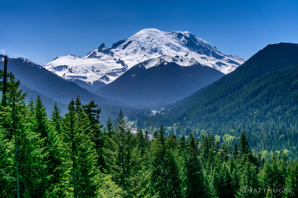 Mount Rainier
From the east -
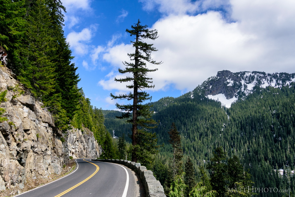 Seymour Peak
As seen from Highway 123, east side of Mount Rainier National Park. 6337 feet. -
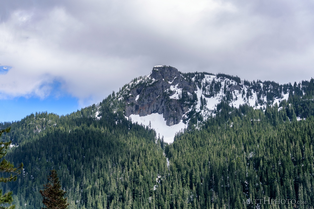 Seymour Peak
As seen from Highway 123, east side of Mount Rainier National Park. 6337 feet. -
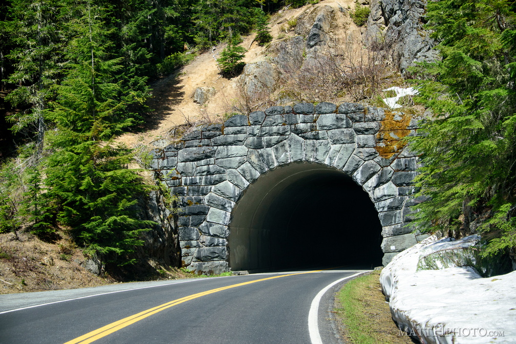 Through the mountain is better than over
-
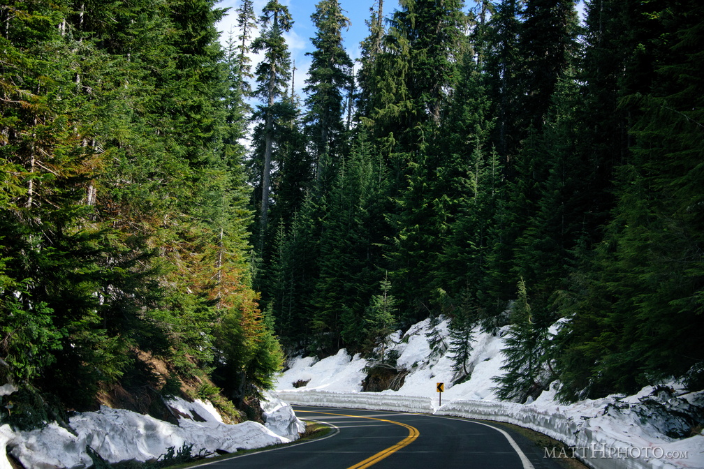 Mountain Road
-
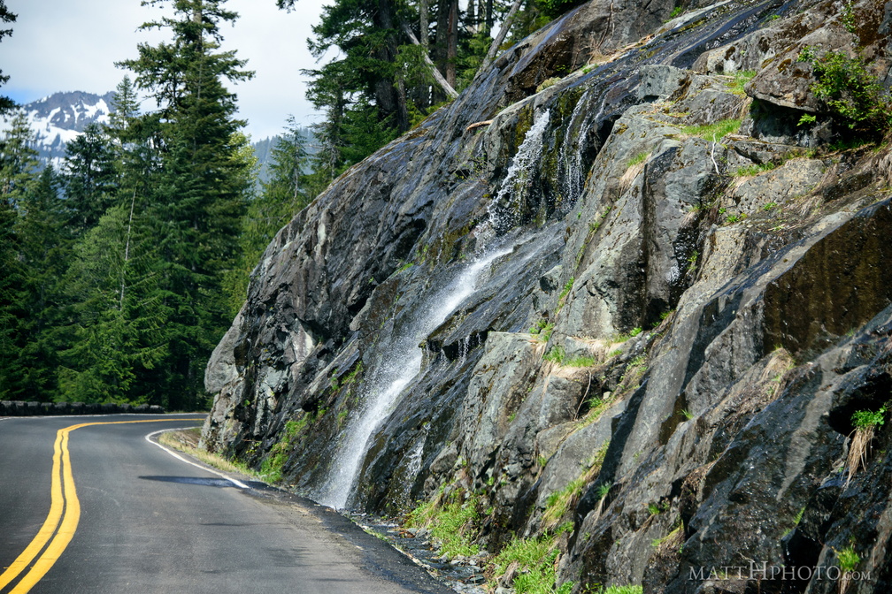 Roadside flow
-
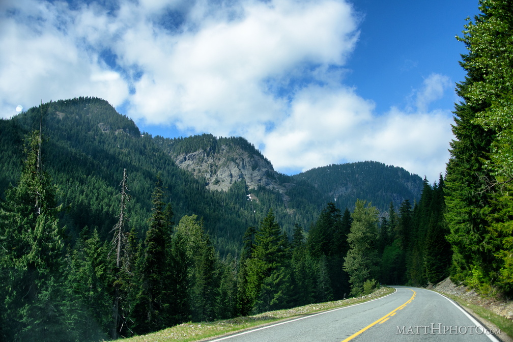 Mountain Road
-
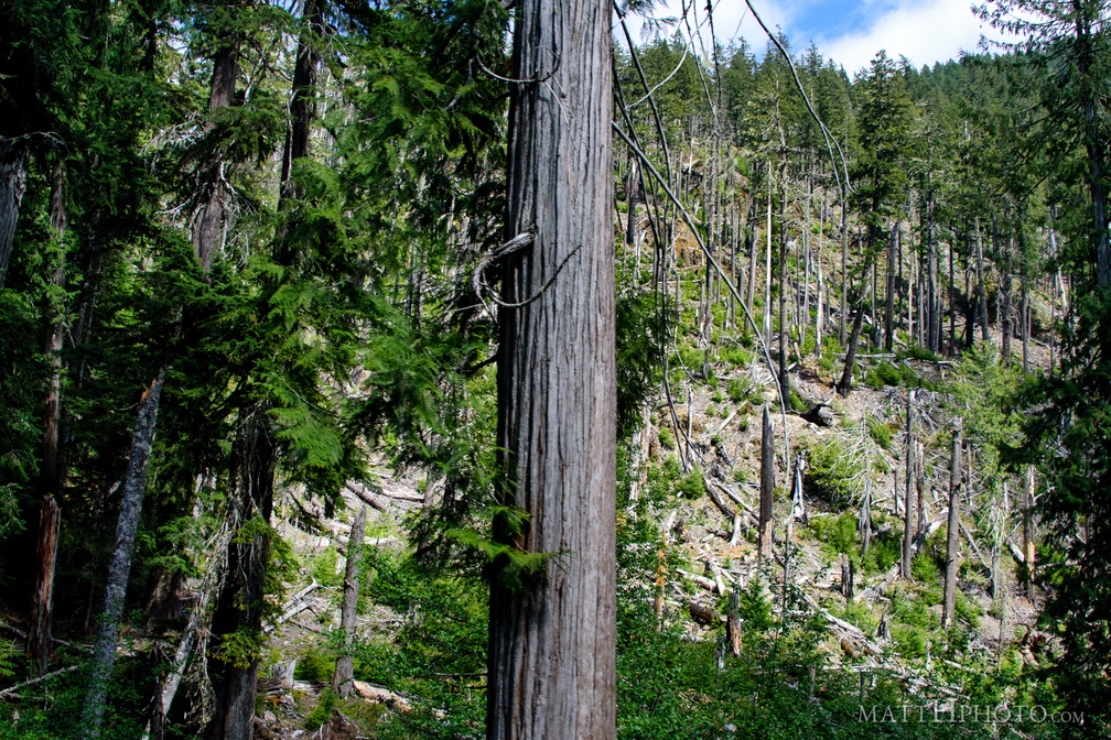 Forest wasteland
-
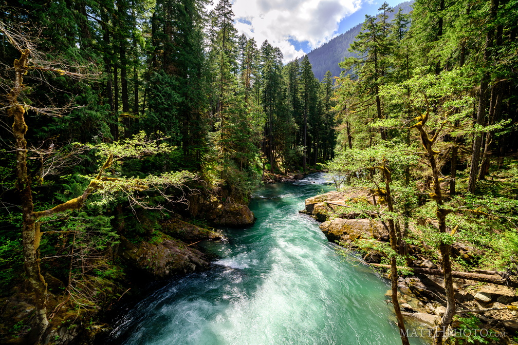 River Ohanapecosh
-
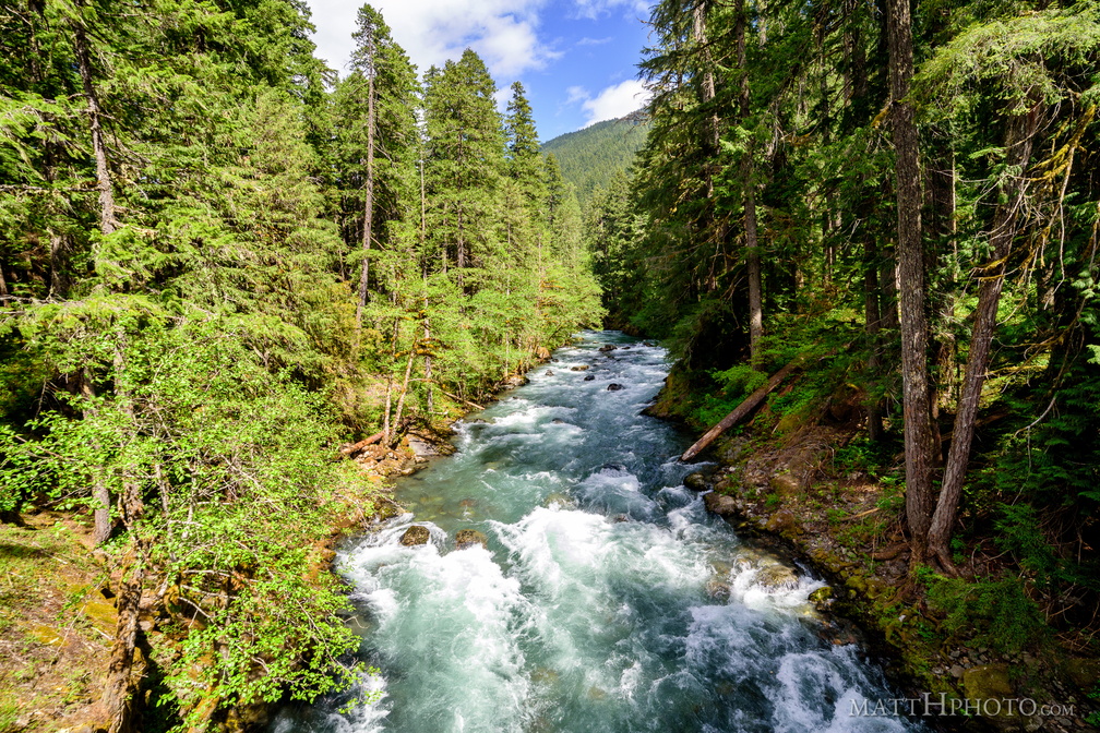 River Ohanapecosh
-
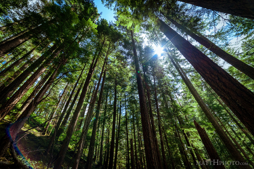 All Trees Go to Heaven
-
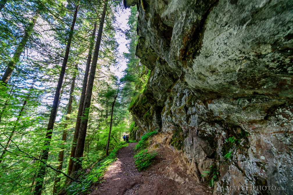 Between a rock and a vertical place
-
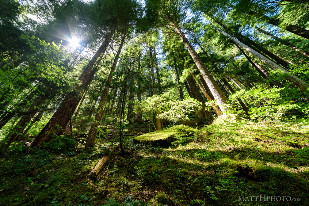 Atop the ridge
-
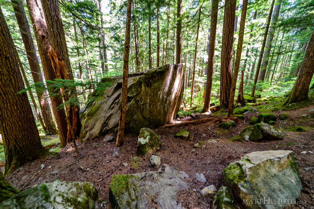 Volcanic ejecta
-
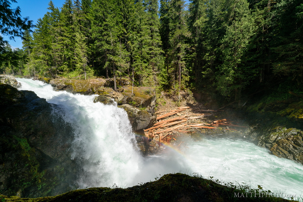 Silver Falls
Silver Falls, on the Ohanapecosh River, Mount Rainier National Park -
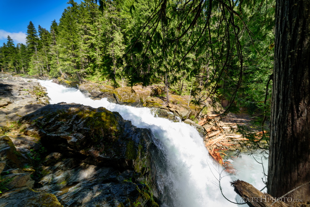 Silver Falls
Silver Falls, on the Ohanapecosh River, Mount Rainier National Park -
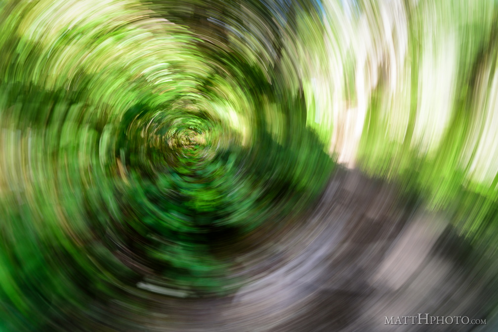 Forest Swirly
Accidentally pressed the shutter while the camera was rotating at my side, on a trail in the woods. -
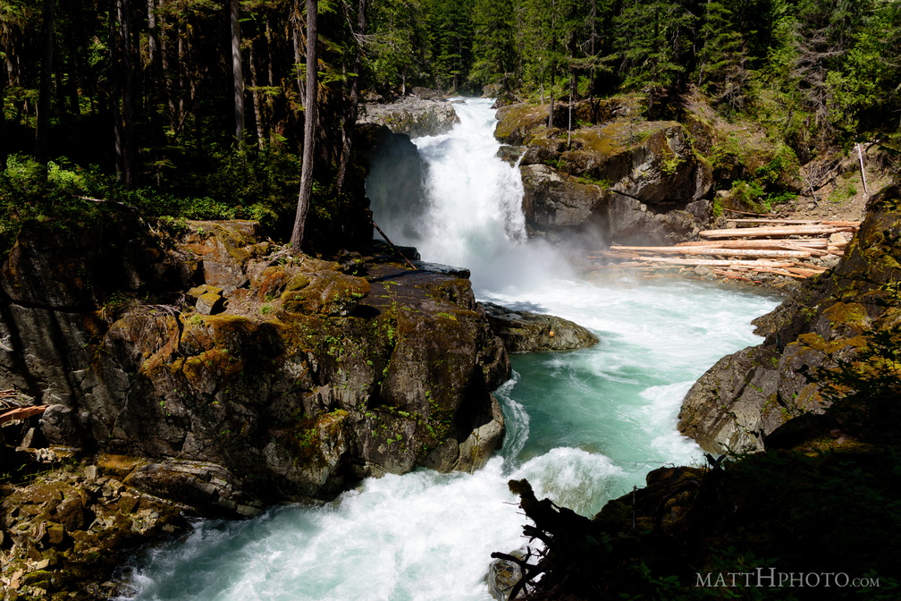 Silver Falls
Silver Falls, on the Ohanapecosh River, Mount Rainier National Park -
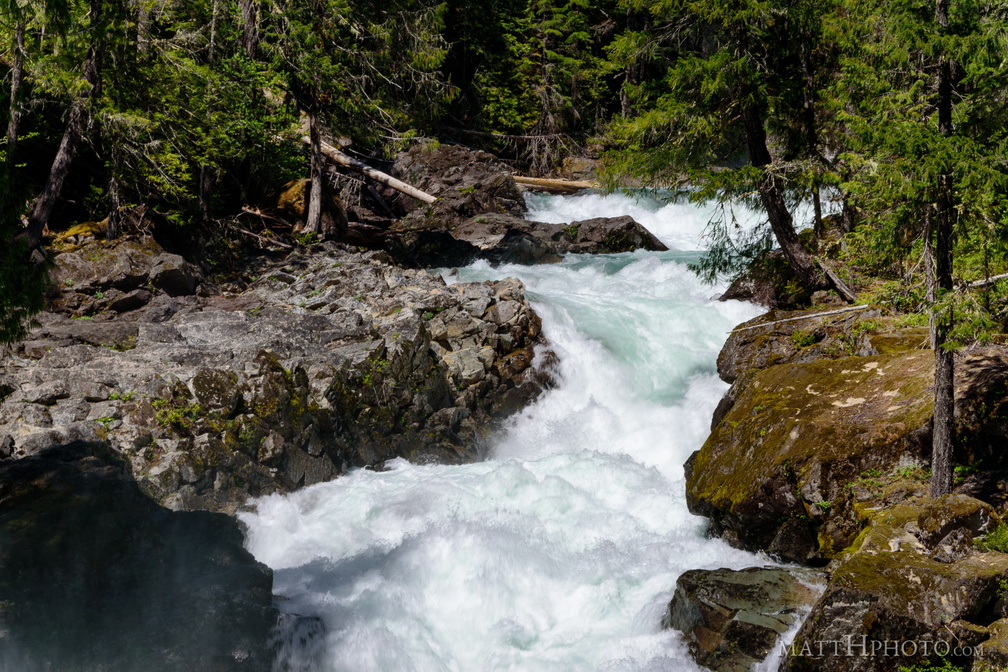 Above Silver Falls
Silver Falls, on the Ohanapecosh River, Mount Rainier National Park -
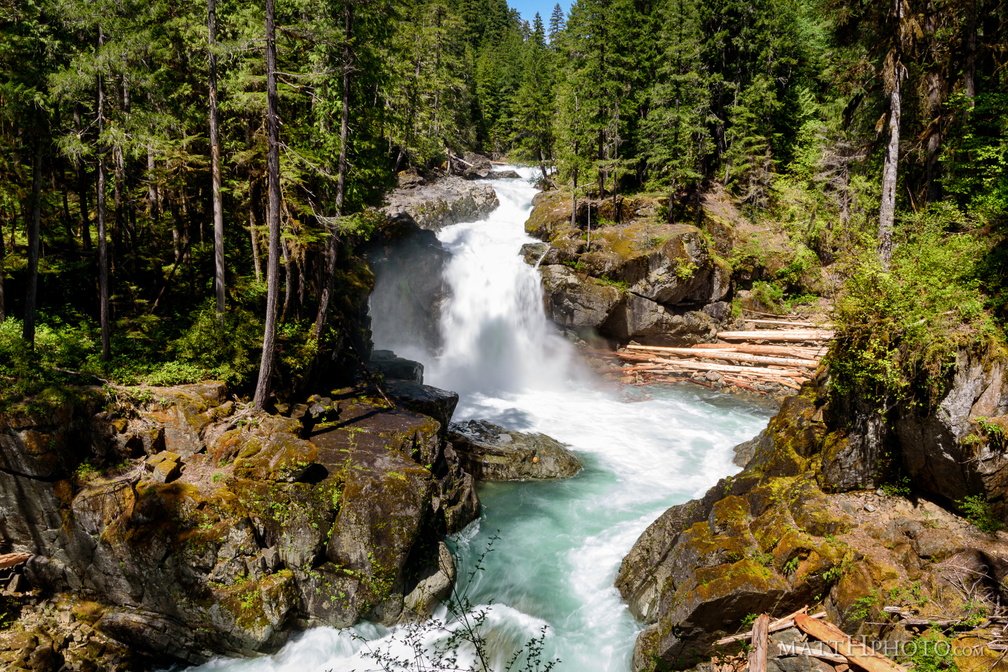 Silver Falls
Silver Falls, on the Ohanapecosh River, Mount Rainier National Park -
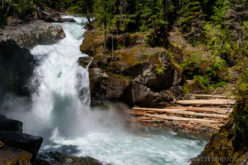 Silver Falls Plunge
Silver Falls, on the Ohanapecosh River, Mount Rainier National Park -
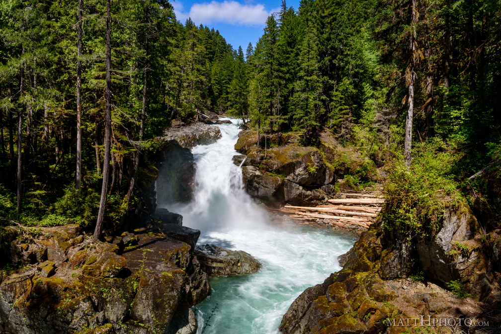 Silver Falls
Silver Falls, on the Ohanapecosh River, Mount Rainier National Park -
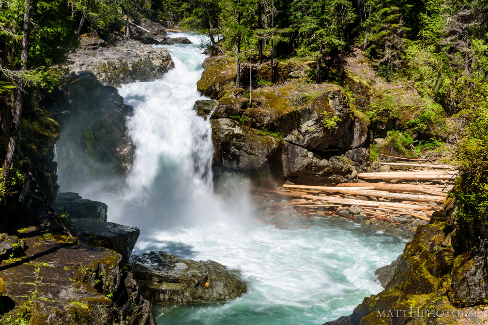 That's a big waterfall
Silver Falls, on the Ohanapecosh River, Mount Rainier National Park