
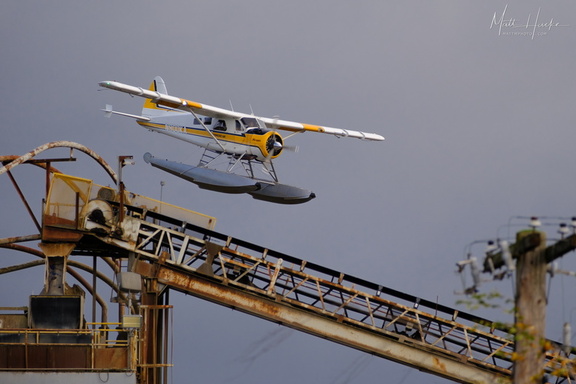
 Land near the rusty thing
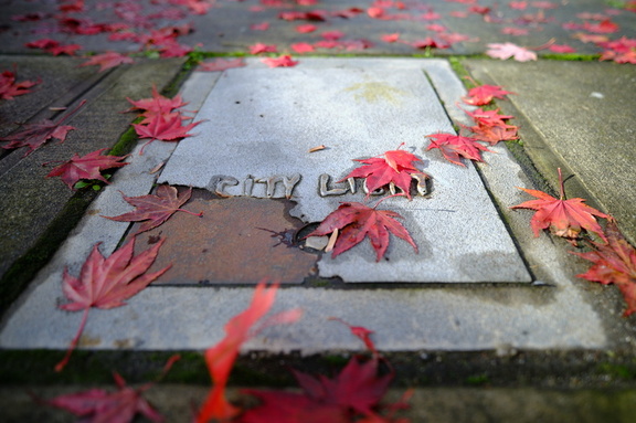 City Light
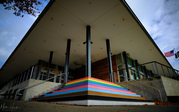 Kenmore CIty Hall
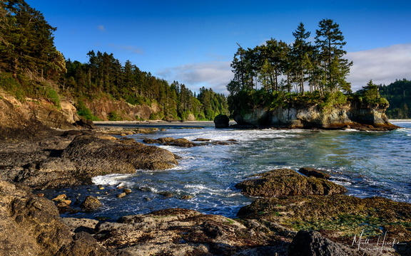 Wet Rocks
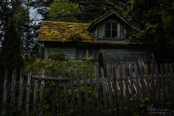 The Shunned House
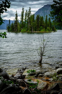 Emerald Island in Lake Wenatchee
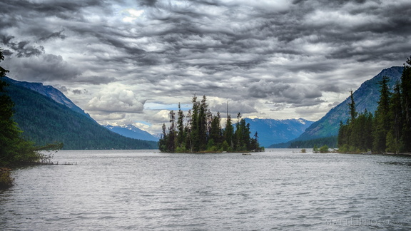 Emerald Island
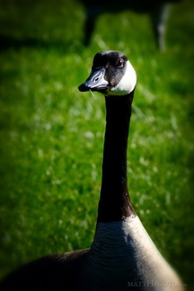 The Gander
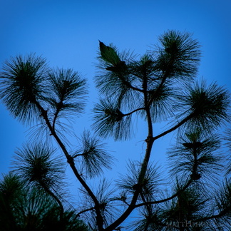 Top of the Pine
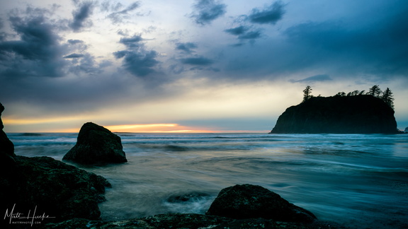 Ruby waters
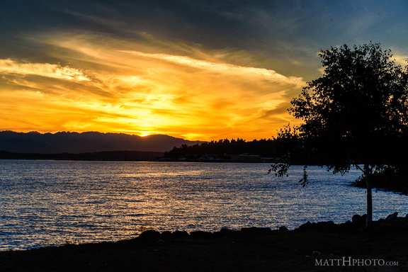 Puget's Gold
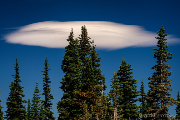 Lenticular
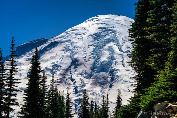 Rainier from Sunrise Point
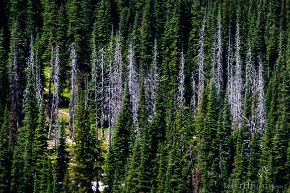 Snags
Snags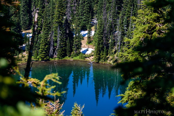 Sunrise Lake
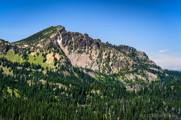 Palisades Peak
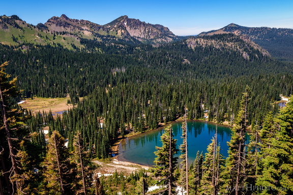 Sunrise Lake and Palisades Peak
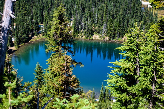 Sunrise Lake
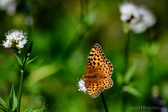 A spot of colour
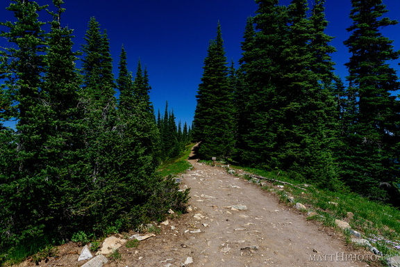 Palisades Lakes Trail
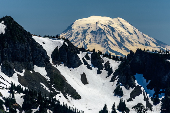 Mount Adams (from Rainier)
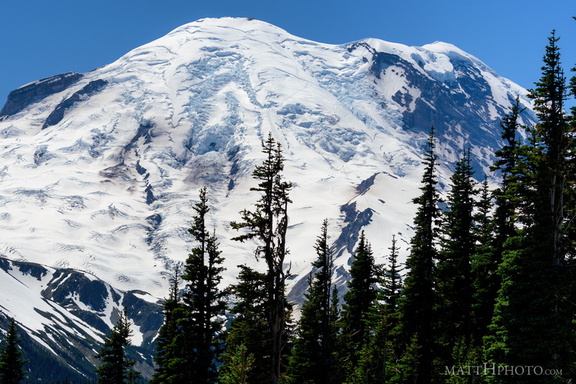 Sunrise Point
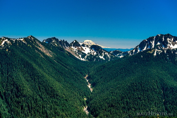 South from Sunrise Point
 Fryingpan Creek to Banshee Peak
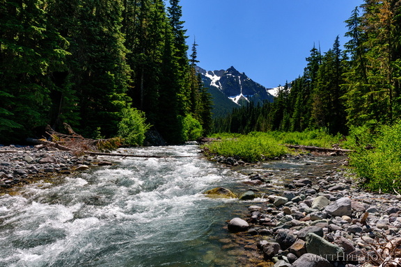 Fryingpan Creek to Banshee Peak
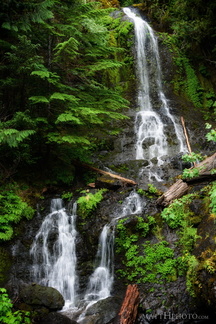 Falls Creek Falls
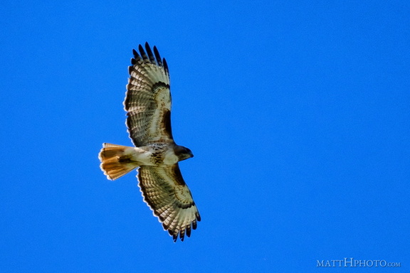 Above us, Osprey
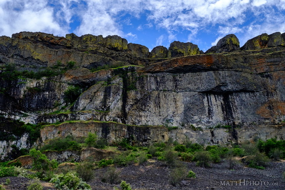 Teeth of the Coulee
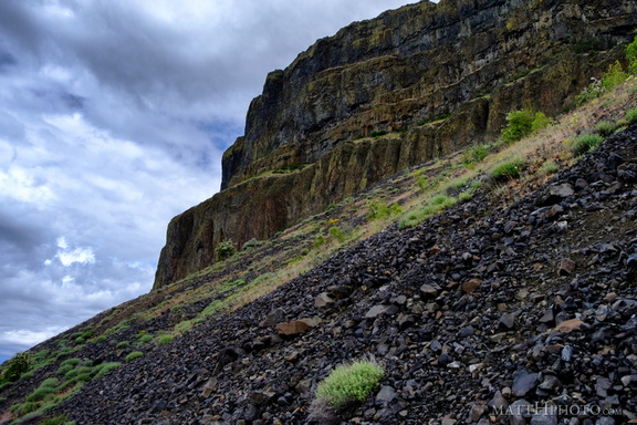 Grand Coulee
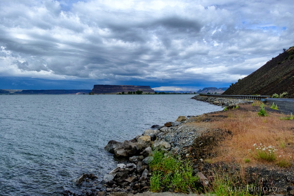 Banks Lake
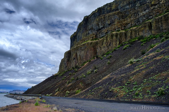 Grand Coulee
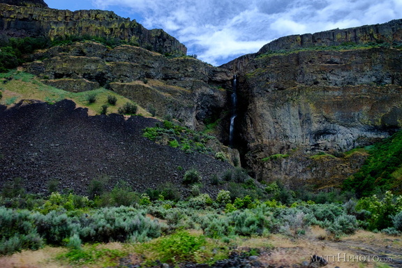 Grand Coulee
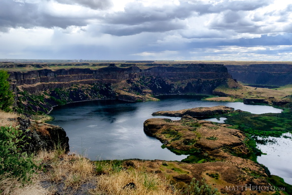 Dry Falls Lake
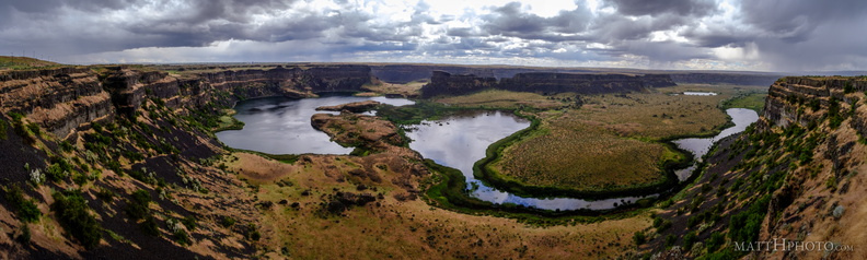 Dry Falls (Panorama)
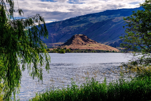 Turtle Rock Island
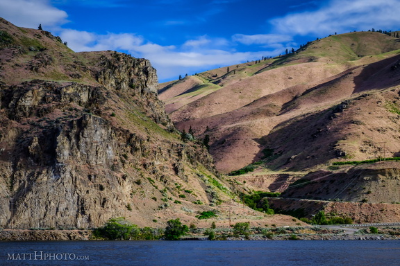 Lincoln Rock and Swakane Canyon
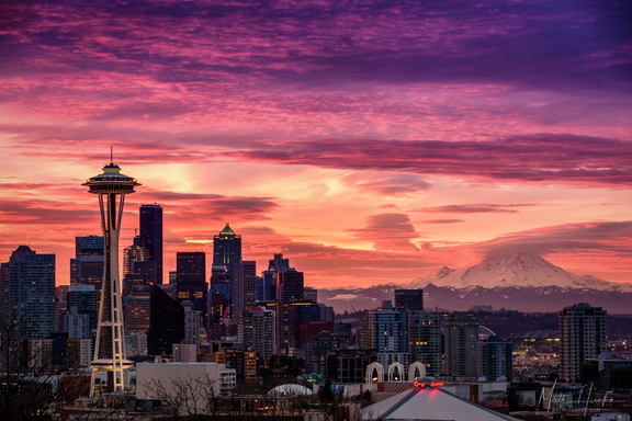 January Embers
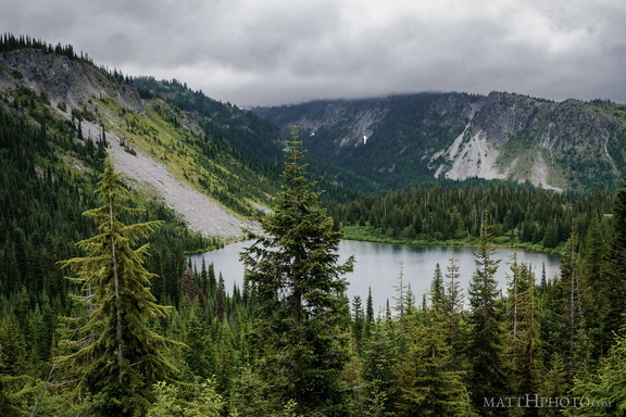 Louise Lake
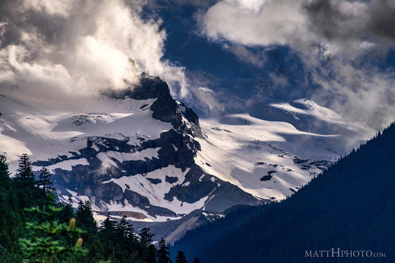 Little Tahoma
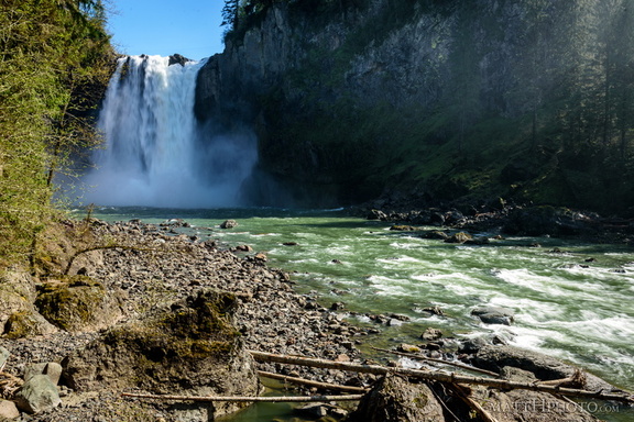 Lower Snoqualmie
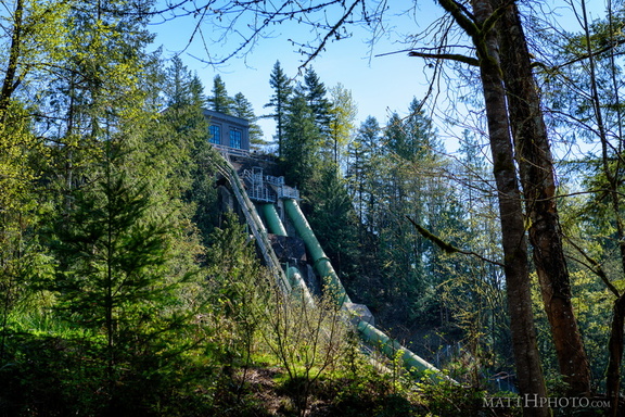 Snoqualmie Falls Hydroelectric Plant
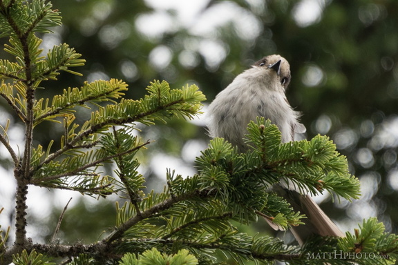 Rainier resident
 Eagle and Tumtum
 Inspiration Point
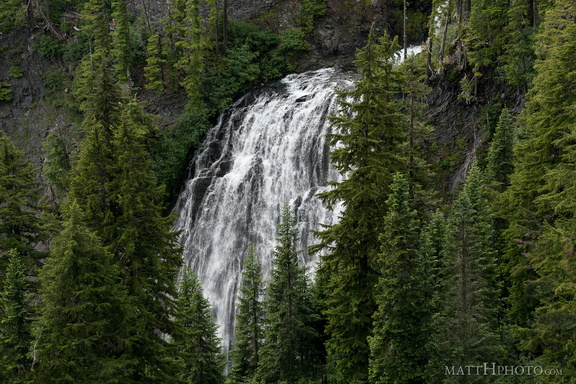 Narada Falls
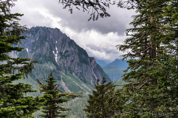 Eagle, between the trees
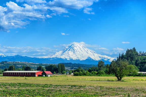 Train Tahoma
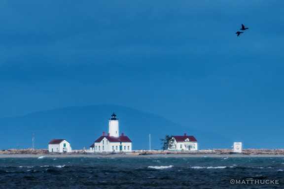 New Dungeness Lighthouse
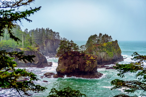 Corner of the Country