
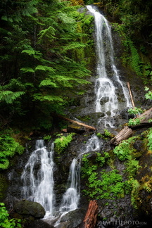
 Falls Creek Falls
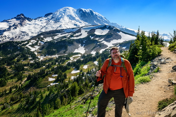 Look at me, I'm on a ridge.
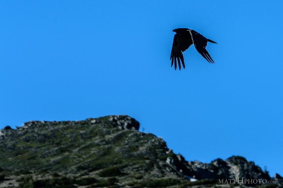 Rainier Raven
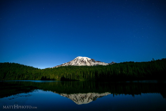 Glaciers in Moonlight
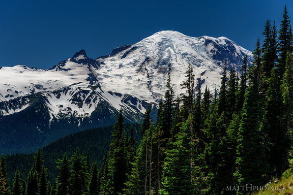 From Sunrise Point, the Mountain
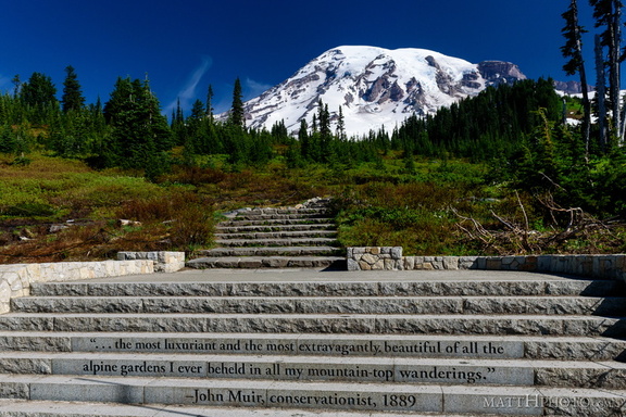 ...of all the alpine gardens
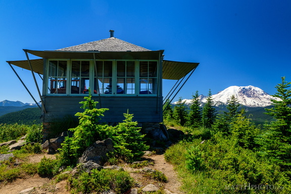 Sun Top Fire Lookout
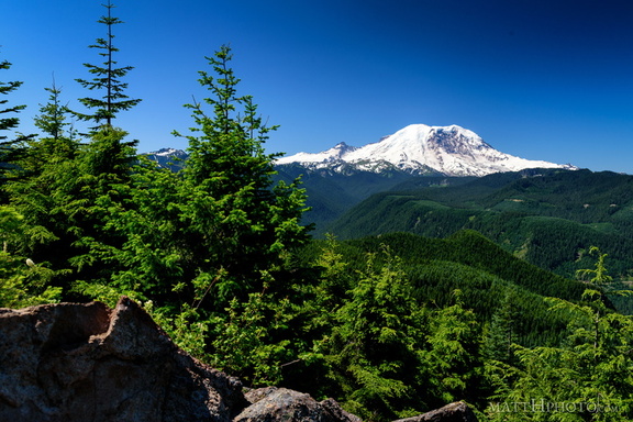 Sun Top Fire Lookout
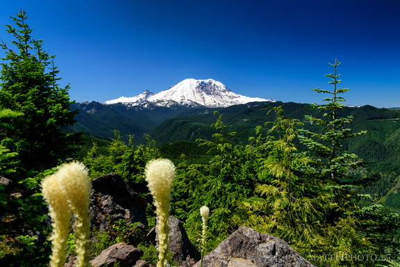 Sun Top Fire Lookout
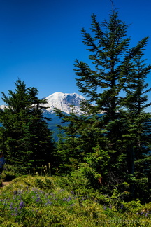 Sun Top Fire Lookout
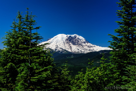 Sun Top Fire Lookout
 Sun Top Fire Lookout
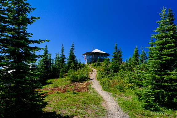 Sun Top Fire Lookout
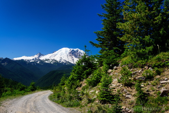 Sun Top Fire Lookout
 The North Face
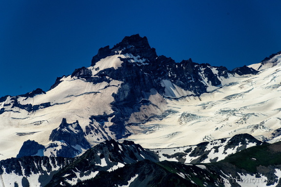 Little Tahoma
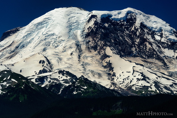 The North Face
 Fryingpan Creek to Banshee Peak
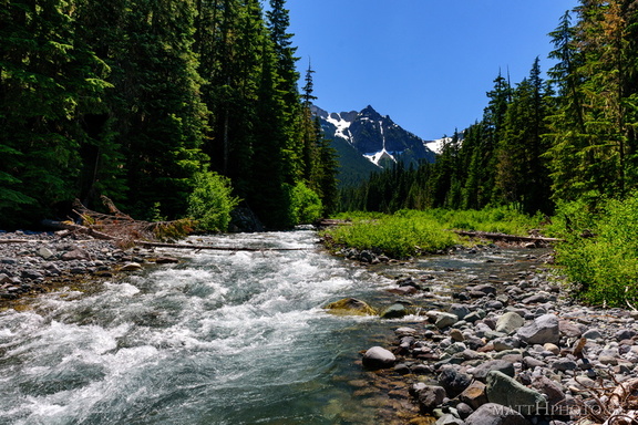 Fryingpan Creek to Banshee Peak
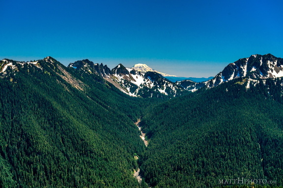 South from Sunrise Point
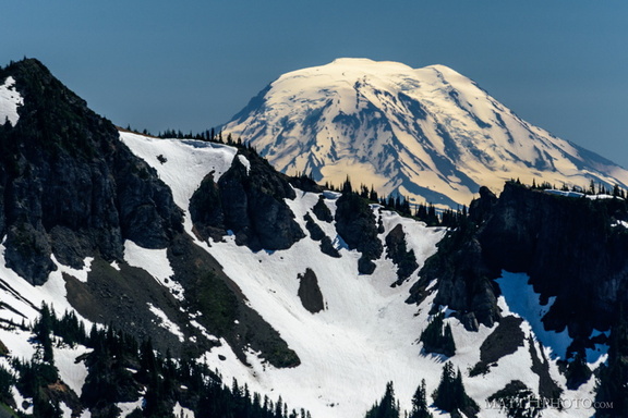 Mount Adams (from Rainier)
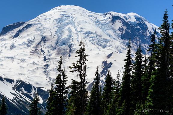 Sunrise Point
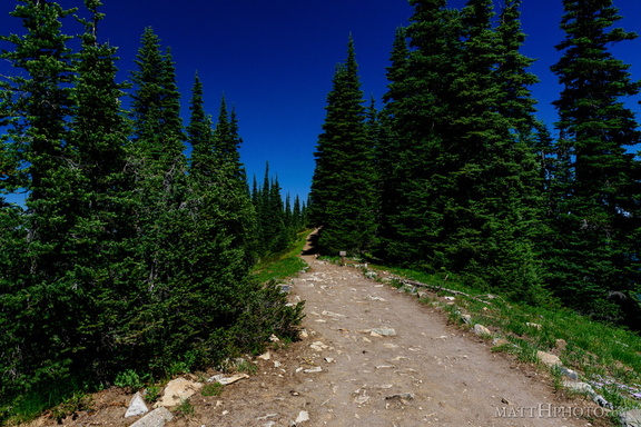 Palisades Lakes Trail
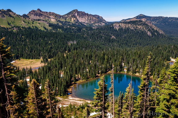 Sunrise Lake and Palisades Peak
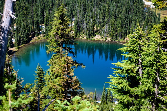 Sunrise Lake
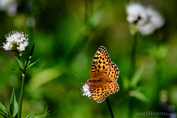 A spot of colour
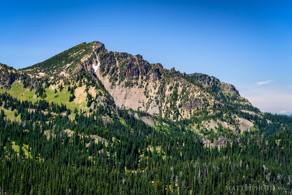 Palisades Peak
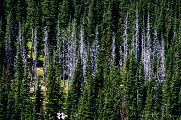 Snags
Snags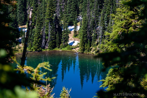 Sunrise Lake
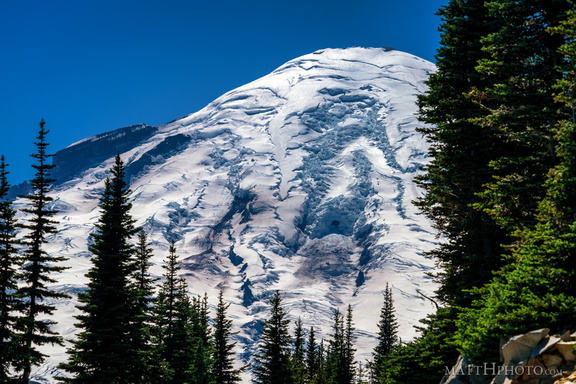 Rainier from Sunrise Point
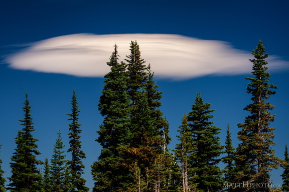 Lenticular
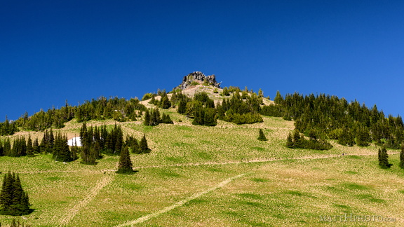 Sourdough Ridge Peak
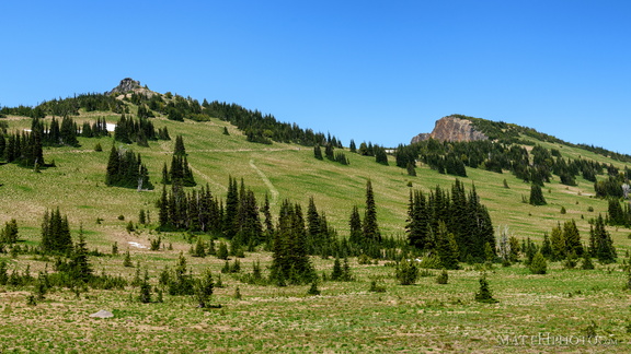 Sourdough Ridge
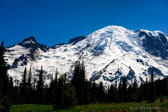 Rainier from Sunrise
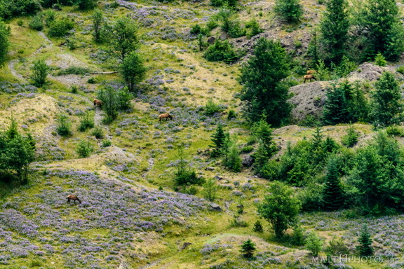 In the blasted zone
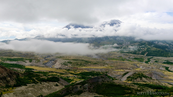 Cloud Saint Helens
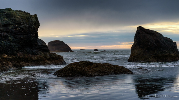 Peaceful sea (Pacific)
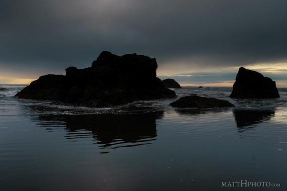 South Rocks
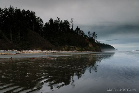 Land, mirrored
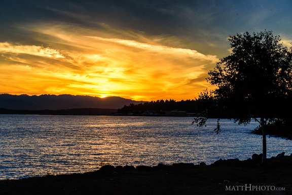 Puget's Gold
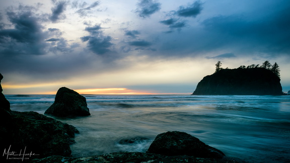 Ruby waters
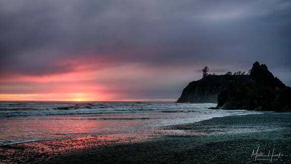 Ruby Beach, at the end of the day
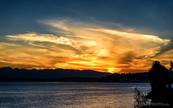 Puget's Gold II
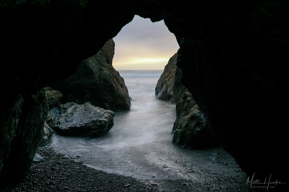 Olympic Keyhole