
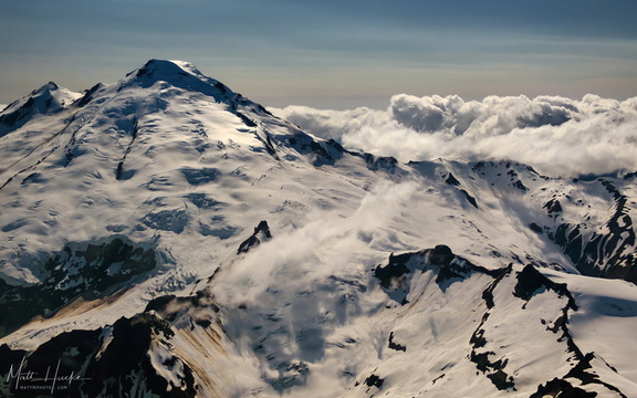
 East of Mount Baker
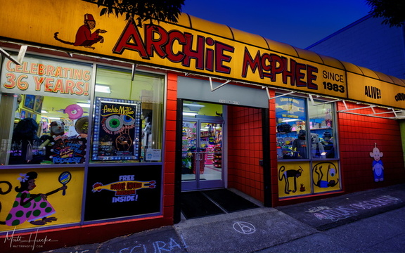 Archie McPhee
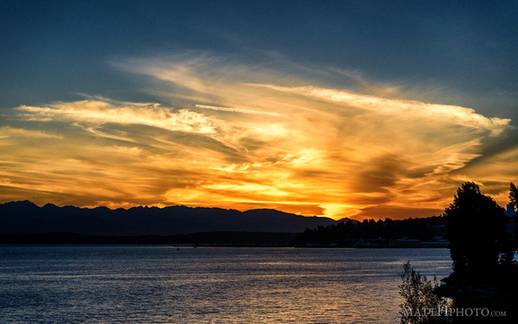 Puget's Gold II
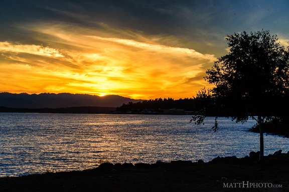 Puget's Gold
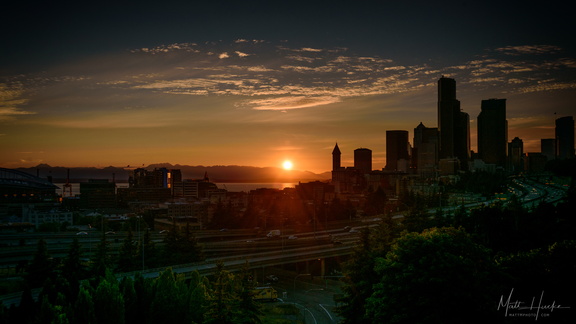 Nightfall
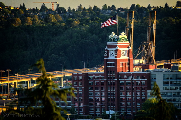 Fortress of Coffee World Domination
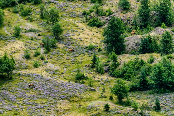 In the blasted zone
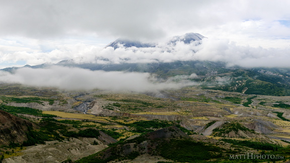 Cloud Saint Helens
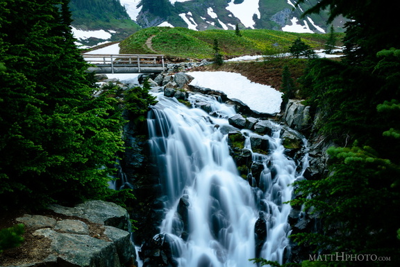 Top of Myrtle Falls
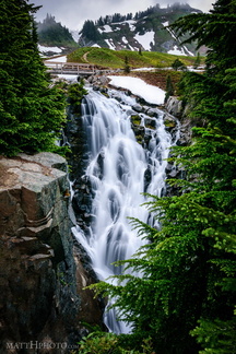 Myrtle Falls, Mount Rainier
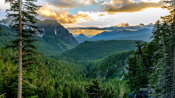 Sunset on the Tatoosh Range
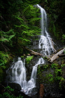 Falls Creek Falls (Rainier)
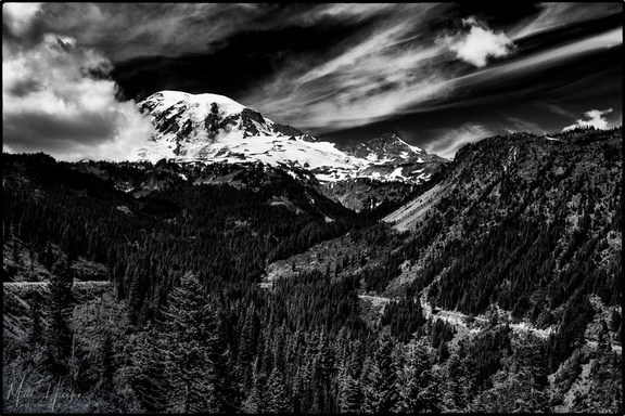 Stevens Canyon
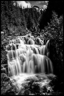 Sunshine Creek
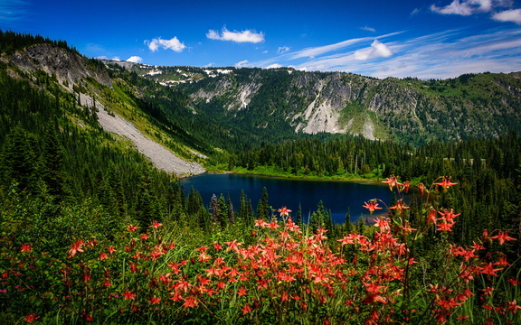 Louise Lake, Mount Rainier National Park
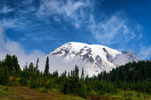 Cool Mist
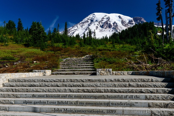 ...of all the alpine gardens
 Paradise
 Morning at Kautz Creek
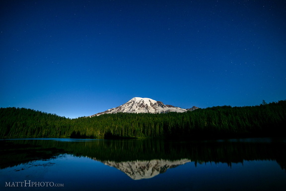 Glaciers in Moonlight
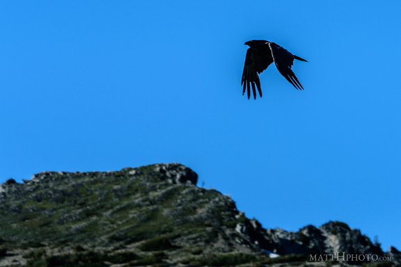 Rainier Raven
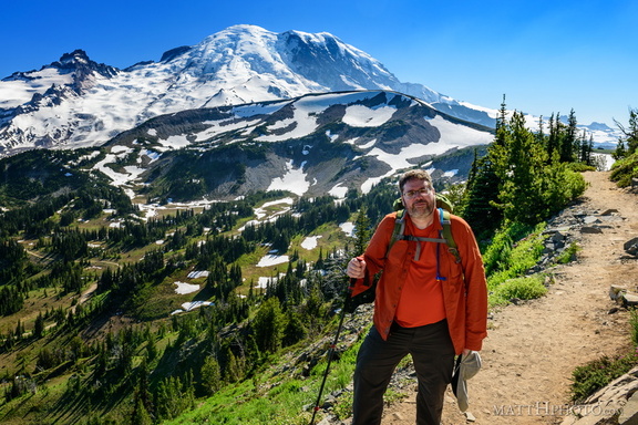 Look at me, I'm on a ridge.
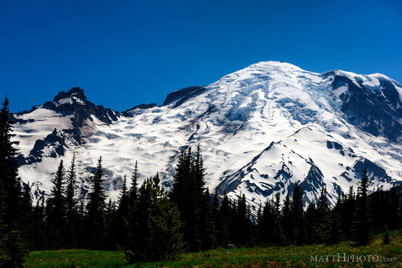 Rainier from Sunrise
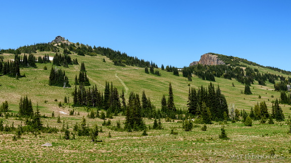 Sourdough Ridge
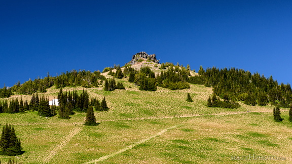 Sourdough Ridge Peak
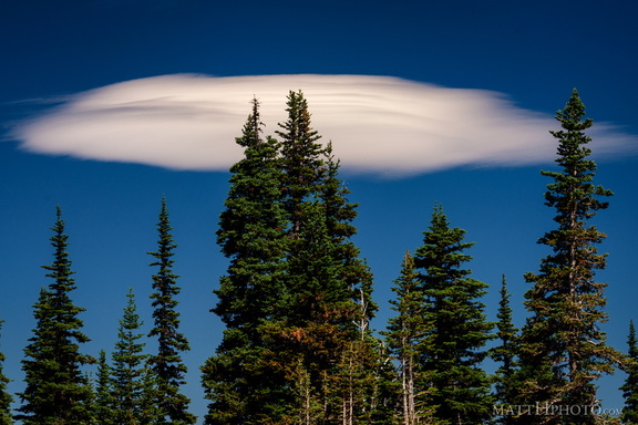 Lenticular
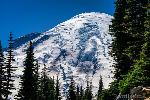 Rainier from Sunrise Point
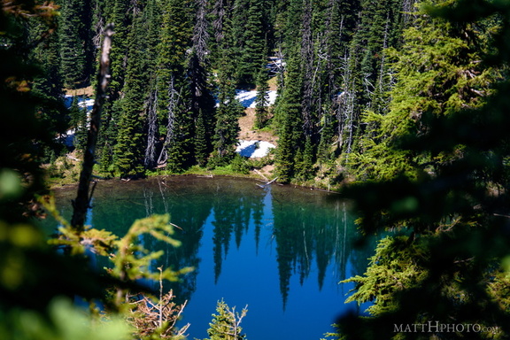 Sunrise Lake
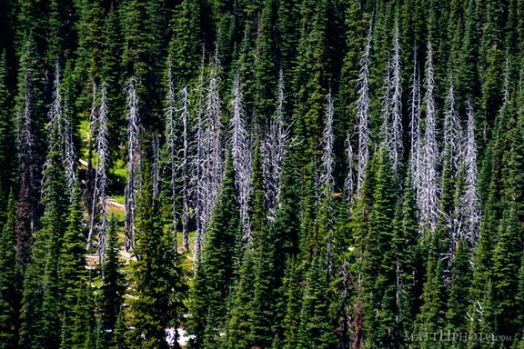 Snags
Snags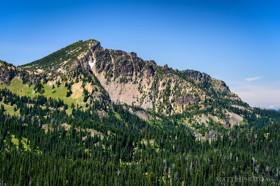 Palisades Peak
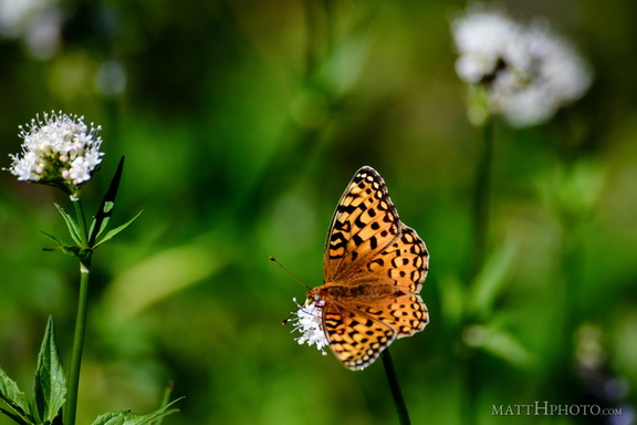 A spot of colour
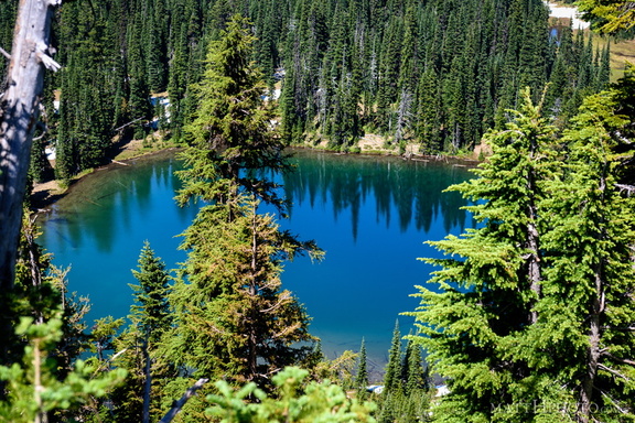 Sunrise Lake
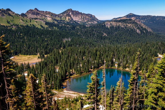 Sunrise Lake and Palisades Peak
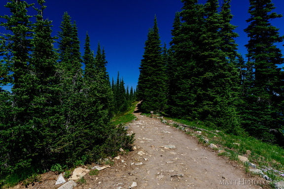 Palisades Lakes Trail
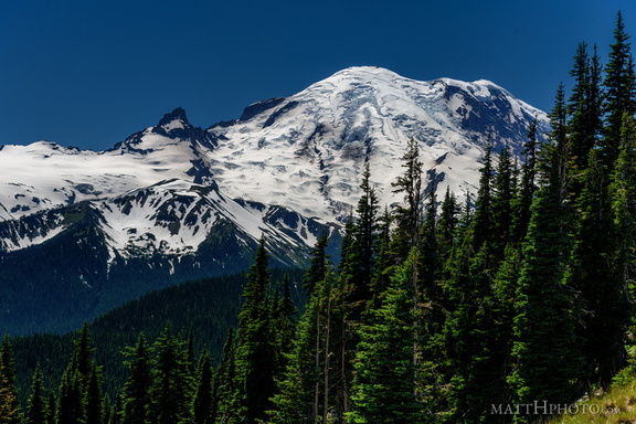 From Sunrise Point, the Mountain
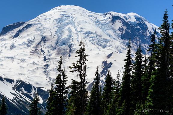 Sunrise Point
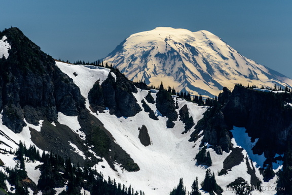 Mount Adams (from Rainier)
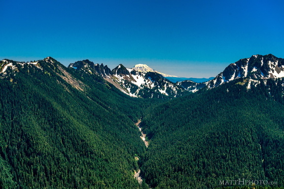 South from Sunrise Point
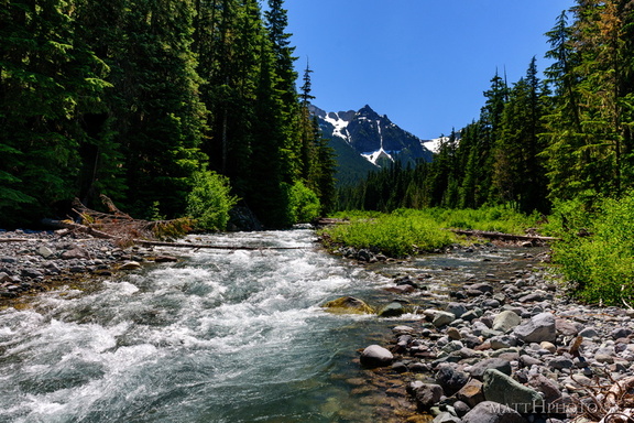 Fryingpan Creek to Banshee Peak
 Fryingpan Creek to Banshee Peak
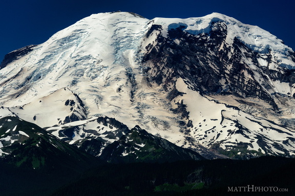 The North Face
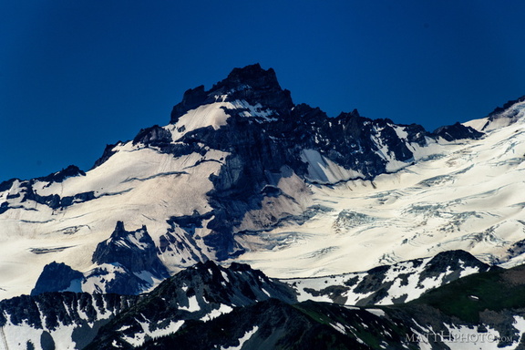 Little Tahoma
 The North Face
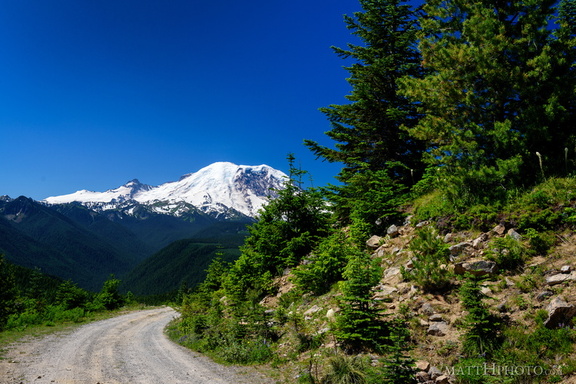 Sun Top Fire Lookout
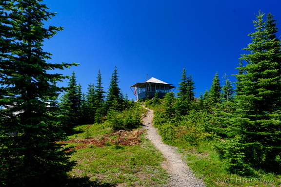 Sun Top Fire Lookout
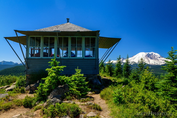 Sun Top Fire Lookout
 Sun Top Fire Lookout
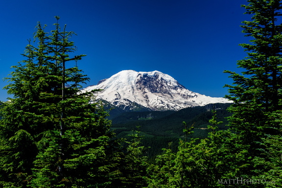 Sun Top Fire Lookout
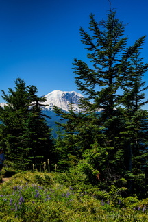 Sun Top Fire Lookout
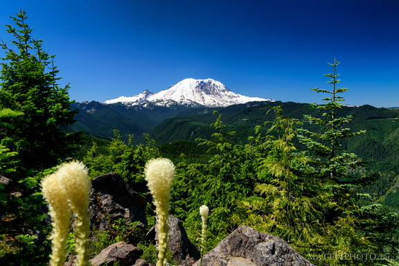 Sun Top Fire Lookout