
-
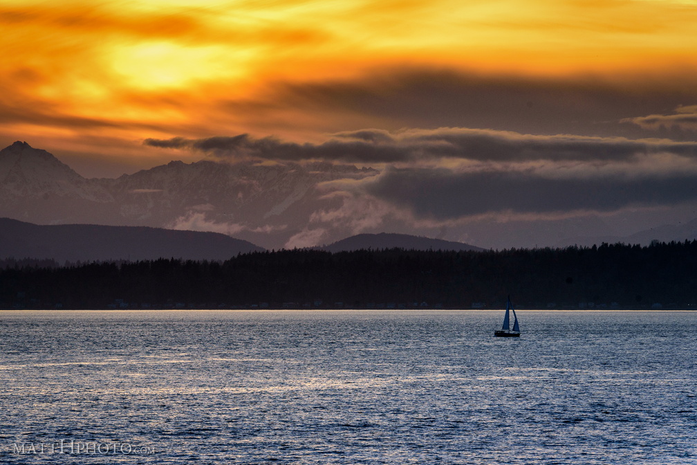 Golden Moment
-
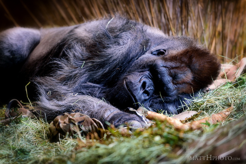 Gorilla nap
-
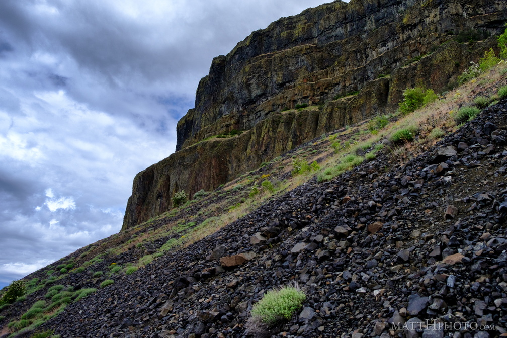 Grand Coulee
-
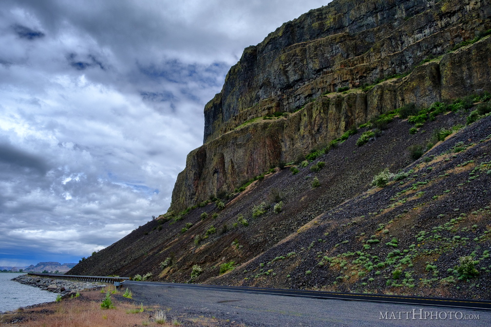 Grand Coulee
-
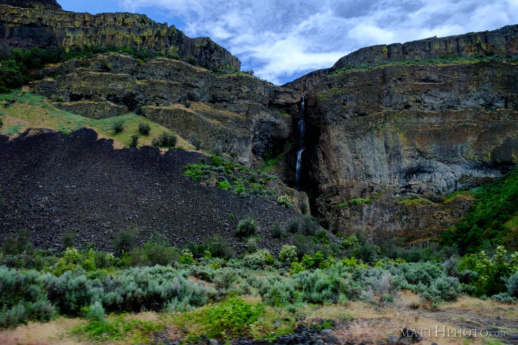 Grand Coulee
-
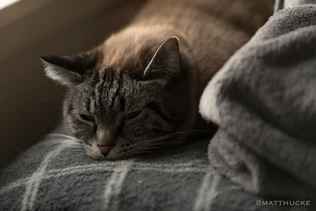 Grey on Grey
Maude tries to blend in. -
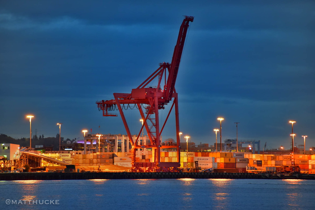 Harbour Colossus
-
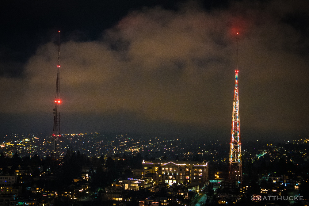 Holiday antenna
-
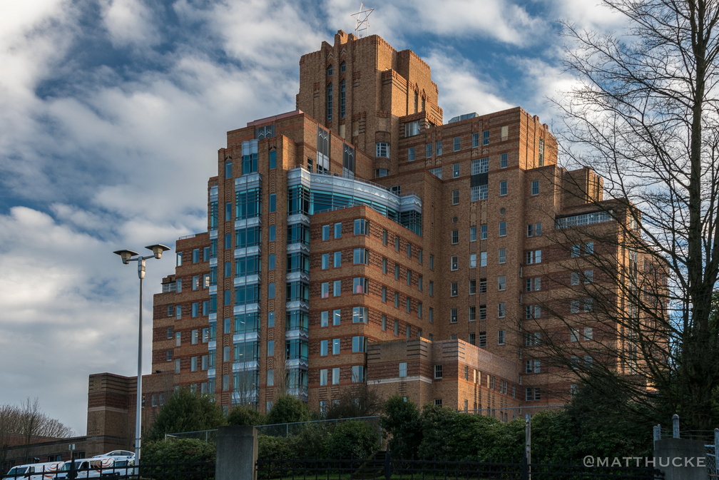 Hospital with a View
Pacific Medical Center, Beacon Hill, December 2015 -
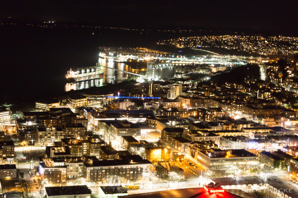 I live in the glow
-
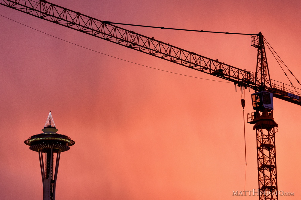 Industry takes a holiday
-
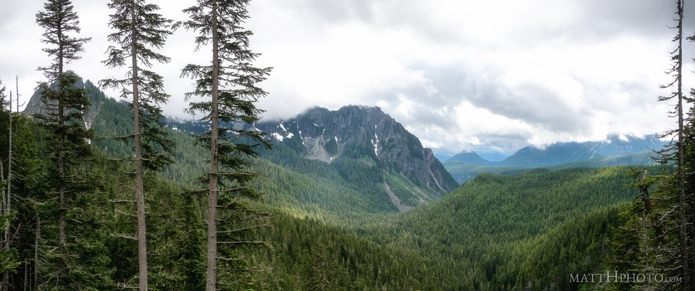 Inspiration Point
Lane Peak (6012 ft) and Eagle Peak (5958 ft) from Inspiration Point, Stevens Canyon Road, Mount Rainier National Park. 3-shot panorama. -
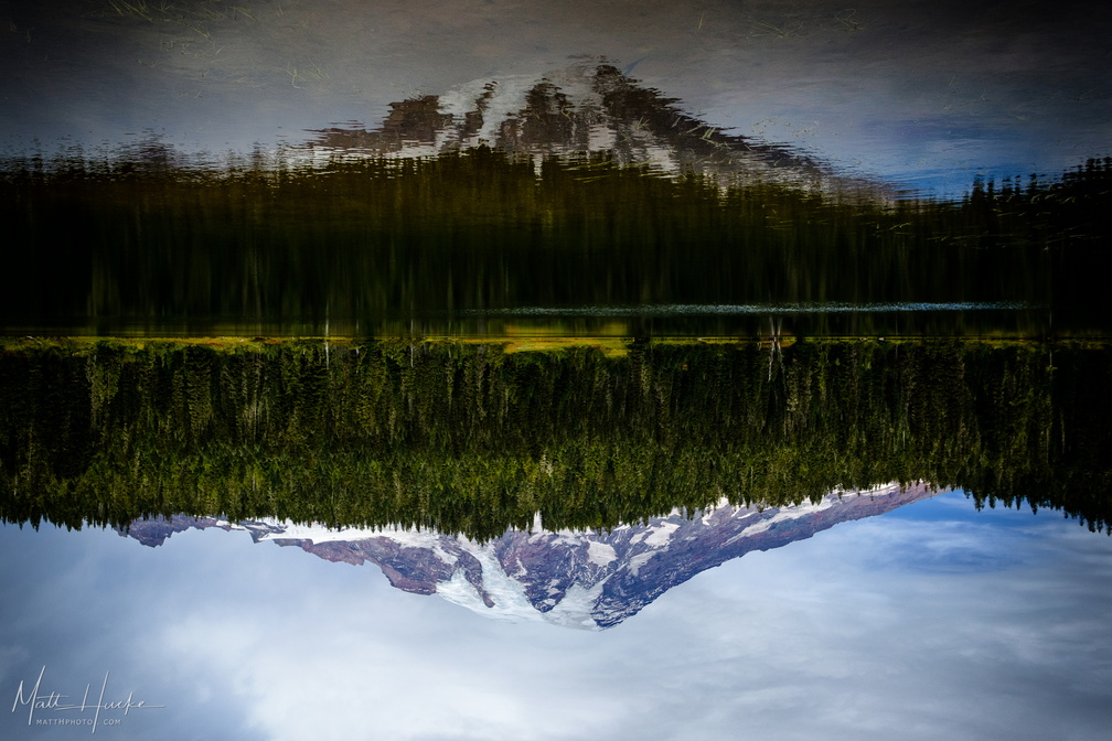 Inversion
-
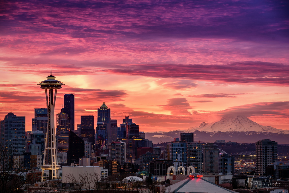 January Embers
-
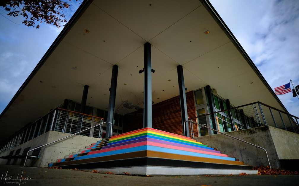 Kenmore CIty Hall
-
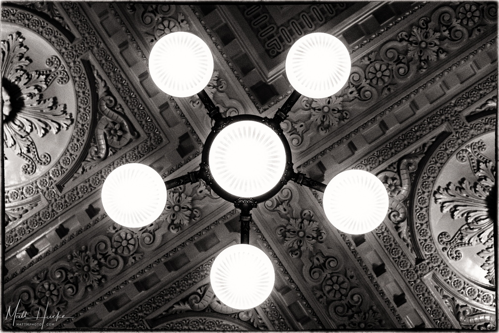 King Lamp
King Street (Rail) Station, Seattle -
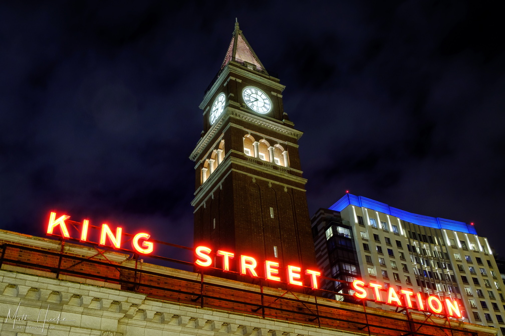 King Street Station
-
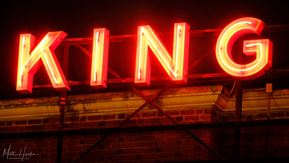 King Street Station
-
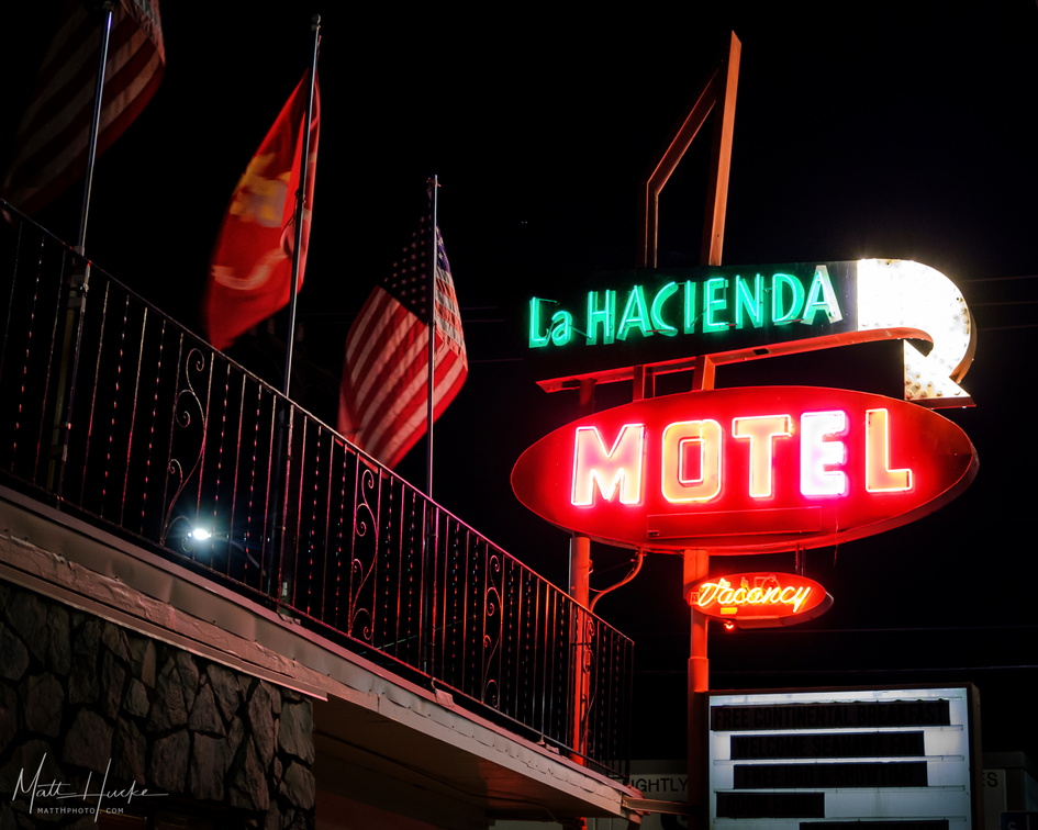 La Hacienda Motel
-
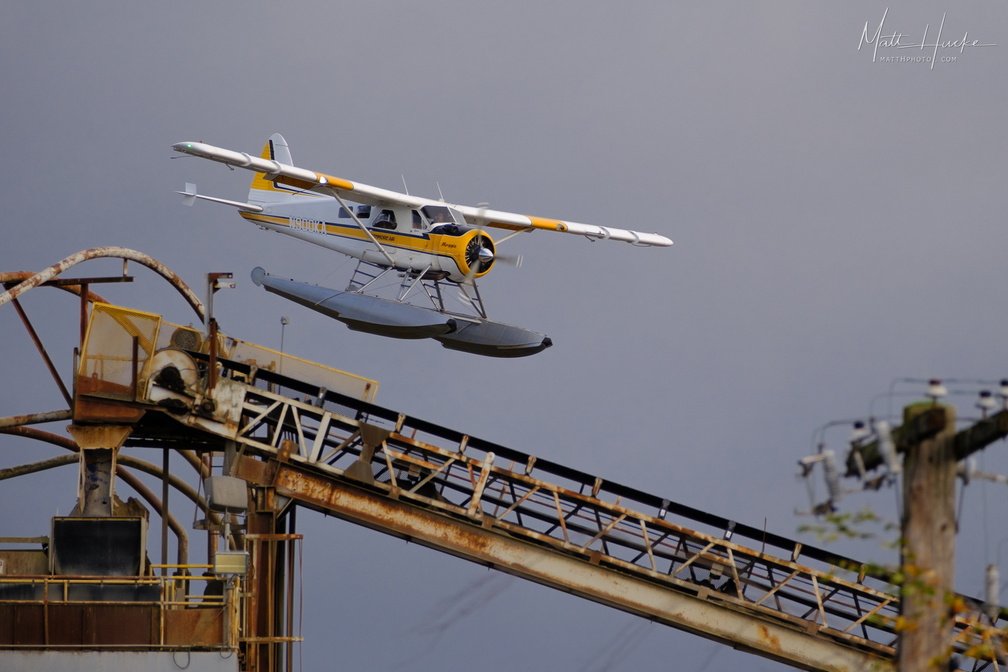 Land near the rusty thing
-
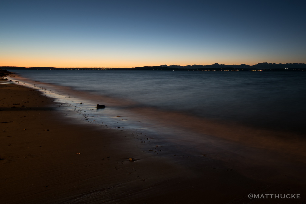 Last light on the beach
-
 Learning to Crow
young crow learning to fly in a Seattle parking lot -
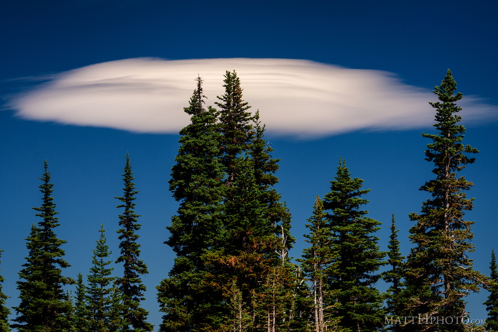 Lenticular
Lenticular cloud, looking east from Sunrise Point (6130ft), Mount Rainier National Park. -
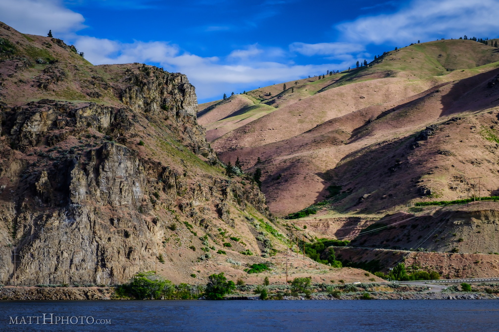 Lincoln Rock and Swakane Canyon
Lincoln Rock, at the southeast end of Swakane Canyon, Wenatchee WA -
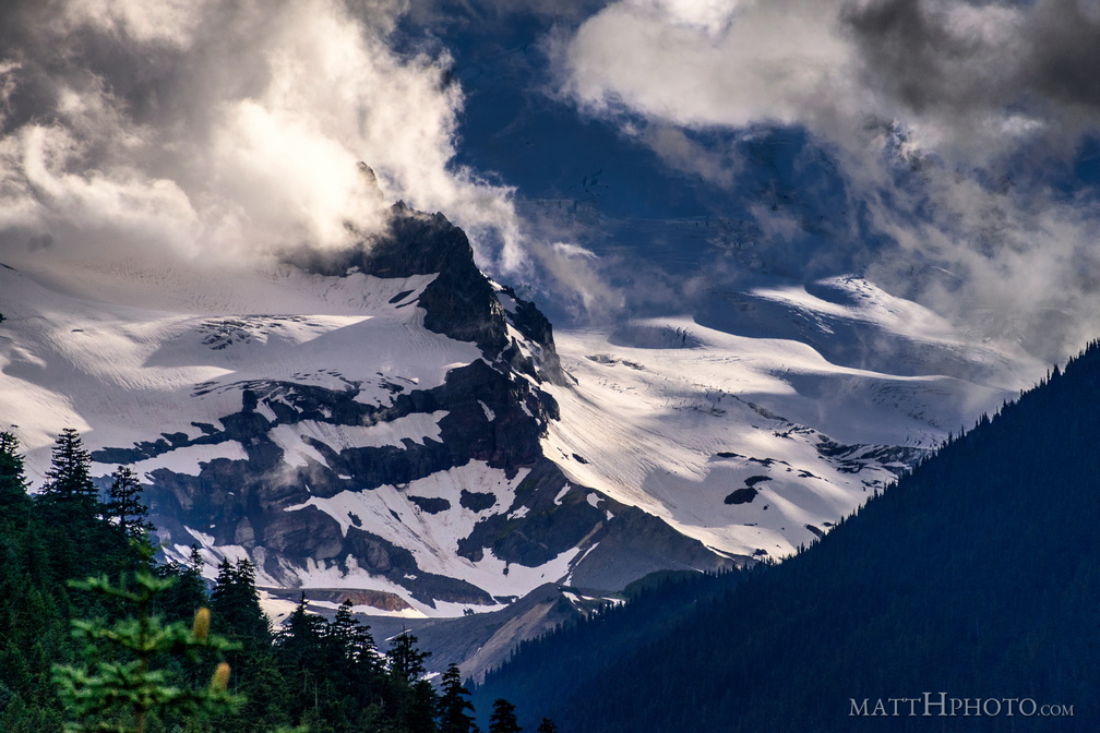 Little Tahoma
Little Tahoma Peak, a secondary peak of Mount Rainier, on a cloudy day in July -
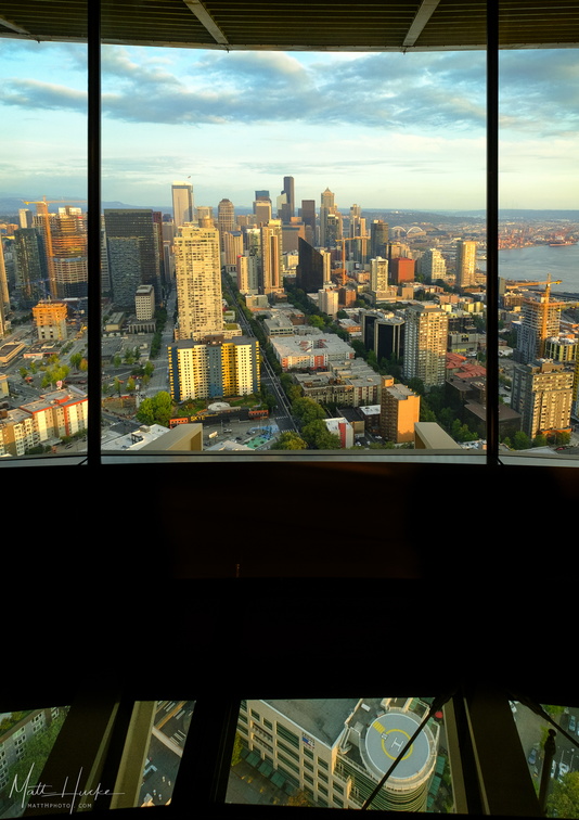 Look Out, Look Down
The Space Needle's new glass floor provides a skyline view that you can walk into. -
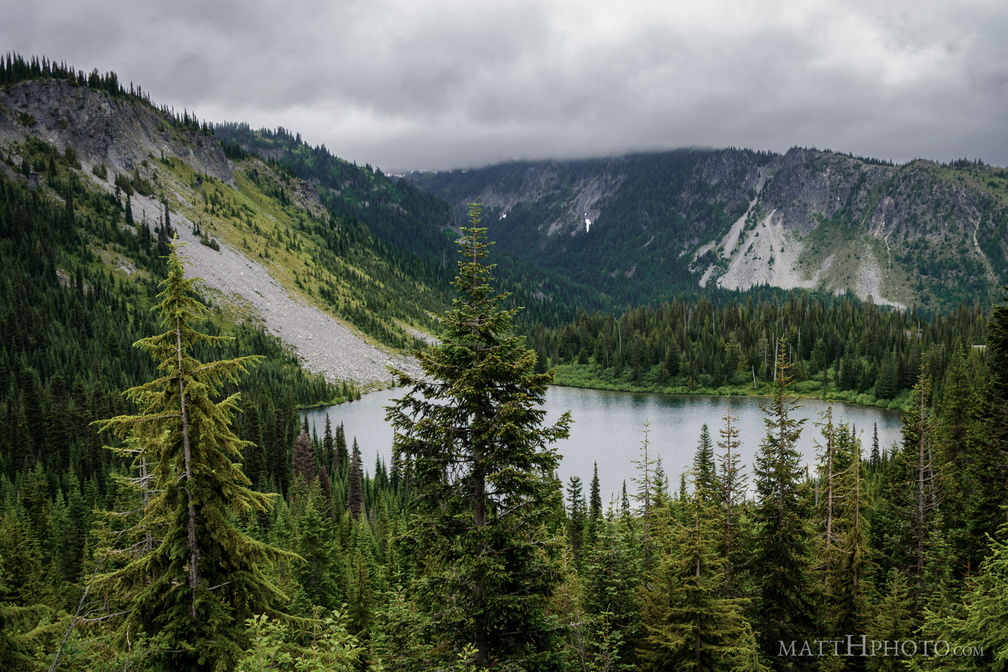 Louise Lake
Louise Lake at Mount Rainier National Park -
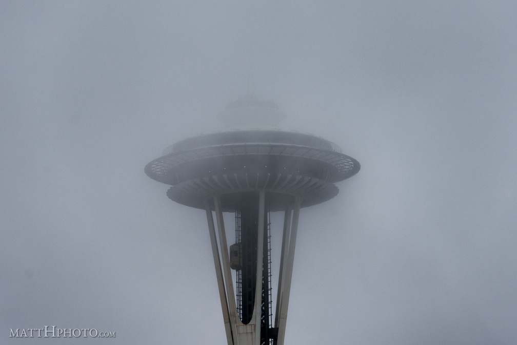 Low Visibility at 520 Feet
-
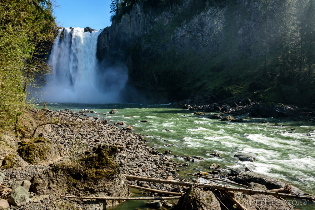 Lower Snoqualmie
Snoqualmie falls and Snoqualmie River, from below -
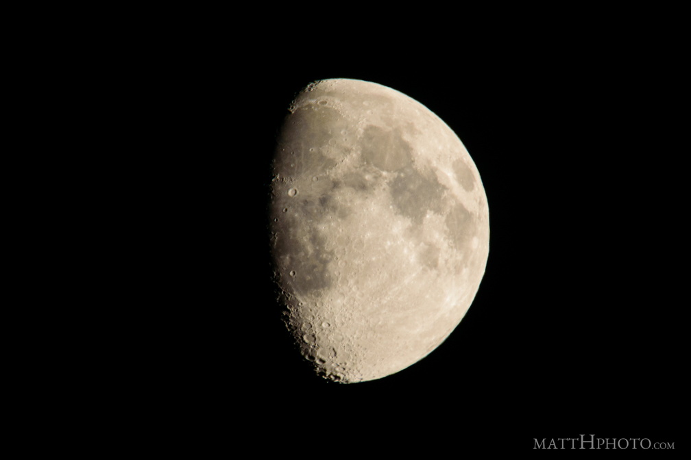 luna
luna
-
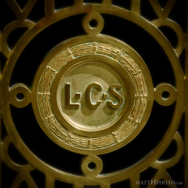 Lyman Cornelius Smith
Smith Tower elevator detail, for its builder, Lyman Cornelius Smith (1850-1910) -
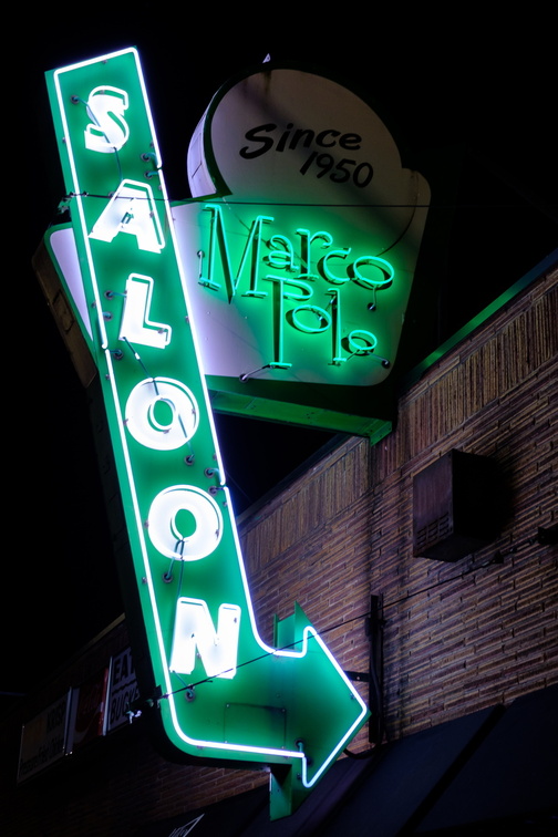 Marco Polo Saloon
-
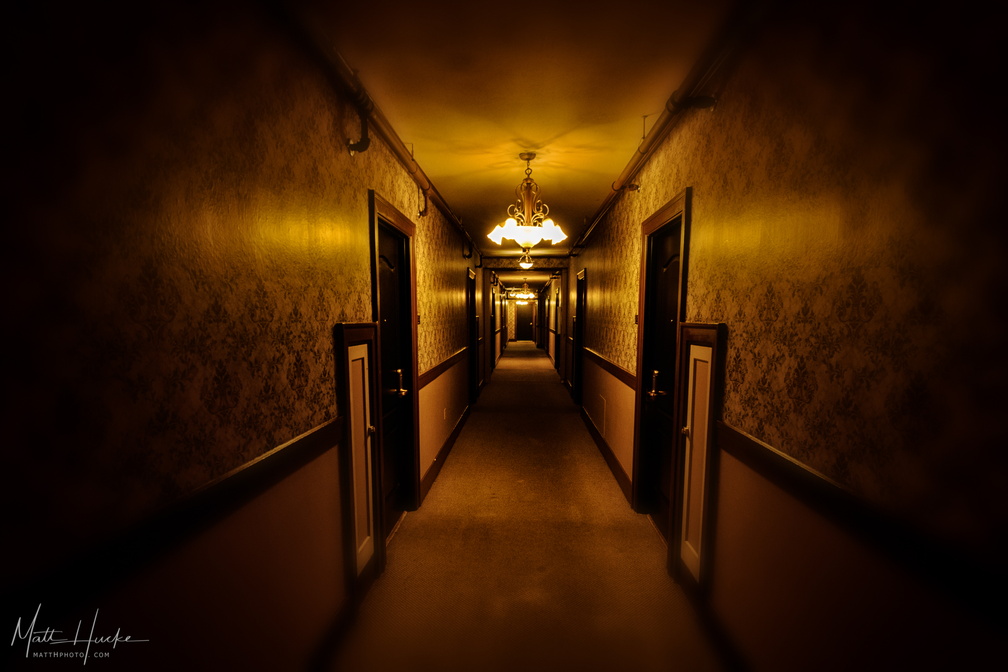 MarQueen Corridor
-
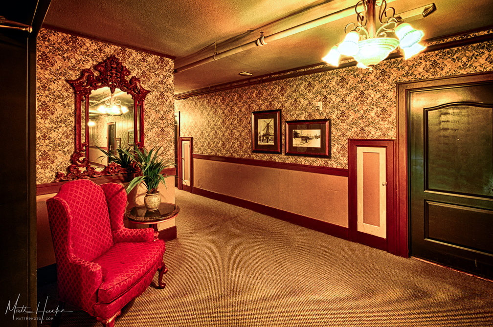 MarQueen Corridor
-
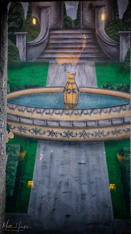 Marqueen Garden
-
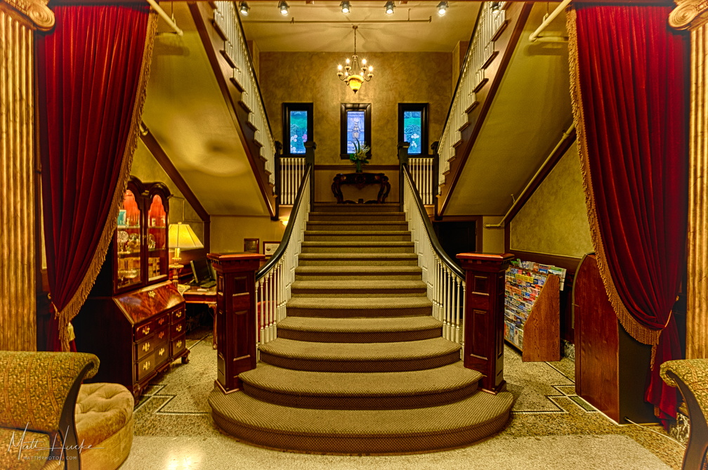 Marqueen Staircase
-
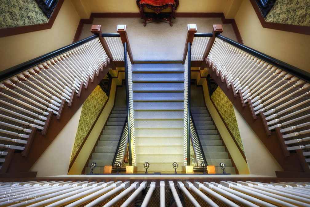 Marqueen Staircase II
-
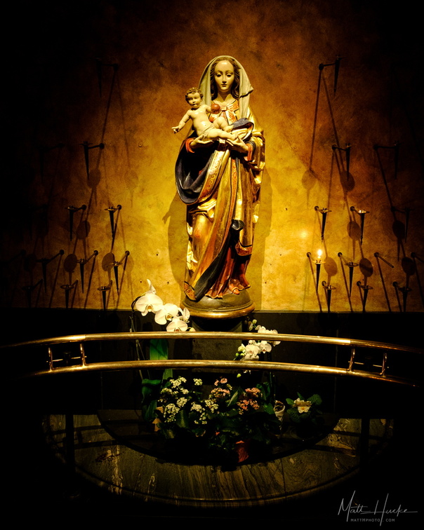 Mary
Mary
Virgin Mary shrine at St James Cathedral, Seattle -
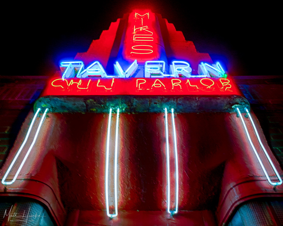 Mike's Chili Parlor
Ballard, Seattle, since 1922. -
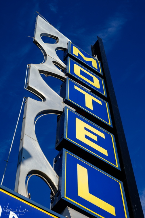 MOTEL
MOTEL
Marco Polo Motel, Aurora Ave, Seattl -
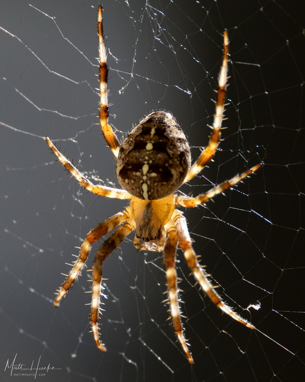 Mothback Carpetsweeper
Araneus diadematus, cross orb weaver aka European garden spider. (Alternative species name contributed by "Strange Planet" creator Nathan W. Pyle) -
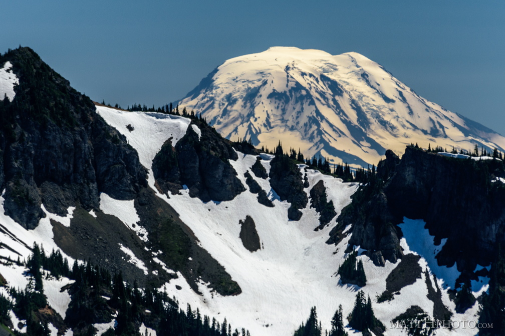 Mount Adams (from Rainier)
View from Sunrise Point, Mount Rainier National Park. Barrier Peak is in the foreground. -
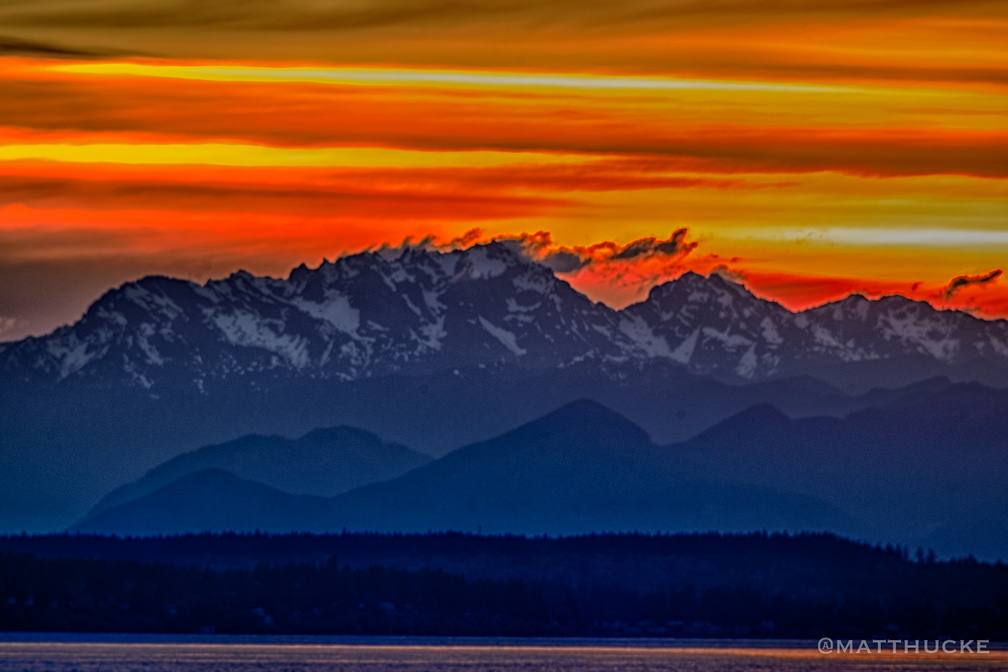 Mount Constance Sunset
Sunset behind Mount Constance, from Myrtle Edwards Park, Seattle. Two-frame HDR, cropped from 300mm. -
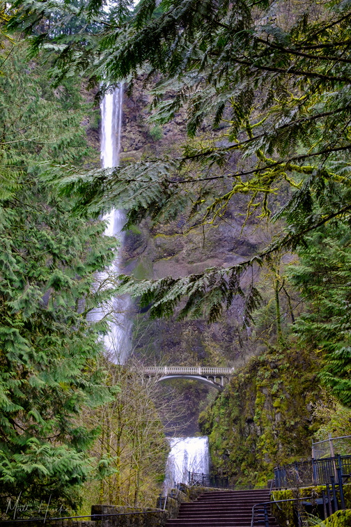 Multnomah Falls
Multnomah Falls, Oregon, while still partially closed to the public due to fire damage. Shot through a chain-link fence. -
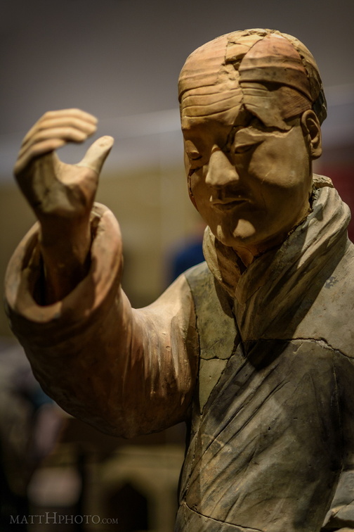 Musician for the Afterlife
Terra cotta figure from the tomb of the first Chinese emperor, thought to be a musician due to his hand positions and lack of armour. Any instrument he carried has long since crumbled to dust. -
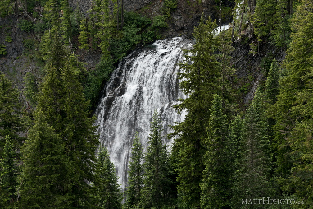 Narada Falls
Narada Falls, as seen from Stevens Canyon Road, Mount Rainier National Park -
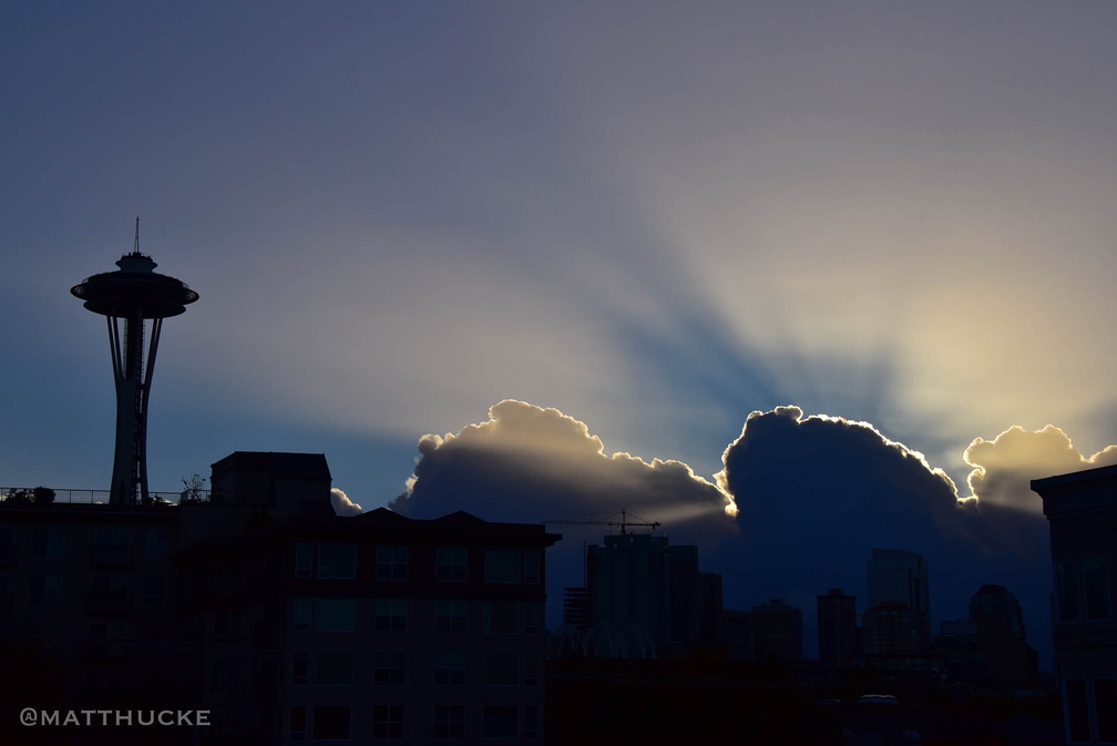 Needle Sunrise
-
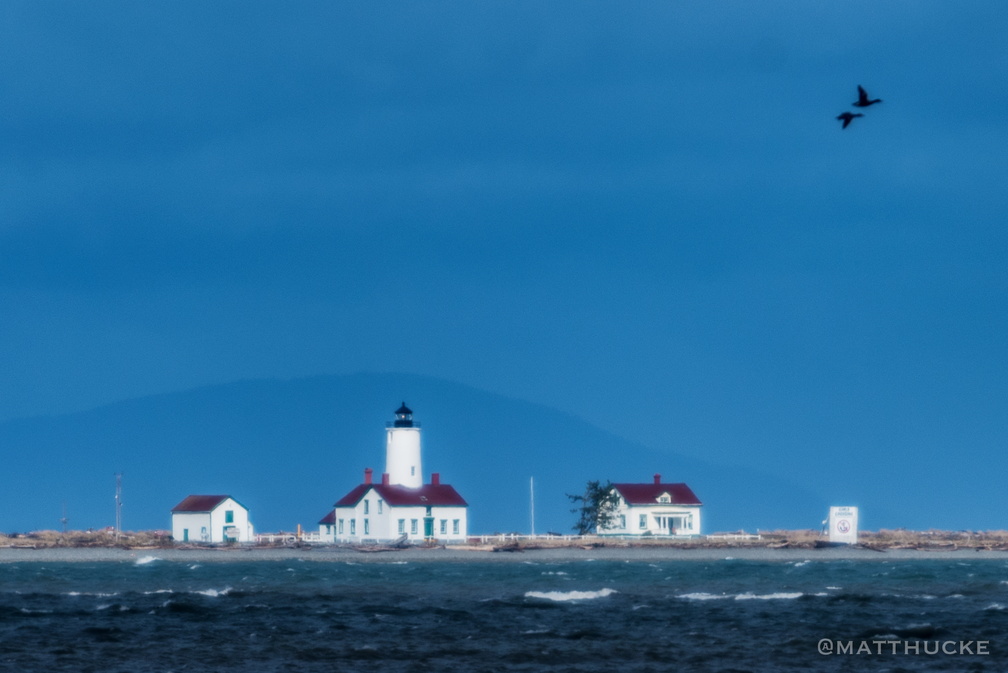 New Dungeness Lighthouse
Located 5 miles out from the mainland; shot from shore at 400mm, cropped to 1/3rd. -
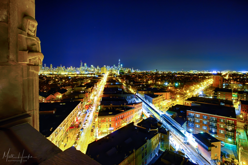 Night at the Robey
Shot from the roof of the Robey Hotel, Chicago. Milwaukee avenue extends upwards from the bottom left, Damen avenue extends to the center-right. The Damen Blue Line El station is at lower right. -
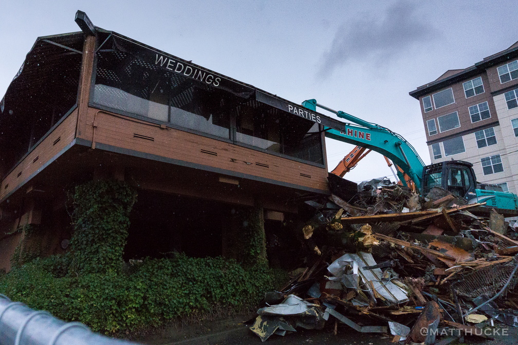 No more weddings. No more parties.
Demolition of a banquet hall, Seattle. This was the former location of Kaspars Special Events and Catering, which moved to a new property in 2015.