
-
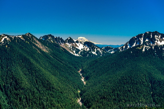 South from Sunrise Point
View from Sunrise Point, Mount Rainier National Park. Mount Adams is in the distance; in the foreground are Governors Ridge, Barrier Peak, and Tamanos Mountain. -
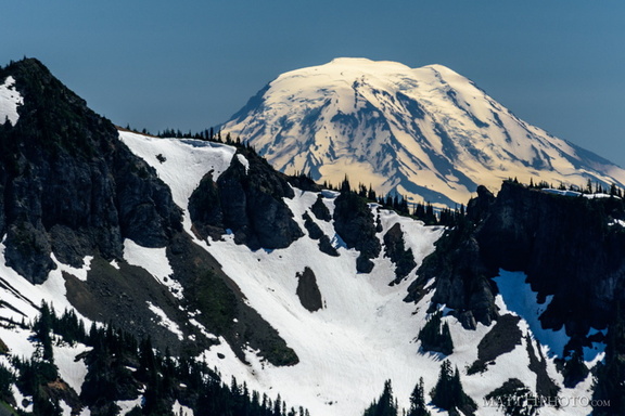 Mount Adams (from Rainier)
View from Sunrise Point, Mount Rainier National Park. Barrier Peak is in the foreground. -
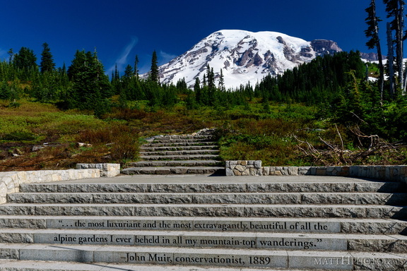 ...of all the alpine gardens
-
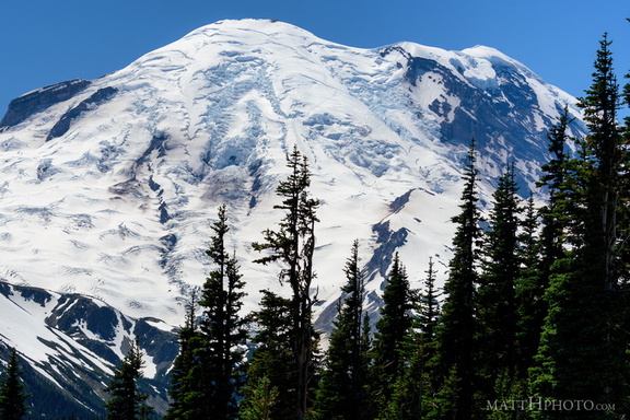 Sunrise Point
View from Sunrise Point, Mount Rainier National Park -
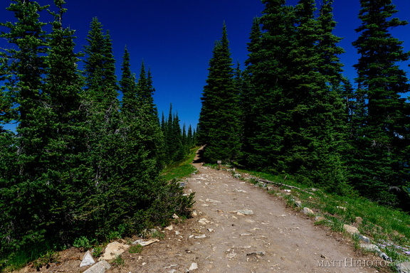 Palisades Lakes Trail
View from Sunrise Point, Mount Rainier National Park -
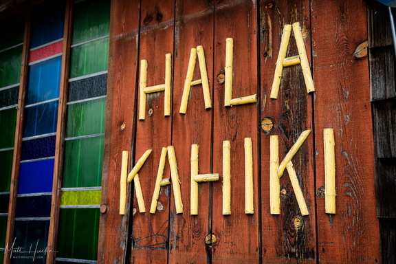 Hala Kahiki
Chicago-area tiki bar, since 1964 -
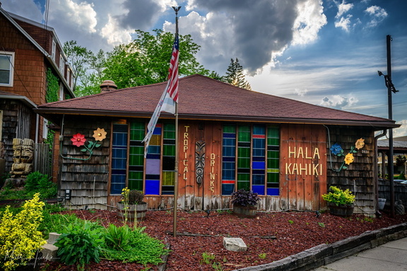 Hala Kahiki
Chicago-area tiki bar, since 1964 -
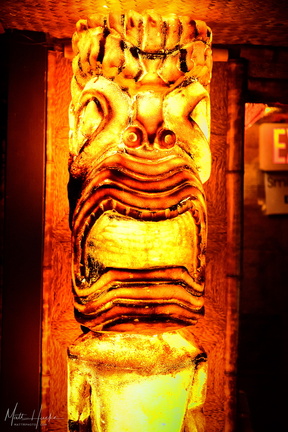 Hala Kahiki
Chicago-area tiki bar, since 1964 -
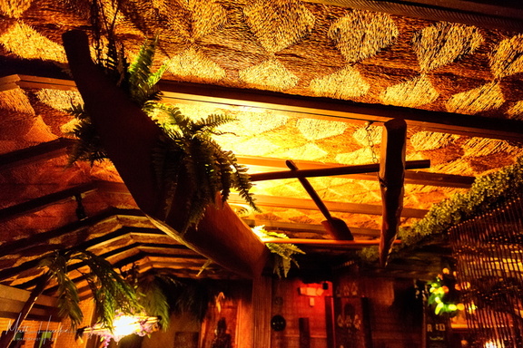 Hala Kahiki
Chicago-area tiki bar, since 1964 -
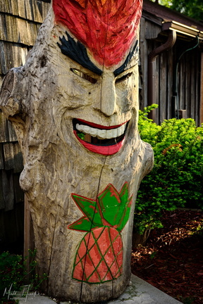 Hala Kahiki
Chicago-area tiki bar, since 1964 -
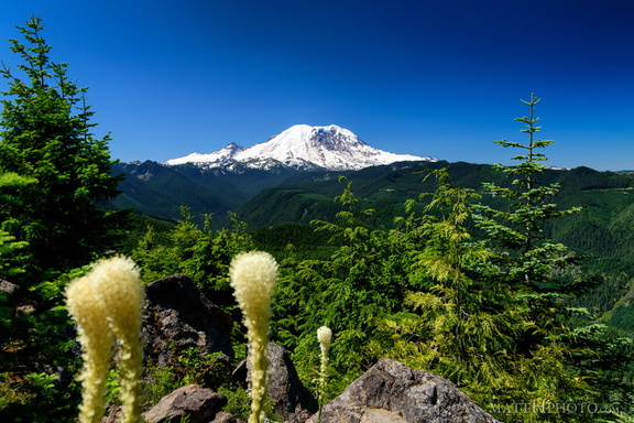 Sun Top Fire Lookout
-
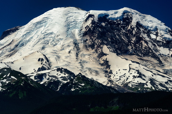 The North Face
From Sun Top Fire Lookout -
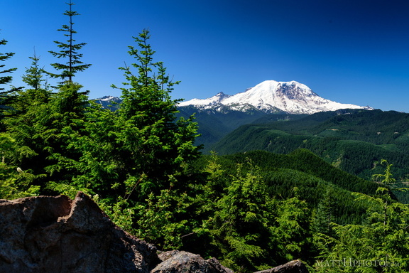 Sun Top Fire Lookout
-
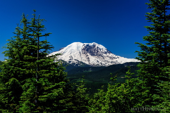 Sun Top Fire Lookout
-
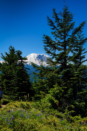 Sun Top Fire Lookout
-
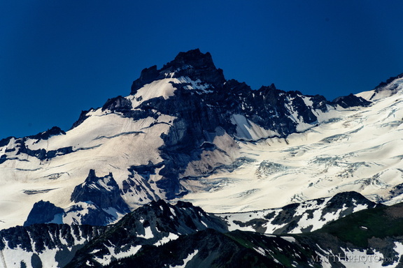 Little Tahoma
From Sun Top Fire Lookout -
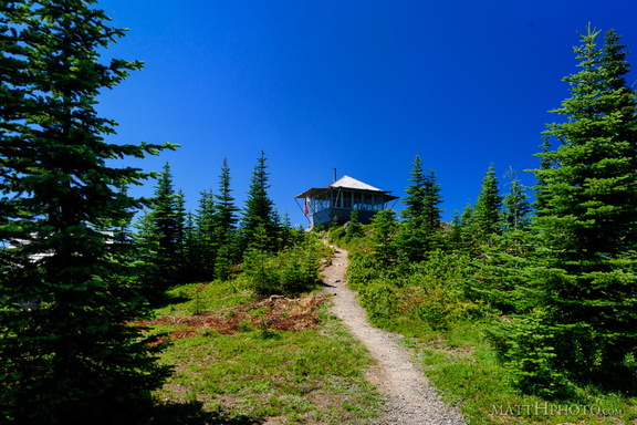 Sun Top Fire Lookout
-
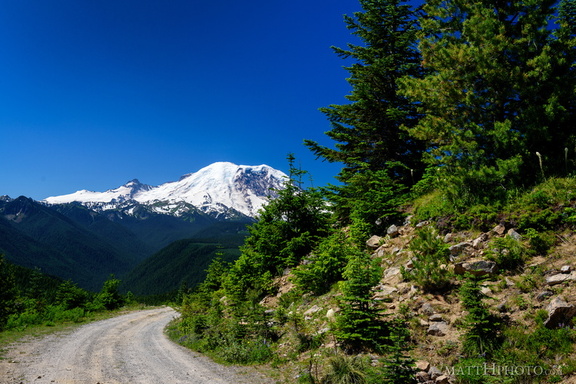 Sun Top Fire Lookout
-
 The North Face
From Sun Top Fire Lookout -
 Sun Top Fire Lookout
-
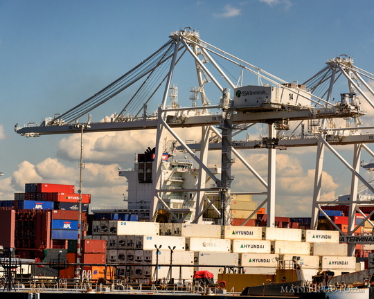 Things that are white
-
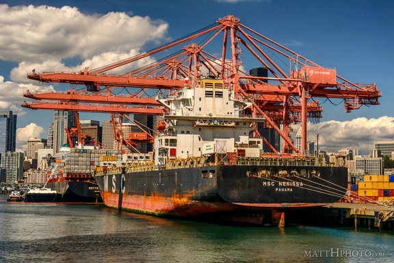 MSC Nerissa in the Port of Seattle
-
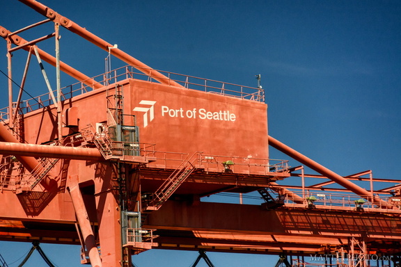 Port of Seattle
-
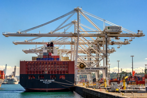 Apl Le Havre, Singapore
-
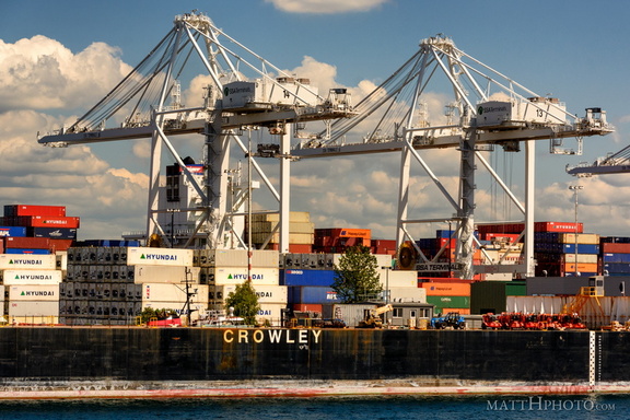 Mister Crowley
-
 Containers
-
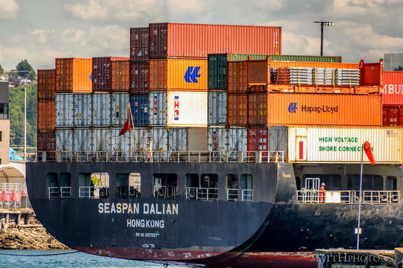 Seaspan Dalian, Hong Kong
-
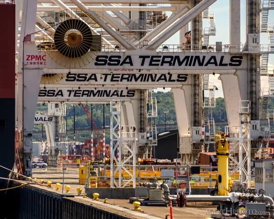 SSA Terminals
-
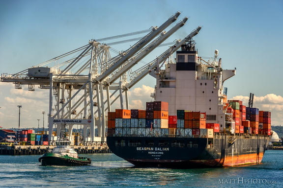 Seaspan Dalian, Port of Seattle
-
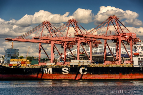 MSC Nerissa in the Port of Seattle
-
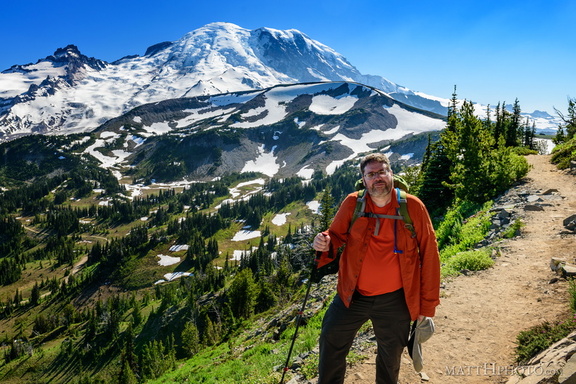 Look at me, I'm on a ridge.
Sourdough Ridge, Frozen Lake Trail, Mount Rainier National Park. -
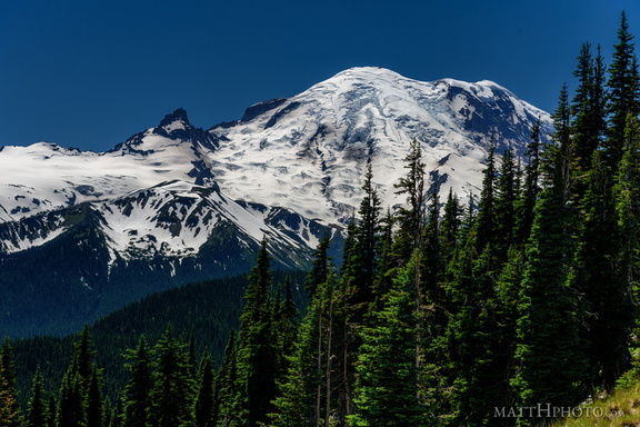 From Sunrise Point, the Mountain
-
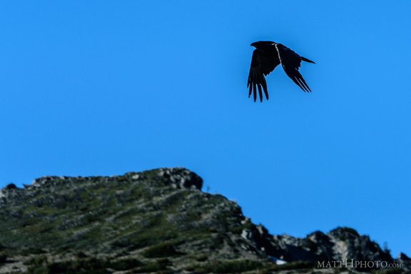 Rainier Raven
It's a corvid. -
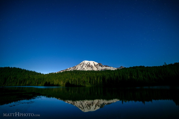 Glaciers in Moonlight
Mount Rainier at Reflection Lake in the light of the full moon -
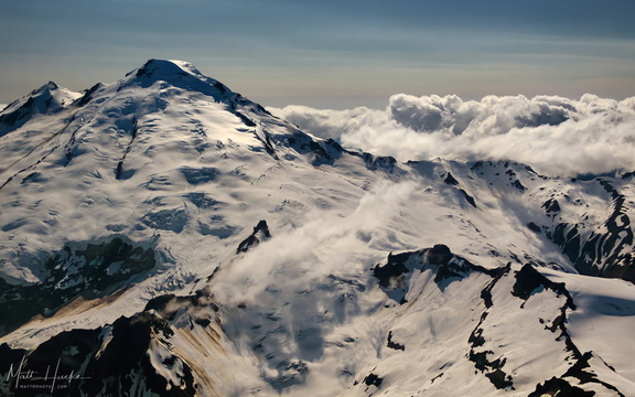 East of Mount Baker
-
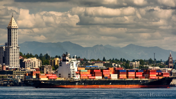 Containers in Seattle
-
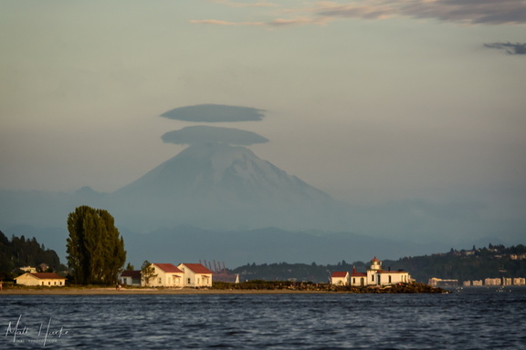 West Point
West Point Lighthouse, Seattle -
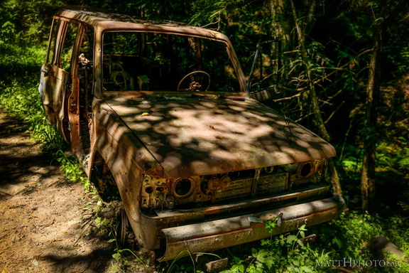 Going Nowhere Solo
-
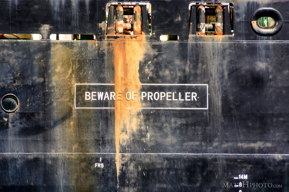 Beware of Propeller. Beware!
-
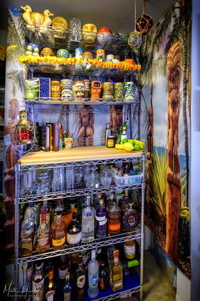 Look to the West
My home Tiki bar. -
 Fryingpan Creek to Banshee Peak
Fryingpan Creek, from the Sunrise Road bridge, with Banshee Peak and Sarvant Glacier in the distance. -
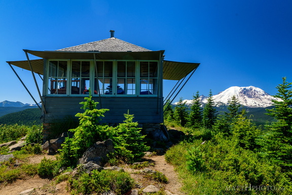 Sun Top Fire Lookout
Built 1934, elevation 1 mile (5280 feet). -
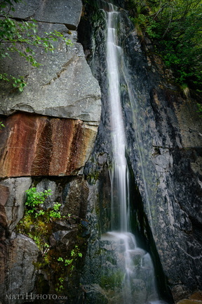 Waterfall by Louise Lake
Tiny waterfall, unknown name, across the road from Louise Lake at Mount Rainier. -
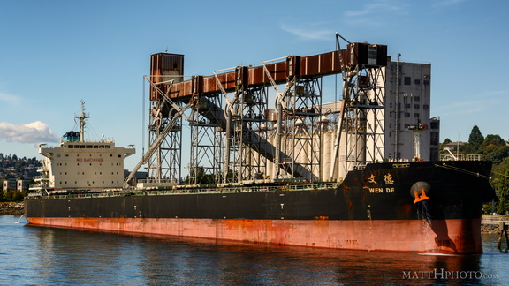 Grain goes to China
-
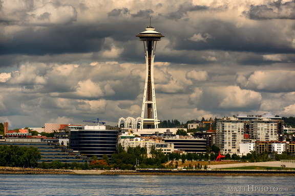 Olympic Sculpture Park
-
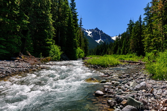 Fryingpan Creek to Banshee Peak
Fryingpan Creek, from the Sunrise Road bridge, with Banshee Peak and Sarvant Glacier in the distance. -
 Shikoku Island visits Seattle
-
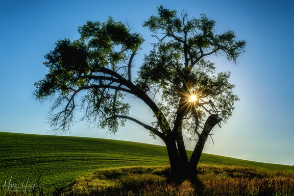 Radiant
Sun on the Palouse -
 Smith Tower, 1914.
(2016 photo, made to look old in post-processing) -
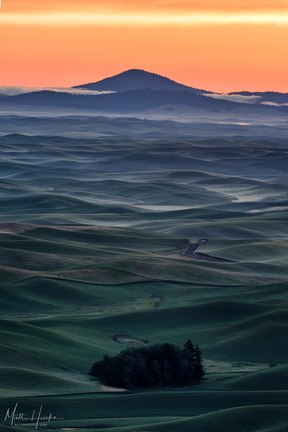 Liberty Butte
as seen from Steptoe Butte.