« Saturday

-
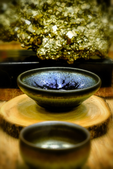 Teacup
Tea set and iron pyrite nugget at the Northwest Tea Festival, owned and arranged by ZuoWangTea -
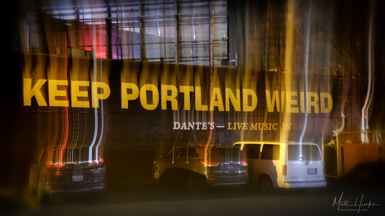 Keep Portland Weird
-
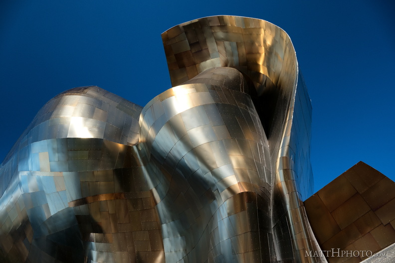 Metallic
Museum of Pop Culture, Seattle -
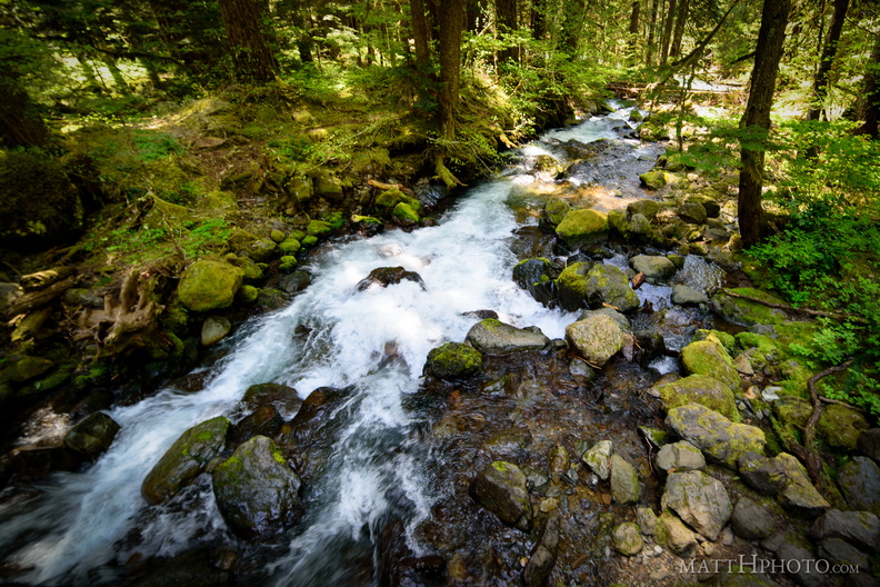 Laughingwater Creek
-
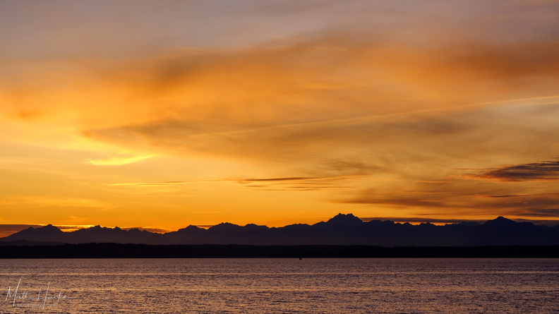 olympics
-
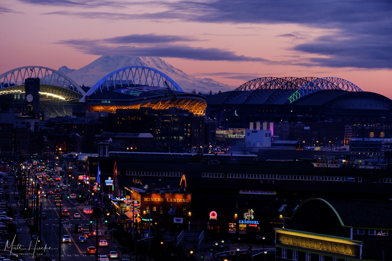 After the Viaduct
Alaskan Way, December 2019, from the Pike Place Market parking garage -
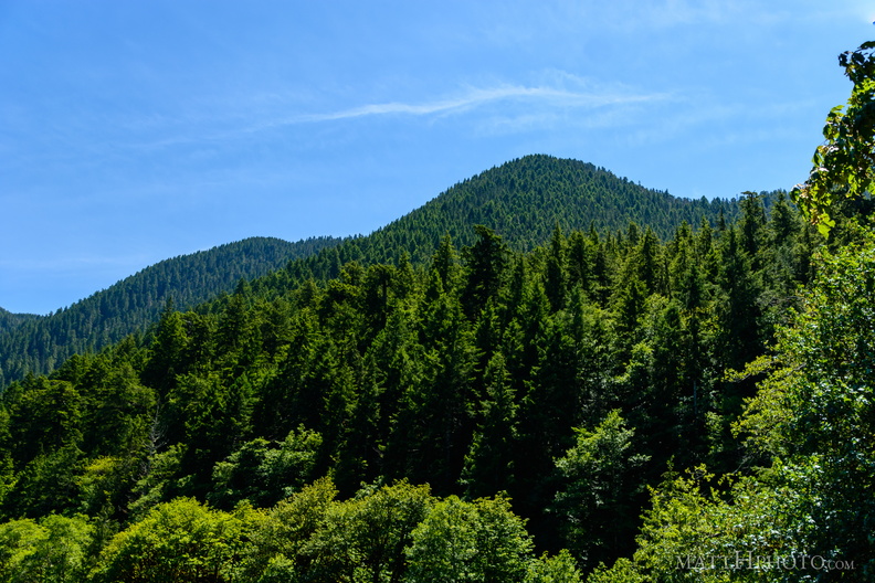 Sourdough Mountain, Lake Crescent
-
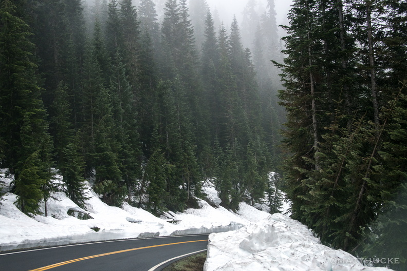 Snow in May? You must be mad!
WA-123, Mount Rainier National park, about 3800 feet. -
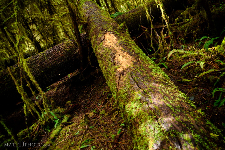 Fallen
-
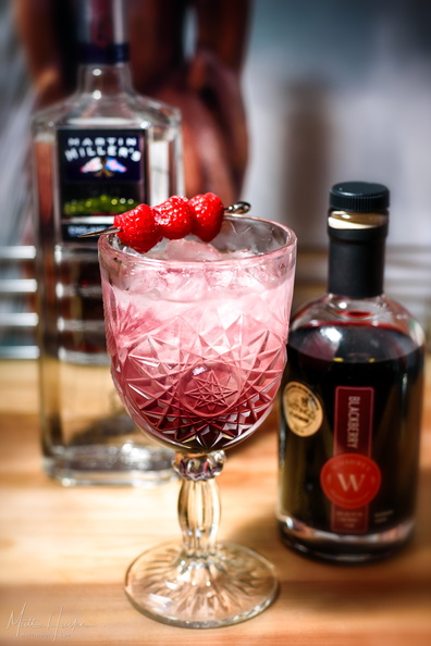 Bramble
Bramble. Dick Bradsell, London, 1984. 2 oz gin, 1 oz lemon juice, 1/2 simple syrup, shaken, poured onto crushed ice. Float 1/2 oz blackberry liqueur. Garnish with fresh berries. -
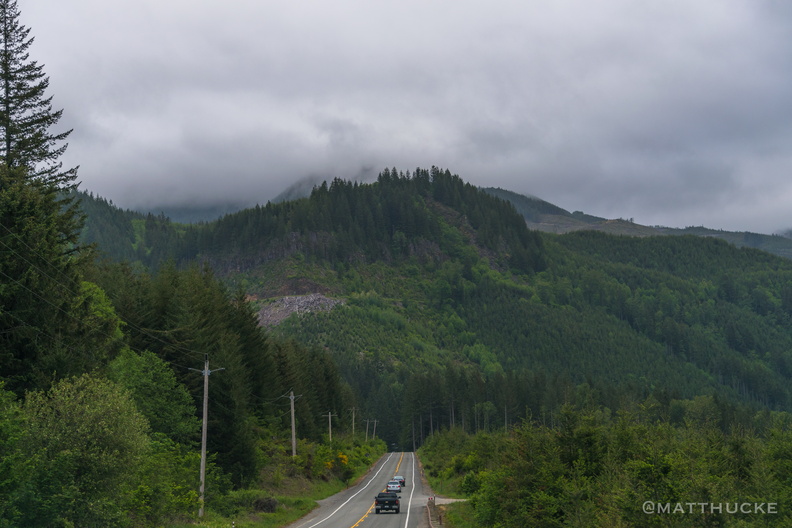 Mountain Caravan
-
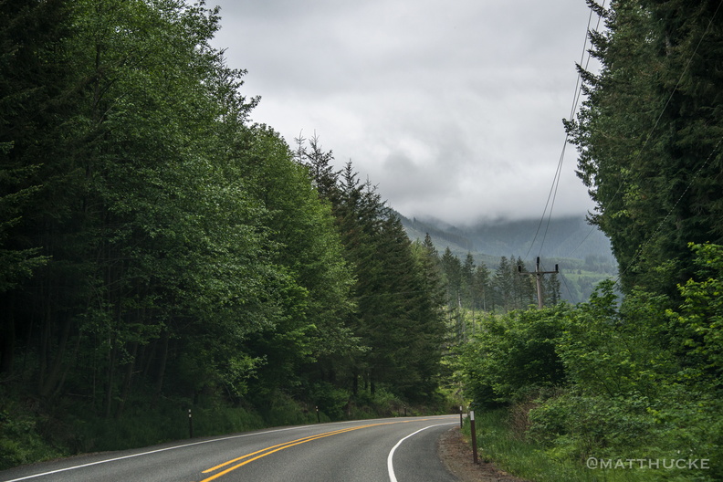 Road to Rainier
-
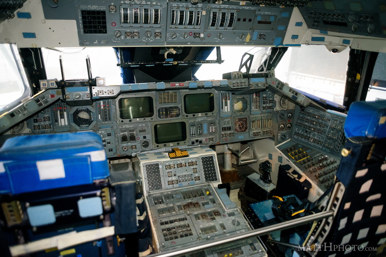 Shuttle Command
Space Shuttle Full Fuselage Trainer cockpit, Museum of Flight, Seattle. -
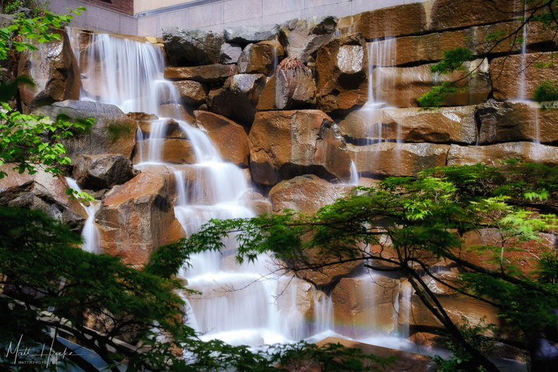 UPS was here (they left a note)
Original headquarters of UPS in Seattle, before they went national - now a city park. -
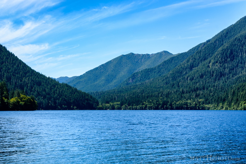 Lake Crescent
Looking west, towards Fairholme. -
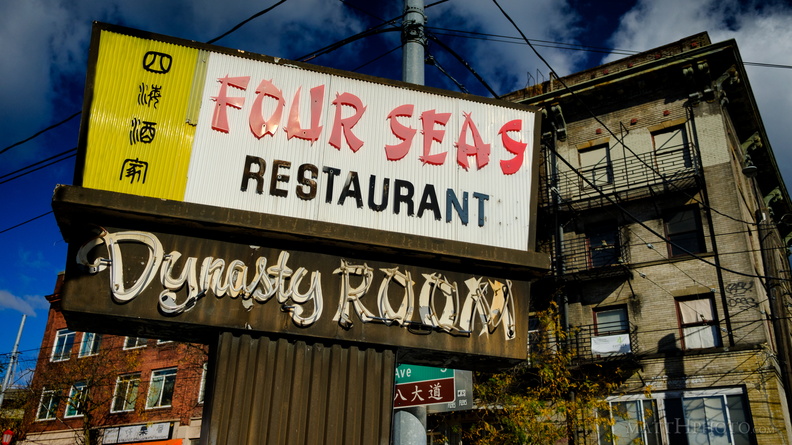 Four Seas Restaurant (1935-2017)
International District (Chinatown), Seattle. The restaurant (behind the photographer) is now permanently closed. -
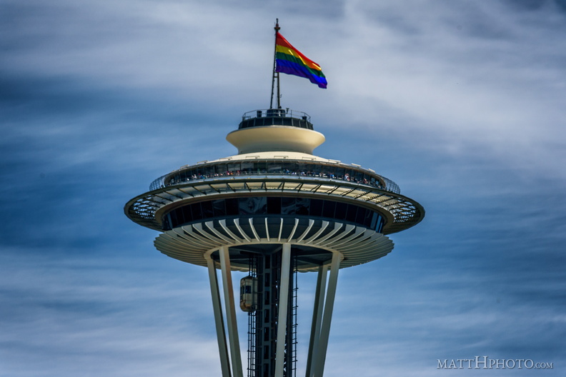 Seattle Pride 2017
-
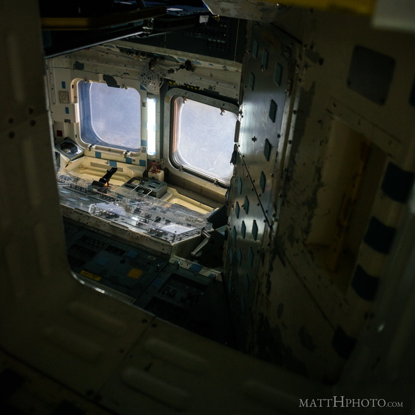 To the upper deck
Ascending a ladder to the space shuttle upper deck -
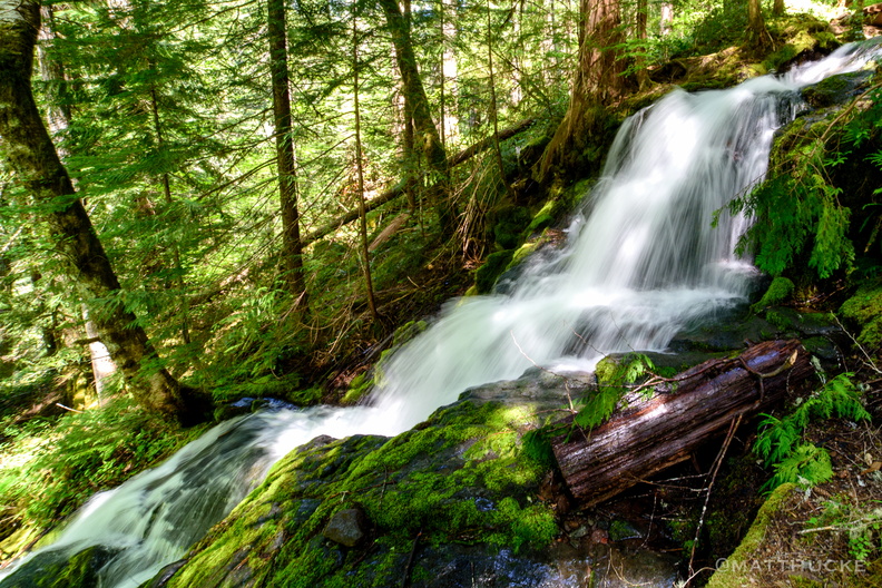 Falling water
Mount Rainier National Park, Ohanapecosh trail -
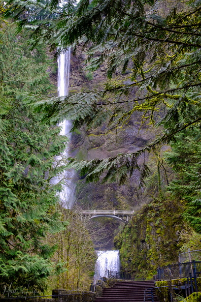 Multnomah Falls
Multnomah Falls, Oregon, while still partially closed to the public due to fire damage. Shot through a chain-link fence. -
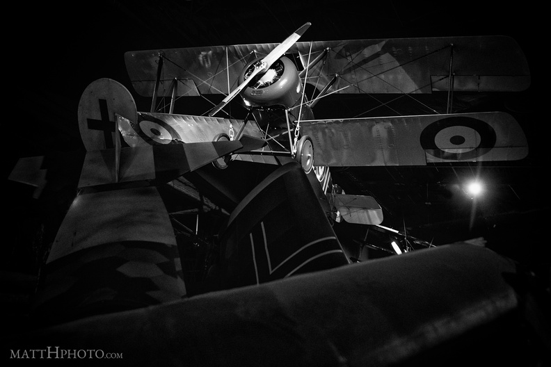 Air Superiority
Sopwith Camel (replica) over a downed German aircraft, Museum of Flight, Seattle -
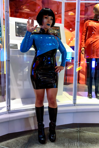 Xesia on the Bridge
Seattle model and actress Xesia (xesia.com) at the EMP Museum, in a latex Starfleet uniform. In the background are panels from the original bridge set, and a uniform worn by Nichelle Nichols as Uhura. -
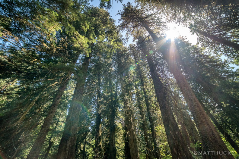 Grove of the Patriarchs Trail
Mount Rainier National Park -
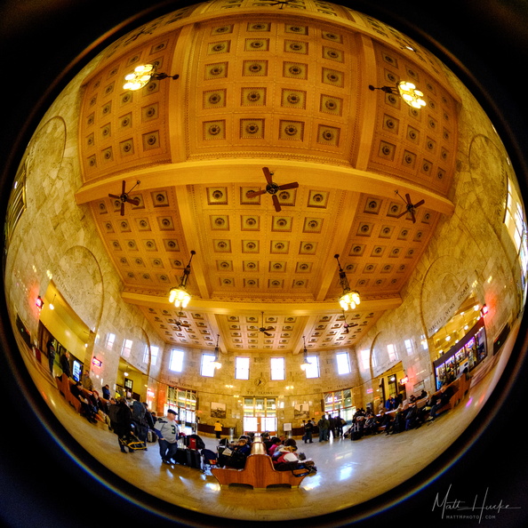 Passengers
Portland Union Station -
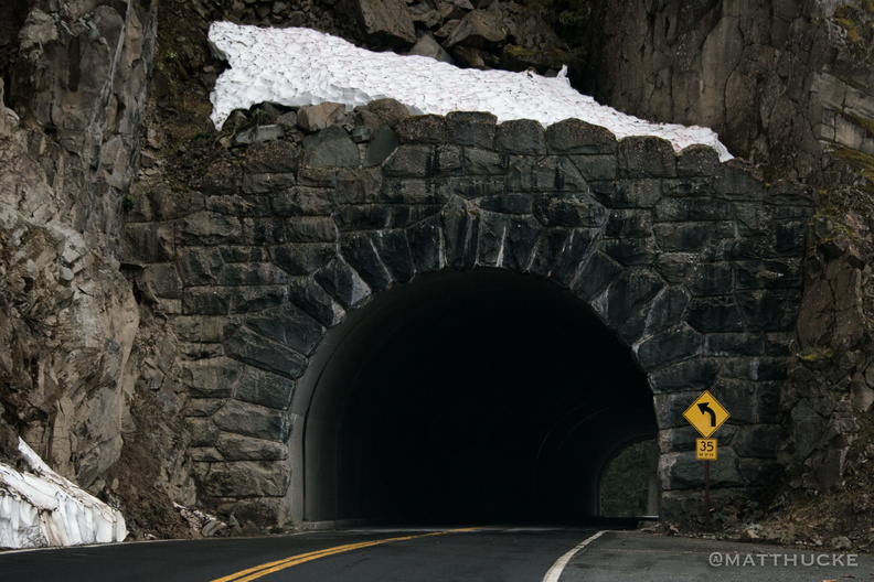 Through the Mountain
Tunnel through Seymour Peak, about 3800 feet, WA-123 near Mount Rainier National Park -
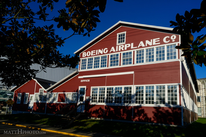 Where Boeing Began
Boeing "Red Barn" aircraft construction shed, built 1916, in use until 1930s. -
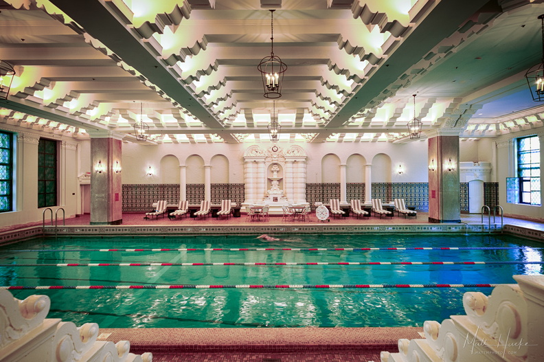 Pool on 14
When the Junior Olympic sized swimming pool at the Medinah Athletic Club in Chicago was completed in 1929, it was a remarkable feat of engineering - on the 14th floor of a skyscraper, it was then highest pool in the world (above ground level). Some call it the "Johnny Weissmuller Pool", as the Olympic gold medalist and Tarzan actor trained here. The building is now the Hotel InterContinental Magnificient Mile, and the pool is part of a fitness center available to hotel guests. It spans the entire width of the south tower. On the far wall is a terra cotta "Fountain of Neptune", surrounded with Spanish majolica tile. Though the fountain is currently dry, the hotel management have been careful to preserve all of the 1920s architectural detail of the space. 3-shot HDR, handheld. -
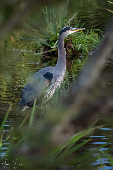 blue birb
-
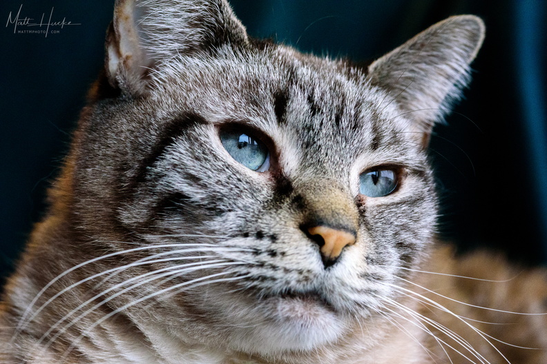 Maude, a Portrait
-
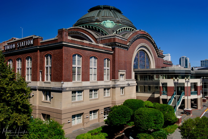 Tacoma Union Station
Built 1909-1911. -
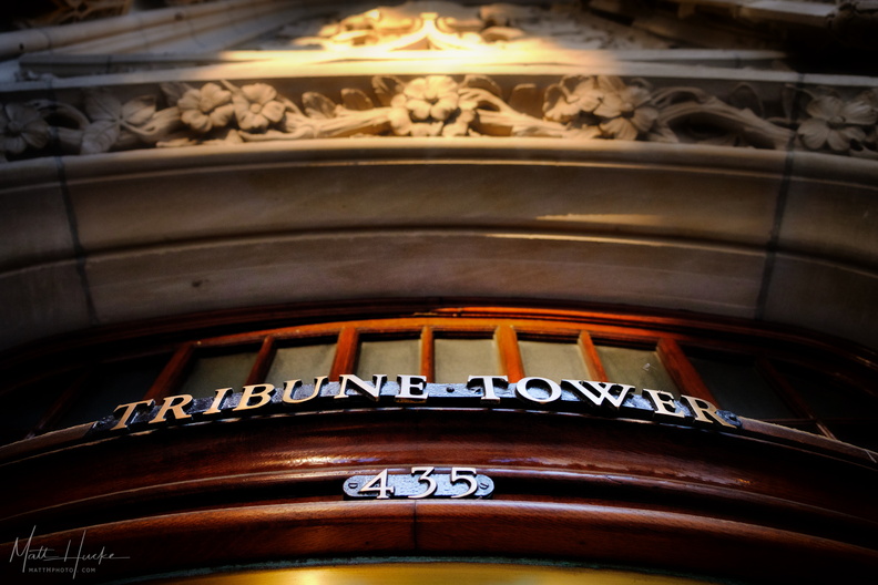 Enter now the Tribune
-
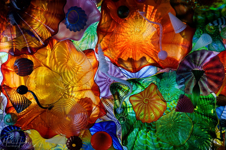 Chihuly Ceiling
-
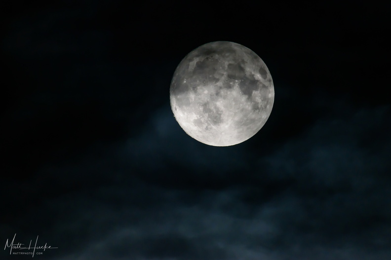 the night
-
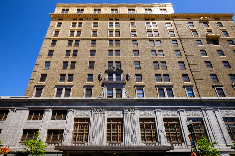 Winthrop Hotel 1925
-
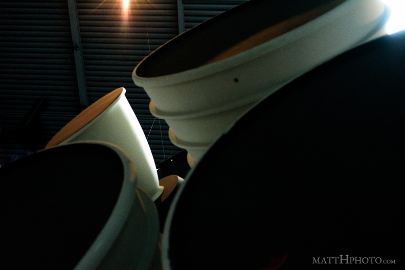 All Power to the Engines
or, "The west end of an eastbound Space Shuttle." Full Fuselage Trainer (a full sized shuttle mock-up used for astronaut training) at the Museum of Flight, Seattle -
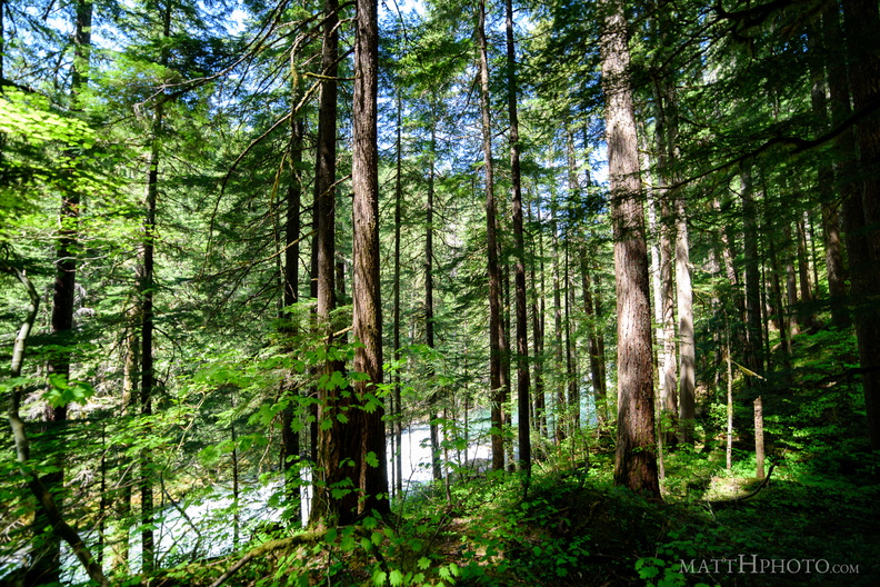 Parallels
Along the Ohanapecosh river, Mount Rainier National Park -
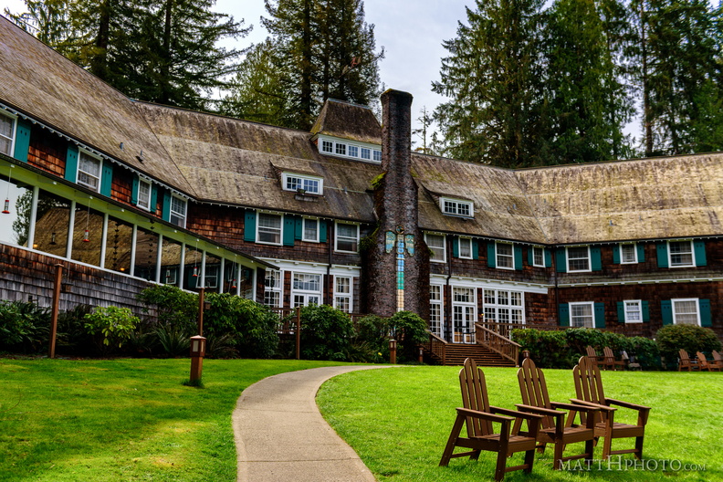 Lodge
Lodge
-
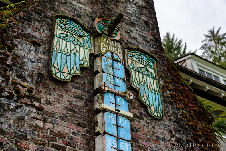 17 feet of rain
Rain guage at Lake Quinault Lodge - marked in feet, not inches -
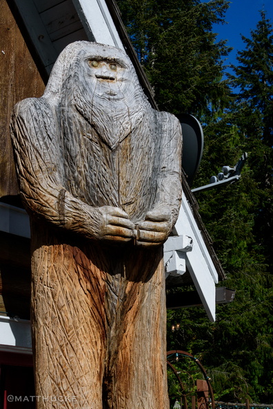 Tavern Sasquatch
Naches Tavern, Enumclaw Washingto -
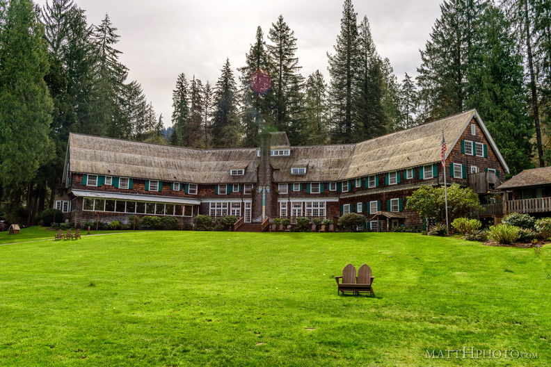 Lake Quinault Lodge
-
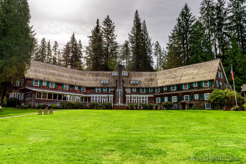 Lake Quinault Lodge
-
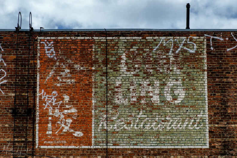 Ghost of Gim Ling
Ghost Sign on the back of the former Gim Ling restaurant, later China Gate, later divided into Bambu and Golden Hong Market. -
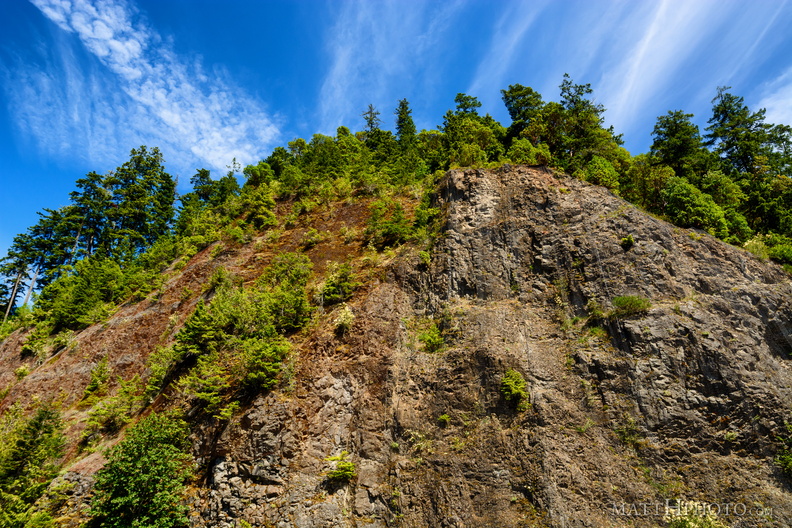 Crumbly Crescent Cliff
Cliff adjacent to Lake Crescent. Netting has been put up to slow erosion. -
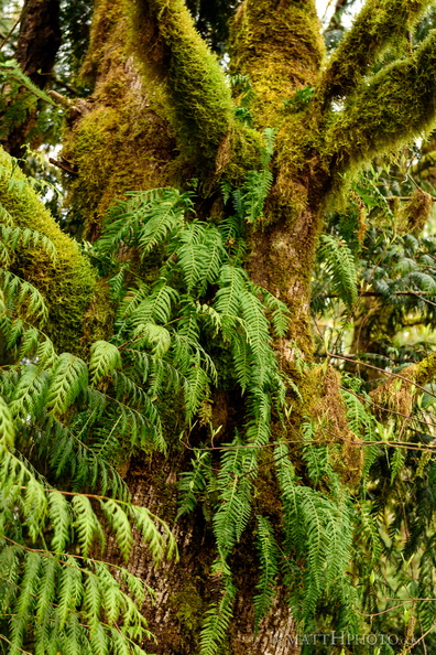 How green is my tree
-
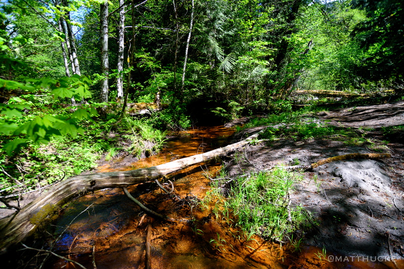 Copper creek
-
 Lake Quinault
As viewed from grounds of Lake Quinault Lodge -
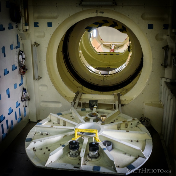 Airlock
Space Shuttle mid-deck airlock, leading to the cargo bay, in the Full Fuselage Trailer -
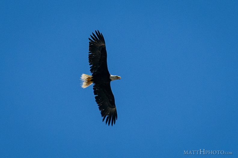 Over Lower Queen Anne
A visitor appeared a few blocks west of the Space Needle, shortly after the gay pride flag was hoisted. Harassed by seagulls, he or she eventually flew off to the south. -
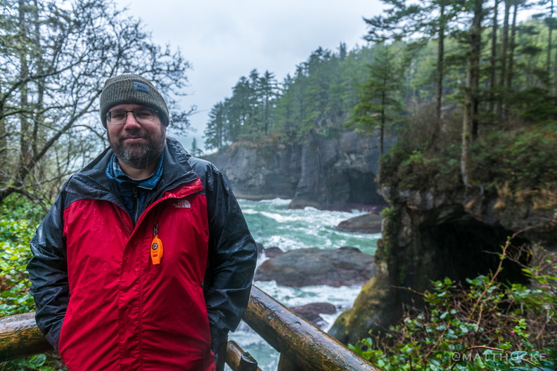 That's Me in the Corner
Population of the contiguous U.S. north and west of me: Zero. Cape Flattery, WA, northwesternmost point of lower 48. -
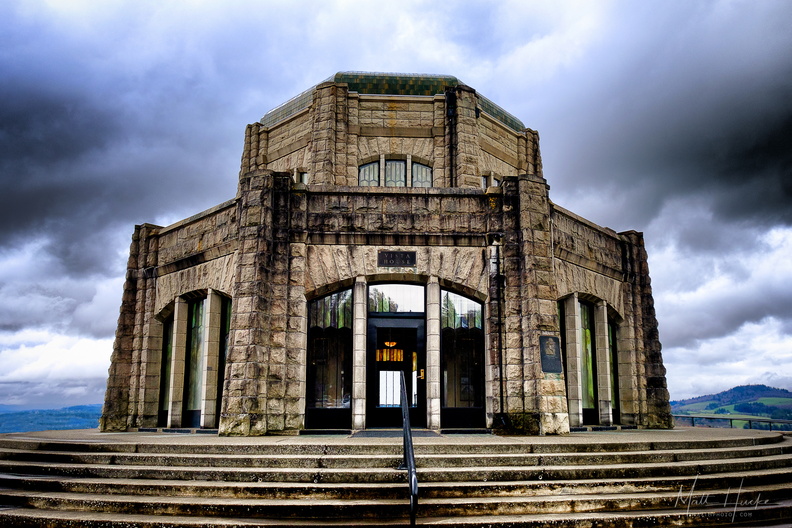 Vista House