
-
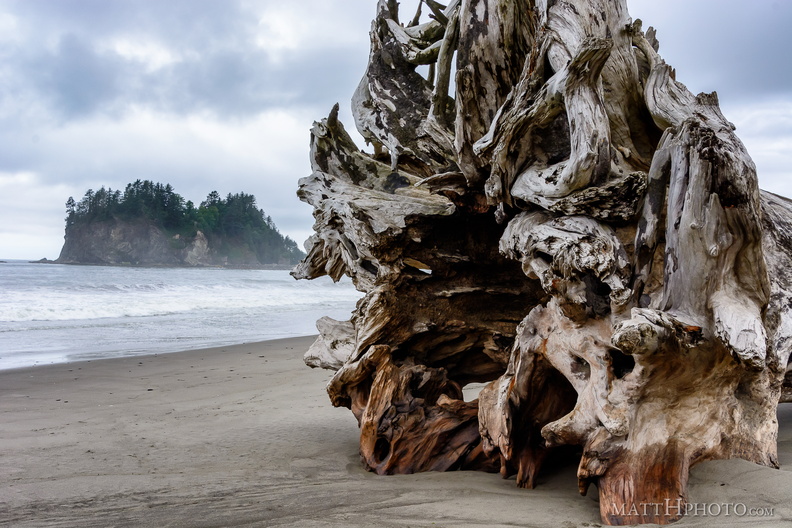 Root and Island
Massive tree washed up at La Push, Washington. -
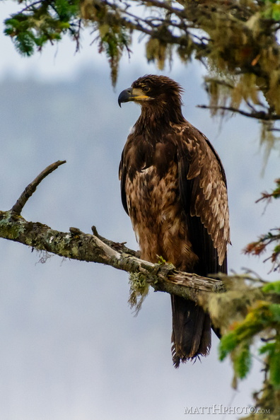 Eagle in Tree
Young bald eagle (about 1-2 years) -
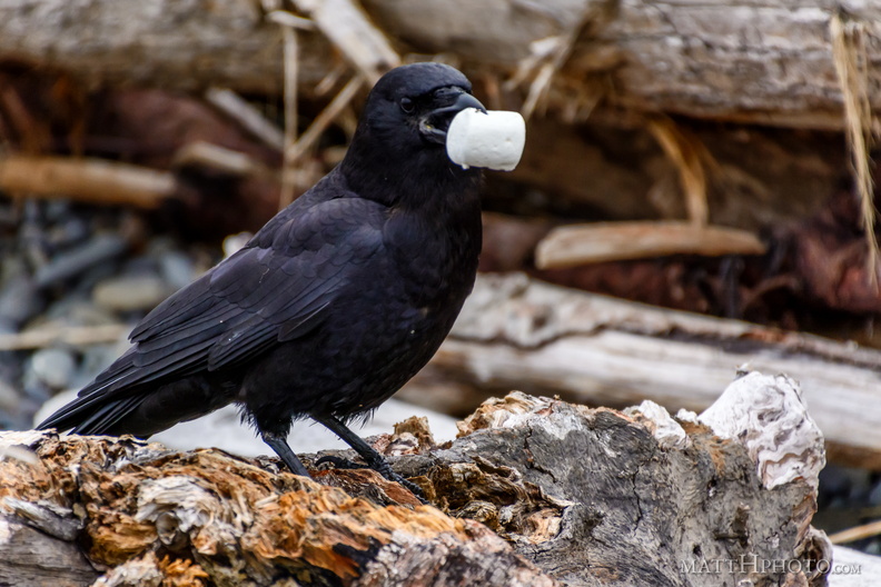 This is MY marshmallow.
Not YOUR marshmallow. MY marshmallow. -
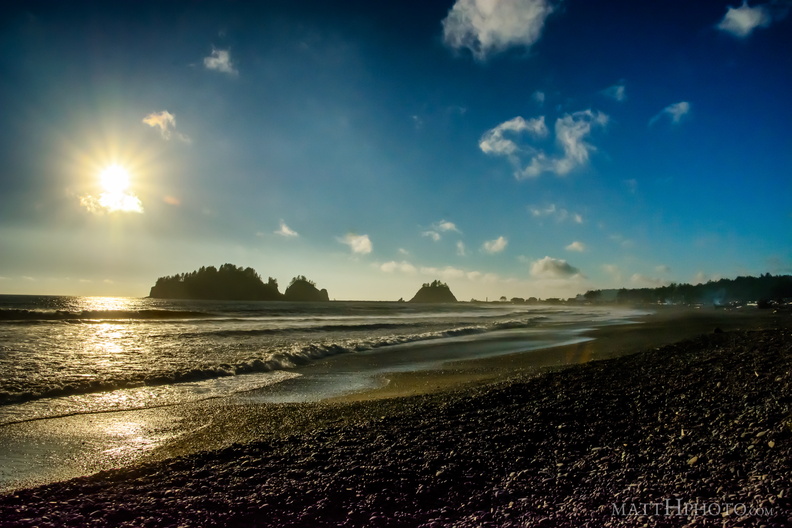 Rocks for my bed
La Push, Washington -
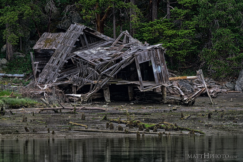 Burned down, fell over, then sank into the swamp
Abandoned house on the beach near La Conner, Washington -
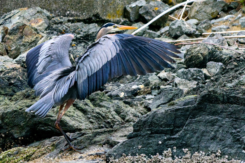 Heron on the Rocks
-
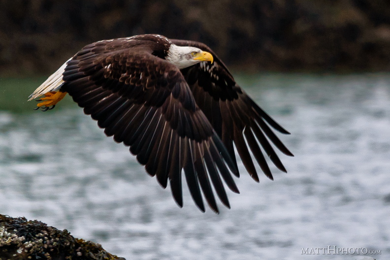 Lord of the Swinomish
-
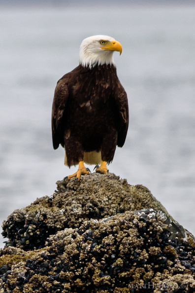 I'm ready for my close-up
-
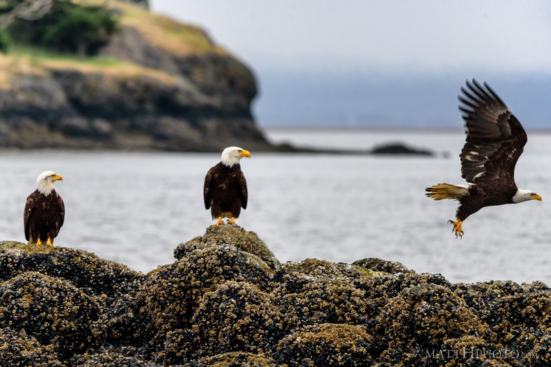 Was it something we said?
-
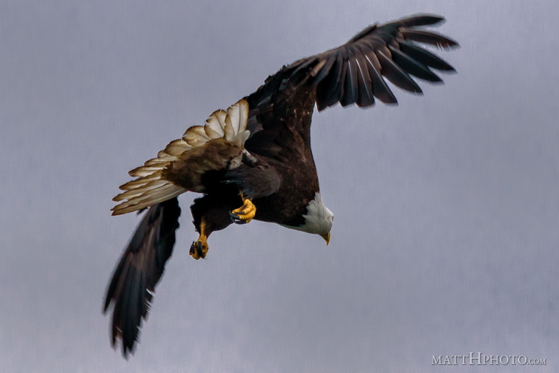 Do the eagles have large talons?
-
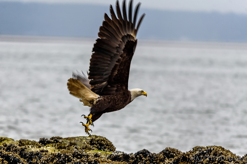 Rocky takeoff
-
 Mount Baldy
Mount Baldy (4775 ft) and the Elwha River, at the Madison Creek Falls trailhead, near Port Angeles WA. (10x 18mm panorama) -
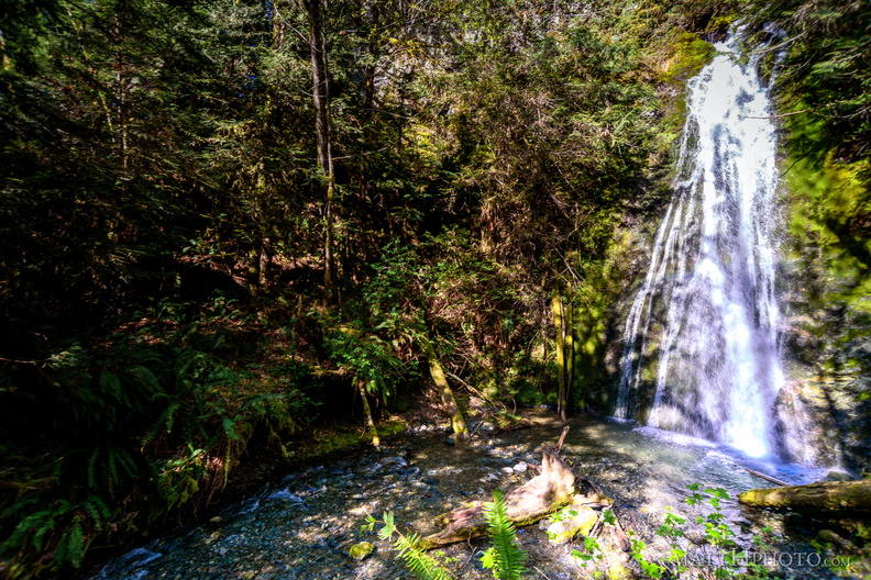 Plunge Pool
Madison Creek Falls, near Port Angeles Washington, Olympic National Park -
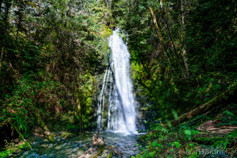 Plunge Pool
Madison Creek Falls, near Port Angeles Washington, Olympic National Park -
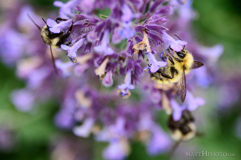 One for all, and all for one
-
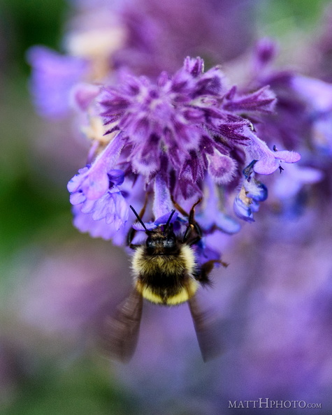 Lavender B
-
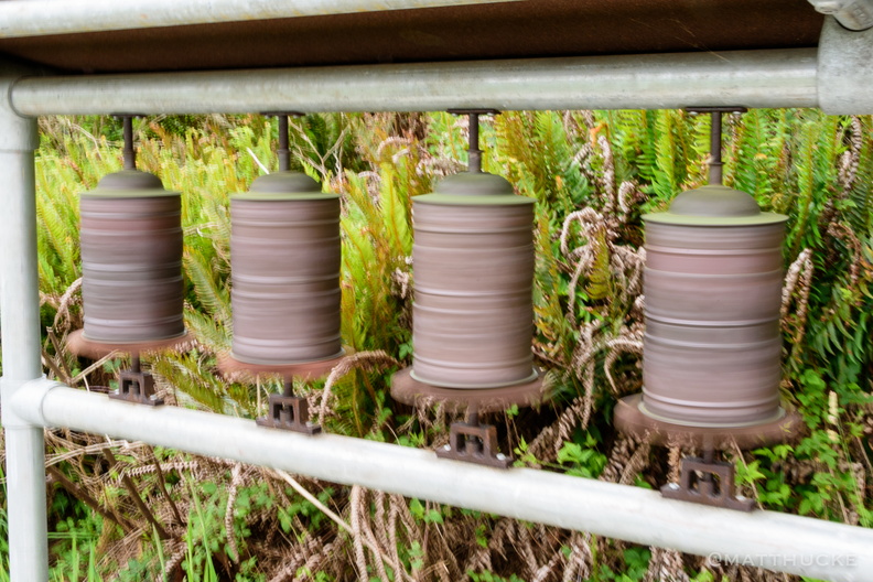 Spinning wheels
Prayer wheels in motion at earthsanctuary.org -
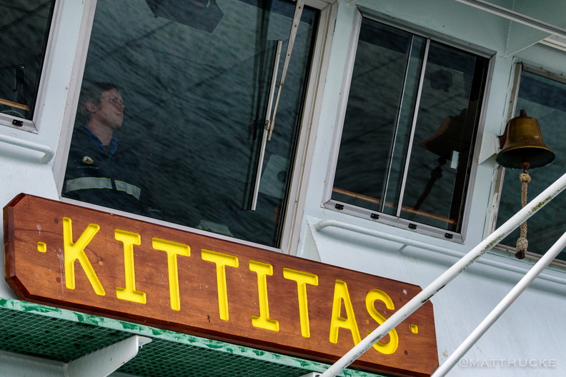 Eyes on the Water
-
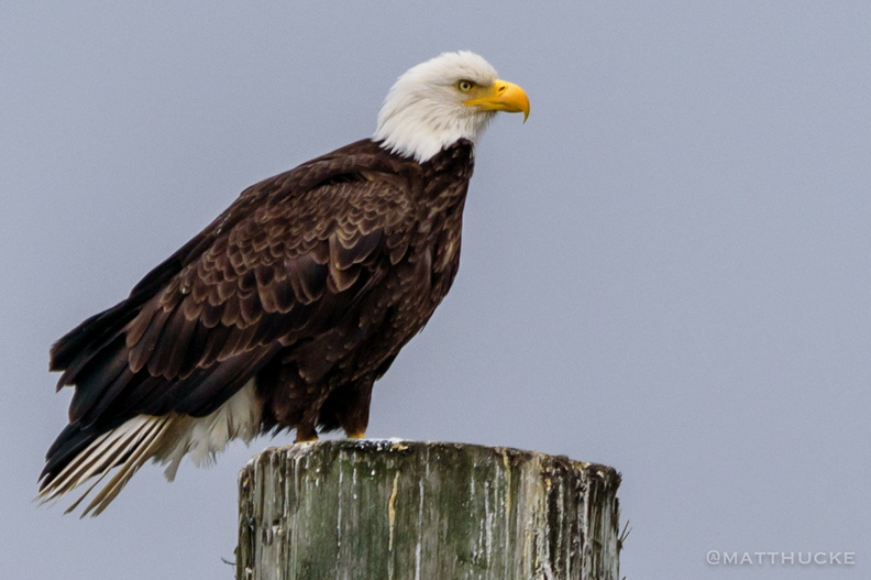 just standing on a post, watching the boats
-
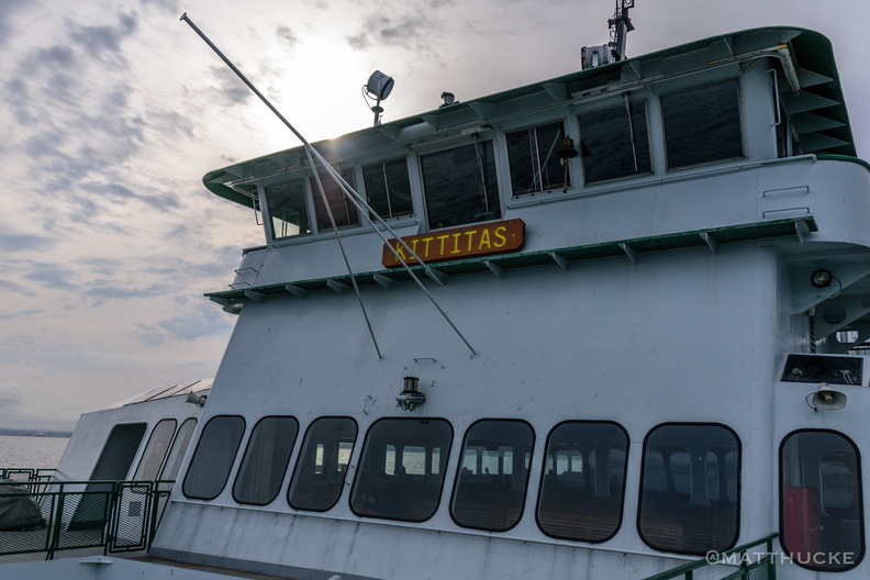 M/V Kittitas
WSDOT Ferry, on the Mukilteo-Whidbey Island run -
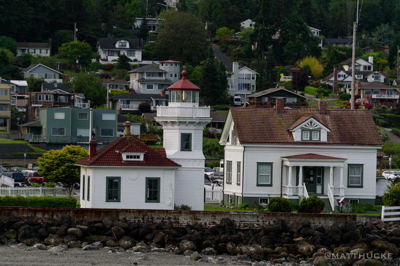 Mukilteo Lighthouse
As seen from a departing ferry. -
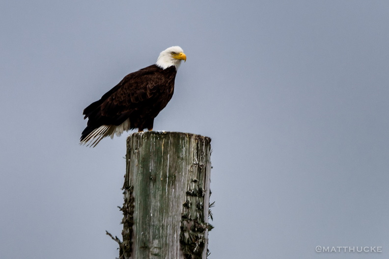 Eagle on post
-
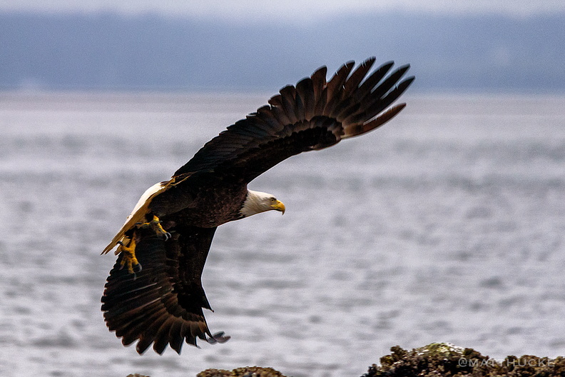 Flight
-
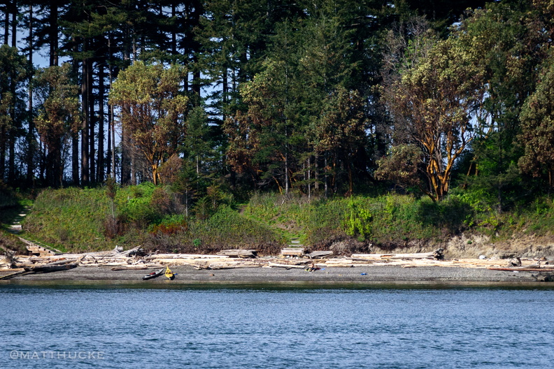 Visitors on Saddlebag Island
Saddlebag Island, Near Anacortes, WA -
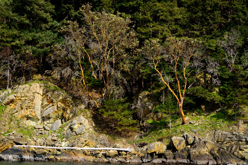 Madrones
Hat Island, Near Anacortes, WA -
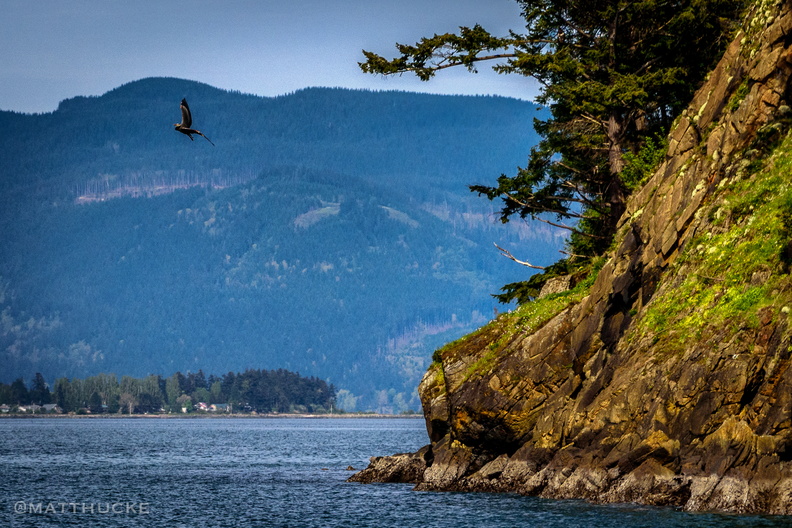 Island Corner
Hat Island, Near Anacortes, WA -
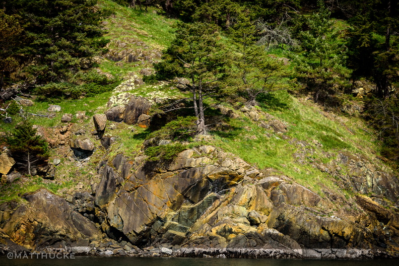 Tree on the point
Hat Island, Near Anacortes, WA -
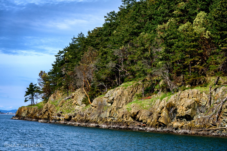 Hat Island, Skagit County WA
-
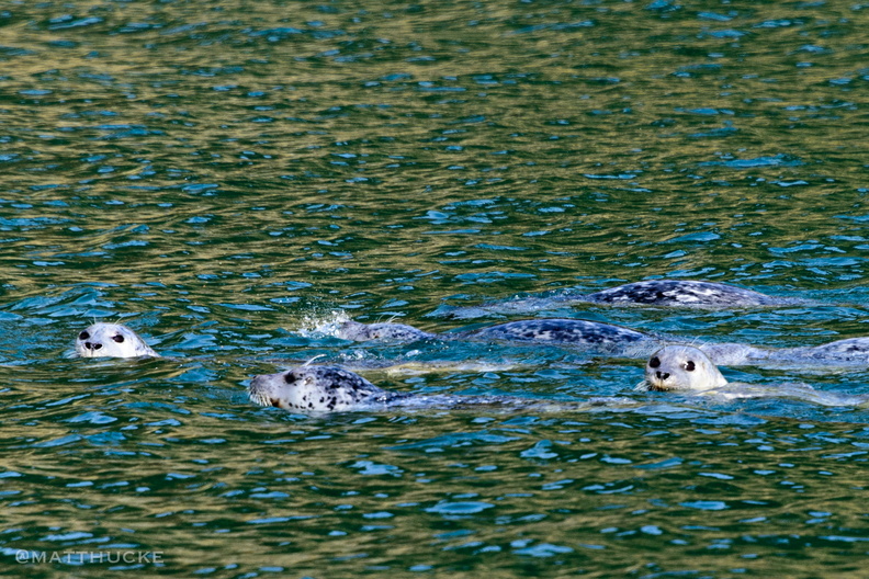 Are you looking at me?
-
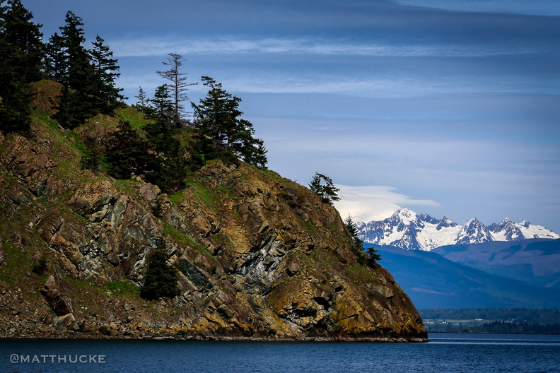 Hat Island
Near Anacortes, Washington, at the north end of the Swinomish Channel. Mount Baker is in the background. -
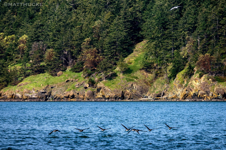 Hat Island Approach
Near Anacortes, Washington -
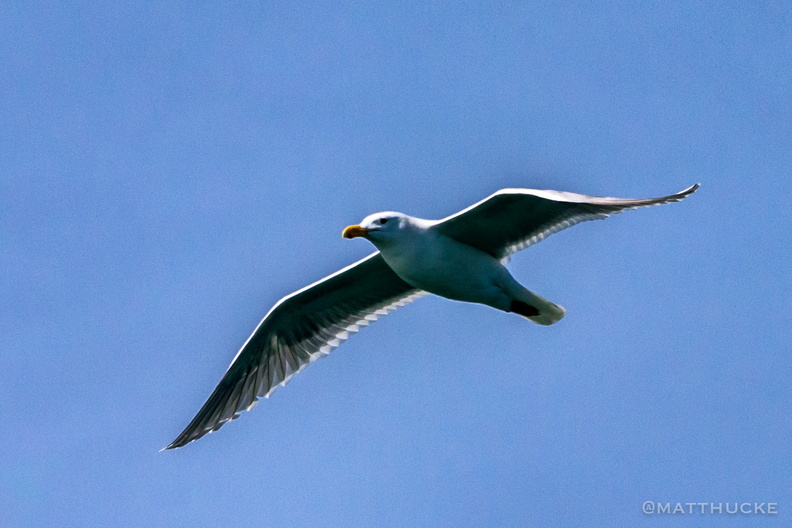 Sir William
-
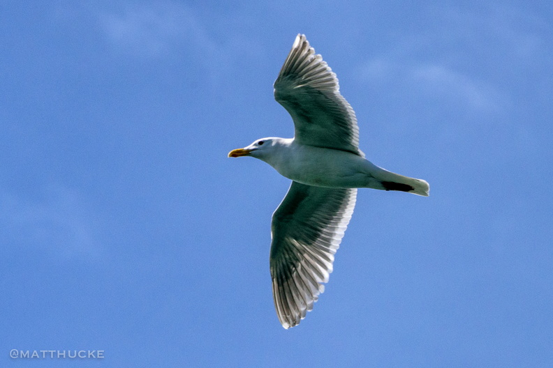 Sir William
-
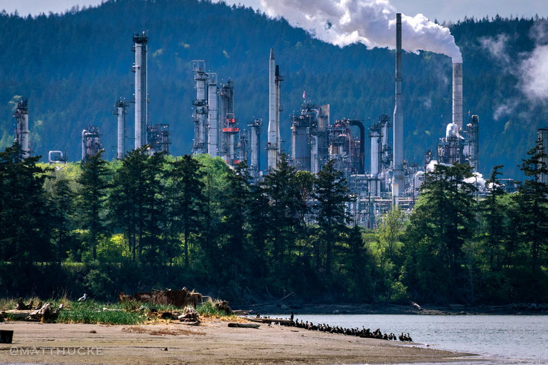 Refinery refuge
Anacortes refinery -
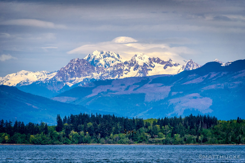 Baker Above Us
Mount Baker from Padilla Bay -
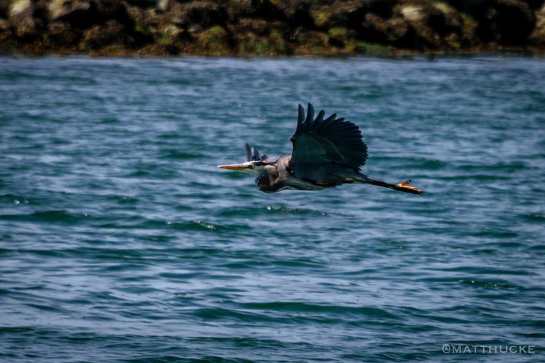 Blue Heron
Swinomish Channel, La Conner Washington -
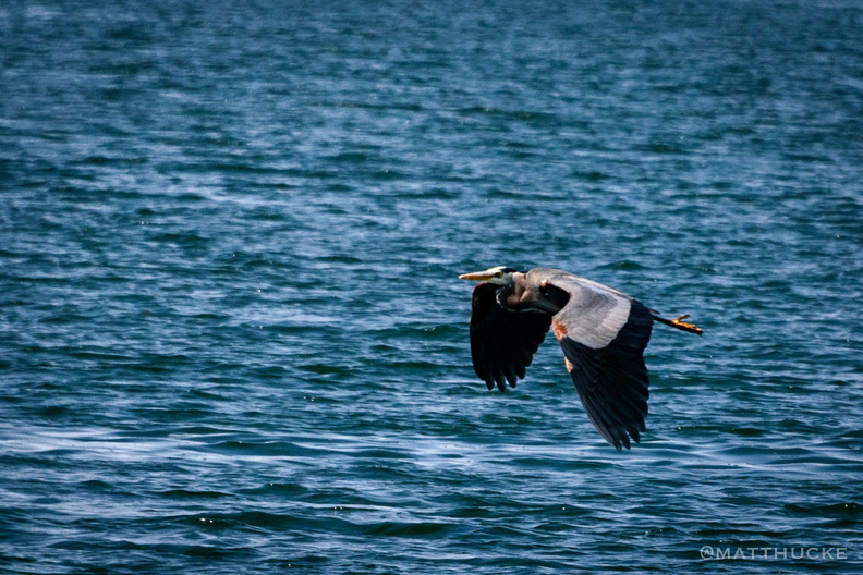 Blue Heron
Swinomish Channel, La Conner Washingto -
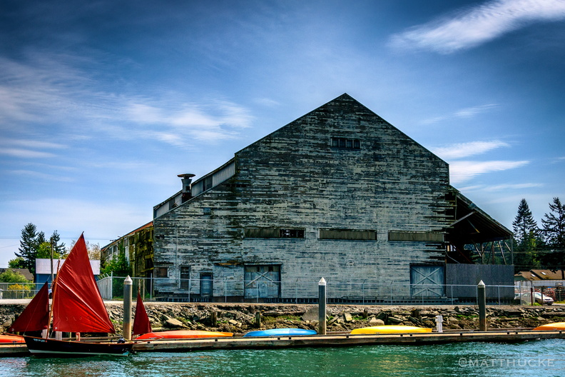 Boat before warehouse
Albers Brothers Warehouse (1908) in La Conner, Wa, now abandoned. -
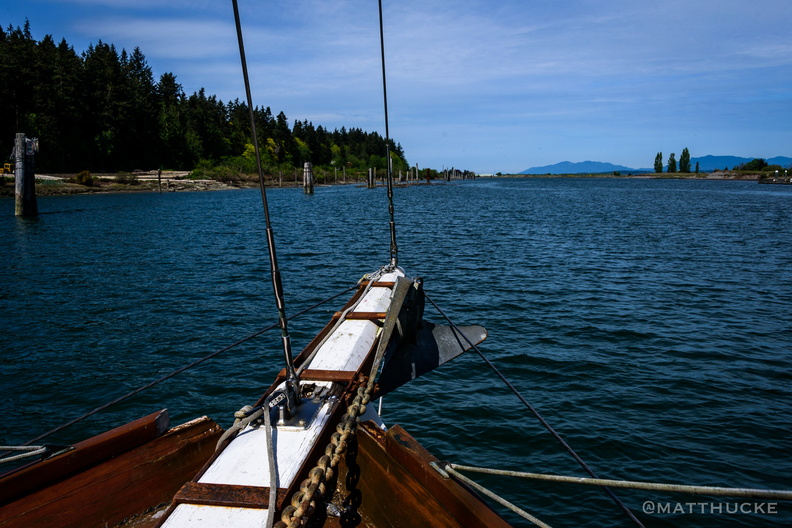 Towards open waters
-
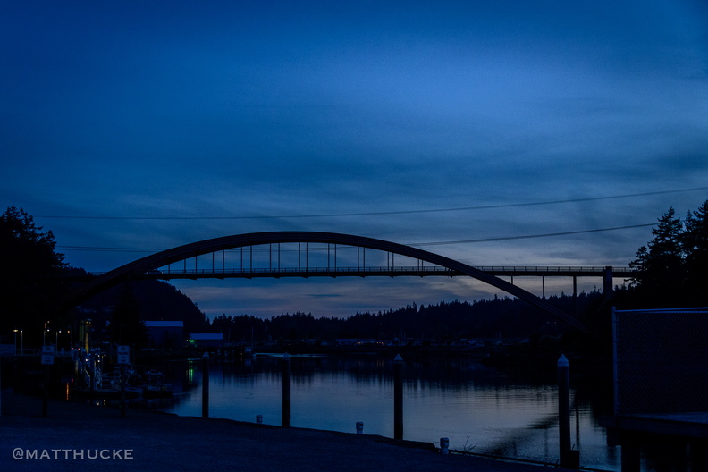 Rainbow Bridge after dark
-
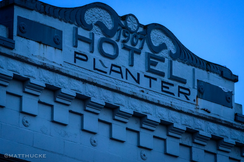 Hotel Planter, La Conner 1907
-
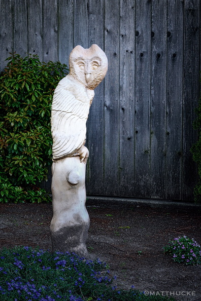 Wood owl
At Nell Thorn restaurant, La Conner Wa -
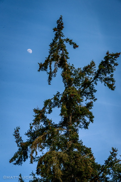 Tree and Moon
That's all, just a tree and a moon, just like it says in the title. I think it's a fir or a hemlock or something like that. It has big cones that you can see if you zoom in a bit. -
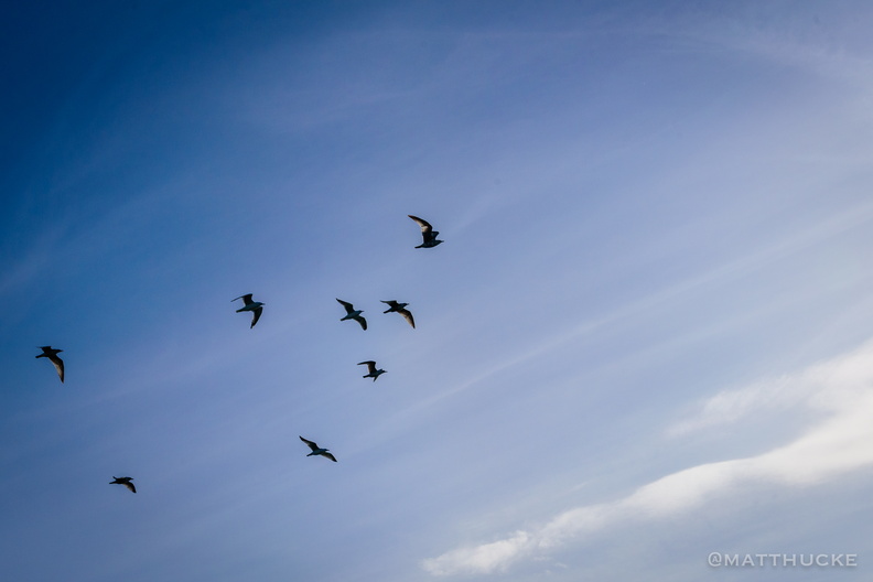 Under seagulls
-
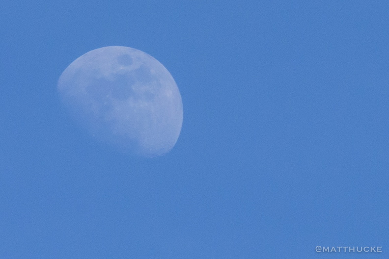 Blue sky moon
-
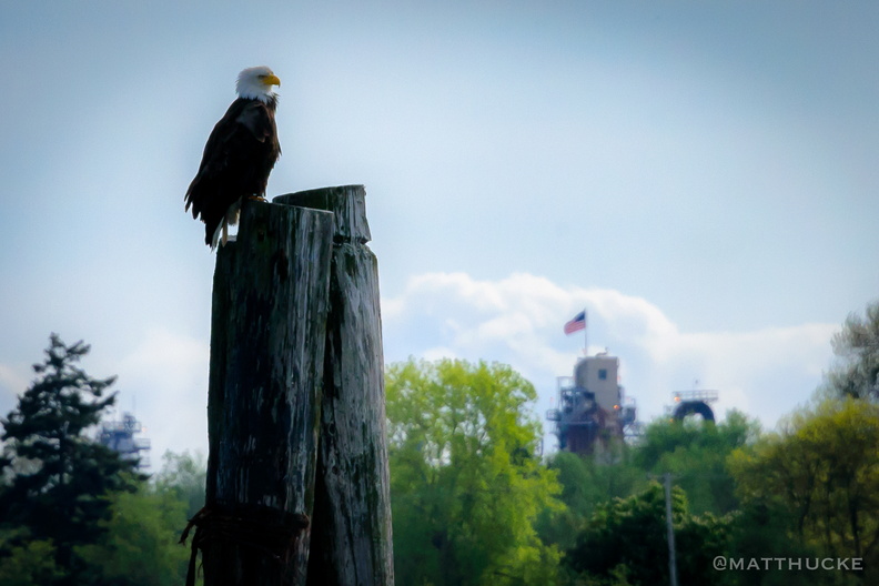 Get off my lawn!
-
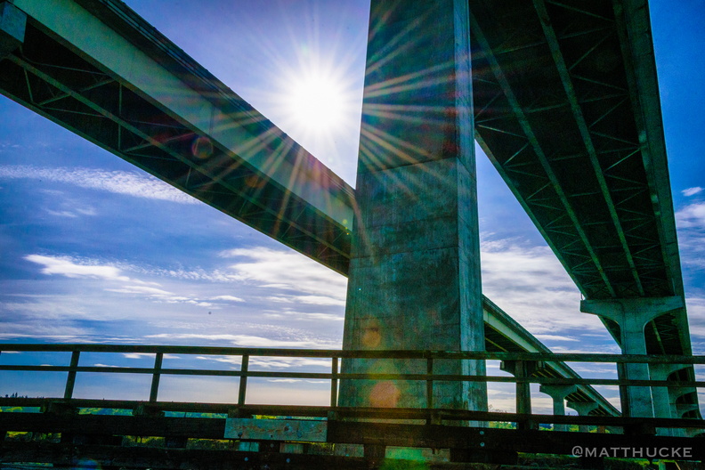 Over Swinomish Channel
Twin bridges of State Route 20 over Swinomish Channel, north of La Conner -
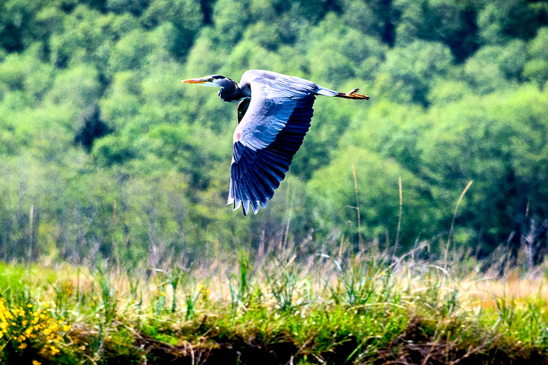 Am I Blue?
Blue Heron, La Conner WA -
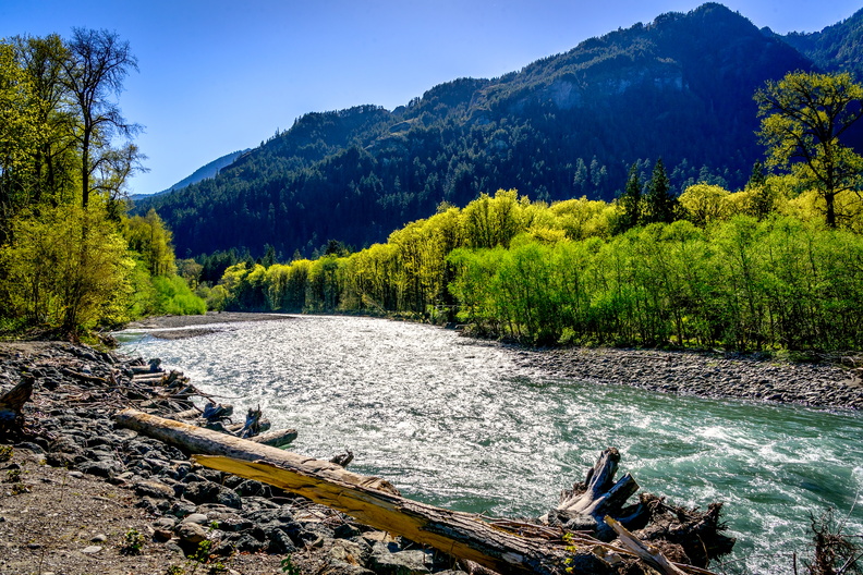 Elwha River
At the Madison Falls trialhead -
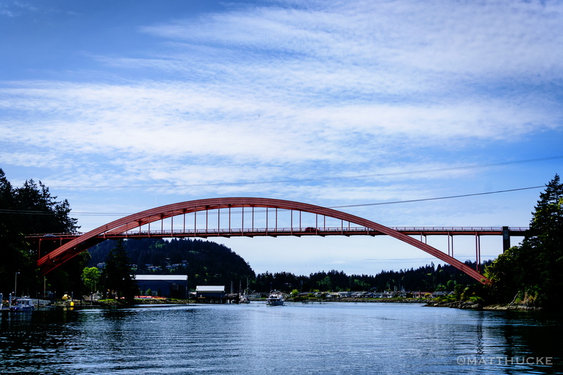 Rainbow Bridge
At La Conner, Washington