
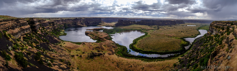
 Dry Falls (Panorama)
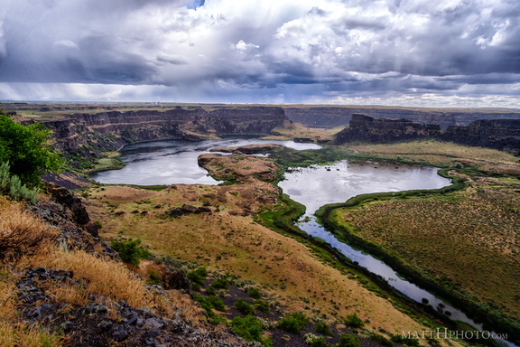 Dry Falls in rain
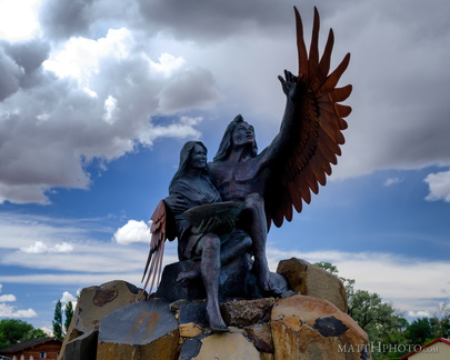 Calling the Healing Waters (Soap Lake)
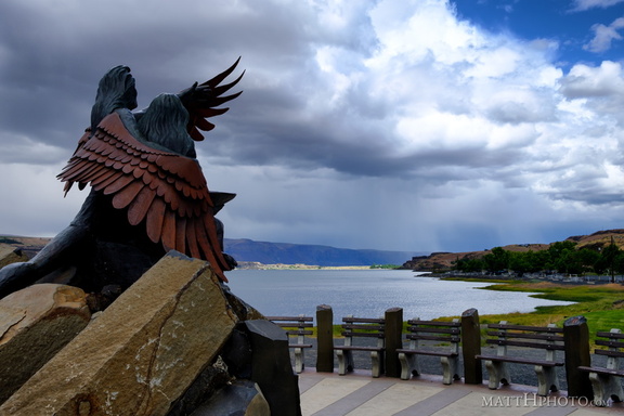 Calling the Healing Waters (Soap Lake)
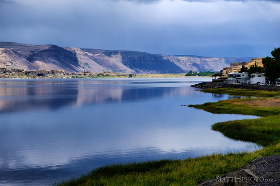 Soap Lake
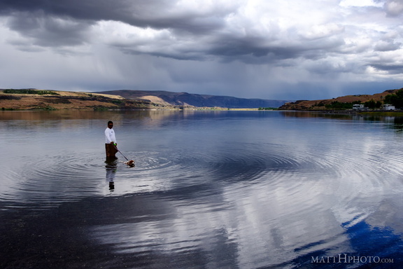 Soap Lake
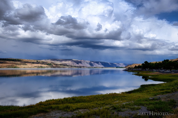 Soap Lake
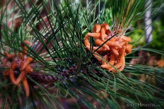 Pine
Pine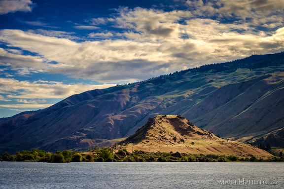 Turtle Rock Island
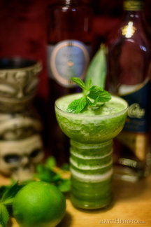 Missionary's Downfall
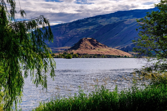 Turtle Rock Island
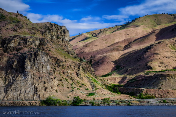 Lincoln Rock and Swakane Canyon
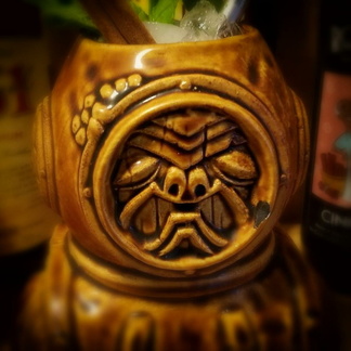 Aqua Tiki
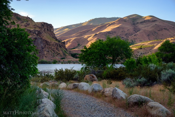 Lincoln Rock State Park
 Lincoln Rock State Park
 Lincoln Rock State Park
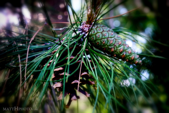 New Cone and Old
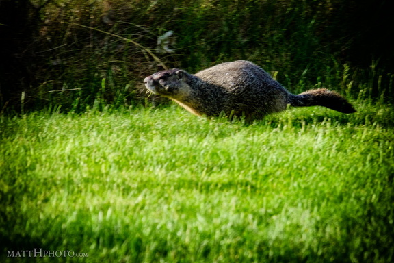 Marmot
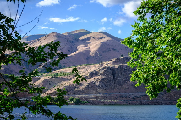 Lincoln Rock State Park
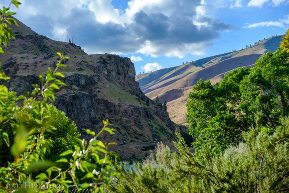 Lincoln Rock State Park
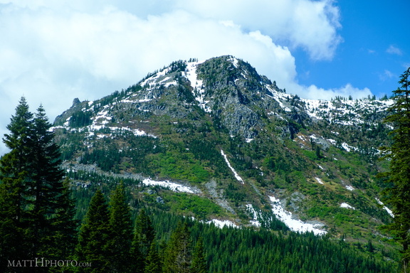 Stevens Pass
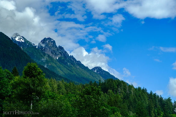 Stevens Pass
 Lights Out for Chris
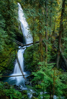 Murhut Falls 2017
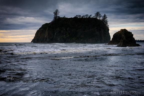 Ruby Beach
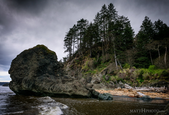 Ruby Beach
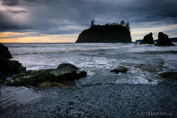 Ruby Beach
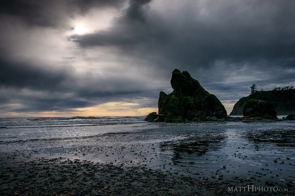 Ruby Beach
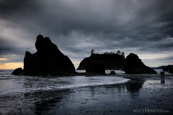 Ruby Beach
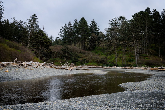 Ruby Beach
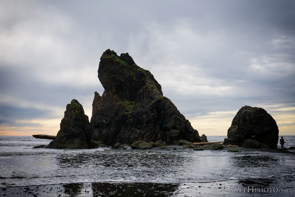 Ruby Beach
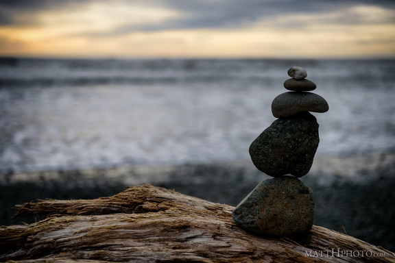 Ruby Beach
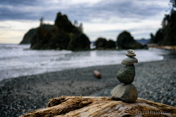 Ruby Beach
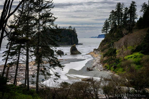 Ruby Beach
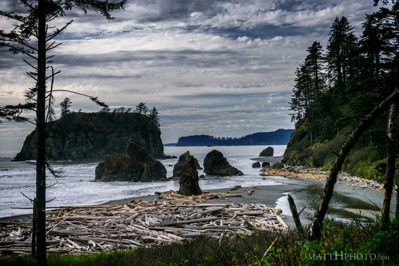 Ruby Beach
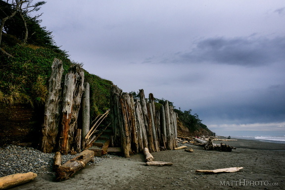 Kalaloch Beach, Olympic National Park
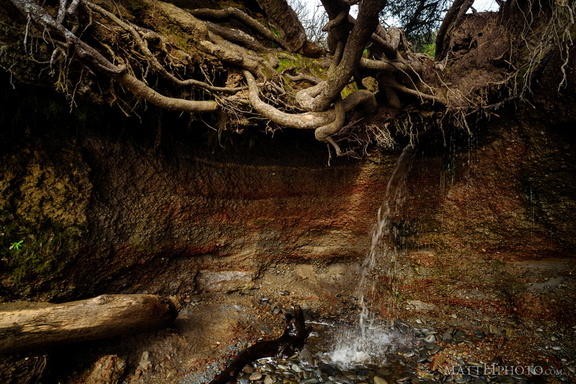 Kalaloch Tree Cave
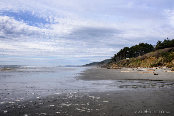 Kalaloch Beach, Olympic National Park
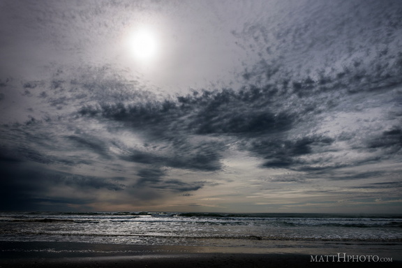 Kalaloch Beach, Olympic National Park
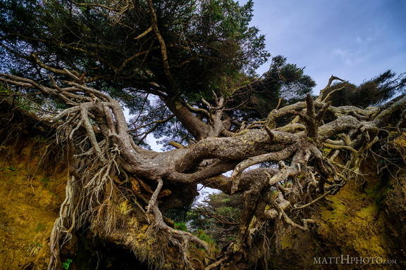 Kalaloch Tree Cave
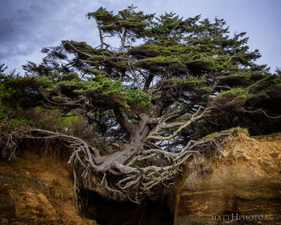 Kalaloch Tree of Life
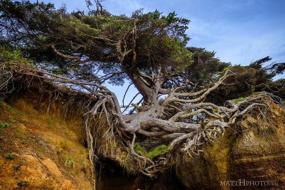 Kalaloch Tree of Life
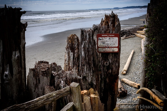 Beach Logs Kill
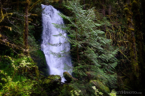 Merriman Falls
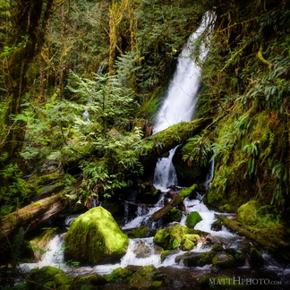 Merriman Falls
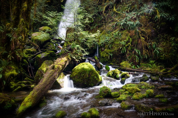 Merriman Falls
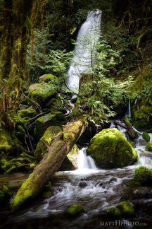 Merriman Falls
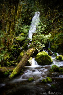 Merriman Falls
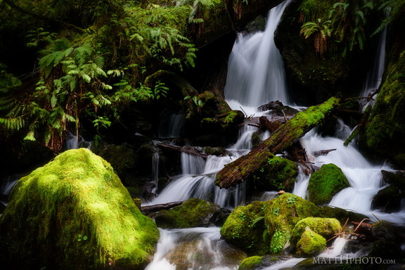 Merriman Falls
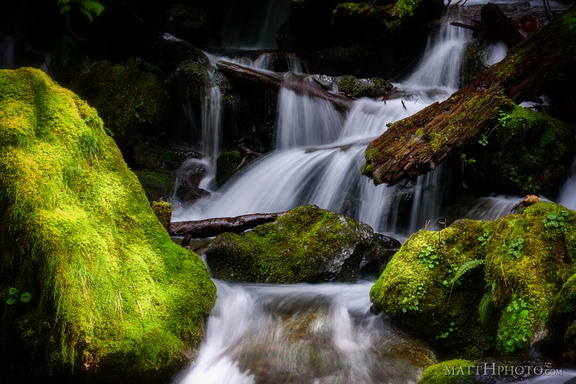 Merriman Falls