Home / Keyword mount rainier 76

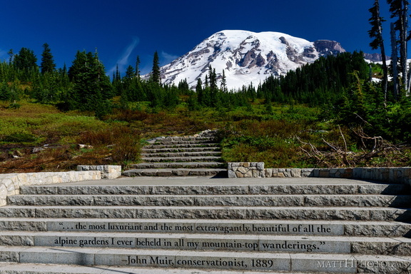 ...of all the alpine gardens
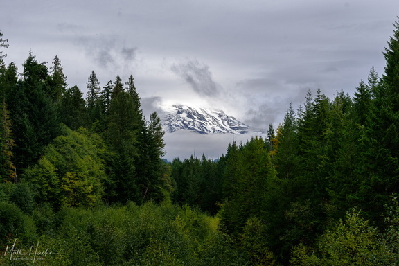 A little bit of Mount Rainier, from not very far away
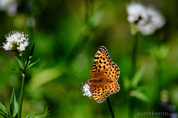 A spot of colour
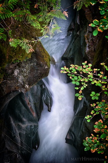 Box Canyon
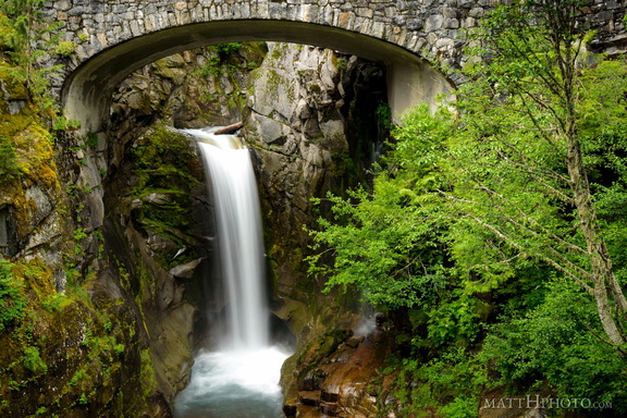 Christine Falls
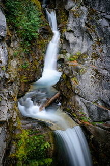 Christine Falls (Upper Drop)
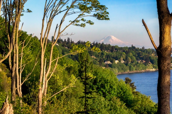 Discovery Park
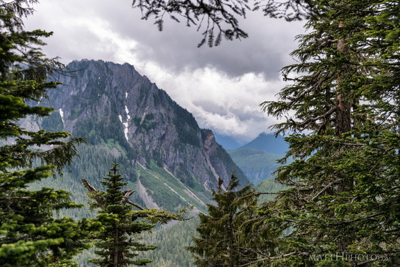 Eagle, between the trees
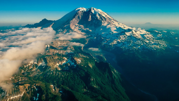 extreme carbon
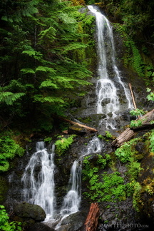 Falls Creek Falls
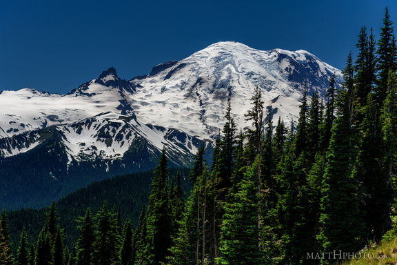 From Sunrise Point, the Mountain
 Fryingpan Creek to Banshee Peak
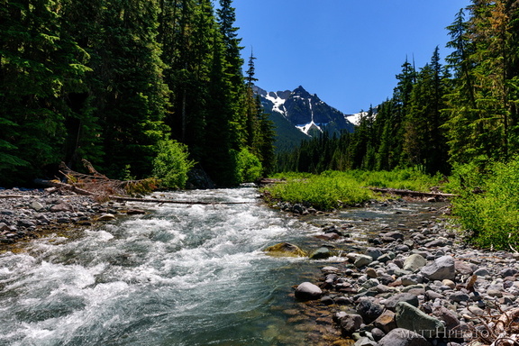 Fryingpan Creek to Banshee Peak
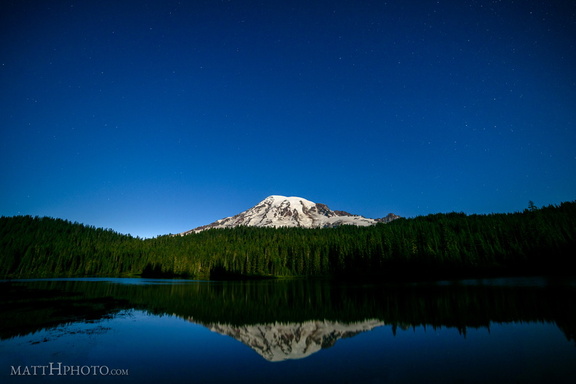 Glaciers in Moonlight
 Grove of the Patriarchs Trail
 January Embers
 Last Day of 2017
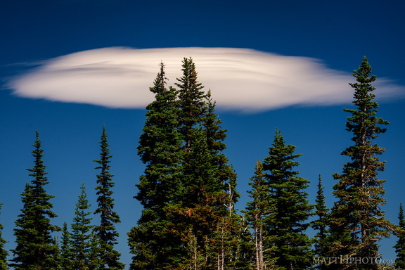 Lenticular
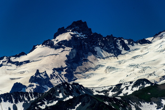 Little Tahoma
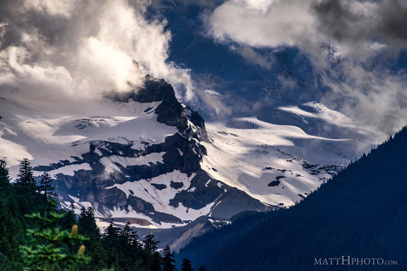 Little Tahoma
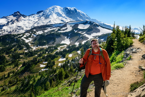 Look at me, I'm on a ridge.
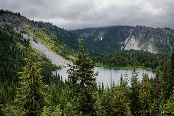 Louise Lake
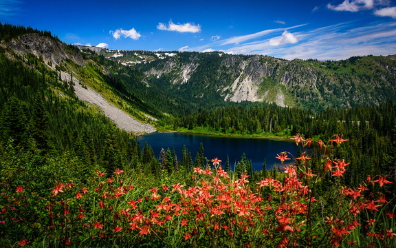 Louise Lake, Mount Rainier National Park
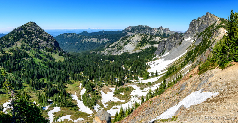 McNeeley Peak
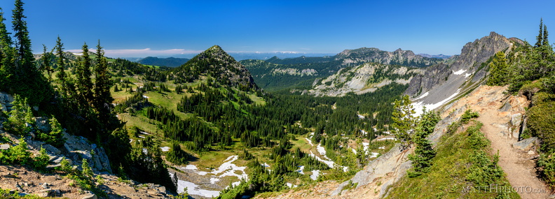 McNeeley Peak
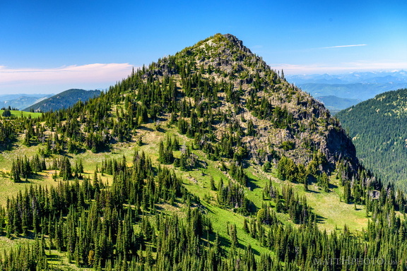 McNeeley Peak
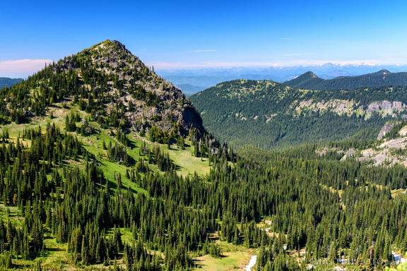 McNeeley Peak
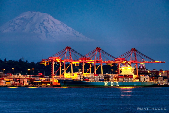 MOL Generosity
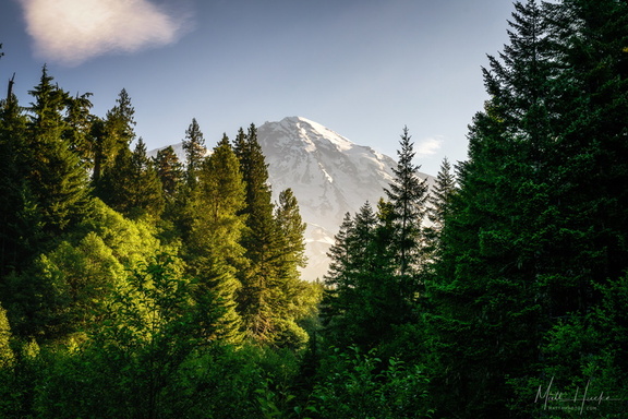 Morning at Kautz Creek
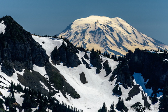 Mount Adams (from Rainier)
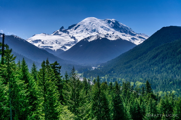 Mount Rainier
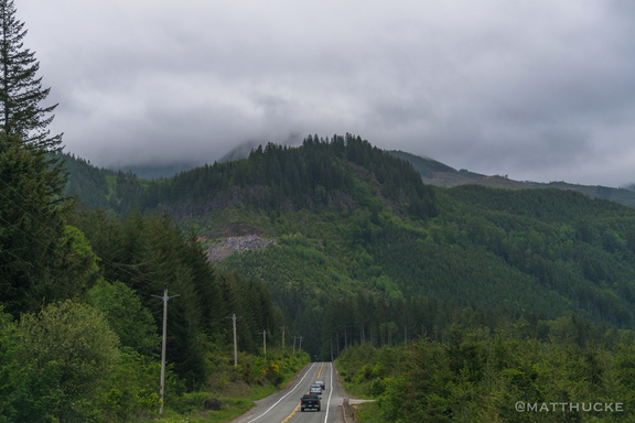 Mountain Caravan
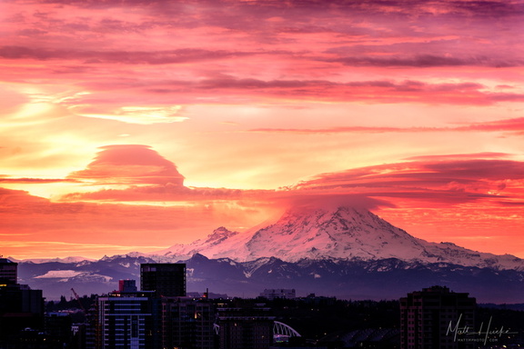 My heart burns there too
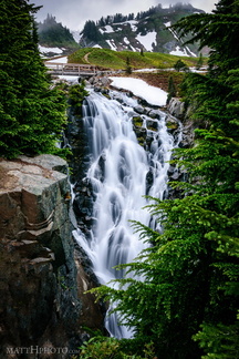 Myrtle Falls, Mount Rainier
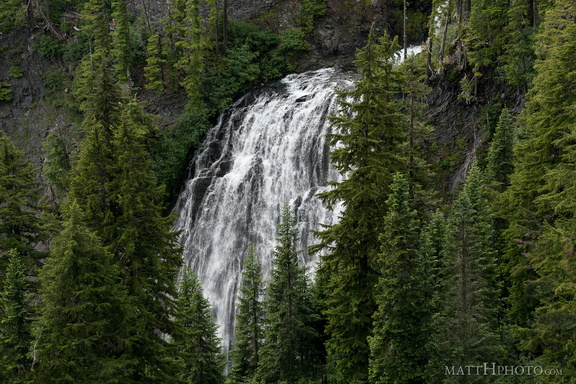 Narada Falls
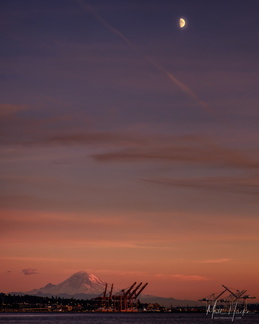 over rainier
 Palisades Lakes Trail
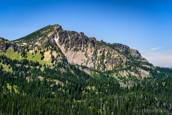 Palisades Peak
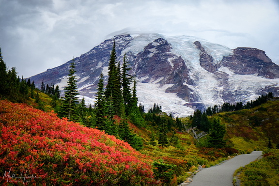 Paradise
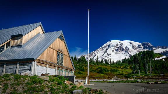 Paradise
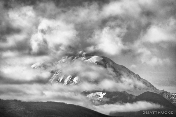 Rainier and clouds
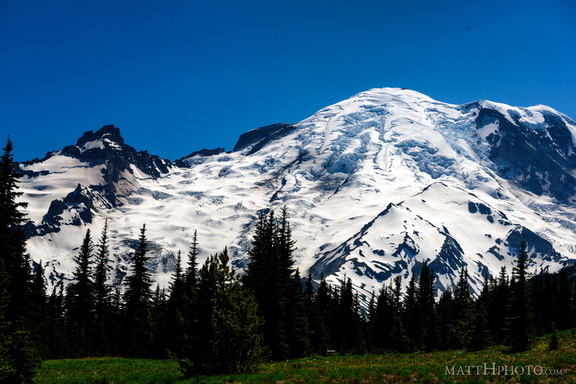 Rainier from Sunrise
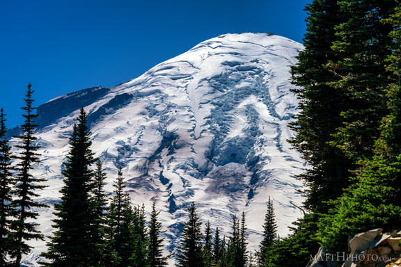 Rainier from Sunrise Point
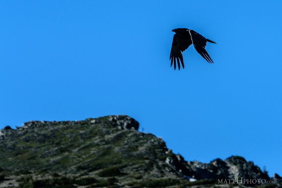 Rainier Raven
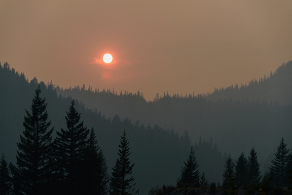 Red Sun at Rainier
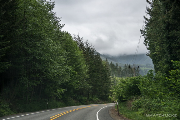 Road to Rainier
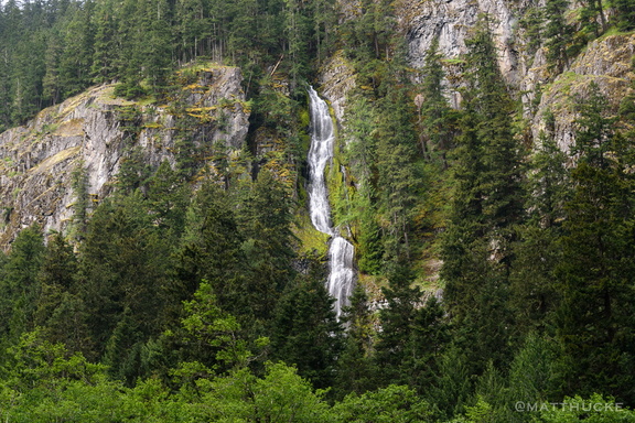 Skookum Falls
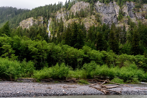 Skookum Falls and White River
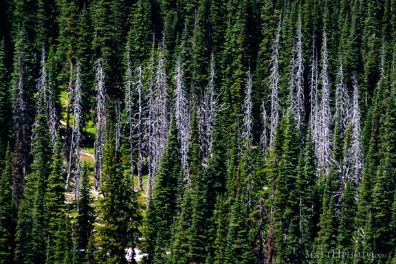 Snags
Snags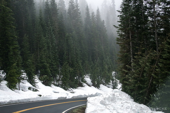 Snow in May? You must be mad!