Home / Keyword washington state 103

-
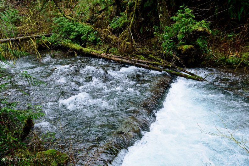 Spoon Creek Falls
Olympic National Forest, Washingto -
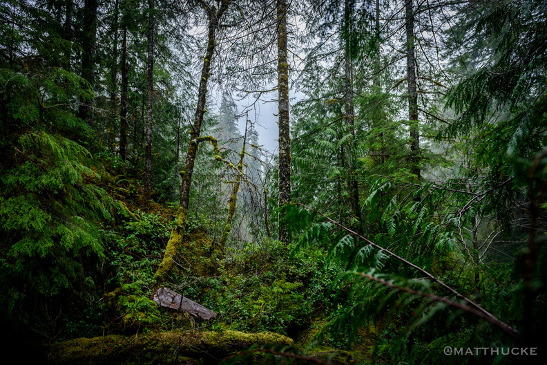 Spoon Creek Falls Trail
Olympic National Forest, Washingto -
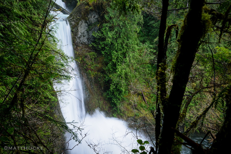 Spoon Creek Falls
Olympic National Forest, Washingto -
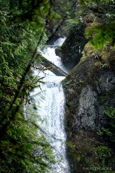 Spoon Creek Falls
Olympic National Forest, Washington -
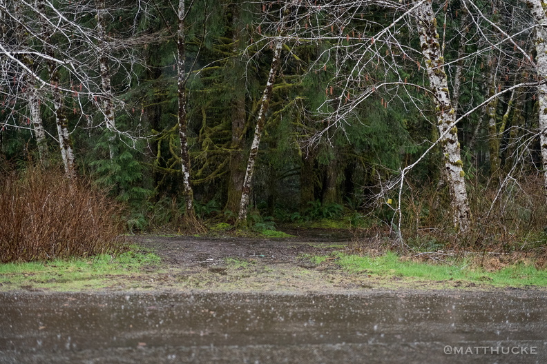 Alders and the rain
Near Lake Quinault Lodge and the Olympic National Forest -
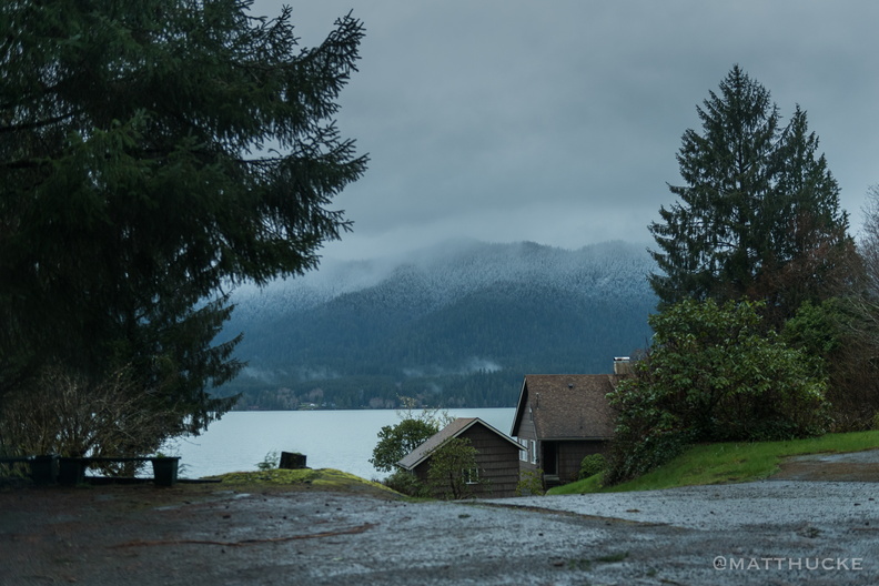 Lake Quinault
Near Lake Quinault Lodge and the Olympic National Forest -
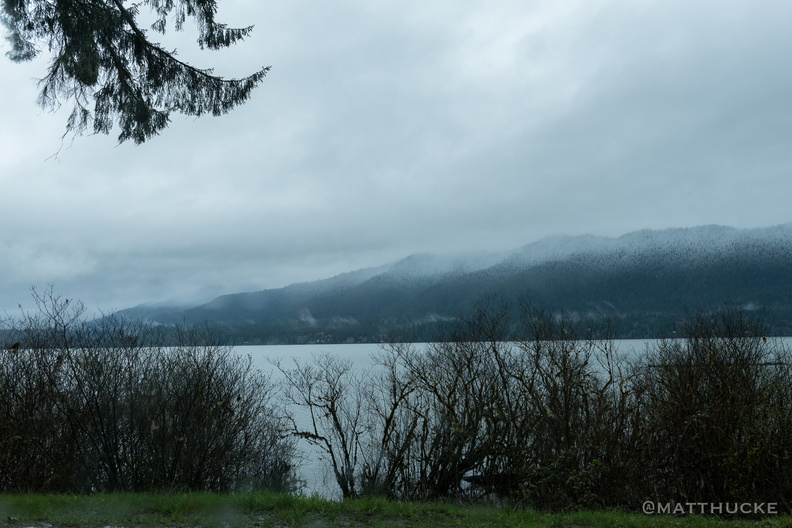 Lake Quinault
Near Lake Quinault Lodge and the Olympic National Forest -
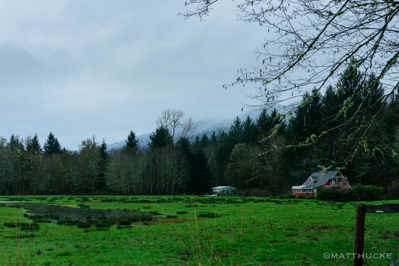 Red House
Near Lake Quinault Lodge and the Olympic National Forest -
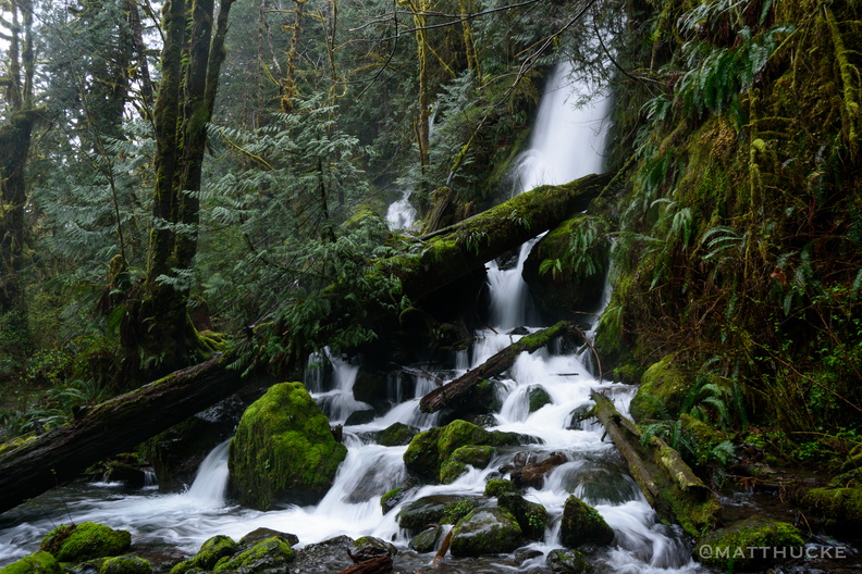 Merrriman Falls
Near Lake Quinault Lodge -
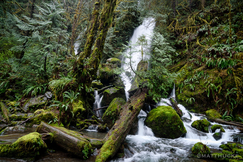 Merriman Falls
-
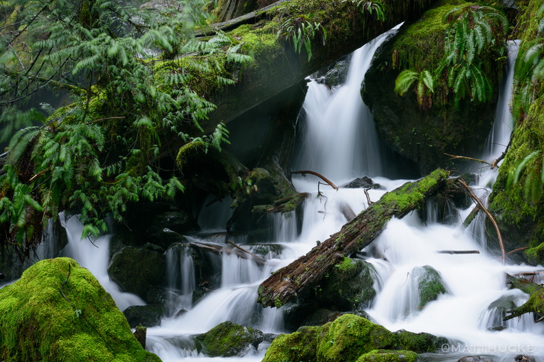 Soft water, cold water, falling to the earth
Close-up of lower level of Merriman Falls, Olympic Peninsula. -
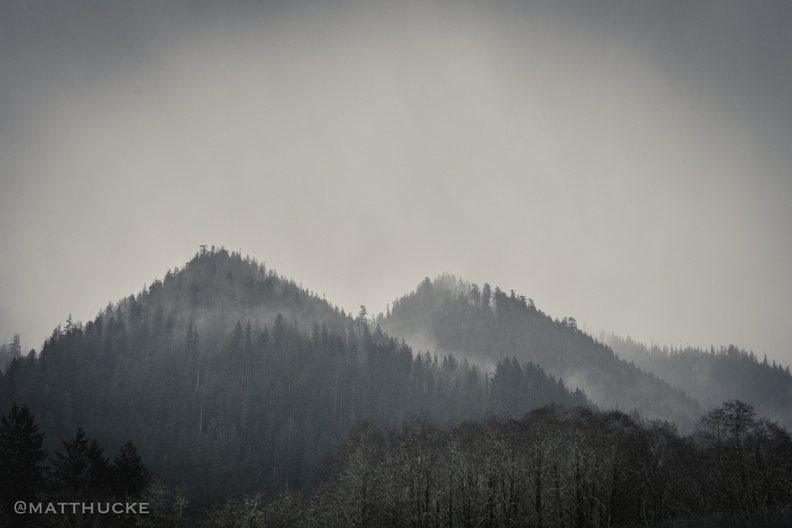 Hills, two.
Near Lake Quinault Lodge, Olympic Peninsula, Washington. -
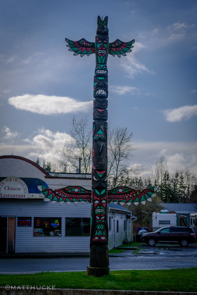 Forks Totem Pole
Totem Pole in Forks, WA. -
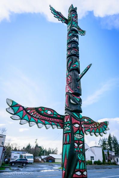 Forks Totem Pole
Totem Pole in Forks, WA. -
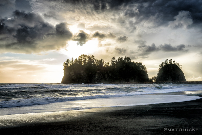 James Island, La Push WA
-
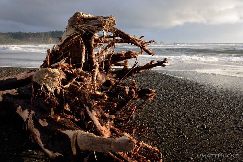 First Beach, La Push WA
-
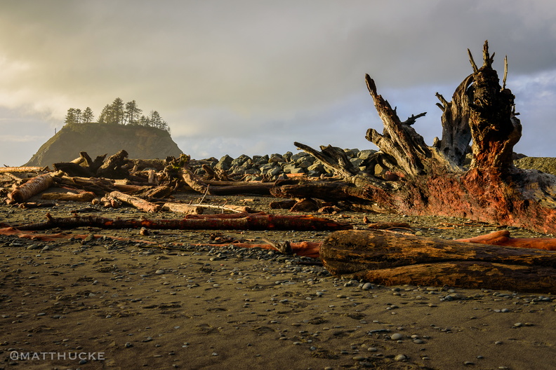 First Beach, La Push WA
-
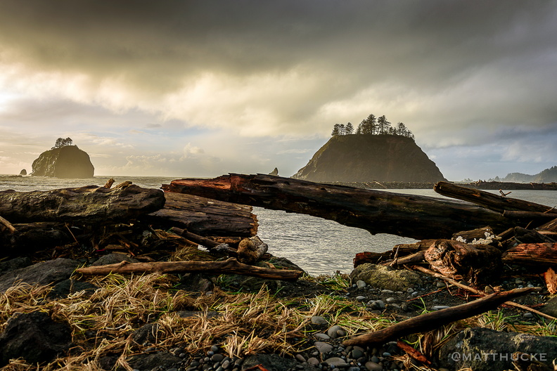 Little James Island
-
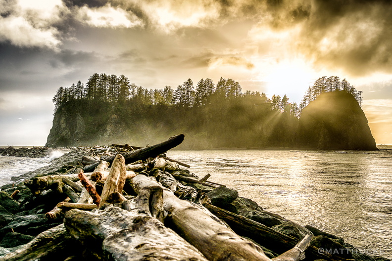 Sunset on James Island
-
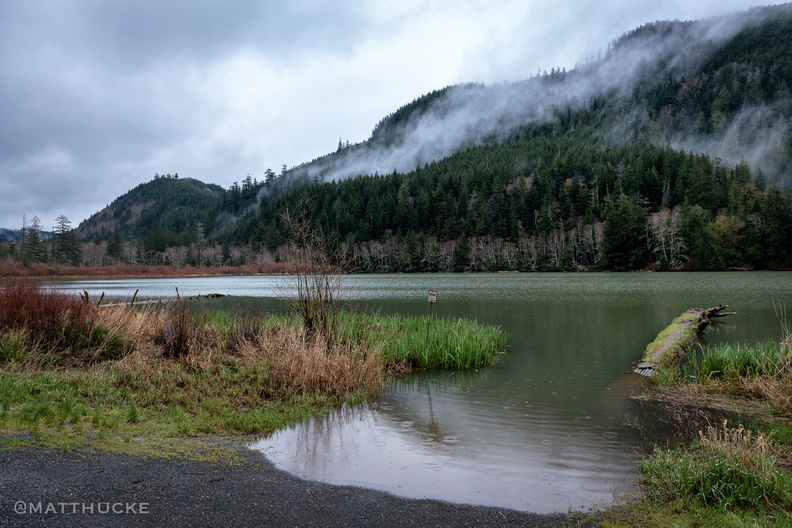 Beaver Lake
Beaver Lake, Clallam County, Olympic Peninsula, Washington -
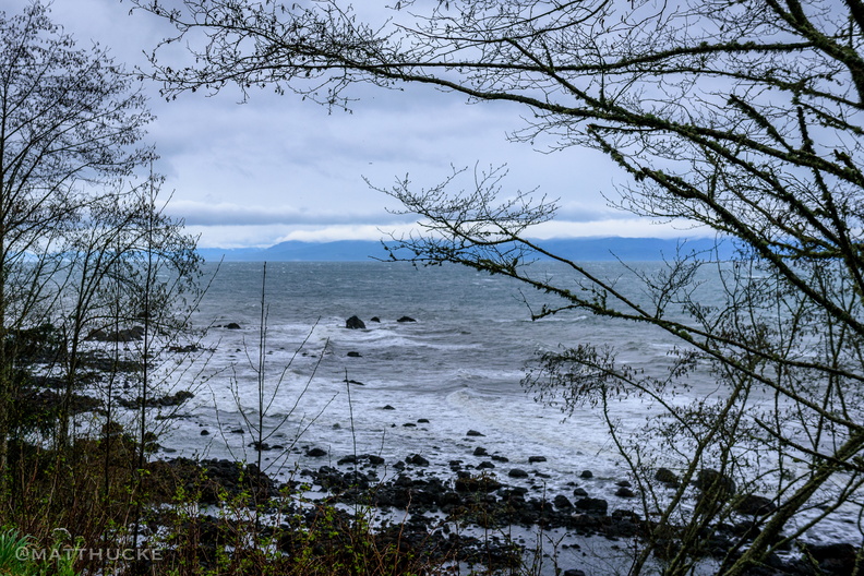 Edge of America
Looking north from the Olympic Peninsula, across the Strait of Juan de Fuca, towards Vancouver Island. -
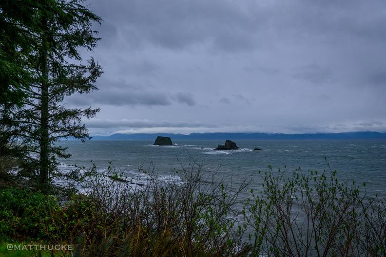 Last Rocks before Canada
-
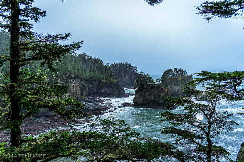 Cape Flattery
Cape Flattery, Washington, Northwesternmost point in the continental U.S. -
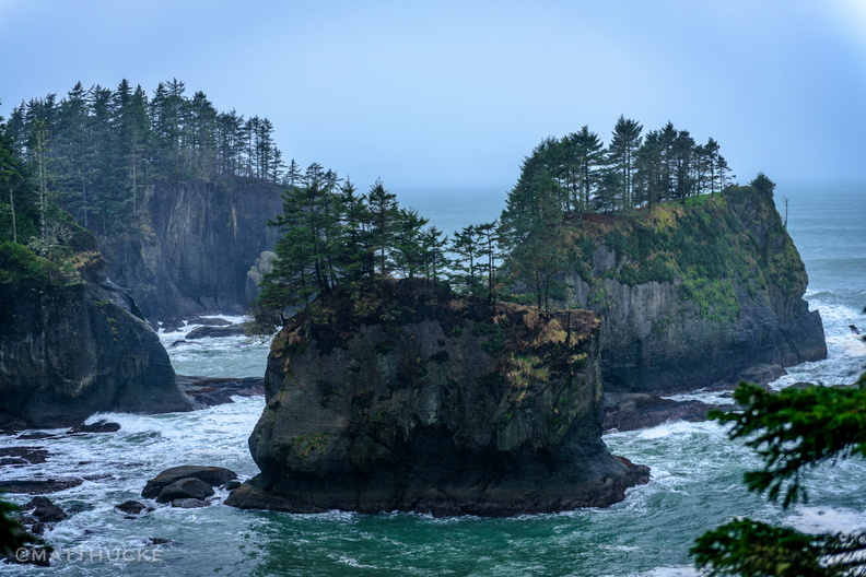 Cape Flattery
Cape Flattery, Washington, Northwesternmost point in the continental U.S. -
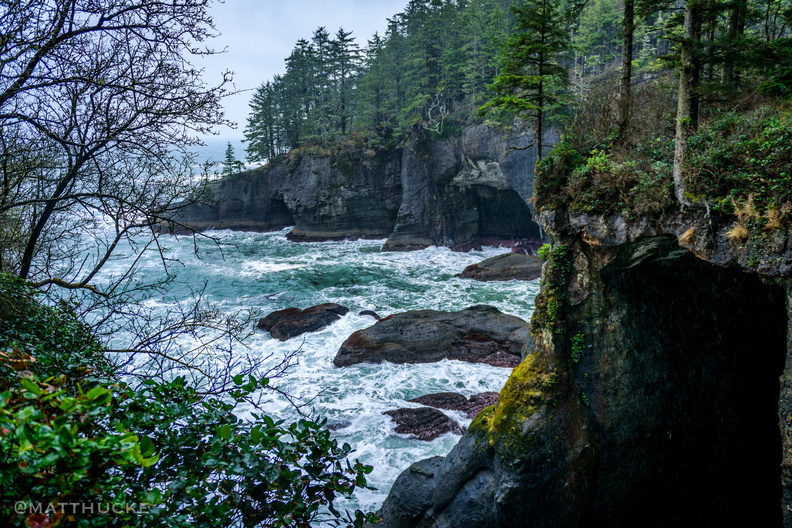 Sea Caves
Cape Flattery, Washington, Northwesternmost point in the continental U.S. -
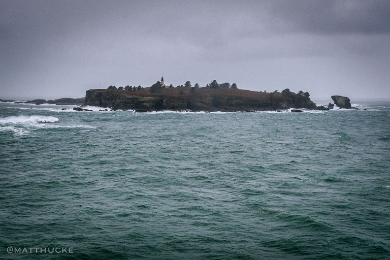 Cape Flattery Light
Tatoosh Island, Cape Flattery -
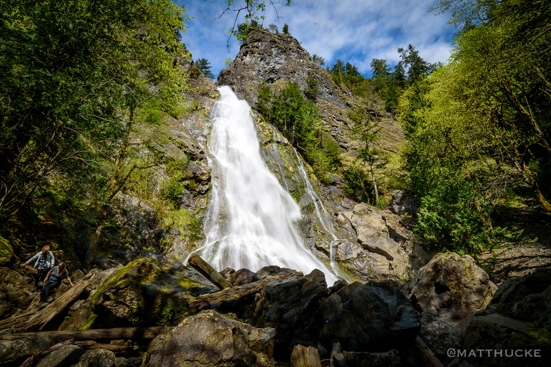 Rocky Brook Falls
229 foot horsetail falls. -
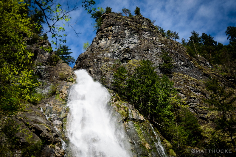 Rocky Brook Falls
229 foot horsetail falls. -
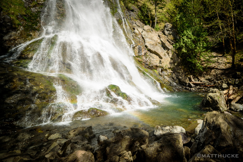 Rocky Brook Falls
229 foot horsetail falls. -
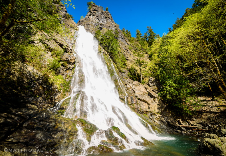 Rocky Brook Falls
229 foot horsetail falls. -
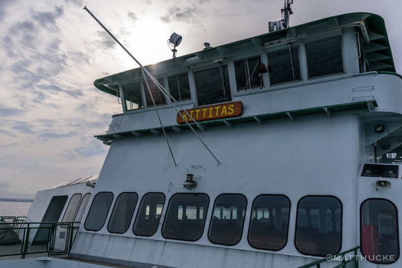 M/V Kittitas
WSDOT Ferry, on the Mukilteo-Whidbey Island run -
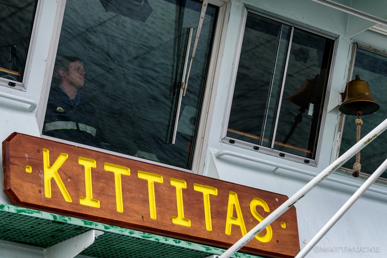 Eyes on the Water
-
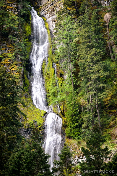 Skookum Falls
Near Mount Rainier -
 Lake Crescent and Pyramid Mountain
Looking north across Lake Crescent at Pyramid Mountain. Mount Storm King is in the distance, right of center, and Aurora Peak rises on the right side of the frame. Panorama merge from 9 images, 18mm (crop sensor; 27mm equiv). Field of view is about 200 degrees. -
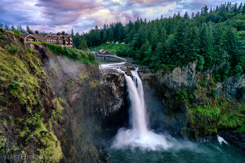 Snoqualmie Falls on a July Evening
-
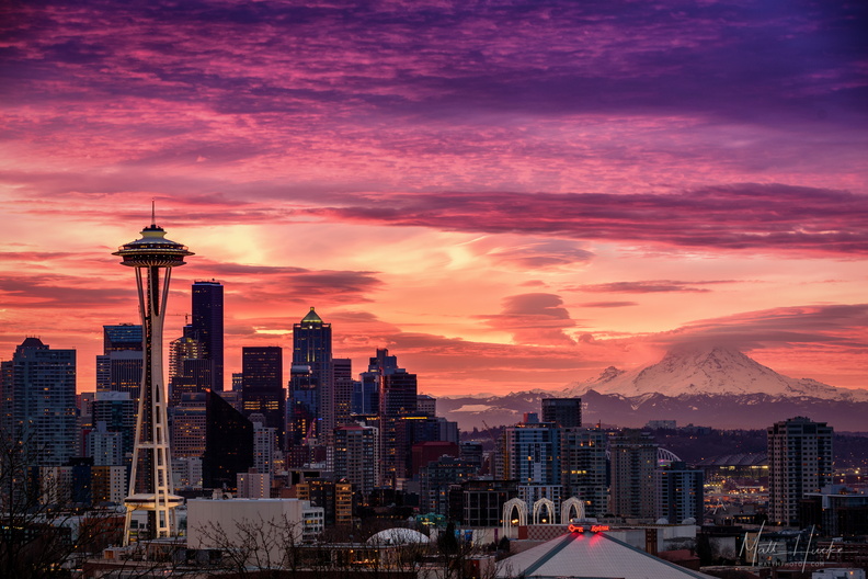 January Embers
-
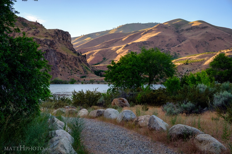 Lincoln Rock State Park
Washington state park on the Columbia River. The park is named for the rock formation on the hill at left. -
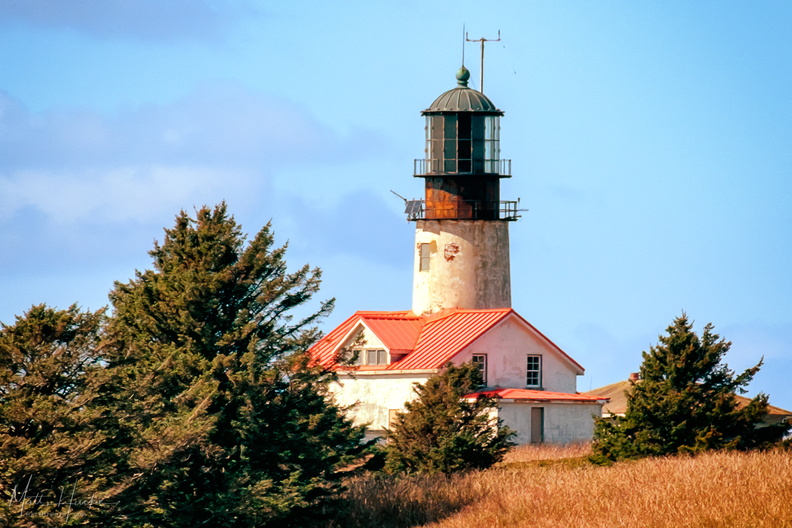 Tatoosh Island Light House
Lighthouse on Tatoosh Island, west of Cape Flattery, northwesternmost point in the contiguous 48 states. -
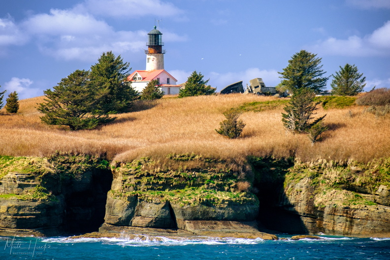 Tatoosh Island Light House
Lighthouse on Tatoosh Island, west of Cape Flattery, northwesternmost point in the contiguous 48 states. -
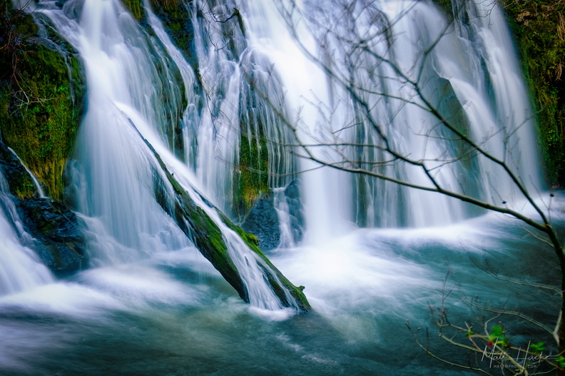 Beaver Falls
South of Beaver Lake on the Olympic Peninsula. There is no sign, look for a pullout on the east side of the road. -
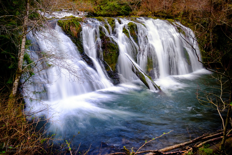 Beaver Falls
South of Beaver Lake on the Olympic Peninsula. There is no sign, look for a pullout on the east side of the road. -
 Mount Storm King
Viewed from western end of Lake Crescent. -
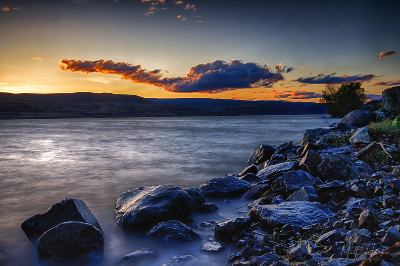 Columbia rocks
-
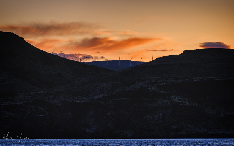 Wild Horses on the Columbia
Wild Horse wind farm turbines -
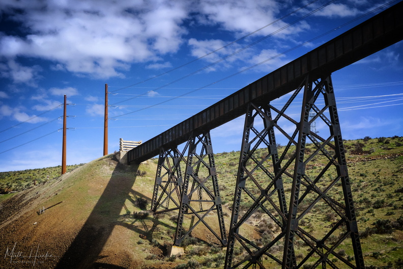 Renslow Trestle Bridge
Abandoned 1909 railway trestle over I-90, Kittitas County -
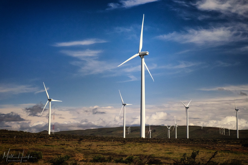 Turbines
Wild Horse Wind Farm, with Vestas V80 turbines, each with a 221-foot tower and 129-foot blades. -
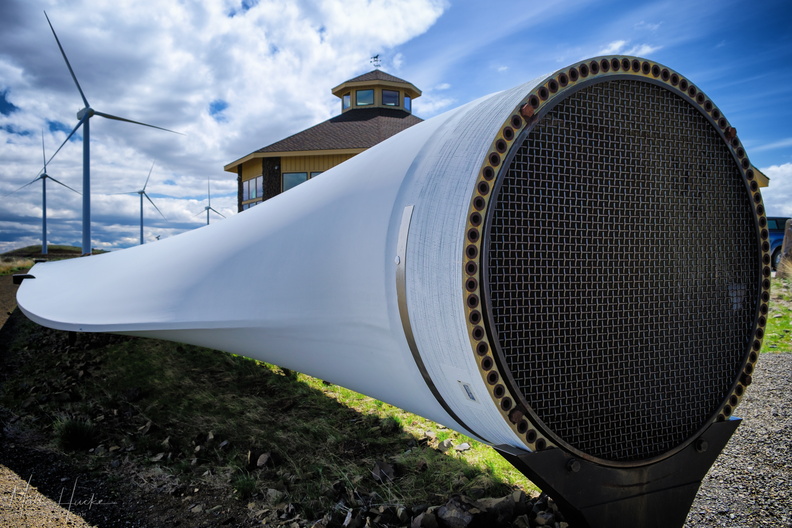 The Fallen One
Blade from a Vestas V80 wind turbine, damaged during construction, now an exhibit at the Wild Horse Wind Farm visitor center. 129 feet long. The open end, where it would attach to the hub, is about 6 feet in diameter. -
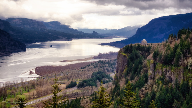 Gorge
Gorge
-
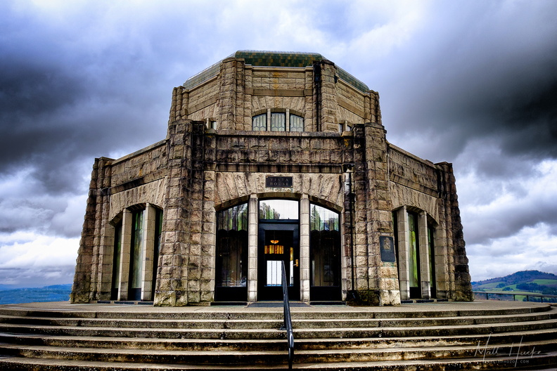 Vista House
-
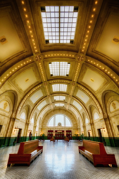 The trains come no more
Union Station, Seattle. Rail service to this station was discontinued in 1971.