
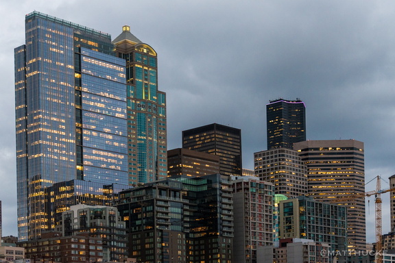
 Seattle Skyscrapers
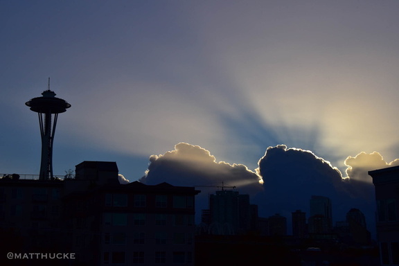 Needle Sunrise
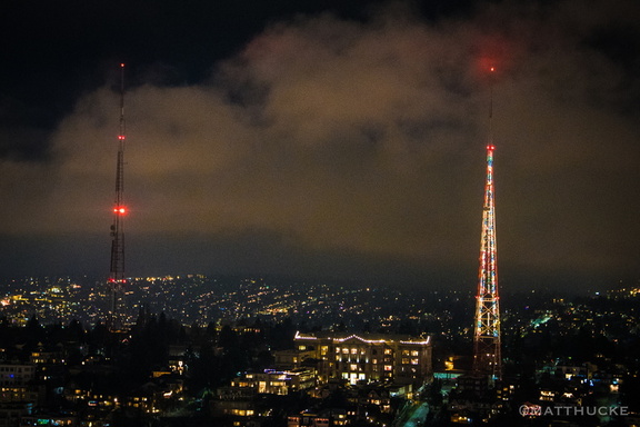 Holiday antenna
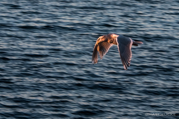 West Seattle Seagull
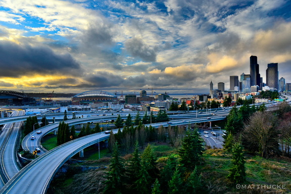 Shining CIty on a Hill
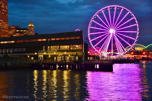 Wheel and Aquarium
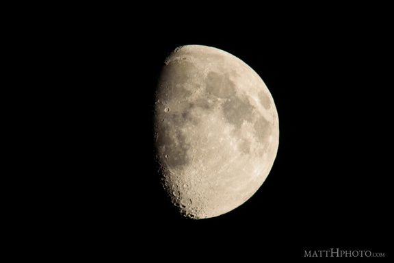 luna
luna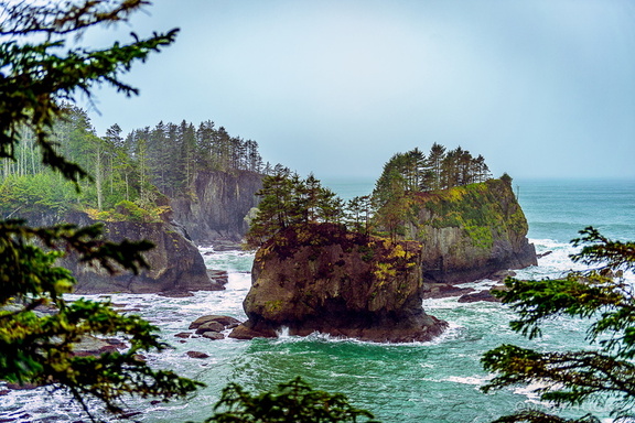 Corner of the Country
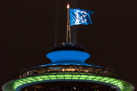 For the Twelfth
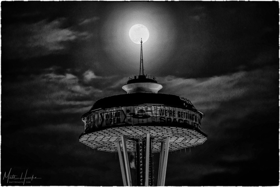 Spacelift 2018
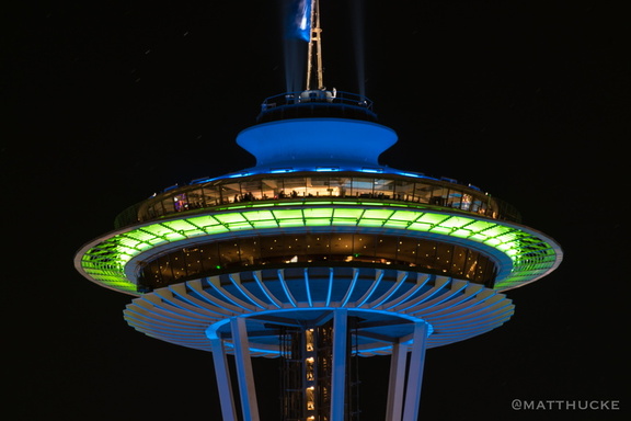 Sportsneedle!
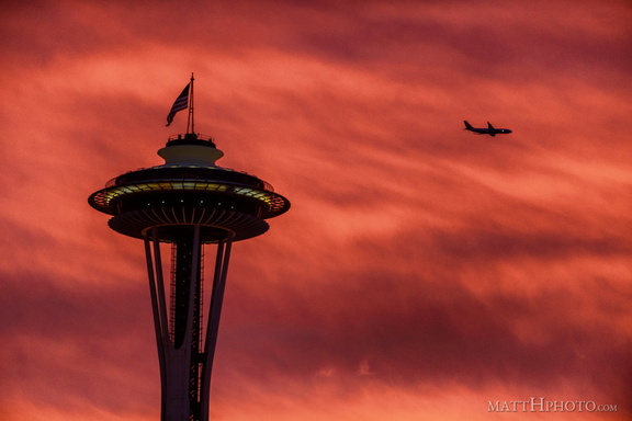 Veterans' Day Sunrise
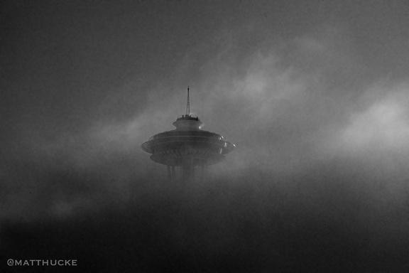 Saucer Separation
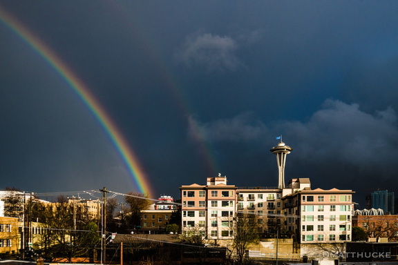 Sudden spectrum
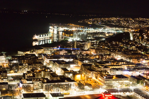 I live in the glow
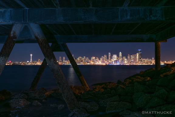 Under the Boardwalk, Down by the Sea
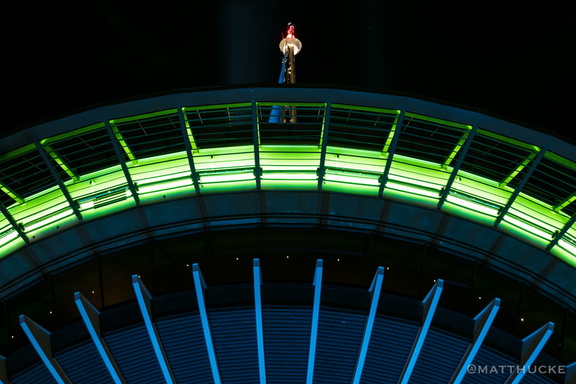 Seahawks Needle
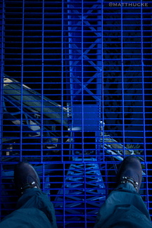 Thin steel grid between me and death
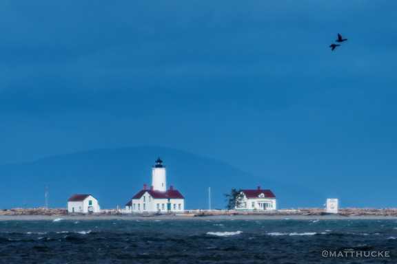 New Dungeness Lighthouse
 Grey on Grey
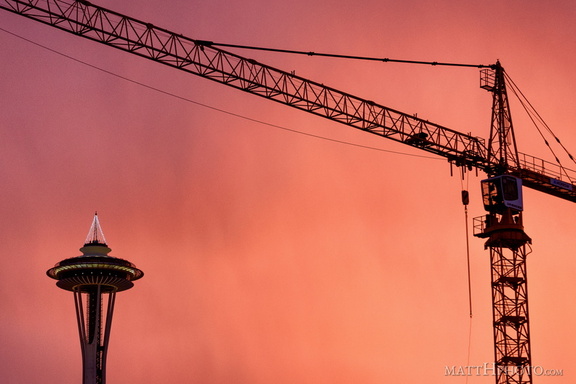 Industry takes a holiday
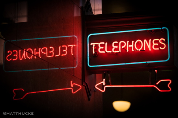 senohpelet telephones
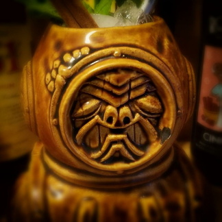 Aqua Tiki
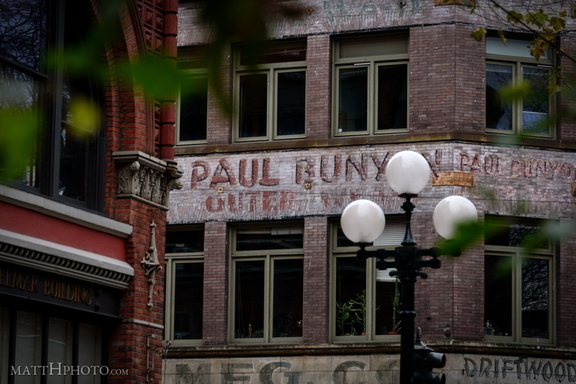 Paul Bunyon Outer Wear
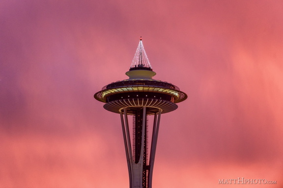 Seattle pinks up for the holidays
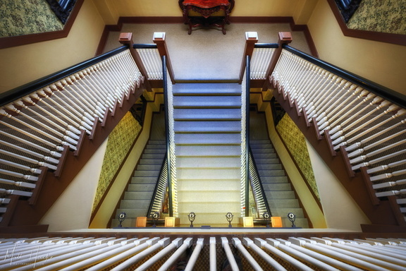 Marqueen Staircase II
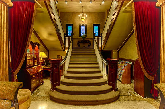 Marqueen Staircase
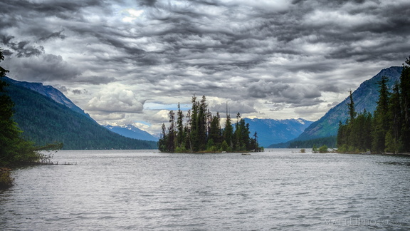 Emerald Island
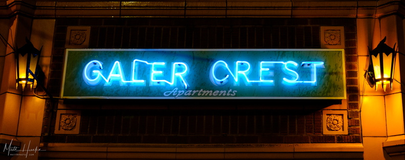 Galer Crest
 Marqueen Garden
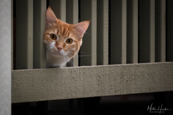 Orange Onlooker
 Lyman Cornelius Smith
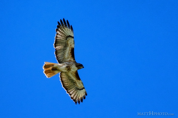 Above us, Osprey
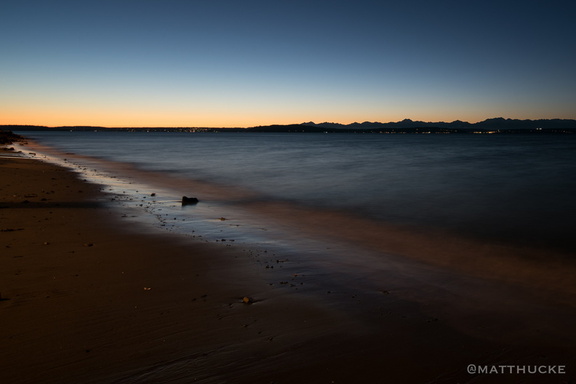 Last light on the beach
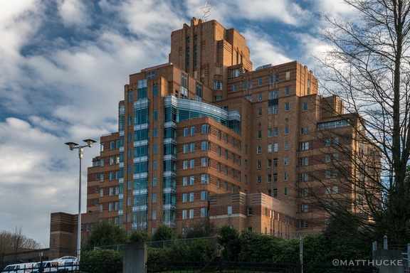 Hospital with a View
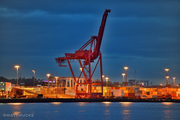 Harbour Colossus
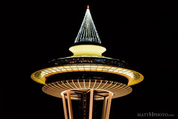 The "tree" is lit.
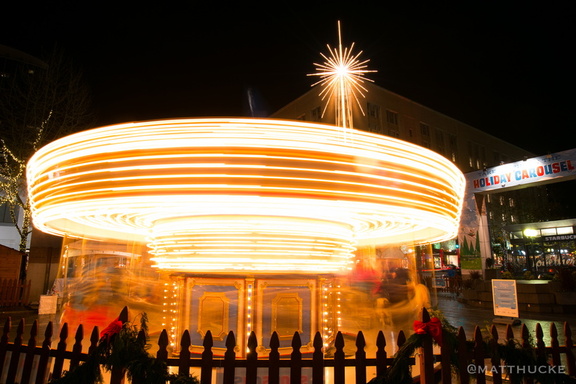 Carousel
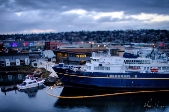 E.L. Bartlett
 Low Visibility at 520 Feet
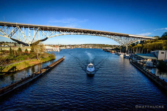 Aurora Bridge
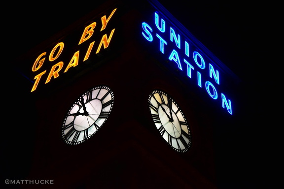 Go By Train
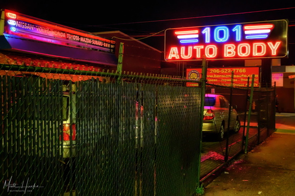 101 Auto Body
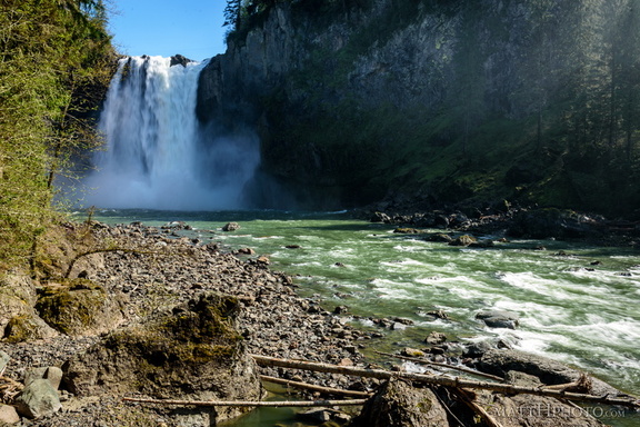 Lower Snoqualmie
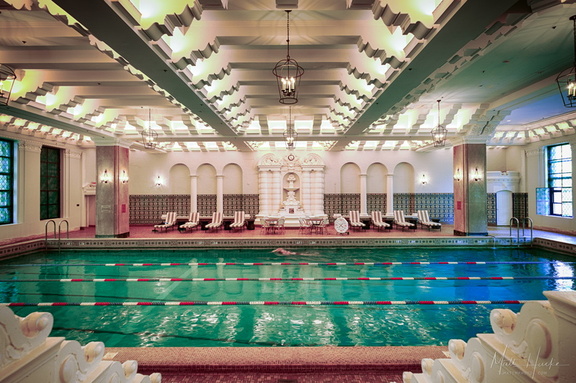 Pool on 14
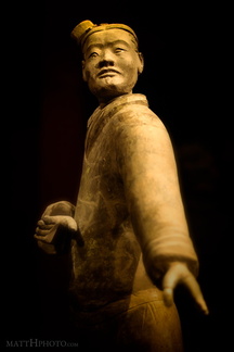 Archer
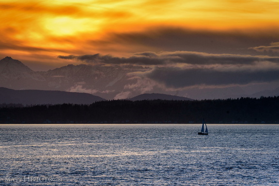 Golden Moment
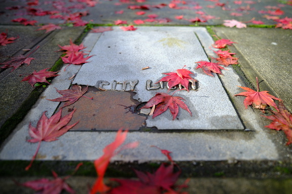 City Light
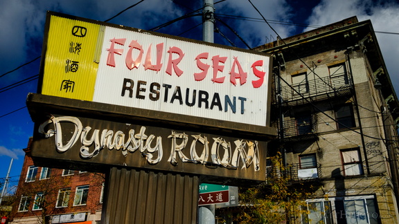 Four Seas Restaurant (1935-2017)
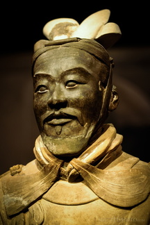 General from another time