
-
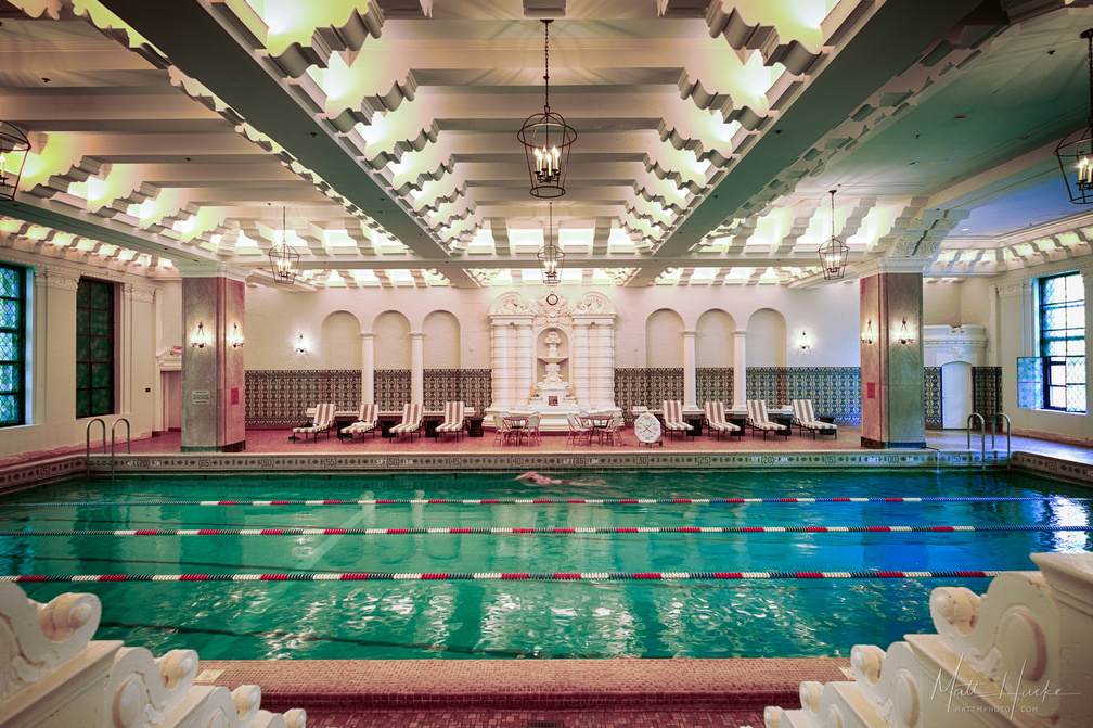 Pool on 14
When the Junior Olympic sized swimming pool at the Medinah Athletic Club in Chicago was completed in 1929, it was a remarkable feat of engineering - on the 14th floor of a skyscraper, it was then highest pool in the world (above ground level). Some call it the "Johnny Weissmuller Pool", as the Olympic gold medalist and Tarzan actor trained here. The building is now the Hotel InterContinental Magnificient Mile, and the pool is part of a fitness center available to hotel guests. It spans the entire width of the south tower. On the far wall is a terra cotta "Fountain of Neptune", surrounded with Spanish majolica tile. Though the fountain is currently dry, the hotel management have been careful to preserve all of the 1920s architectural detail of the space. 3-shot HDR, handheld. -
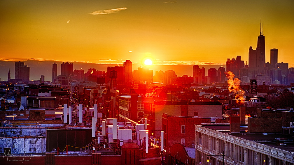 Sunrise on North Avenue
-
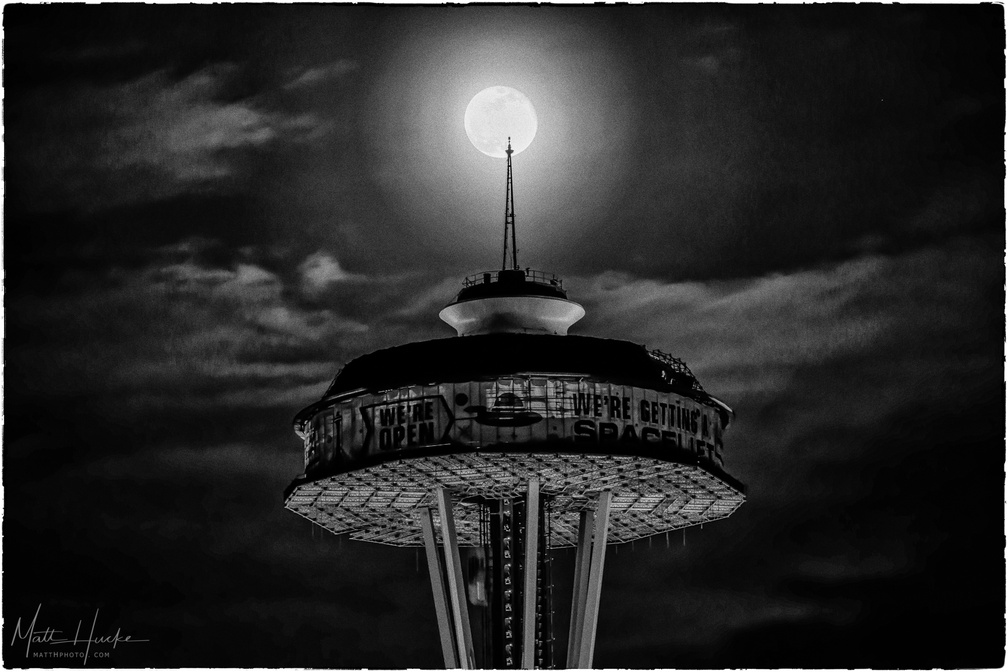 Spacelift 2018
-
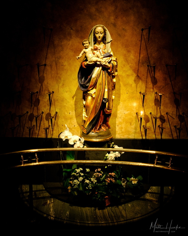 Mary
Mary
Virgin Mary shrine at St James Cathedral, Seattle -
 Elliott and Western
-
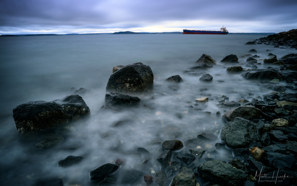 February
-
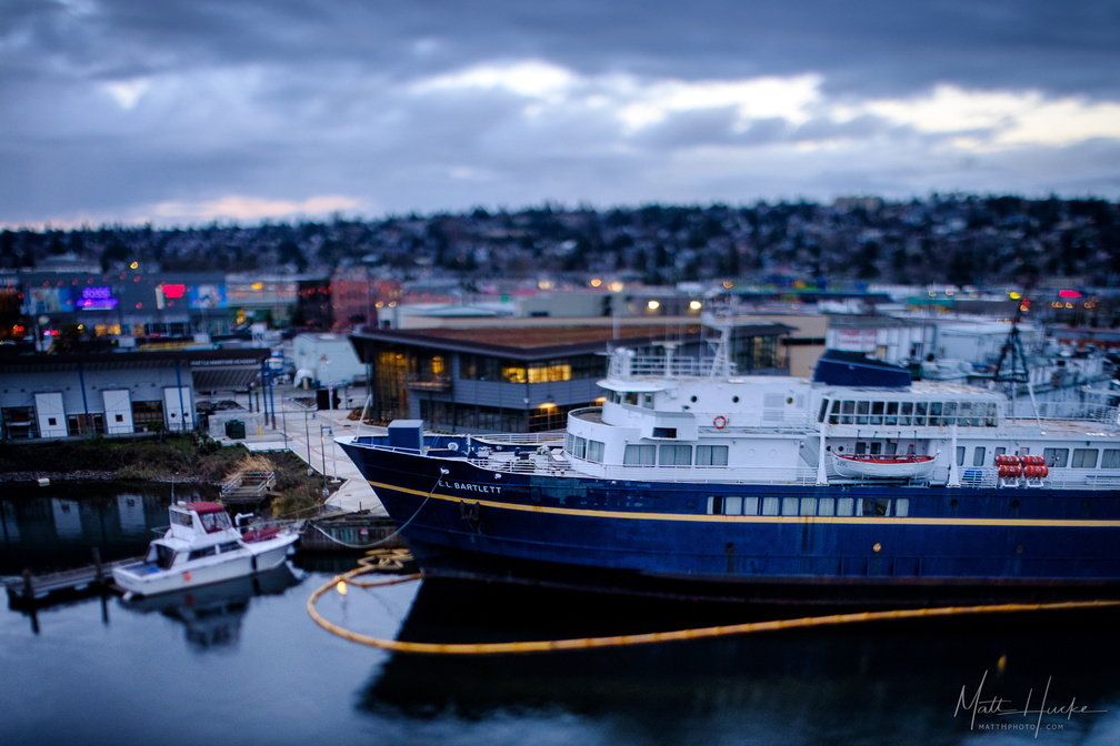 E.L. Bartlett
Tilt-shift photo of training ship E.L. Bartlett (1969), from the Ballard Bridge, Seattle. Nikon 24mm f2.8 on Kipon tilt-shift adapter for Fuji -
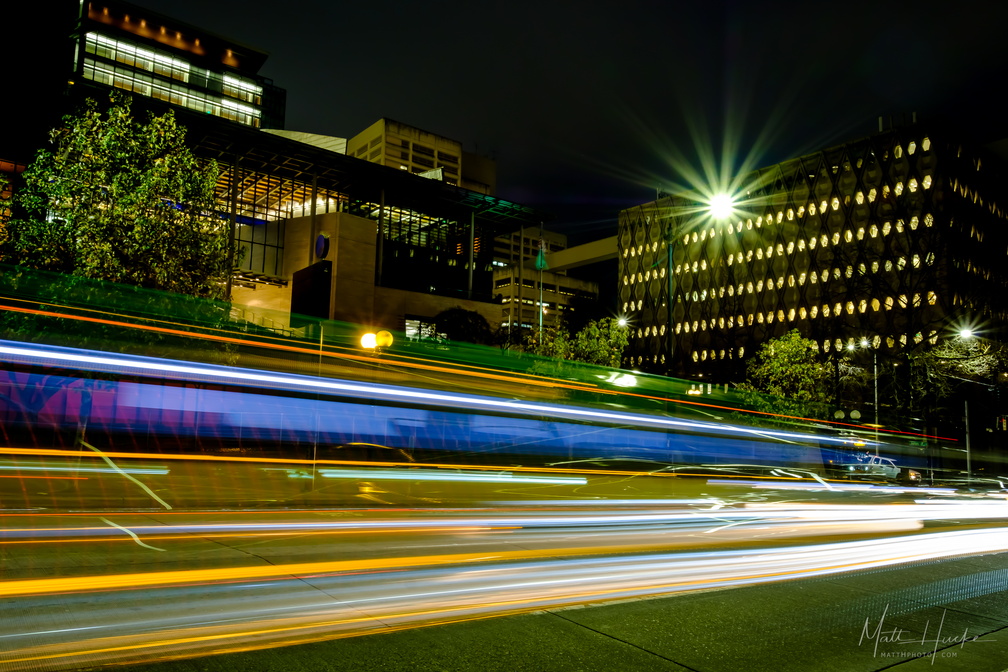 City Hall
Seattle City Hall light trails. -
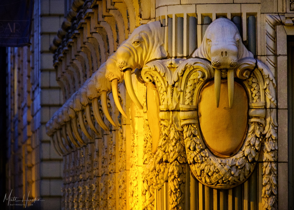 We Are the Walrus
Exterior of the Arctic Club, Seattle, featuring terra-cotta walrus heads. -
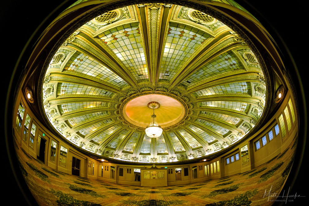 Arctic Club Dome
Northern Lights Dome Ballroom, Arctic Club Building, Seattle, 1916. -
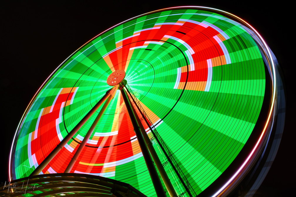 E pur si muove
-
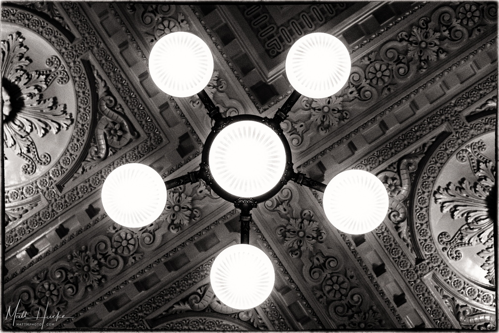 King Lamp
King Street (Rail) Station, Seattle -
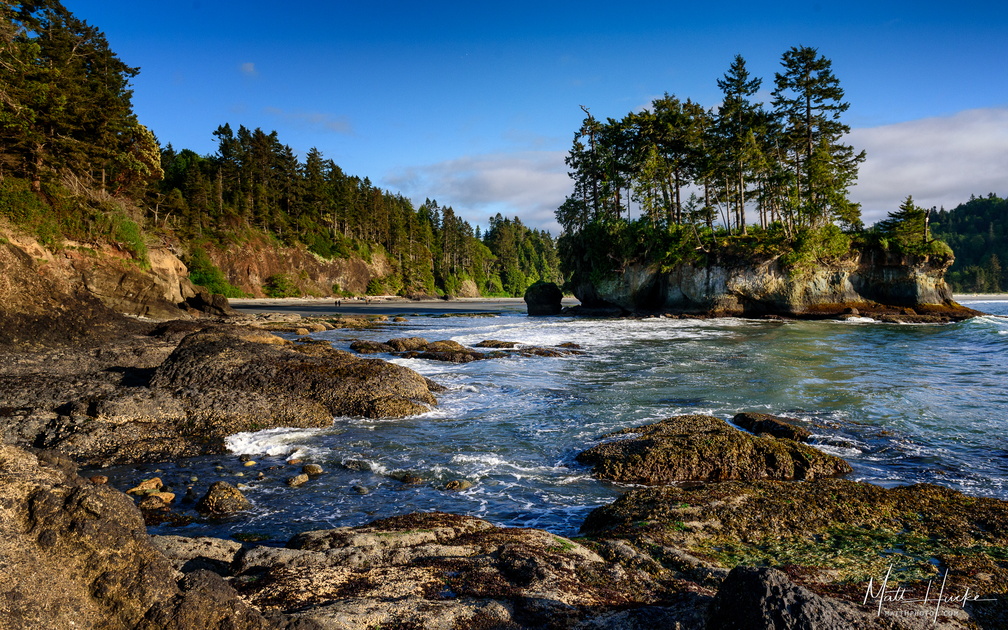 Wet Rocks
Salt Creek Recreation Area, Washington -
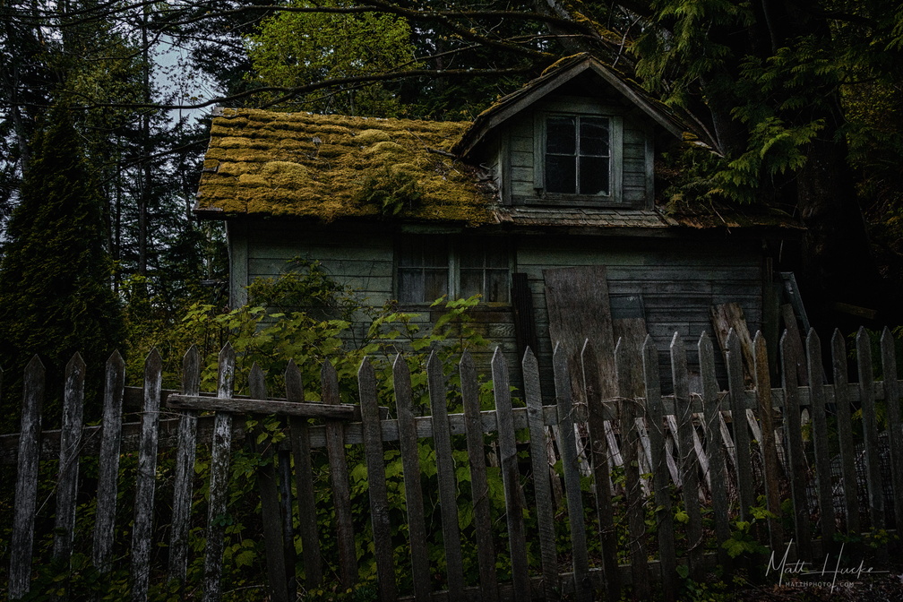 The Shunned House
Near Taylor Shellfish Farms, Chuckanut Drive, Bow WA -
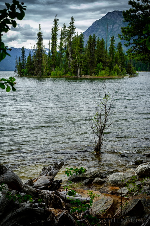 Emerald Island in Lake Wenatchee
-
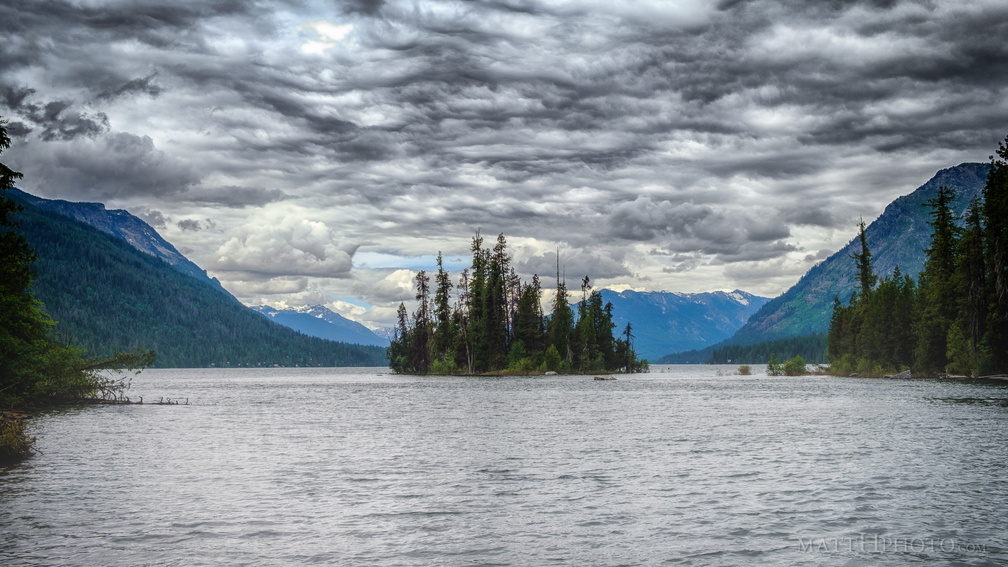 Emerald Island
Emerald Island in Lake Wenatchee -
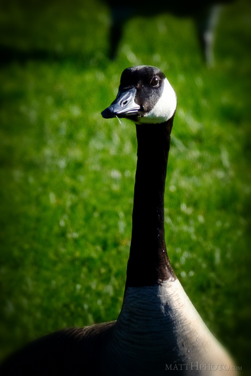 The Gander
-
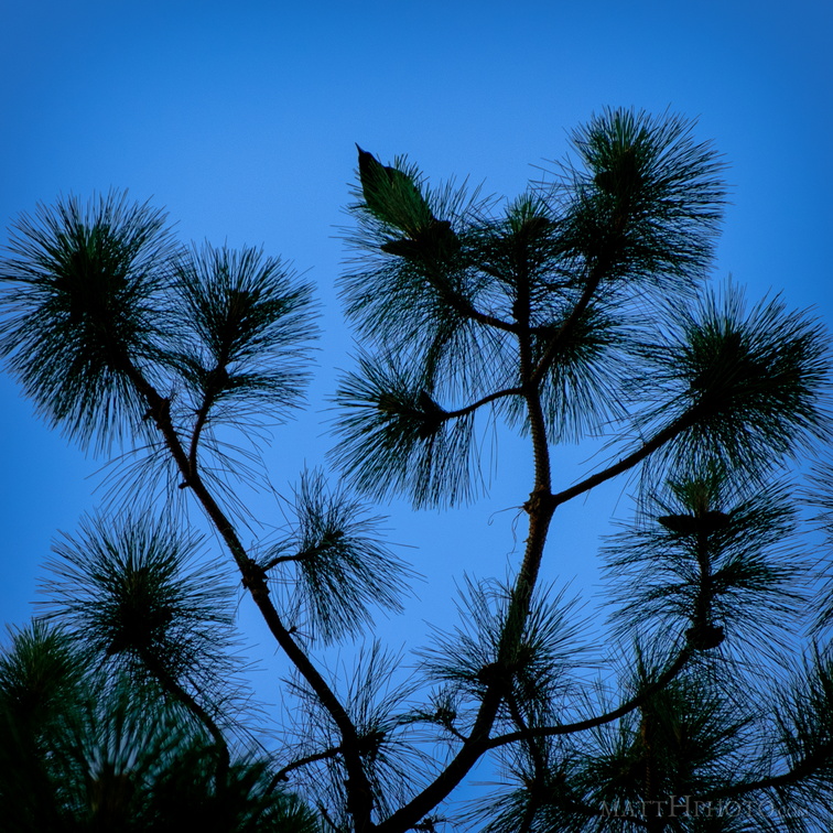 Top of the Pine
-
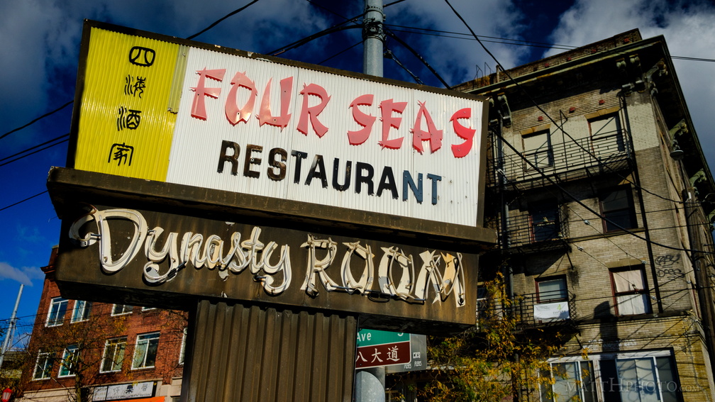 Four Seas Restaurant (1935-2017)
International District (Chinatown), Seattle. The restaurant (behind the photographer) is now permanently closed. -
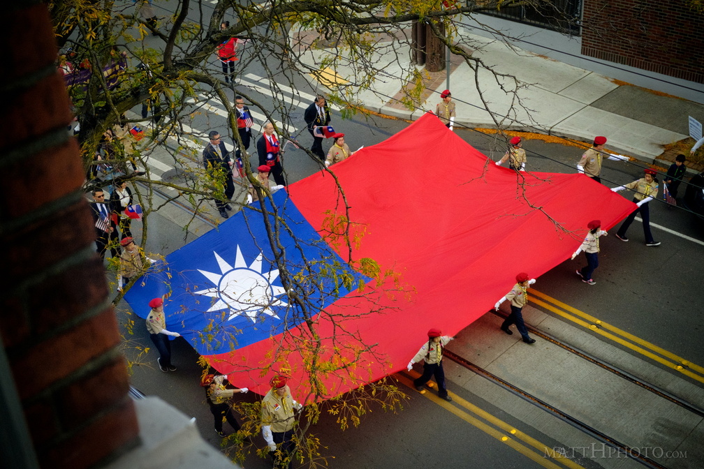 Ten Ten
Republic of China (Taiwan) Day Parade in Seattle, seen from the upper level of the Wing Luke Museum -
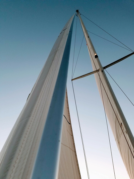 Forestay
-
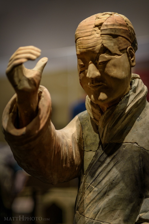 Musician for the Afterlife
Terra cotta figure from the tomb of the first Chinese emperor, thought to be a musician due to his hand positions and lack of armour. Any instrument he carried has long since crumbled to dust. -
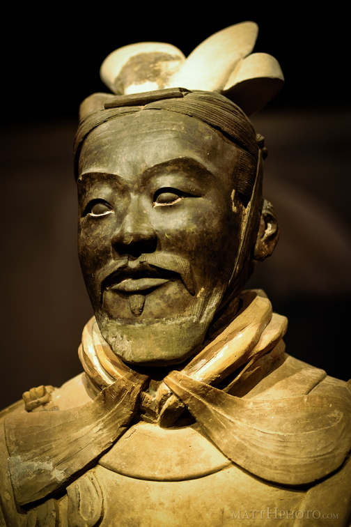 General from another time
Terra Cotta Warriors of the First Emperor of China, ca. 2200 BC -
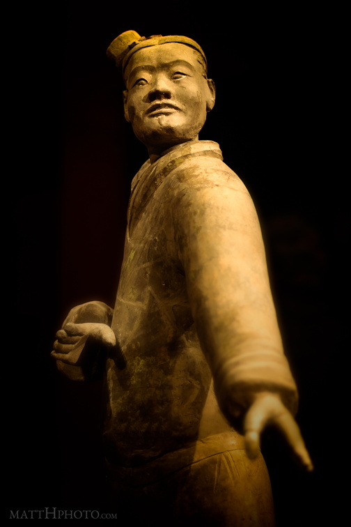 Archer
Terra Cotta Warriors of the First Emperor of China, ca. 2200 BC -
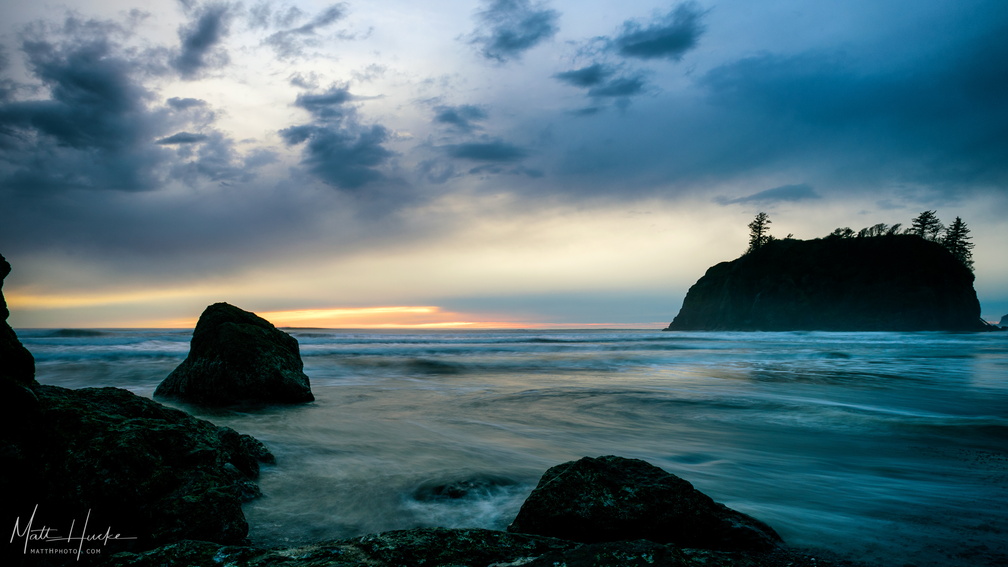 Ruby waters
-
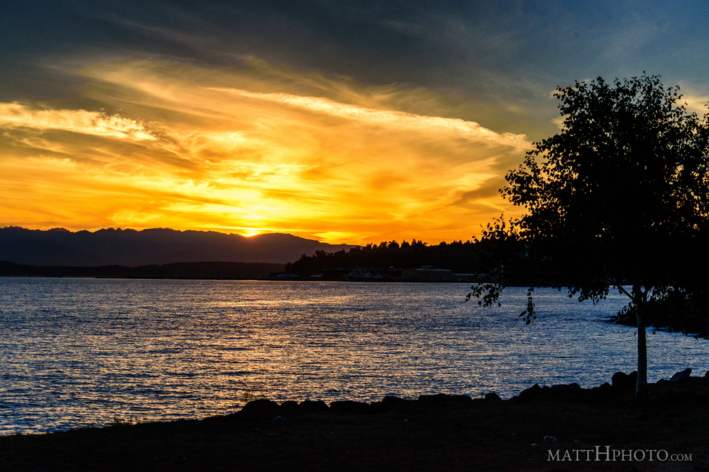 Puget's Gold
-
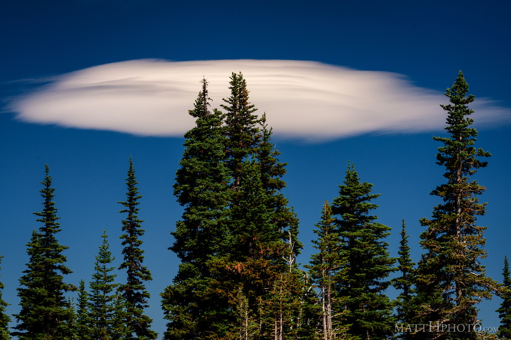 Lenticular
Lenticular cloud, looking east from Sunrise Point (6130ft), Mount Rainier National Park. -
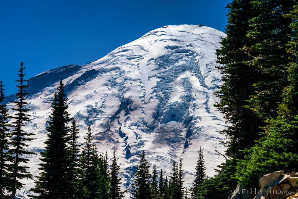 Rainier from Sunrise Point
Rainier summit, looking west from Sunrise Point (6130ft), Mount Rainier National Park. -
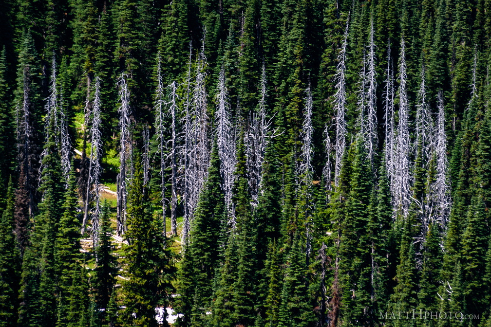 Snags
Snags
Standing dead trees, looking north from Sunrise Point (6130ft), Mount Rainier National Park. -
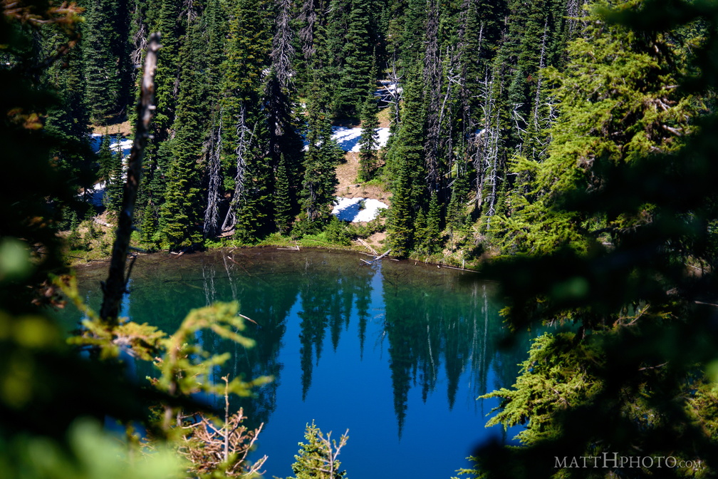 Sunrise Lake
Sunrise Lake (5730 ft), looking north from Sunrise Point (6130ft), Mount Rainier National Park. -
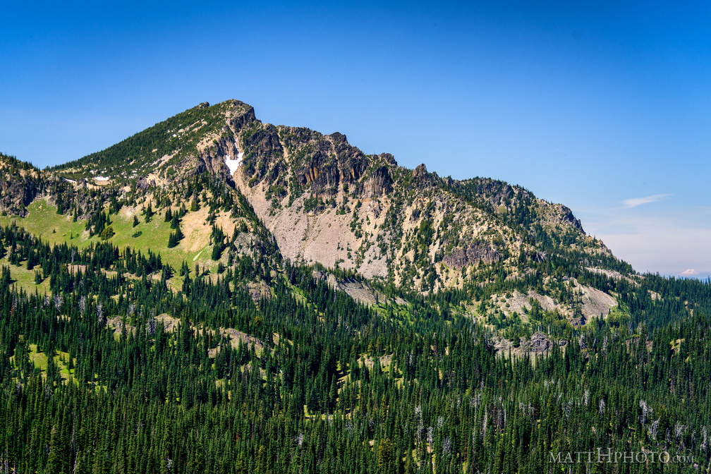 Palisades Peak
Palisades Peak (7000ft), named for it columnar basalt formations resembling a defensive wall. Looking northwest from Sunrise Point (6130ft), Mount Rainier National Park. At right, Mount Baker can be seen on the horizon, about 125 miles north. -
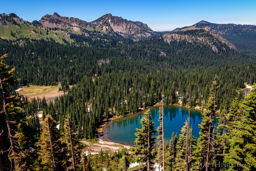 Sunrise Lake and Palisades Peak
Marcus Peak and Palisades Peak, above Sunrise Lake. Looking north from Sunrise Point (6130ft), Mount Rainier National Park. -
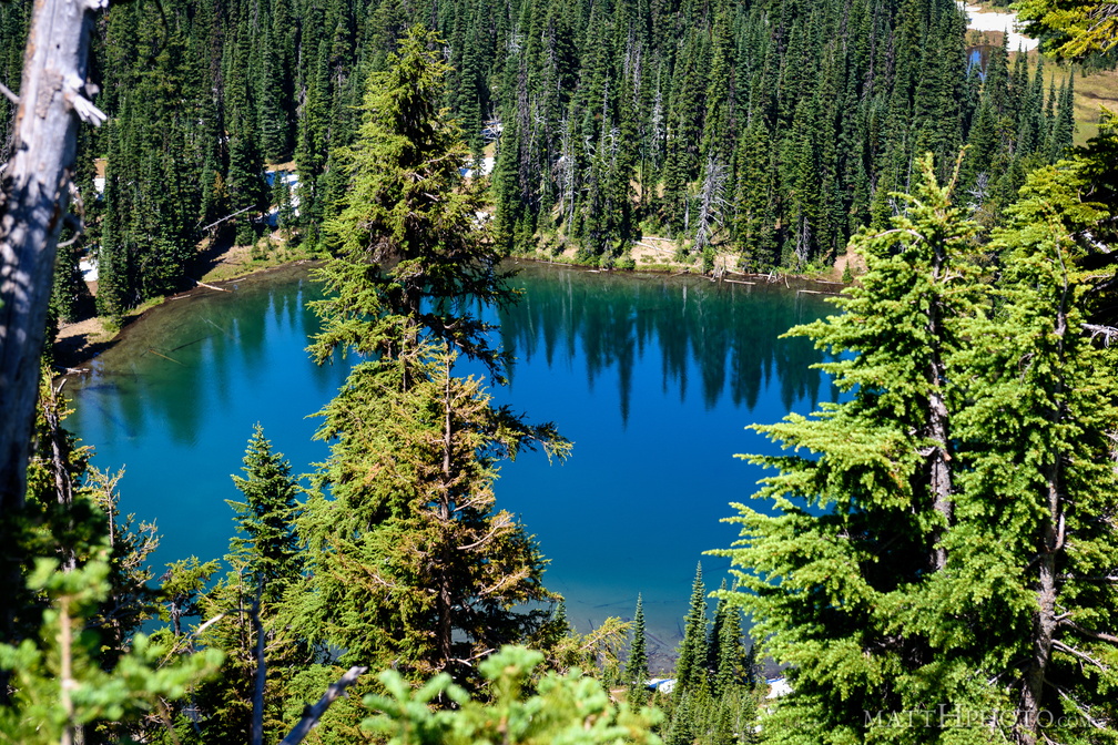 Sunrise Lake
From Sunrise Point (6130ft), Mount Rainier National Park. -
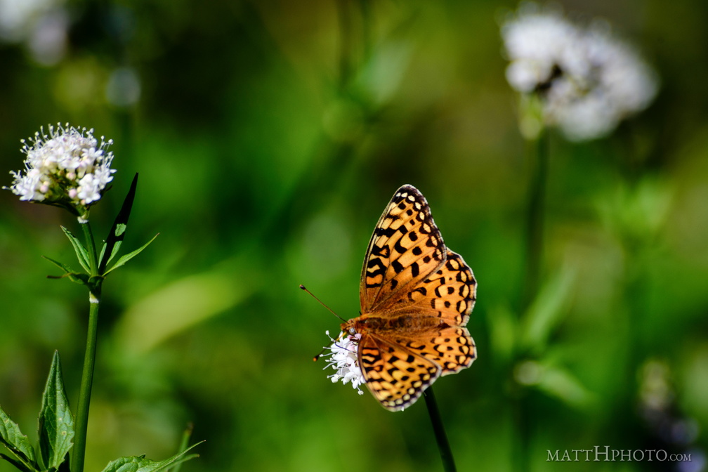 A spot of colour
From Sunrise Point (6130ft), Mount Rainier National Park. -
 Zombie (Don the Beachcomber)
Prototypical Tiki drink from 1934; 3 kinds of rum, grapefruit, cinnamon, lime. -
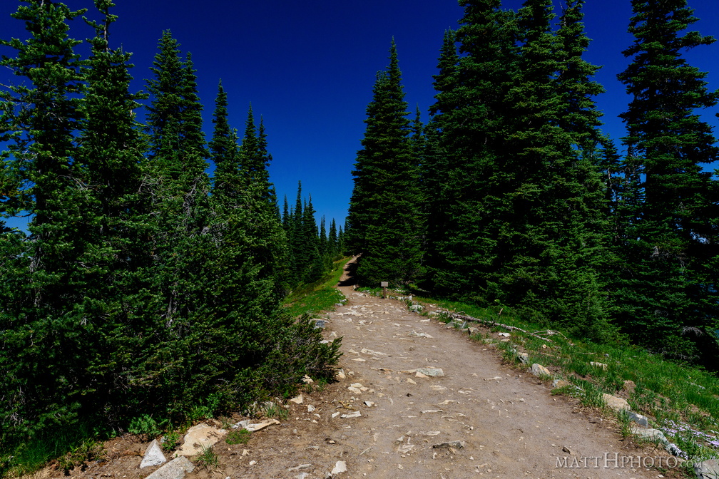 Palisades Lakes Trail
View from Sunrise Point, Mount Rainier National Park -
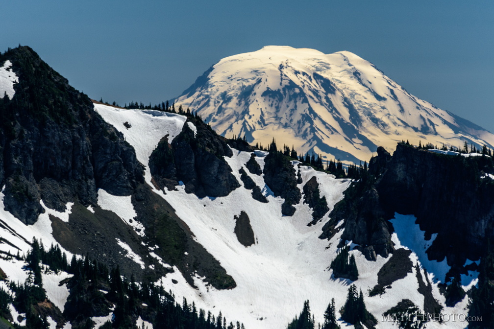 Mount Adams (from Rainier)
View from Sunrise Point, Mount Rainier National Park. Barrier Peak is in the foreground. -
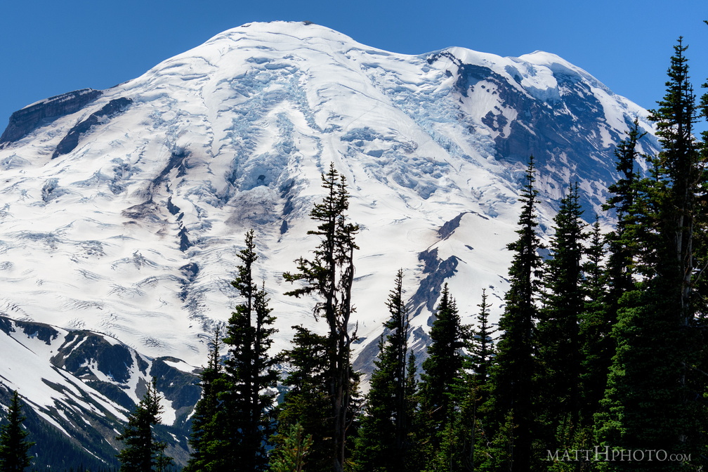 Sunrise Point
View from Sunrise Point, Mount Rainier National Park -
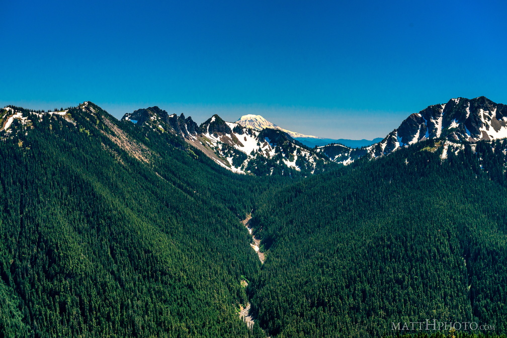 South from Sunrise Point
View from Sunrise Point, Mount Rainier National Park. Mount Adams is in the distance; in the foreground are Governors Ridge, Barrier Peak, and Tamanos Mountain. -
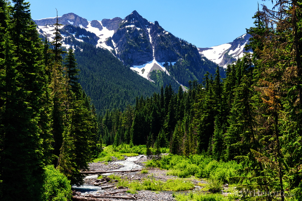 Fryingpan Creek to Banshee Peak
Fryingpan Creek, from the Sunrise Road bridge, with Banshee Peak and Sarvant Glacier in the distance. -
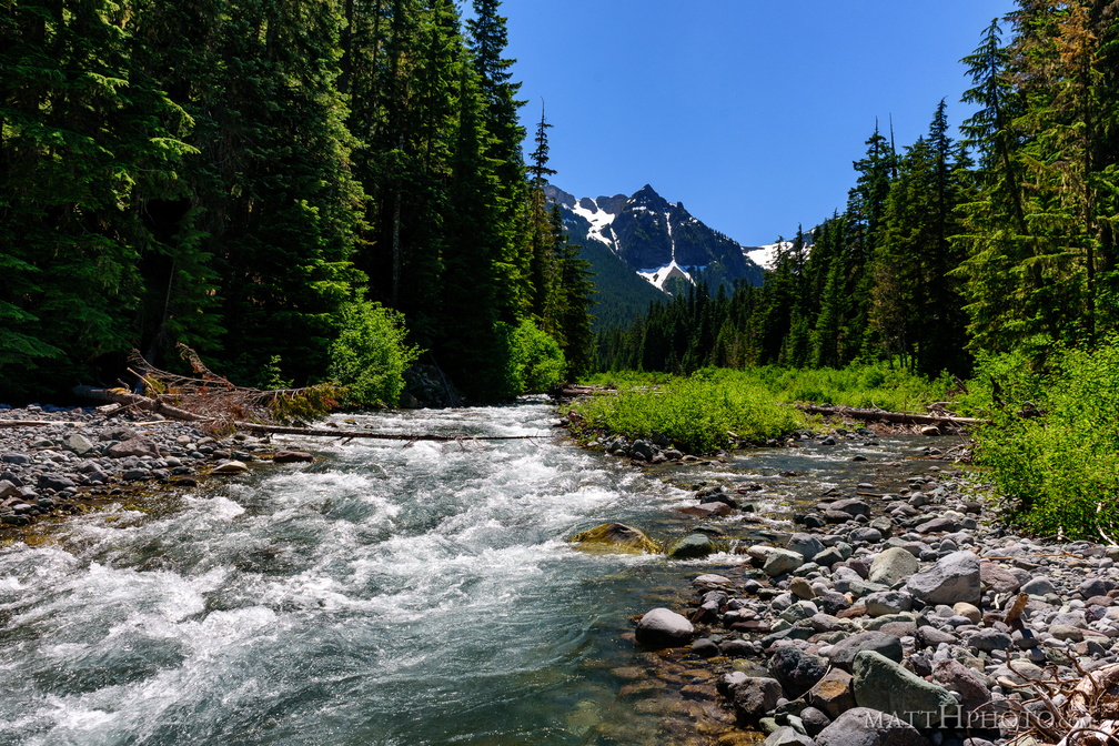 Fryingpan Creek to Banshee Peak
Fryingpan Creek, from the Sunrise Road bridge, with Banshee Peak and Sarvant Glacier in the distance. -
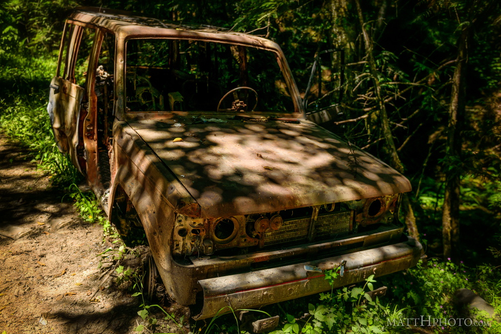 Going Nowhere Solo
-
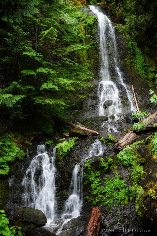 Falls Creek Falls
Mount Rainier National Park, east side -
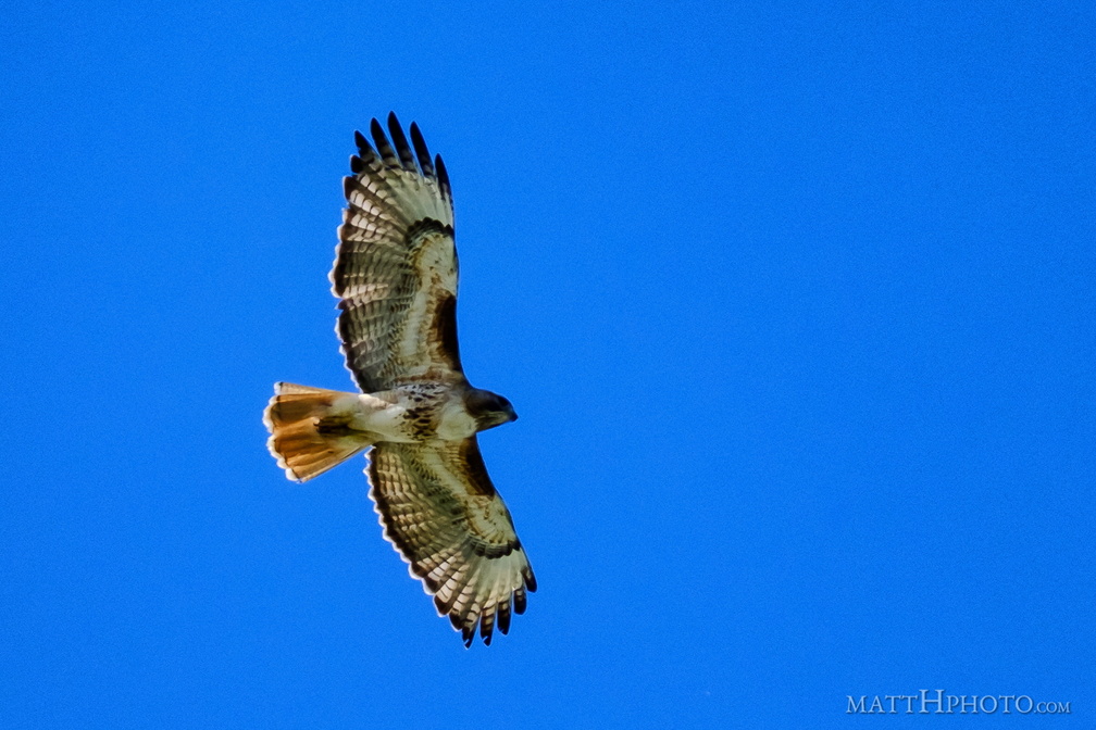 Above us, Osprey
-
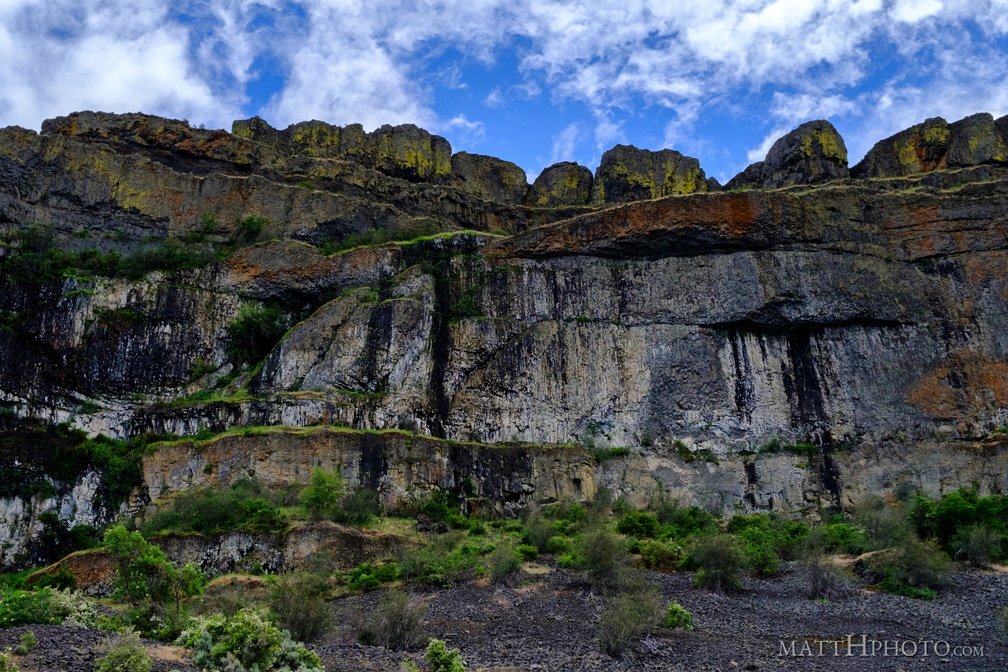 Teeth of the Coulee
Grand Coulee, alongside Banks Lake -
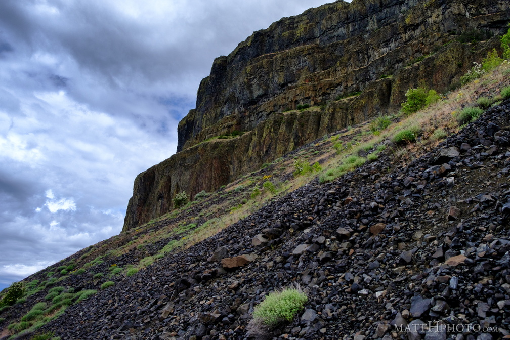 Grand Coulee
-
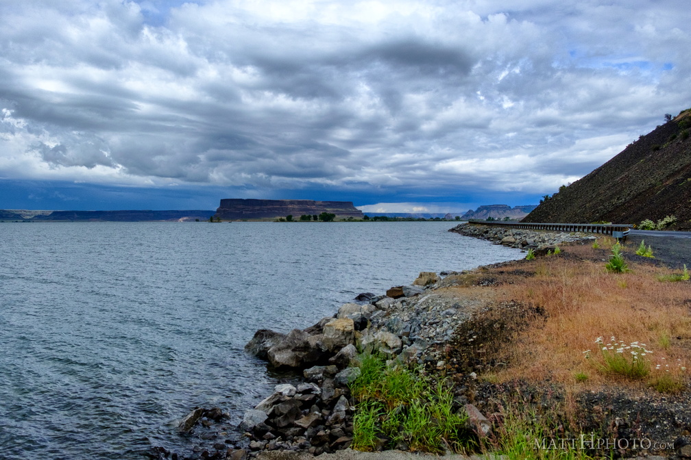 Banks Lake
-
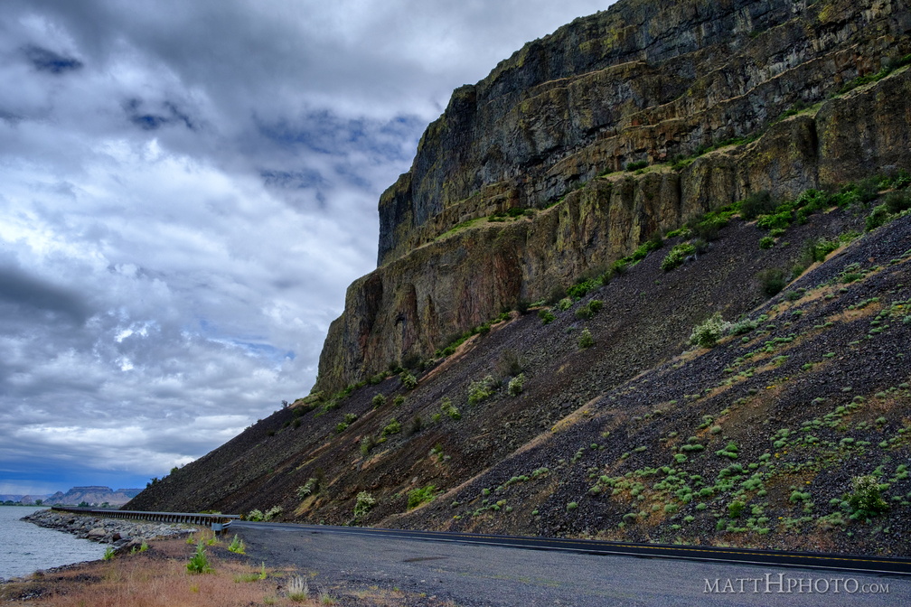 Grand Coulee
-
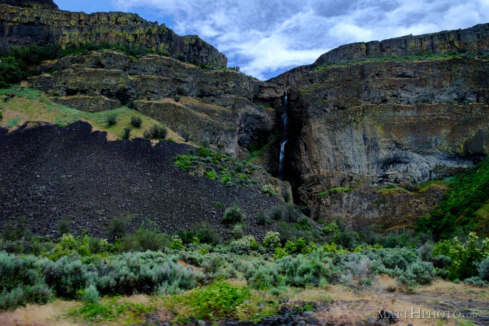 Grand Coulee
-
 Learning to Crow
young crow learning to fly in a Seattle parking lot