
-
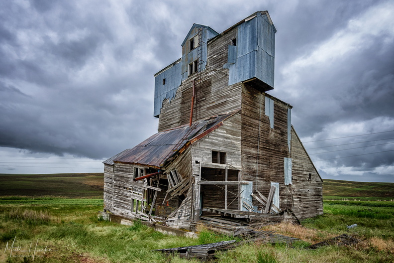 Dead Inside
Abandoned granary south of Pullman, Washington. -
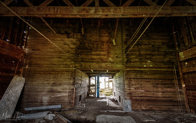 Decline: Within
Inside the abandoned granary (see previous photo) -
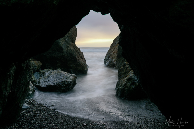 Olympic Keyhole
Ruby Beach, Olympic Peninsula. -
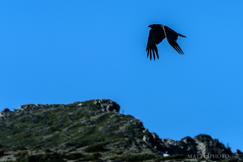 Rainier Raven
It's a corvid. -
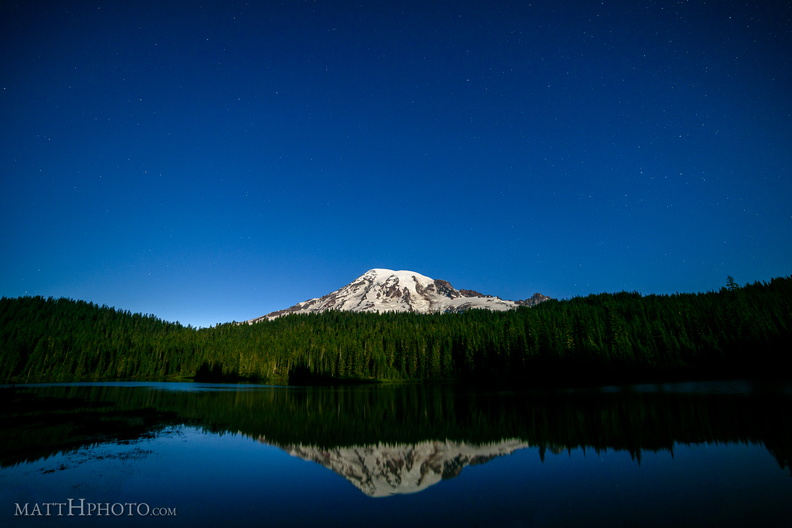 Glaciers in Moonlight
Mount Rainier at Reflection Lake in the light of the full moon -
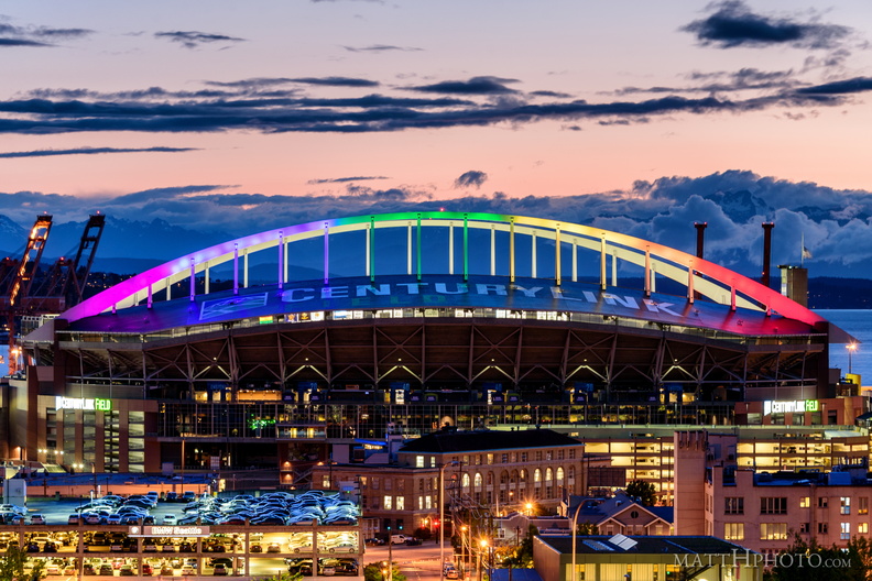 Pride and Sorrow
Seattle's Centurylink Field, after the Orlando massacre -
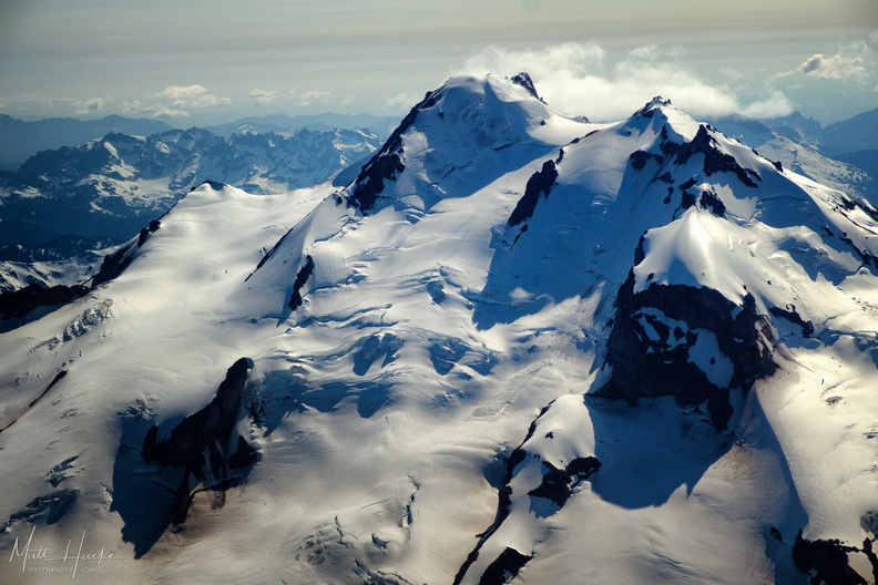 top of glacier peak
-
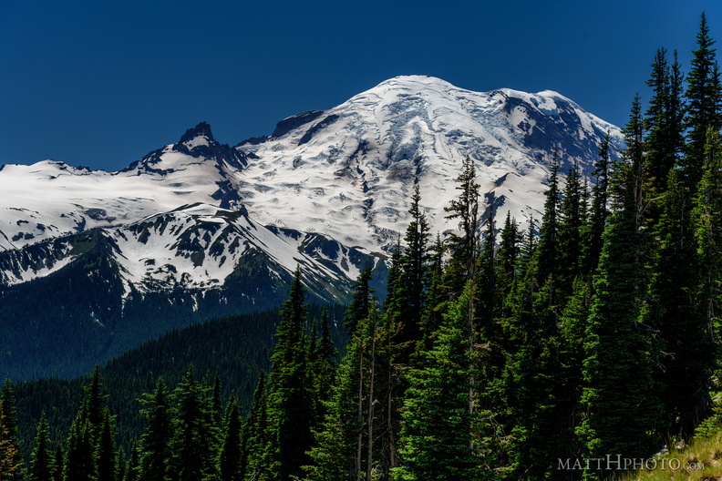 From Sunrise Point, the Mountain
-
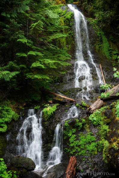 Falls Creek Falls
Mount Rainier National Park, east side -
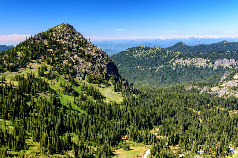 McNeeley Peak
McNeeley Peak (6786 feet) and Huckleberry Basin, seen from Sourdough Ridge Trail, west of Sunrise Visitor Center. -
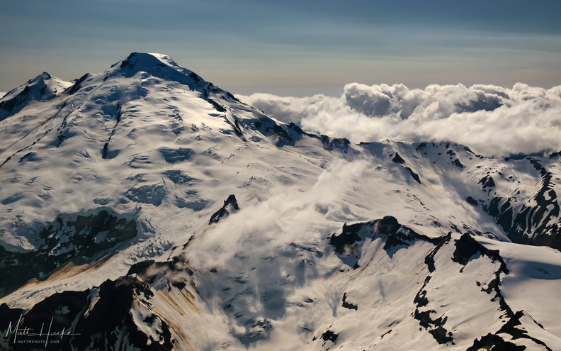 East of Mount Baker
-
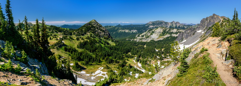 McNeeley Peak
McNeeley Peak (6786 feet) and Huckleberry Basin, seen from Sourdough Ridge Trail, west of Sunrise Visitor Center. -
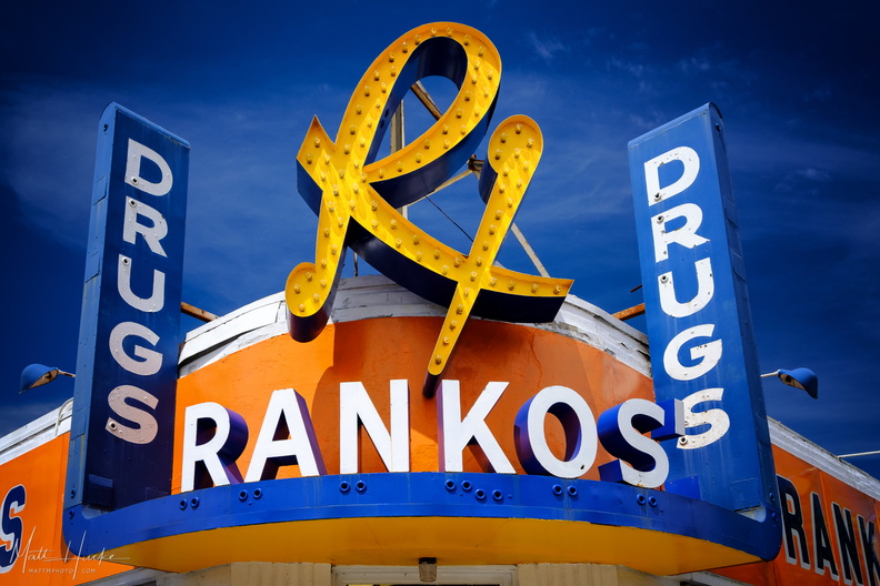 Rankos Drugs
-
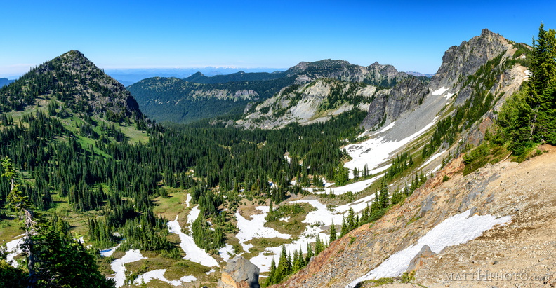 McNeeley Peak
McNeeley Peak (6786 feet) and Huckleberry Basin, seen from Sourdough Ridge Trail, west of Sunrise Visitor Center. -
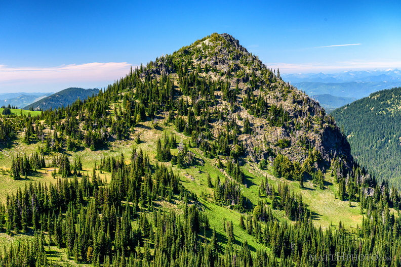 McNeeley Peak
McNeeley Peak (6786 feet) and Huckleberry Basin, seen from Sourdough Ridge Trail, west of Sunrise Visitor Center. -
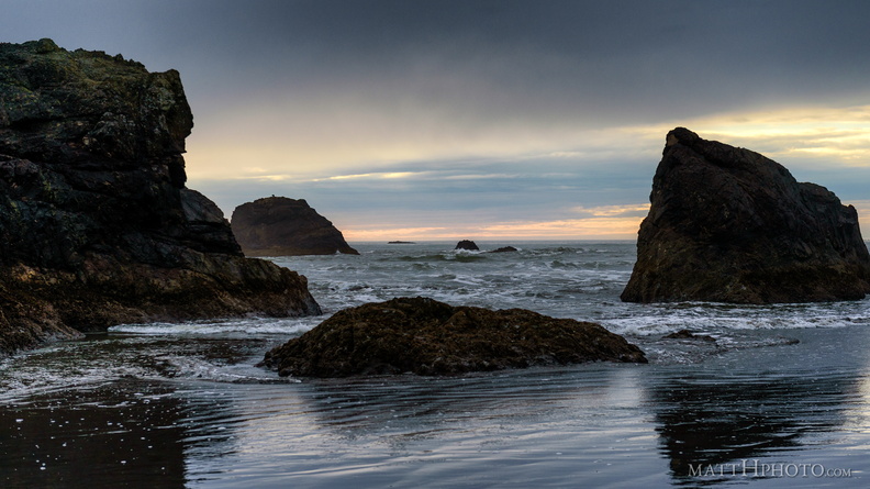 Peaceful sea (Pacific)
Ruby Beach (Olympic National Park) -
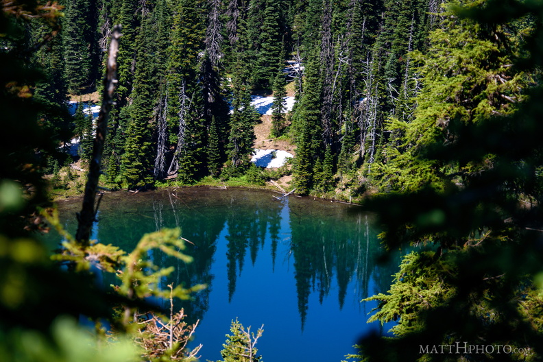 Sunrise Lake
Sunrise Lake (5730 ft), looking north from Sunrise Point (6130ft), Mount Rainier National Park. -
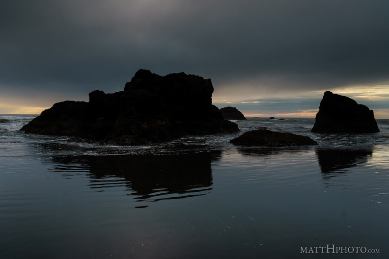 South Rocks
Ruby Beach (Olympic National Park) -
 Sunrise Lake
From Sunrise Point (6130ft), Mount Rainier National Park. -
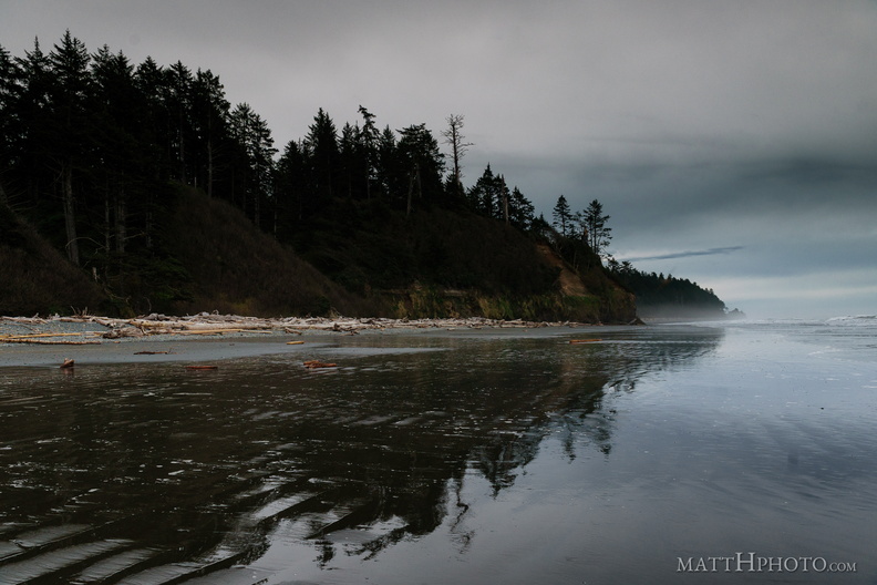 Land, mirrored
Ruby Beach (Olympic National Park) -
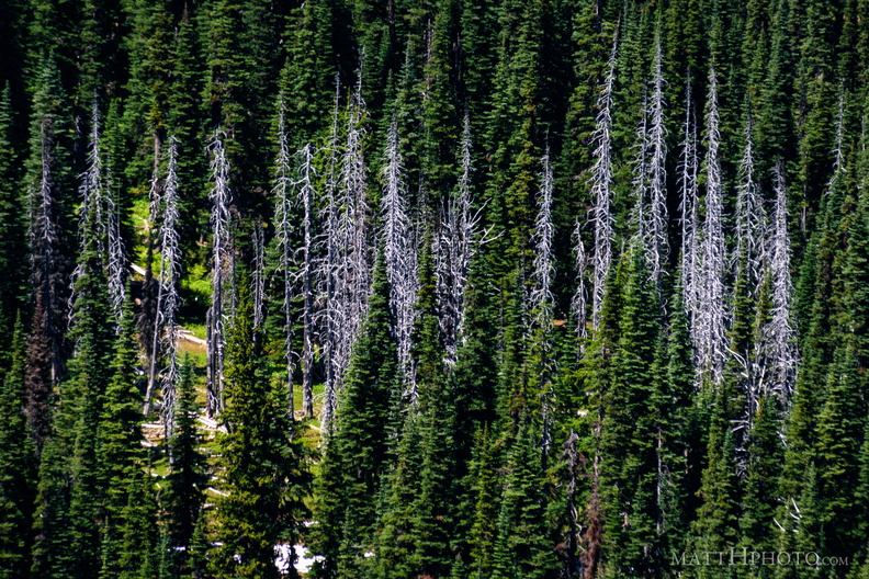 Snags
Snags
Standing dead trees, looking north from Sunrise Point (6130ft), Mount Rainier National Park. -
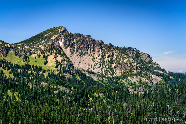 Palisades Peak
Palisades Peak (7000ft), named for it columnar basalt formations resembling a defensive wall. Looking northwest from Sunrise Point (6130ft), Mount Rainier National Park. At right, Mount Baker can be seen on the horizon, about 125 miles north. -
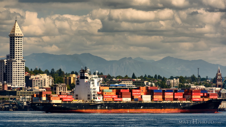 Containers in Seattle
-
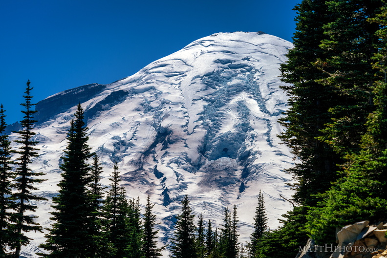 Rainier from Sunrise Point
Rainier summit, looking west from Sunrise Point (6130ft), Mount Rainier National Park. -
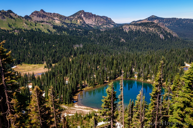 Sunrise Lake and Palisades Peak
Marcus Peak and Palisades Peak, above Sunrise Lake. Looking north from Sunrise Point (6130ft), Mount Rainier National Park. -
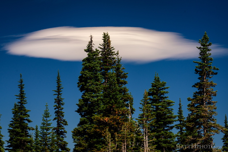 Lenticular
Lenticular cloud, looking east from Sunrise Point (6130ft), Mount Rainier National Park. -
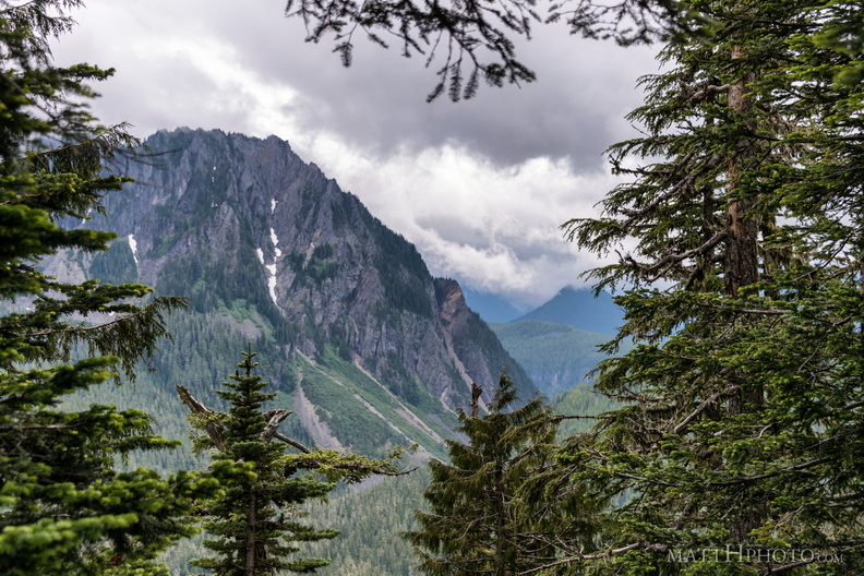 Eagle, between the trees
Eagle Peak (5958ft) from Inspiration Point, Stevens Canyon Road, in Mount Rainier National Park -
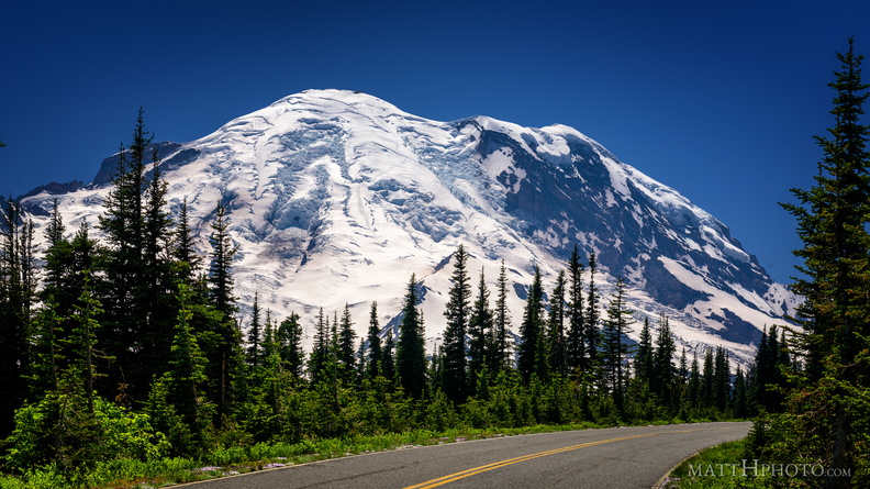 Sunrise Road
-
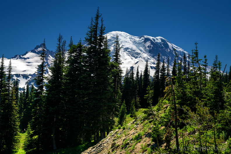 Sunrise Road
-
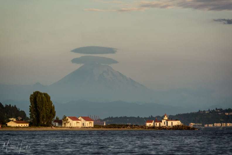 West Point
West Point Lighthouse, Seattle -
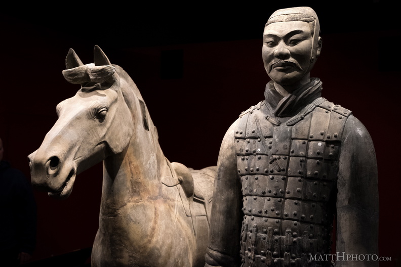 Cavalryman
Terra cotta figure from tomb of first emperor of China, ~200 BC. -
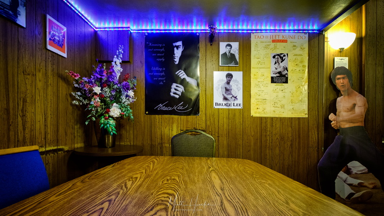 My Dinner with Bruce
Bruce Lee's table at Tai Tung restaurant, Seattle. After he became famous he would always sit at this table in a secluded corner of the restaurant, near the bathrooms. There was a curtain that could be drawn for privacy. After his death in 1973 the table was decorated with photos, posters, and a cardboard cutout of Lee, in his memory. -
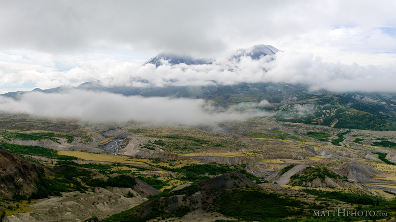 Cloud Saint Helens
Mount Saint Helens hidden in a cloud all day - this was the clearest shot I got of the mountaintop, and within minutes it was gone again. -
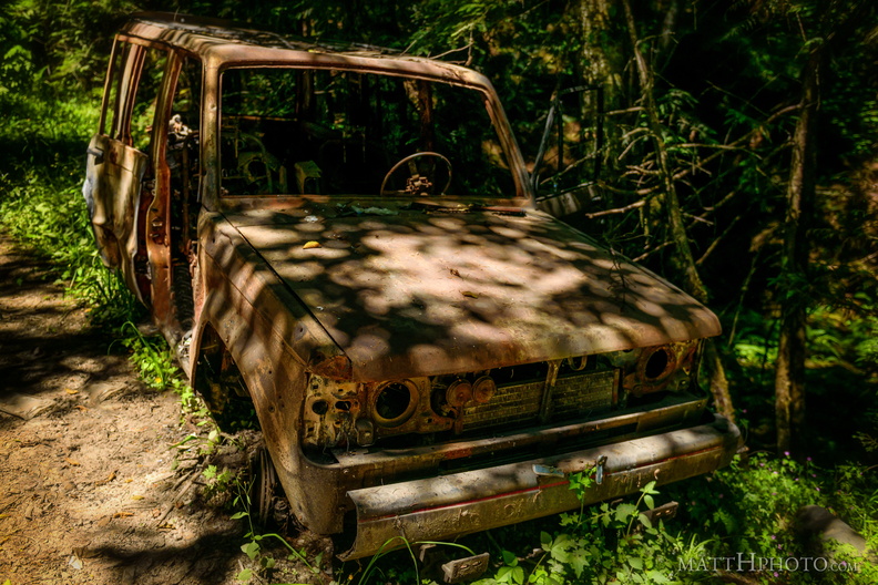 Going Nowhere Solo
-
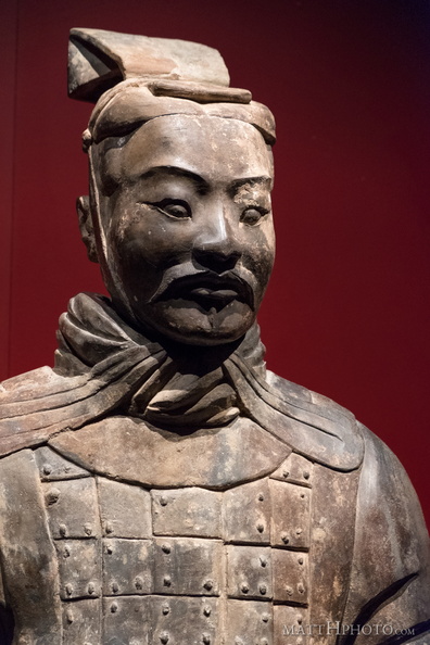 In the Service of the Emperor
Terra cotta figure from tomb of first emperor of China, ~200 BC. -
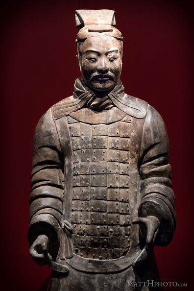 Officer
Terra cotta figure from tomb of first emperor of China, ~200 BC. -
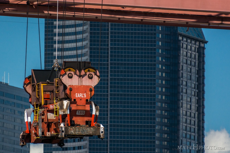 Earl handles the cargo
Container gripping mechanism at the Port of Seattle -
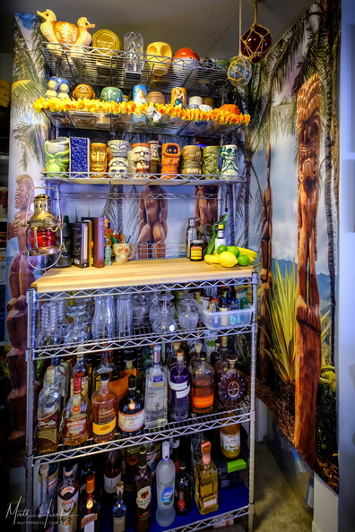 Look to the West
My home Tiki bar. -
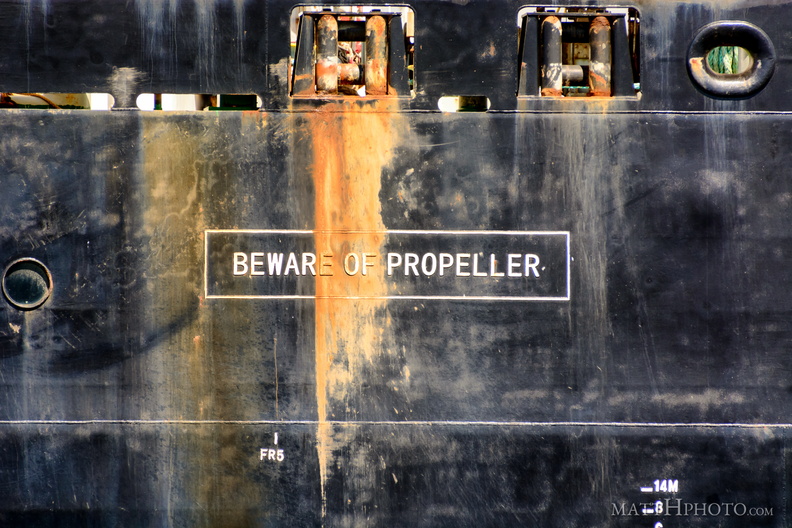 Beware of Propeller. Beware!
-
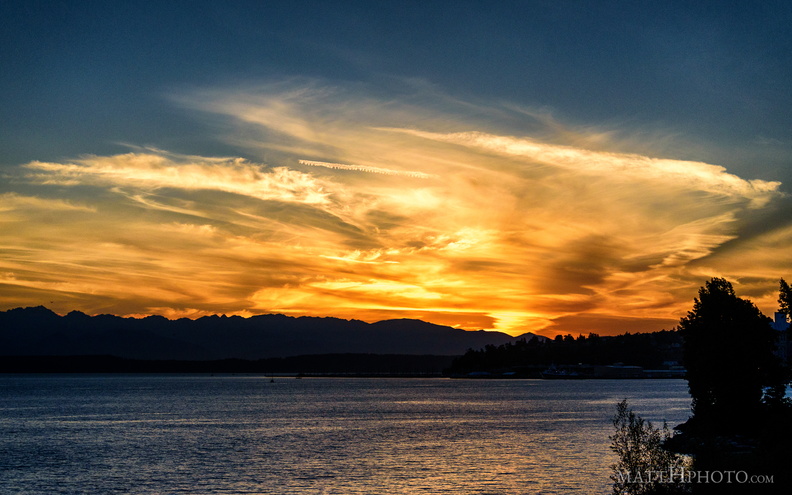 Puget's Gold II
-
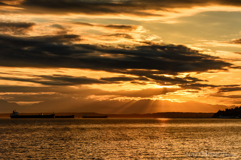 that orange sound
-
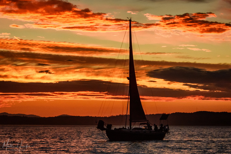 The Black Sloop
-
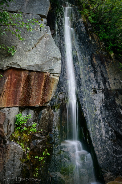 Waterfall by Louise Lake
Tiny waterfall, unknown name, across the road from Louise Lake at Mount Rainier. -
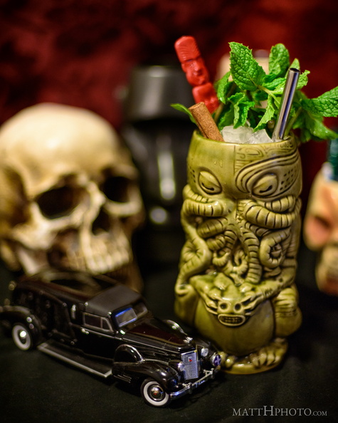 Zombie (Don the Beachcomber)
Prototypical Tiki drink from 1934; 3 kinds of rum, grapefruit, cinnamon, lime. -
 Lake Crescent and Pyramid Mountain
Looking north across Lake Crescent at Pyramid Mountain. Mount Storm King is in the distance, right of center, and Aurora Peak rises on the right side of the frame. Panorama merge from 9 images, 18mm (crop sensor; 27mm equiv). Field of view is about 200 degrees. -
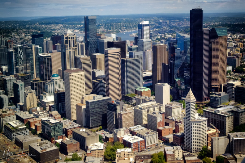 you can always go (over) downtown
-
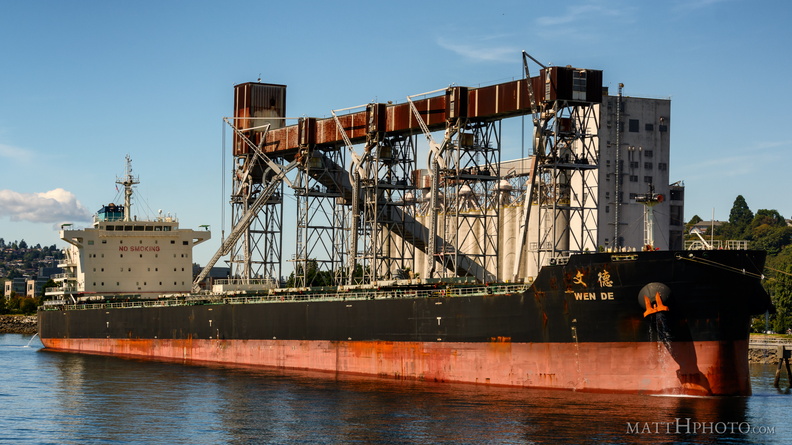 Grain goes to China
-
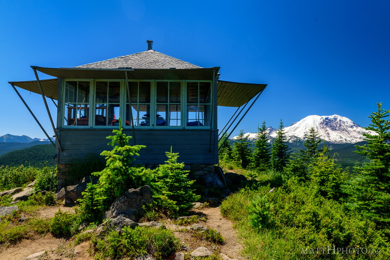 Sun Top Fire Lookout
Built 1934, elevation 1 mile (5280 feet). -
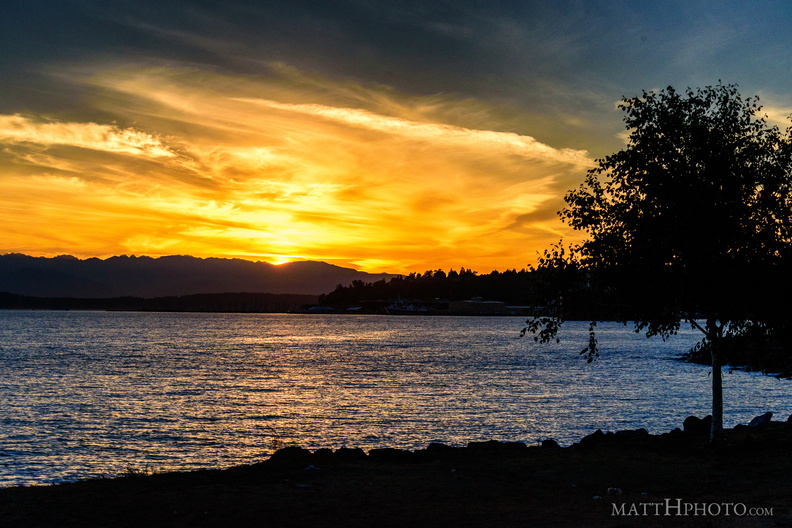 Puget's Gold
-
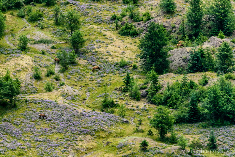 In the blasted zone
Elk grazing on lupine in the blast zone of Mount Saint Helens. 400mm and cropped 50%, from Johnston Ridge