« Saturday

-
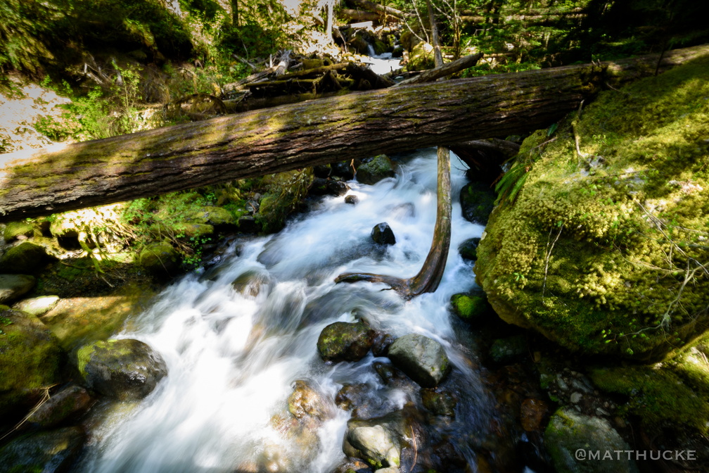 Laughingwater Creek
So called because of the way the water bounces and gurgles in the rocky cascade. -
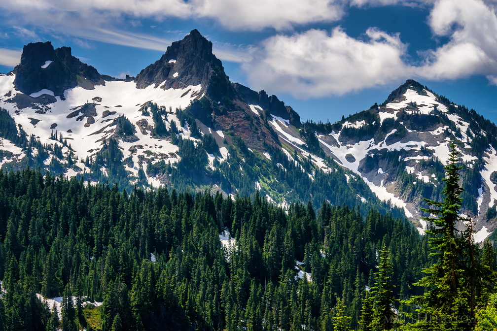 Pinnacle of the Tatoosh
Left to right, an unnamed peak, Pinnacle Peak, and Plummer Peak, of the Tatoosh Range. -
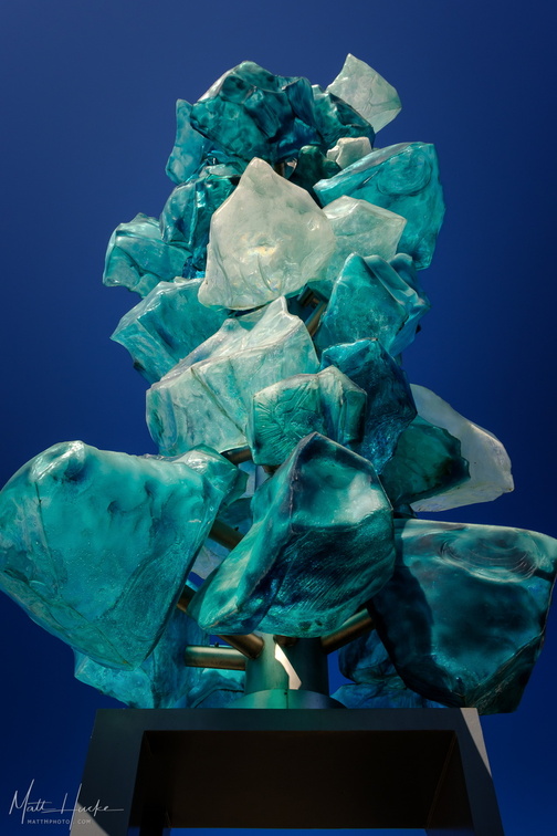 Crystal Tower
-
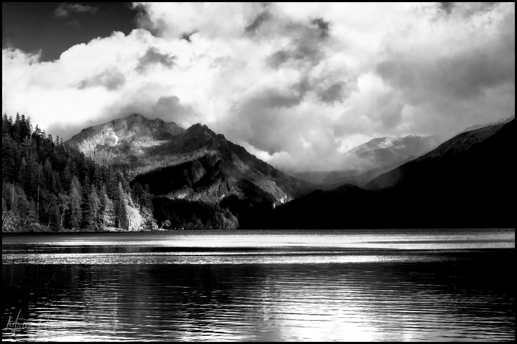 Mount Storm King
Viewed from western end of Lake Crescent. -
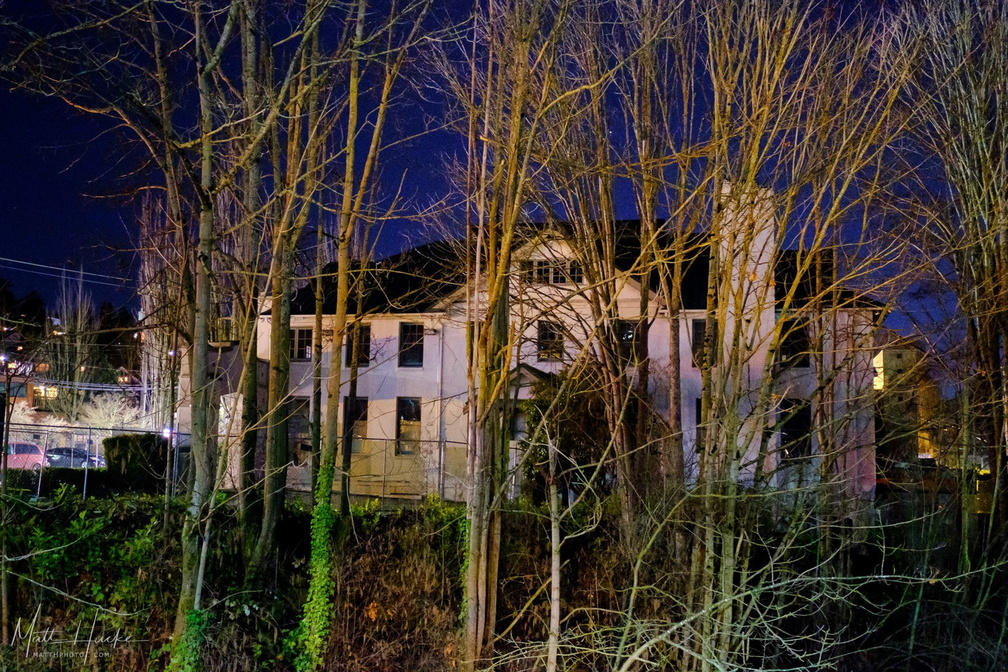 Bleitz Funeral Home
Site of Kurt Cobain's cremation, this funeral home has been shut down and will be demolished. -
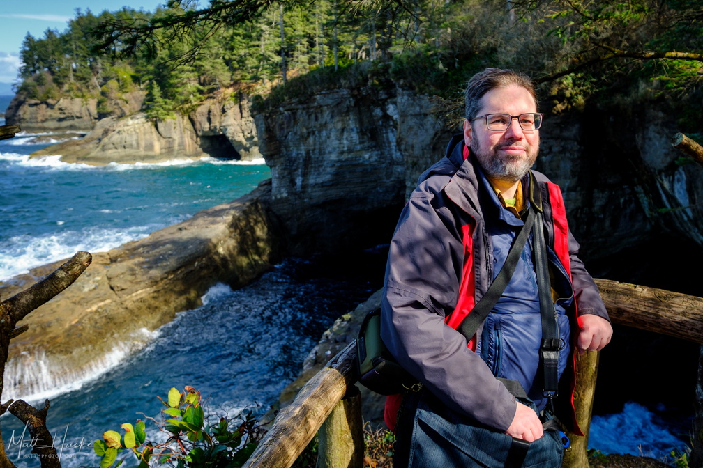 That's Me in the Corner II
-
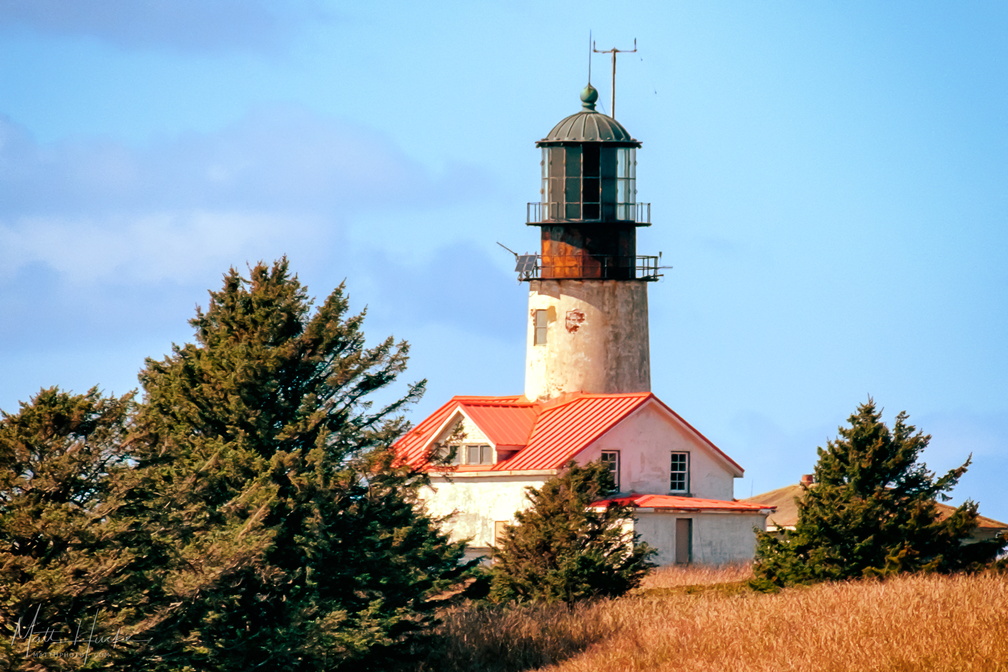 Tatoosh Island Light House
Lighthouse on Tatoosh Island, west of Cape Flattery, northwesternmost point in the contiguous 48 states. -
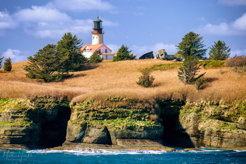 Tatoosh Island Light House
Lighthouse on Tatoosh Island, west of Cape Flattery, northwesternmost point in the contiguous 48 states. -
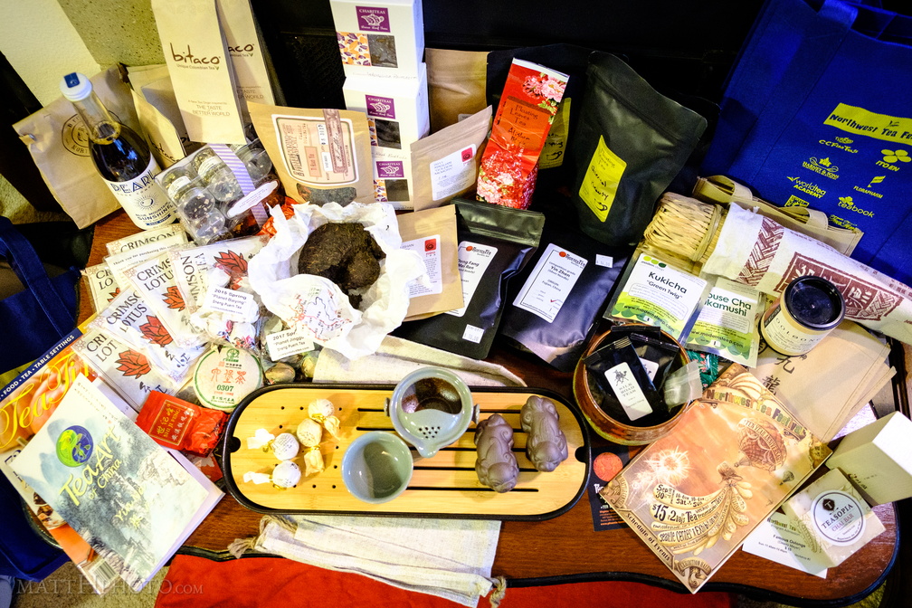 Addiction (2017)
Northwest Tea Festival haul. -
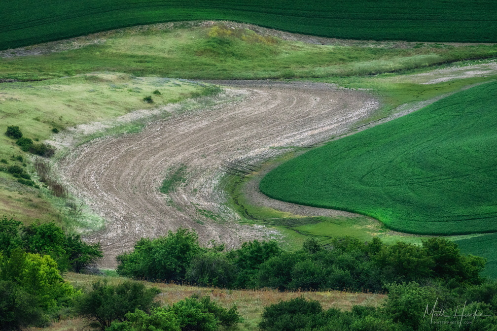 Swoosh
-
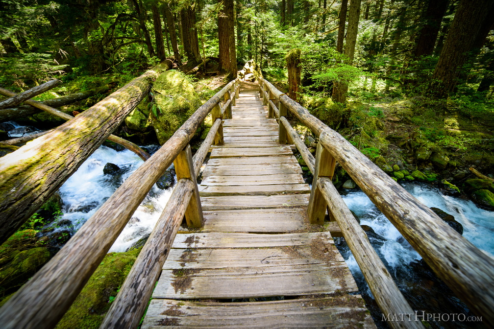 Bridge Over Laughingwater Creek
-
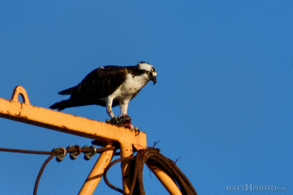 Can't a guy just eat his fish?
-
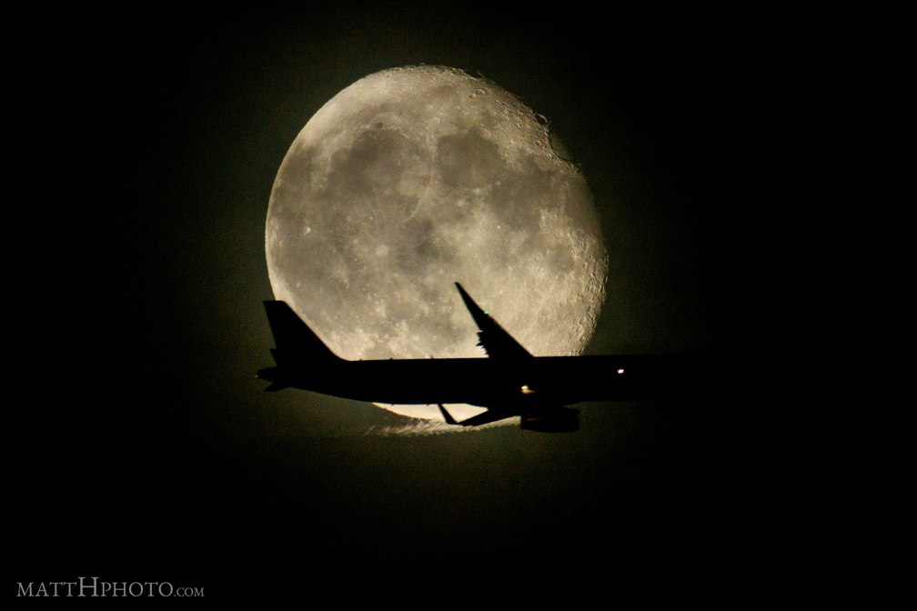 Artificial Eclipse
-
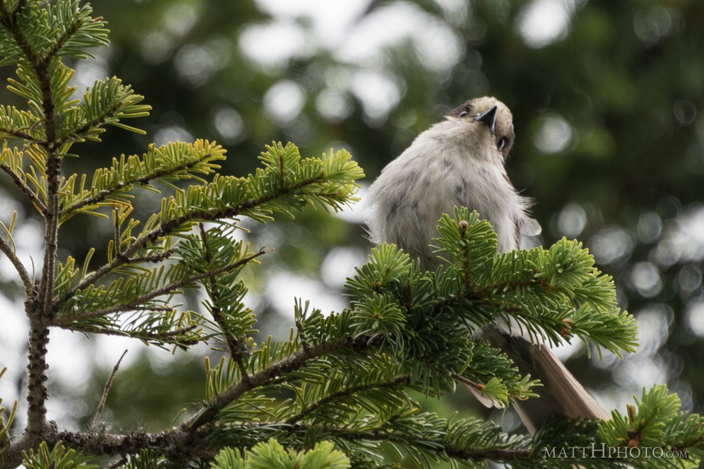 Rainier resident
Bird seen at Inspiration Point, near Paradise, Rainier National Park. If you know the species, please tell me. -
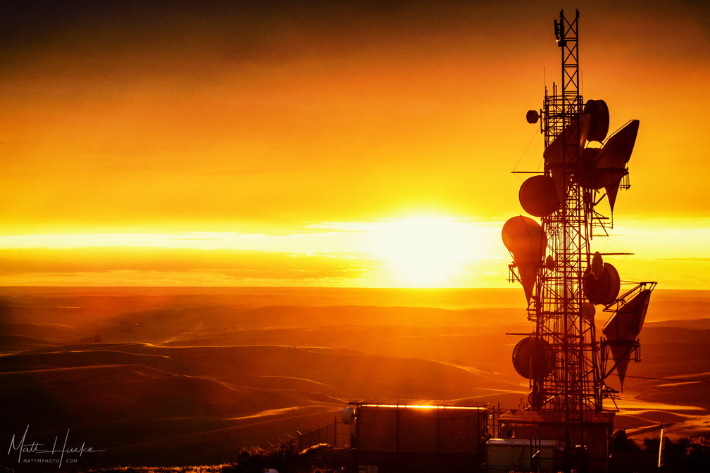 Radio Free Steptoe
-
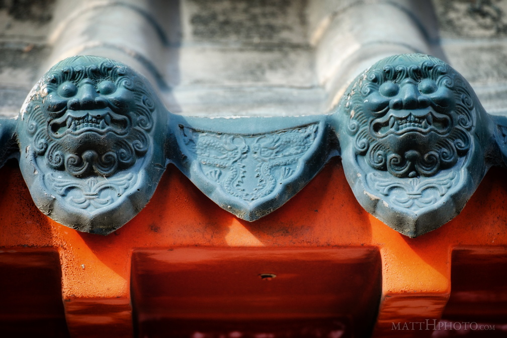 Roof Guardians
Chinese Community Bulletin Board, Seattle International District -
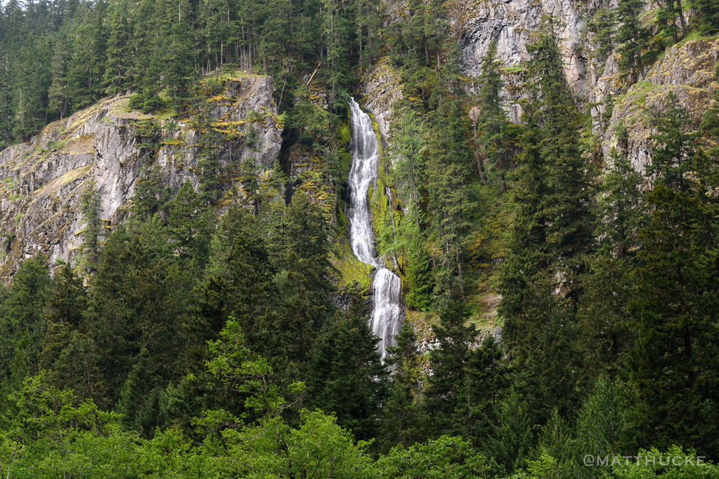 Skookum Falls
-
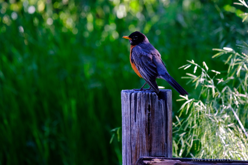 Robin on a post
-
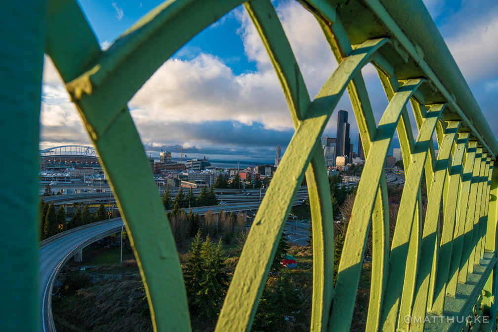 Railing, Jose Rizal Bridge
-
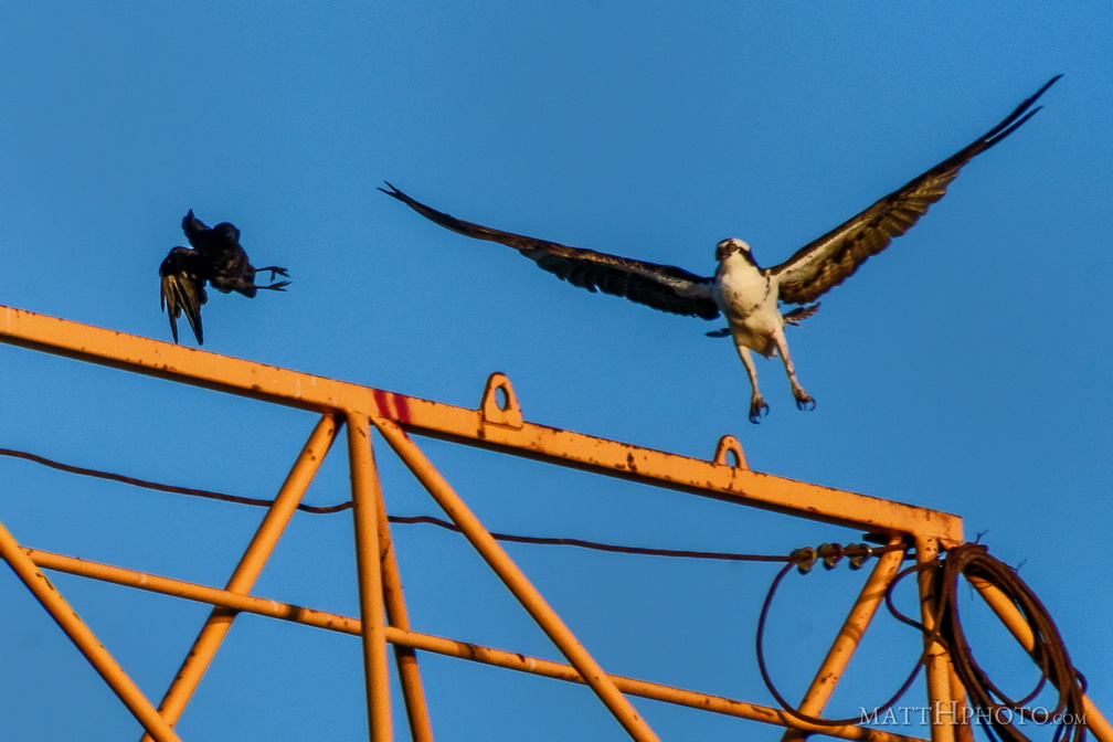 You crows get off my crane!
-
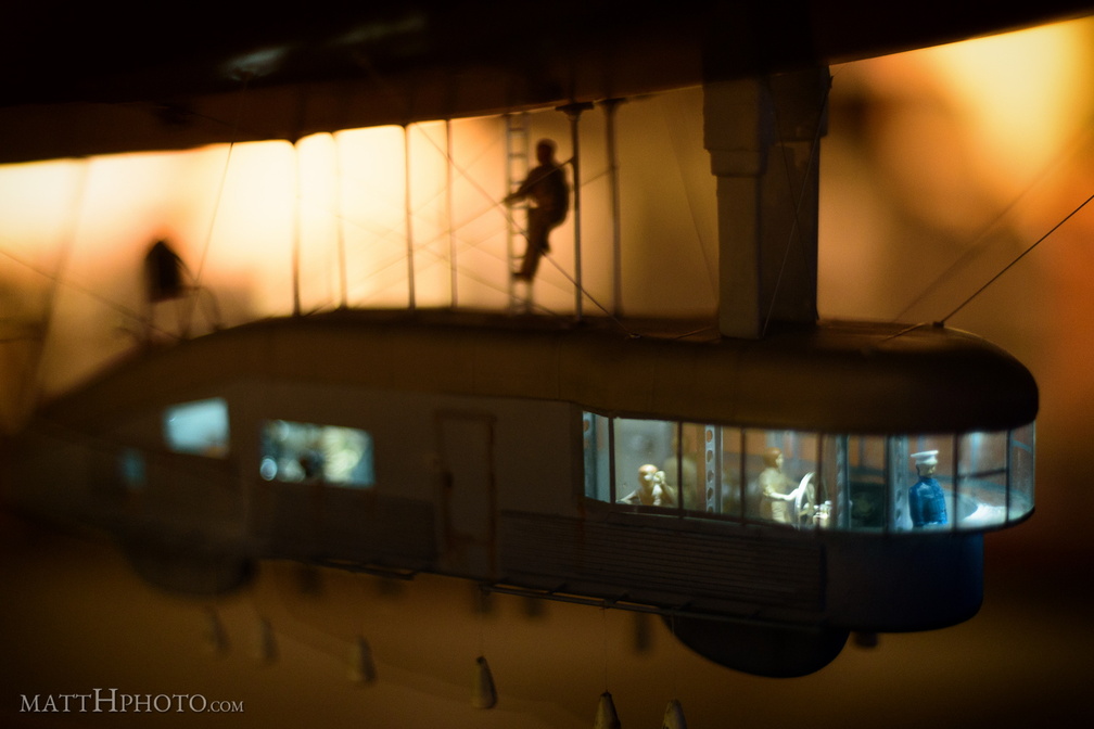 Zeppelin Crew (It's Only a Model)
Zeppelin L30 model, Museum of Flight, Seattle -
 Inverted public market
-
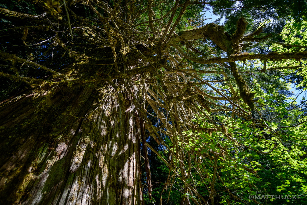 Ancient Cedar
Western Red Cedar at the Grove of the Patriarchs. (The broad bright leaves at lower right belong to another tree that is intertwined with the cedar). -
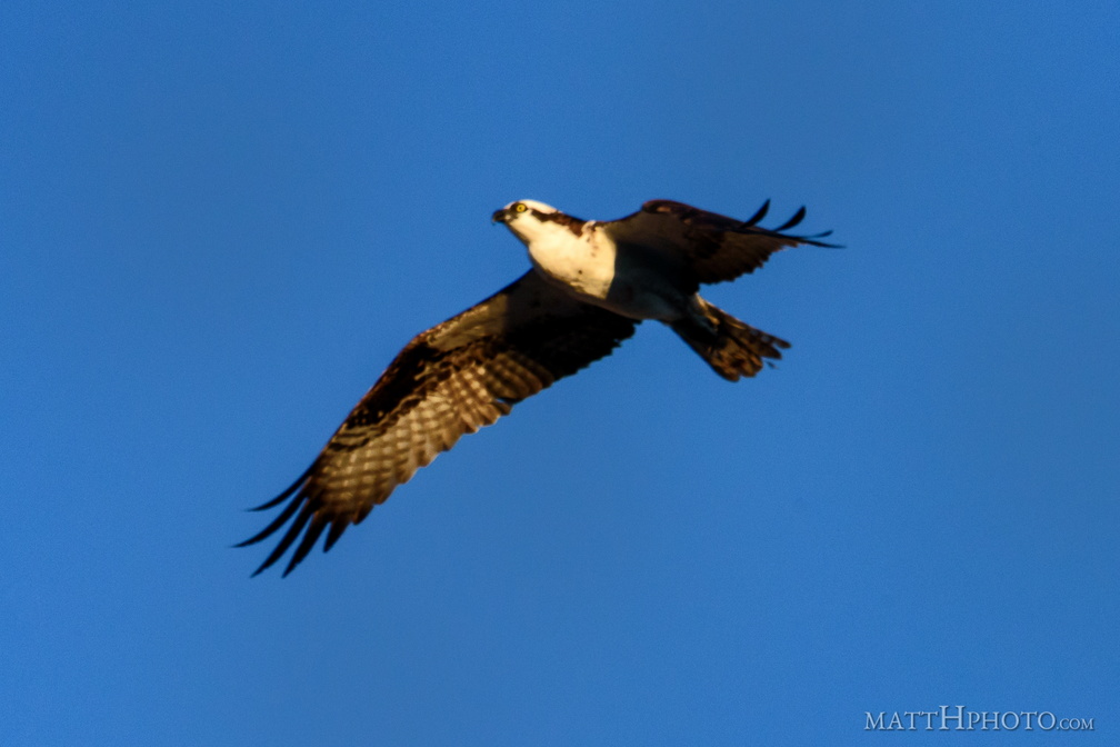 Departure
-
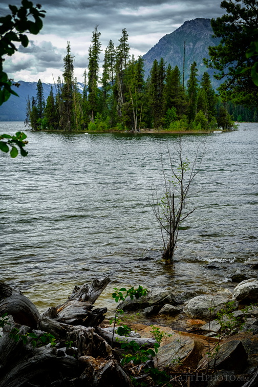 Emerald Island in Lake Wenatchee
-
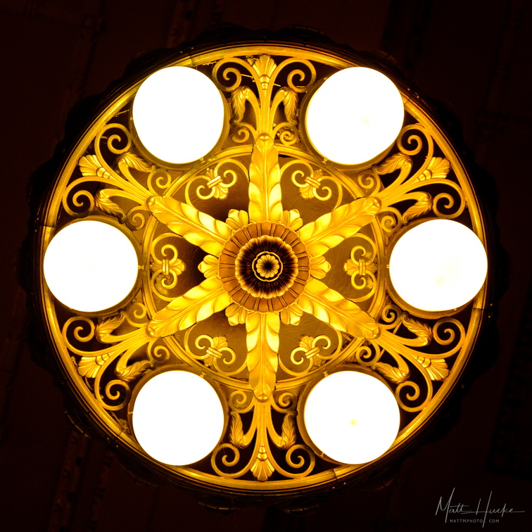 Station Lamp
Light fixture, Portland Union Station -
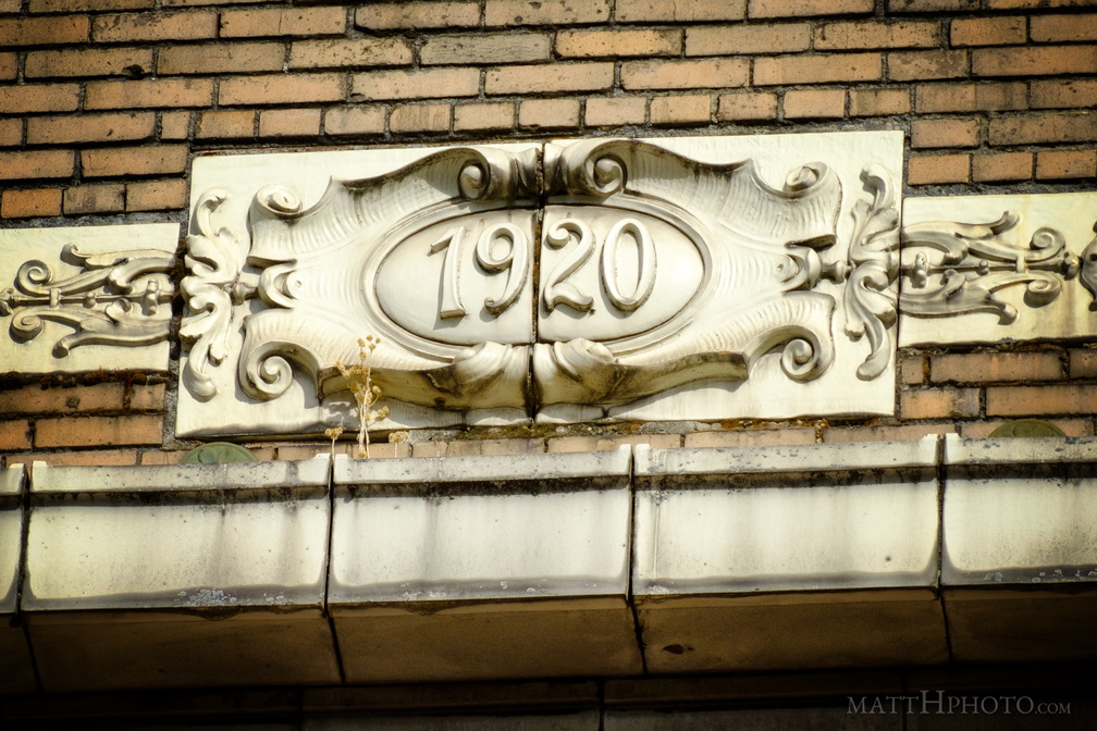 Nineteen Twenty
Medallion under roof line of building in International District, Seattle -
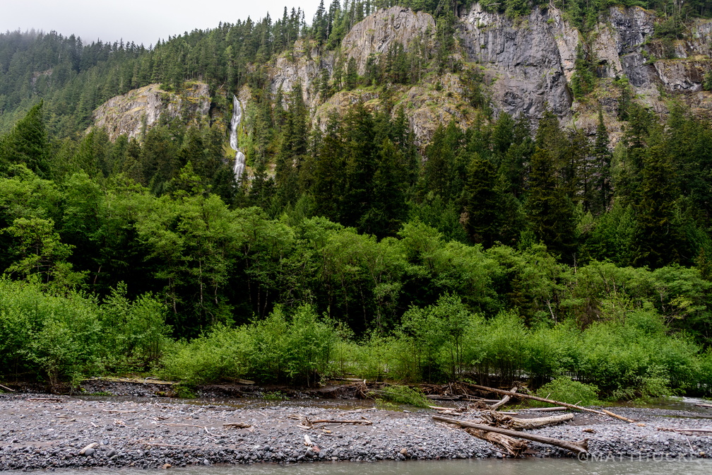 Skookum Falls and White River
-
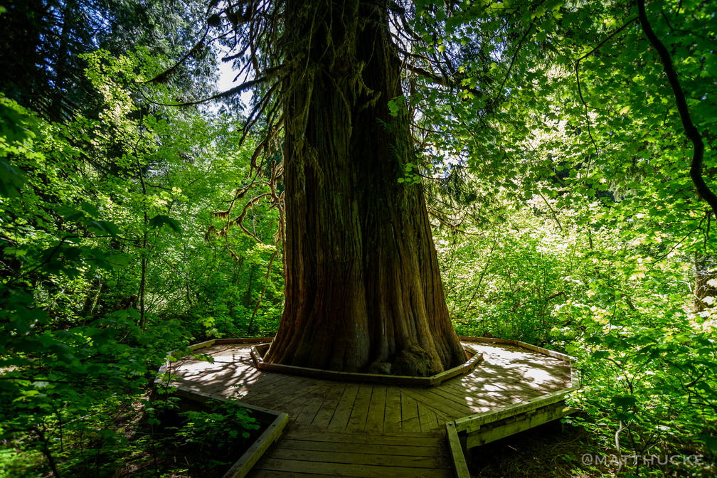 Ancient Cedar
Western Red Cedar at the Grove of the Patriarchs. -
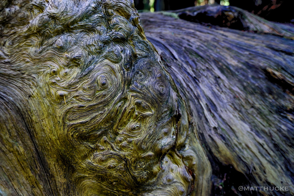 Whorls within whorls
Ring detail of an ancient fallen tree -
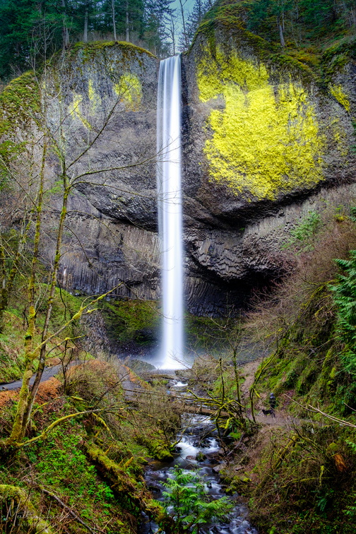 Latourell Falls
244-foot drop -
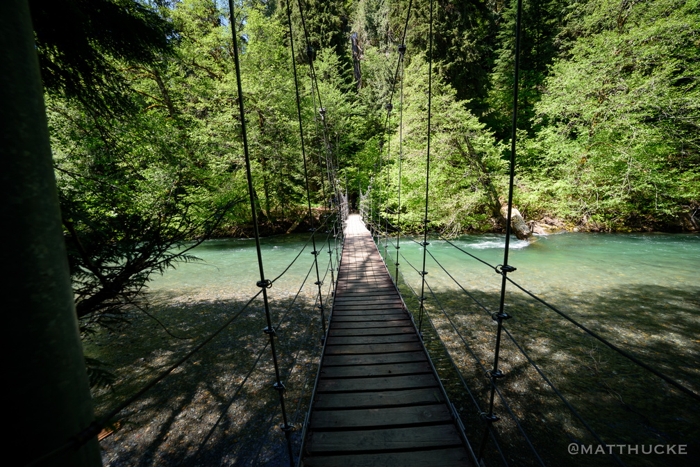 Ohanapecosh crossing
Suspension foot-bridge in Mount Rainier National Park -
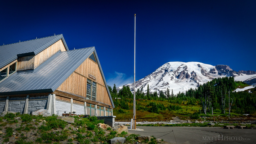 Paradise
Paradise Visitor Center, Mount Rainier -
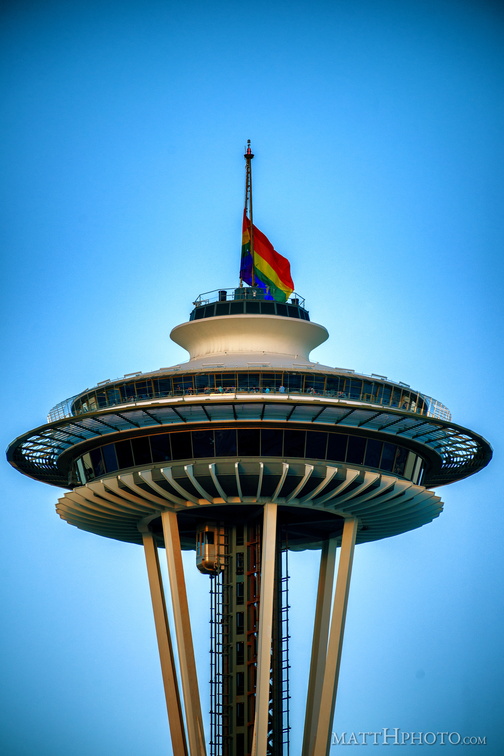 Seattle for Orlando
-
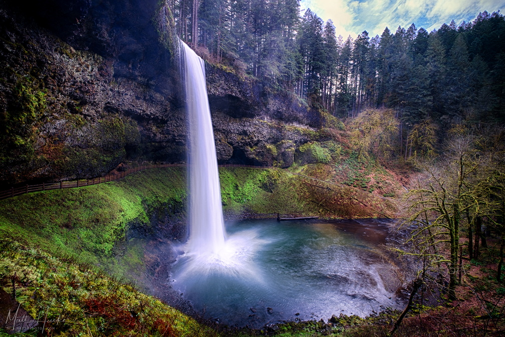 South Falls
-
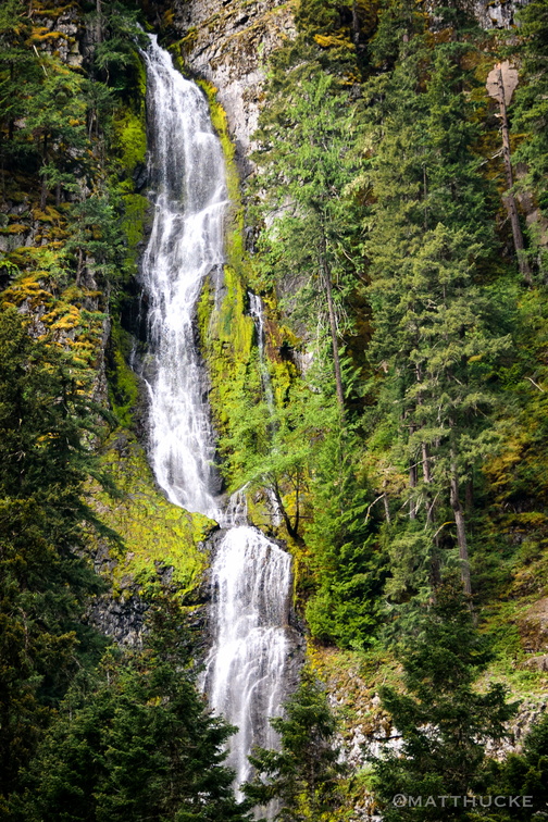 Skookum Falls
Near Mount Rainier -
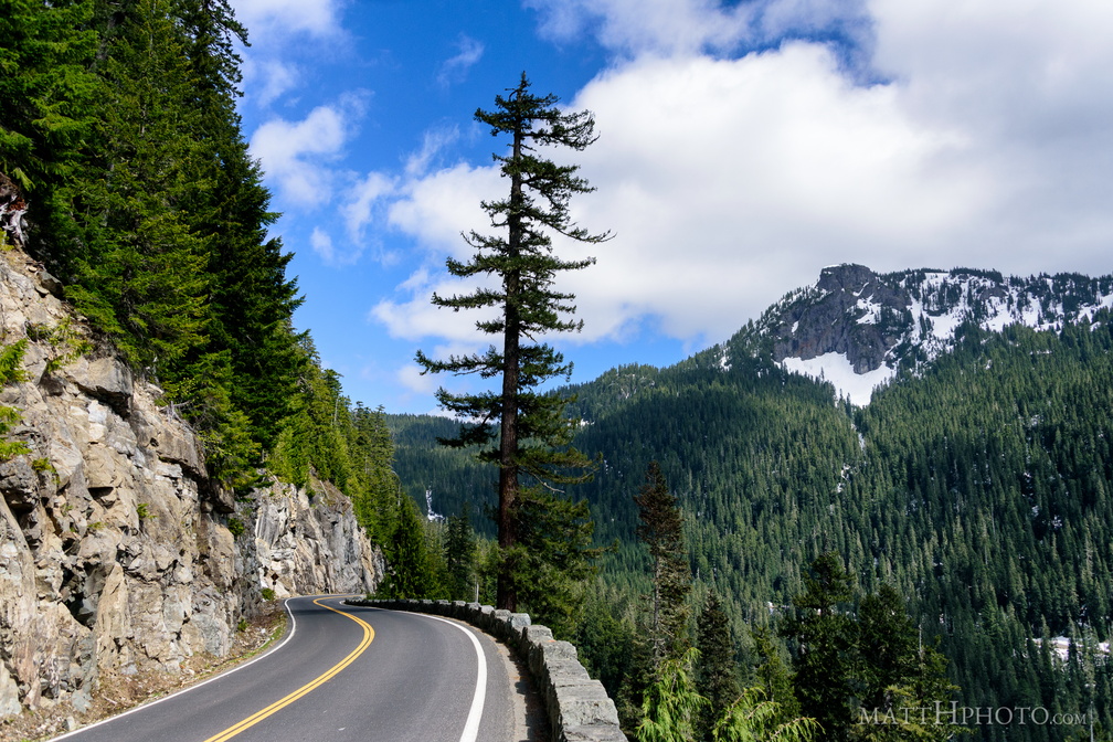 Seymour Peak
As seen from Highway 123, east side of Mount Rainier National Park. 6337 feet. -
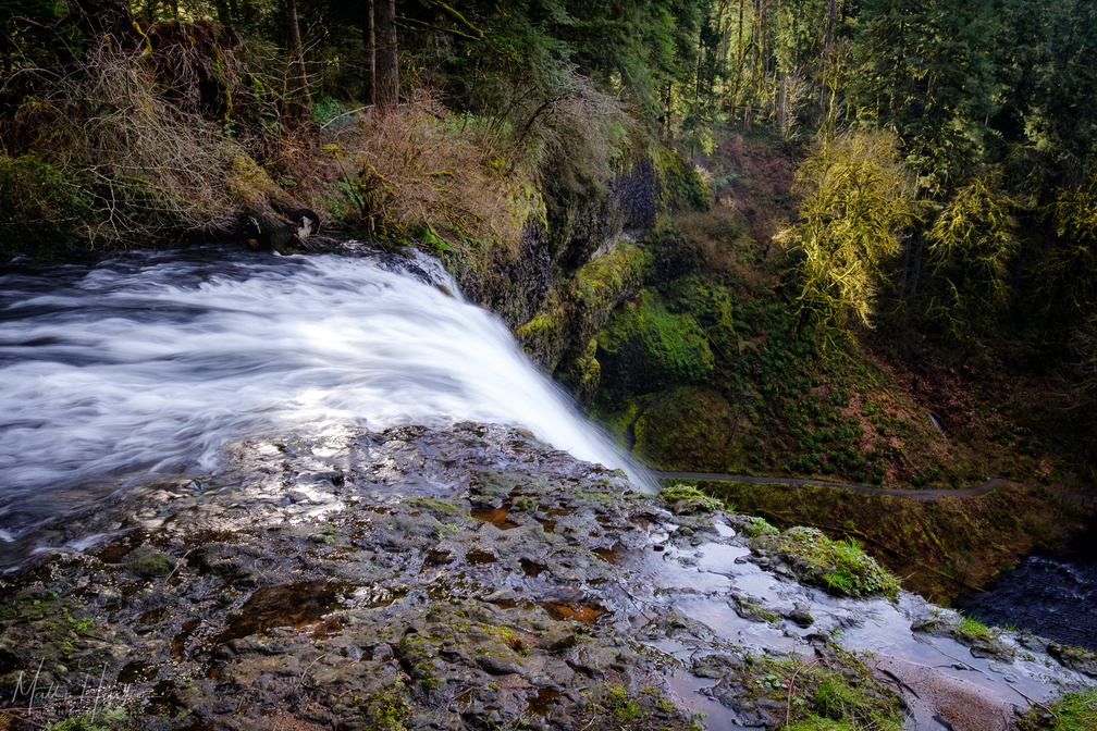 It's a long drop
Top of South Falls, 177 feet above the pool at the base. -
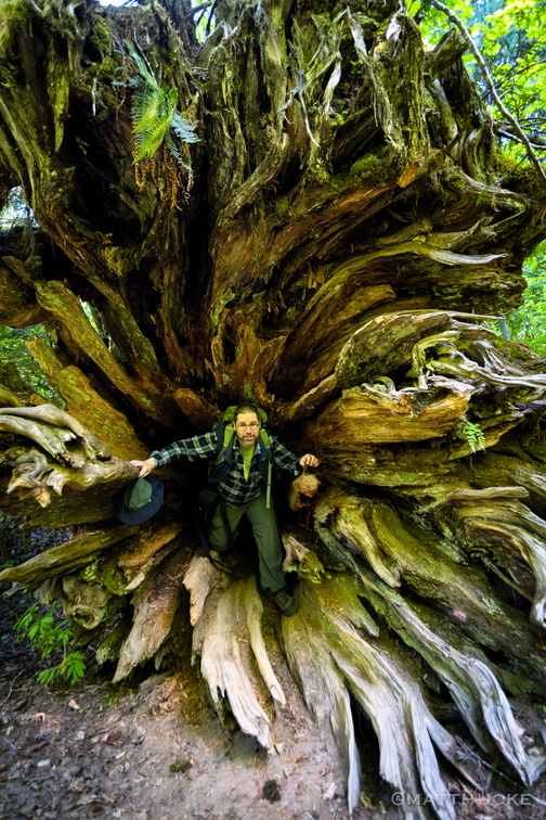 Root Dweller
Me, in the roots of a downed tree at the Grove of the Patriarchs, Mount Rainier National Park (photo by Ben Cade) -
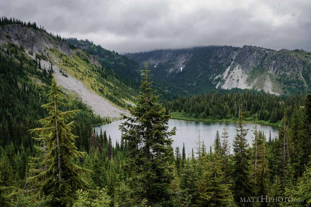 Louise Lake
Louise Lake at Mount Rainier National Park -
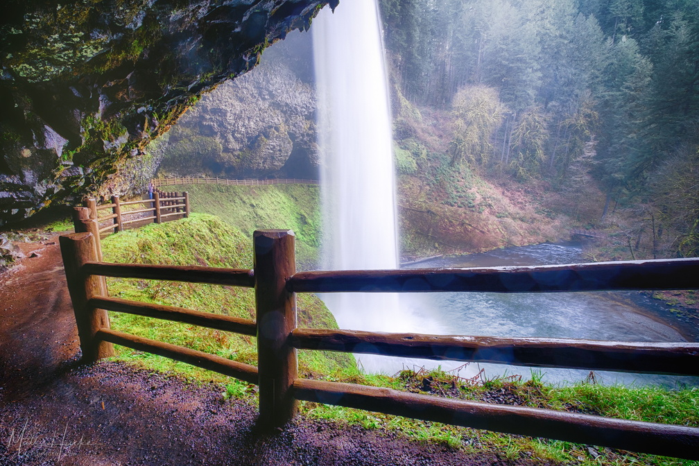 South Falls
-
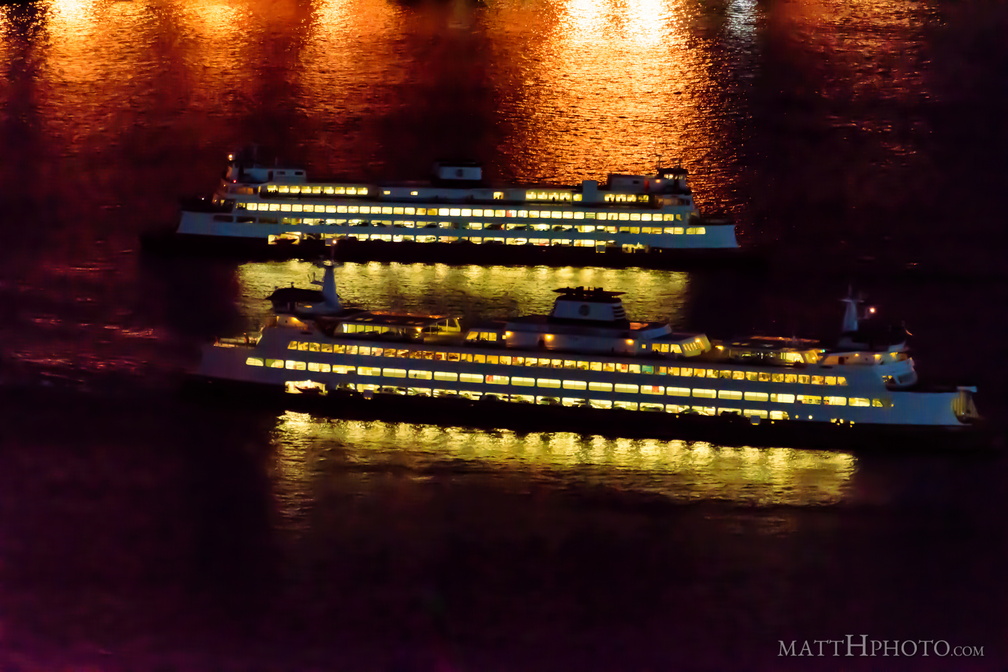 Two ships in the night
Washington State Ferries near Colman Dock, Seattle. Top boat is returning from Bremerton, bottom boat is departing for Bainbridge Island. -
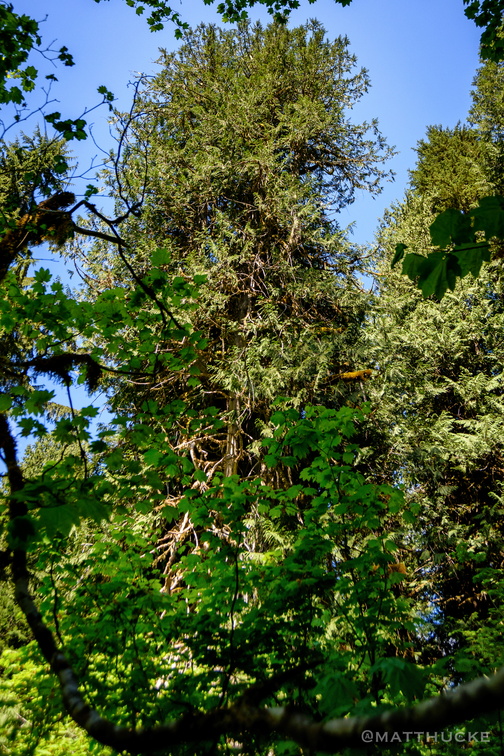 Ancient Cedar
Top of ancient western red cedar. -
 Lake Crescent and Pyramid Mountain
Looking north across Lake Crescent at Pyramid Mountain. Mount Storm King is in the distance, right of center, and Aurora Peak rises on the right side of the frame. Panorama merge from 9 images, 18mm (crop sensor; 27mm equiv). Field of view is about 200 degrees. -
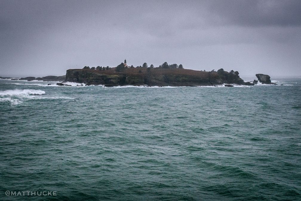 Cape Flattery Light
Tatoosh Island, Cape Flattery -
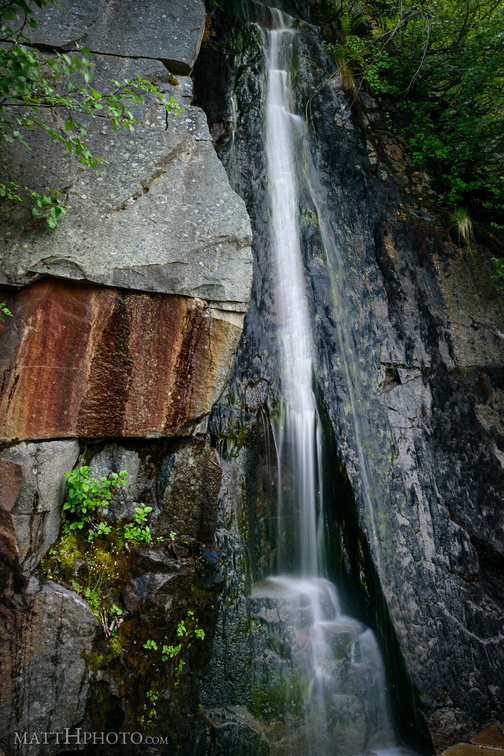 Waterfall by Louise Lake
Tiny waterfall, unknown name, across the road from Louise Lake at Mount Rainier. -
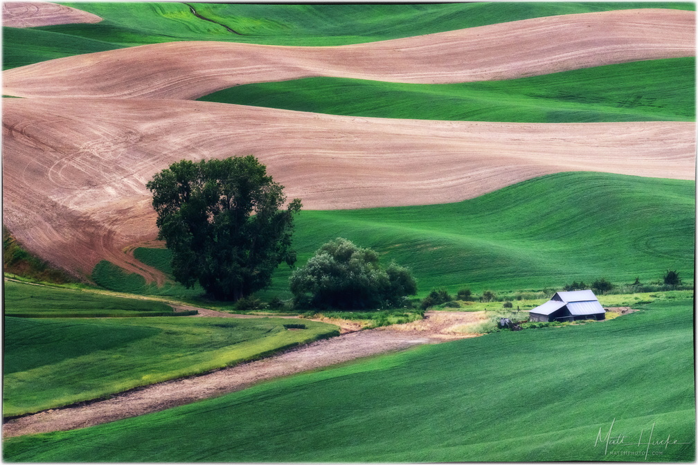 Ripple farm
-
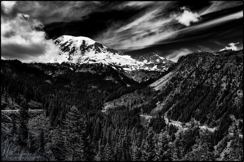 Stevens Canyon
-
 Citadel of the Supreme Starbuck
-
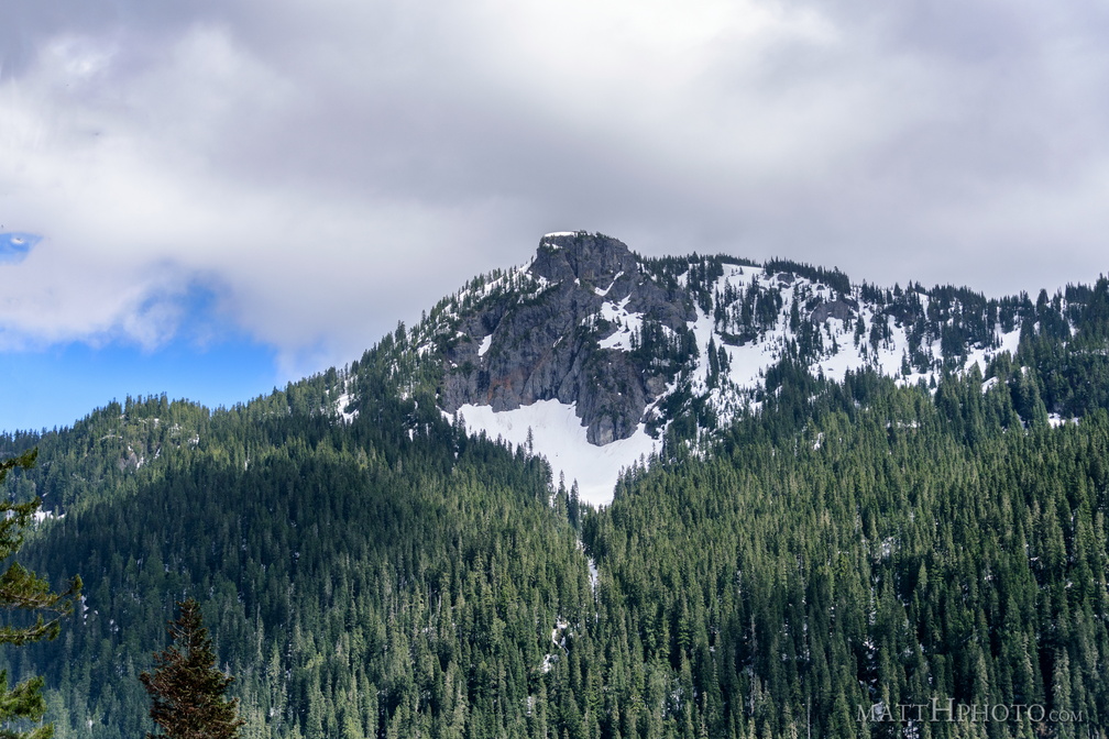 Seymour Peak
As seen from Highway 123, east side of Mount Rainier National Park. 6337 feet.