
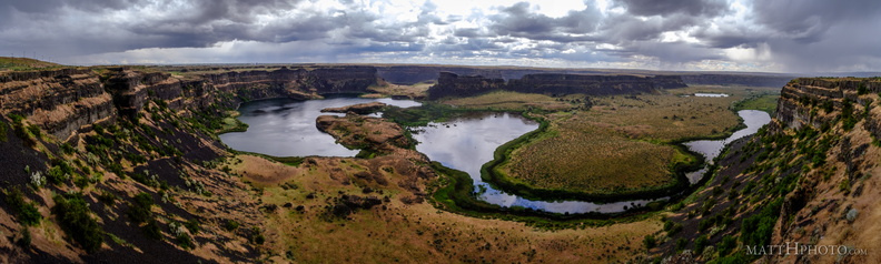
 Dry Falls (Panorama)
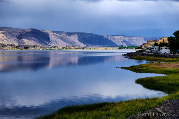 Soap Lake
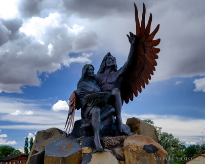 Calling the Healing Waters (Soap Lake)
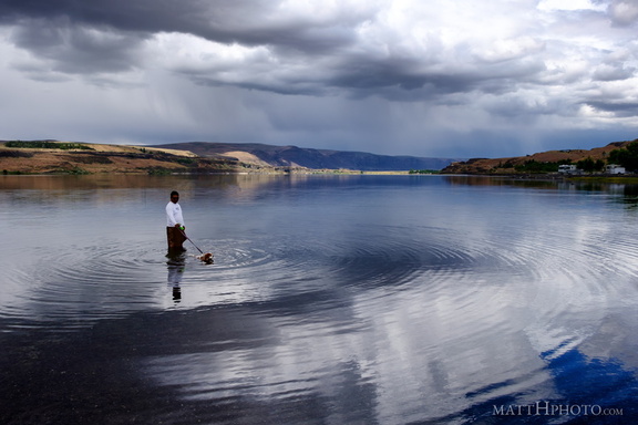 Soap Lake
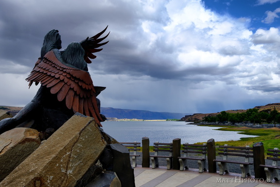 Calling the Healing Waters (Soap Lake)
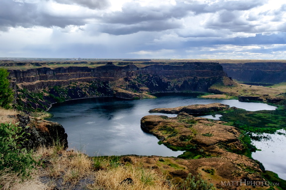 Dry Falls Lake
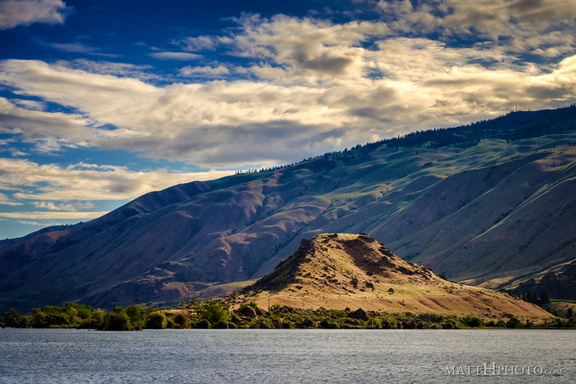 Turtle Rock Island
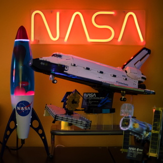 NASA
NASA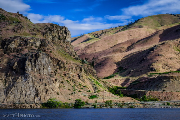 Lincoln Rock and Swakane Canyon
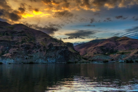 Night Falls on Lincoln Rock
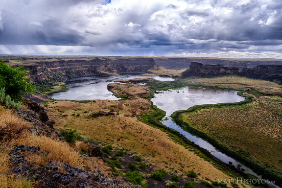 Dry Falls in rain
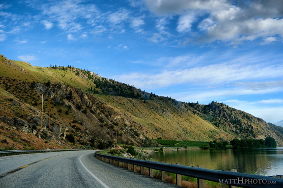 Lake Entiat
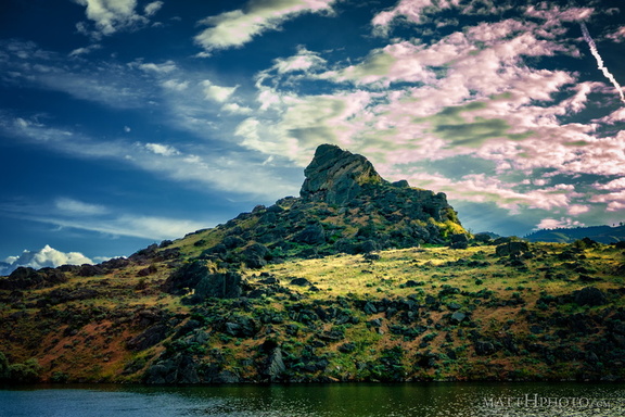 Turtle Rock Island
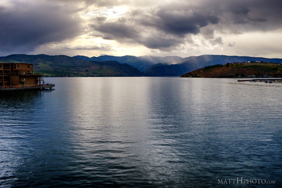 Lake Chelan
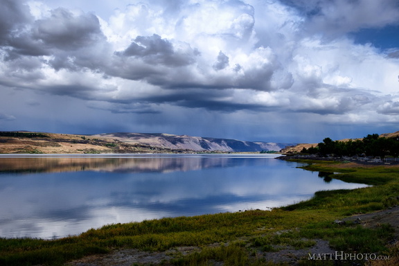 Soap Lake
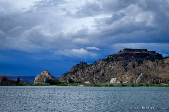 Steamboat Rock State Park
 Butte and St. Andrew
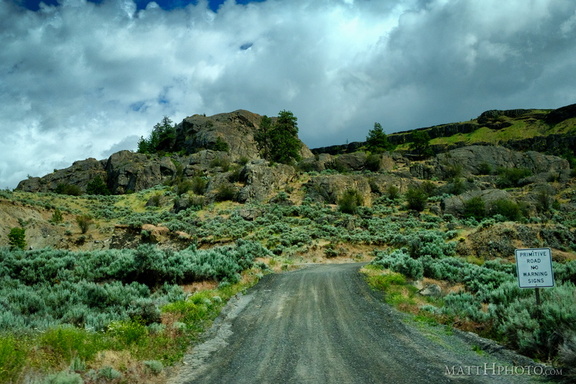 No Warning Signs
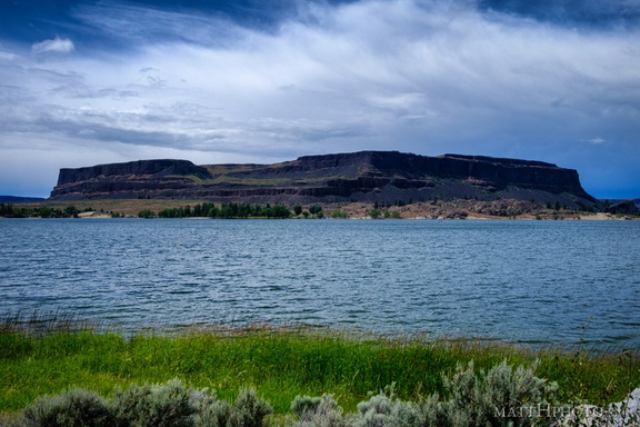 Steamboat Rock
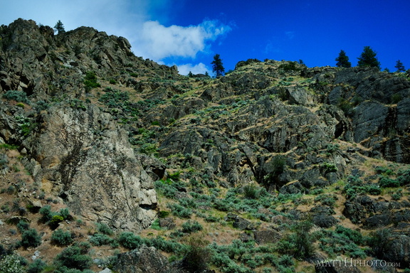 Looking up
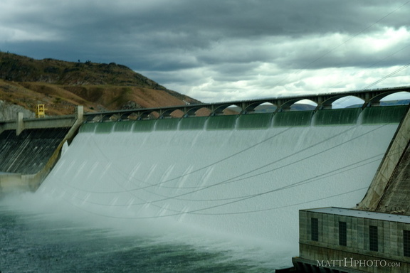 Grand Coulee Dam
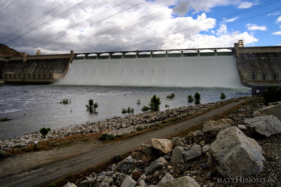 Grand Coulee Dam
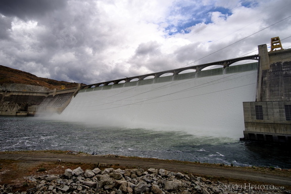 Grand Coulee Dam
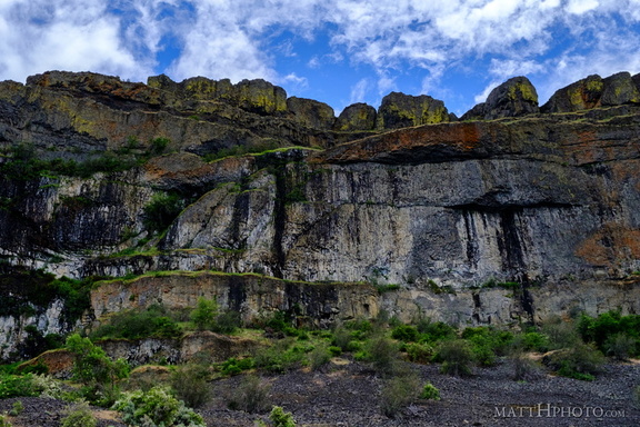 Teeth of the Coulee
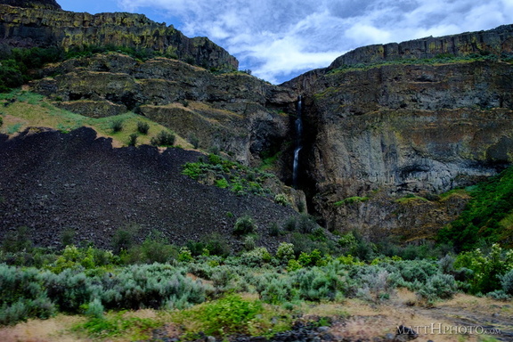 Grand Coulee
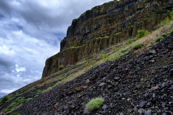 Grand Coulee
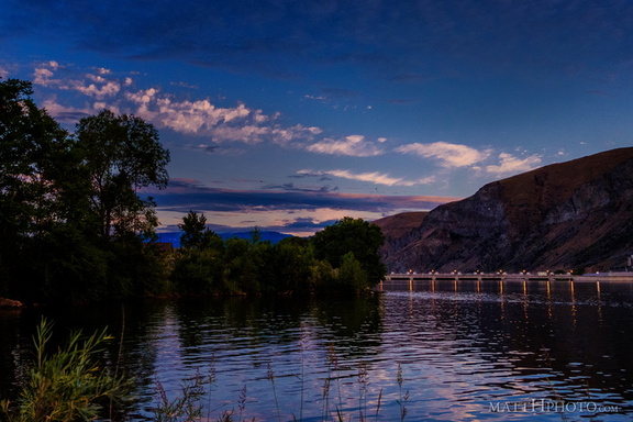 Rocky Reach Dam
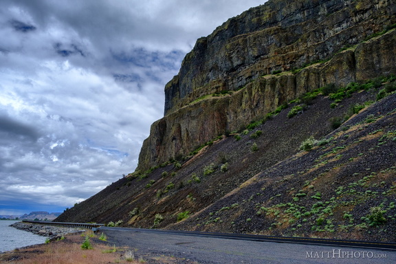 Grand Coulee
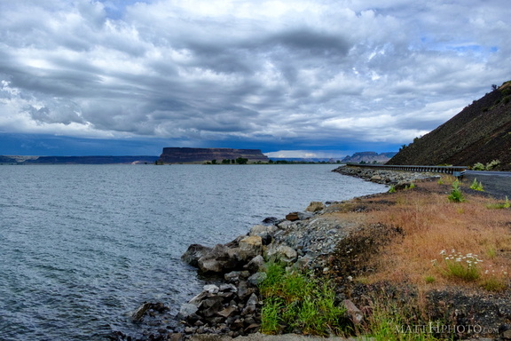 Banks Lake
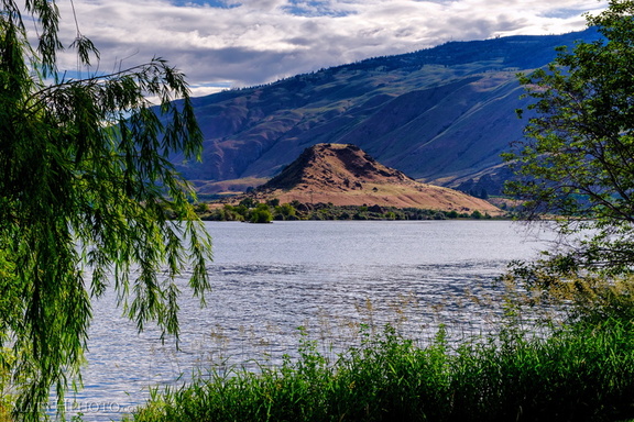 Turtle Rock Island
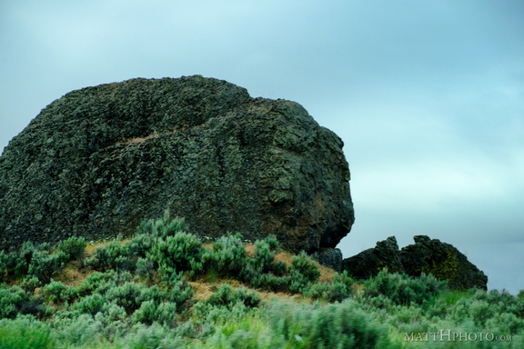 Missoula Flood Deposit
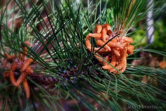 Pine
Pine Brooklyn