
-
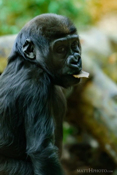 Something in my mouth
-
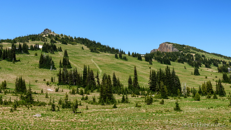 Sourdough Ridge
Viewed from trails near Sunrise visitor center. Unnamed 6951-foot peak, and 7017-foot Antler peak. -
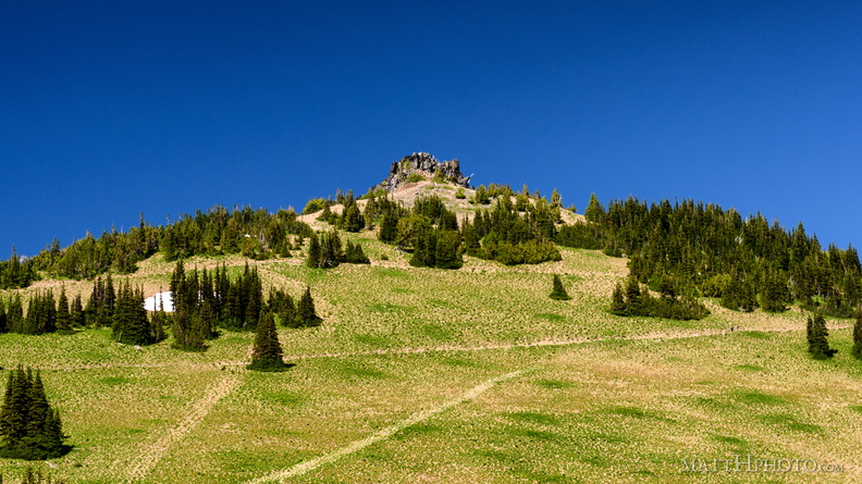 Sourdough Ridge Peak
6951-foot unnamed peak west of Antler Peak. -
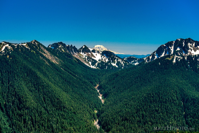 South from Sunrise Point
View from Sunrise Point, Mount Rainier National Park. Mount Adams is in the distance; in the foreground are Governors Ridge, Barrier Peak, and Tamanos Mountain. -
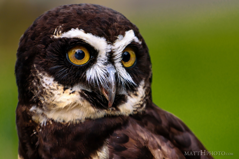 Spectacled Owl
-
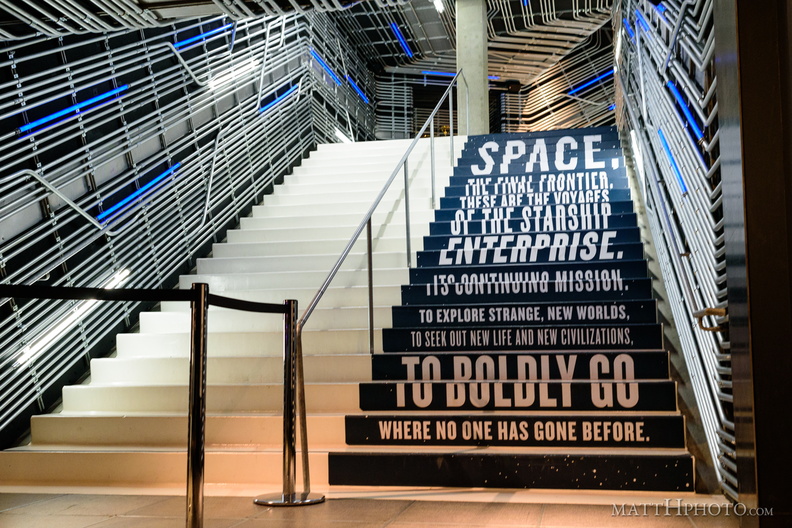 Stairway to Enterprise
-
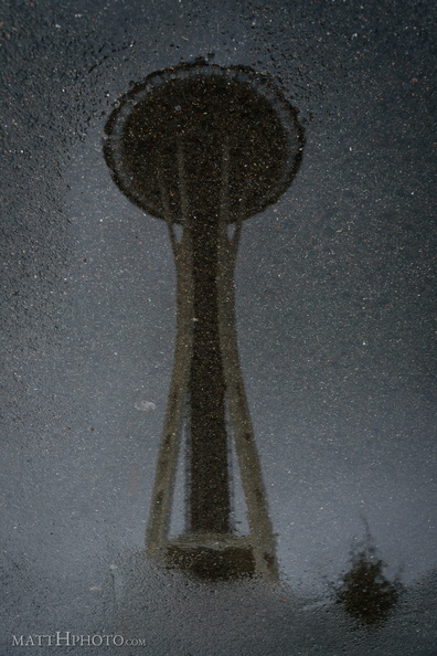 Starry Night
-
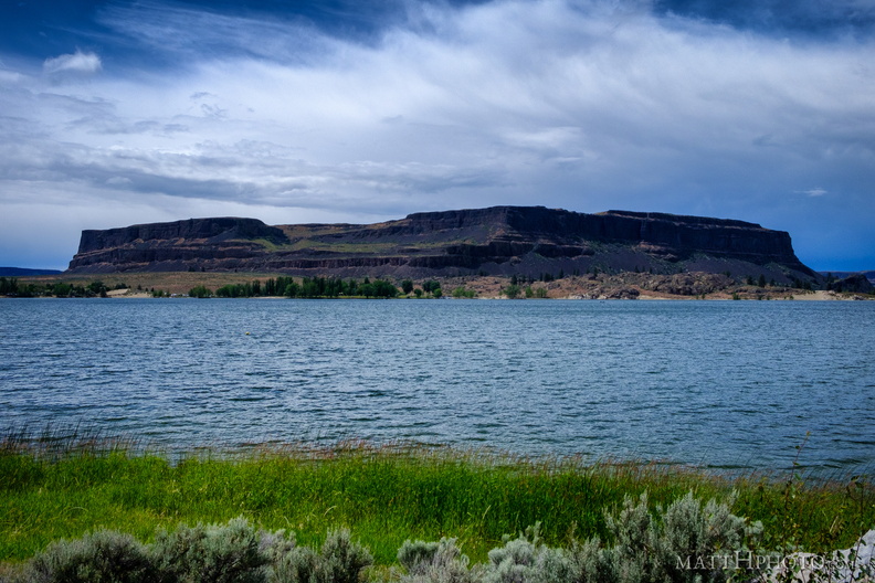 Steamboat Rock
-
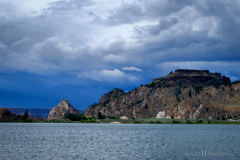 Steamboat Rock State Park
-
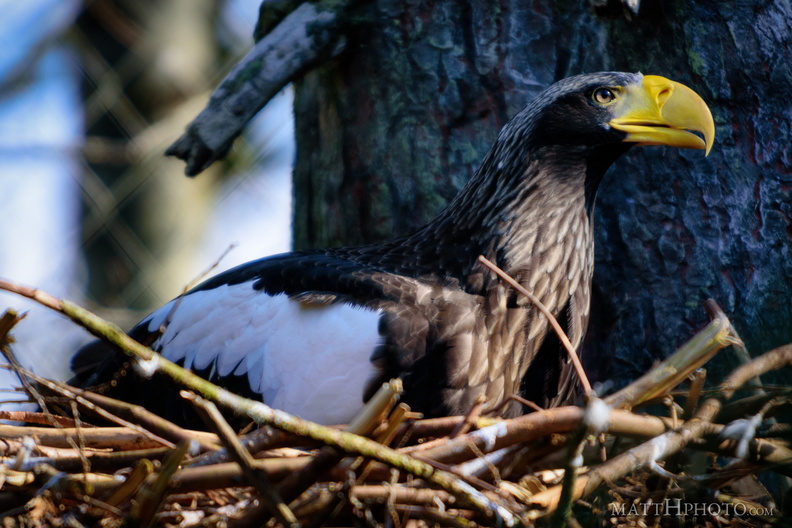 Steller's Sea Eagle
-
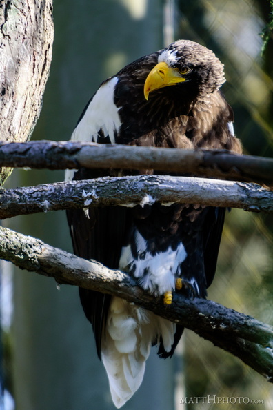 Steller's Sea Eagle
-
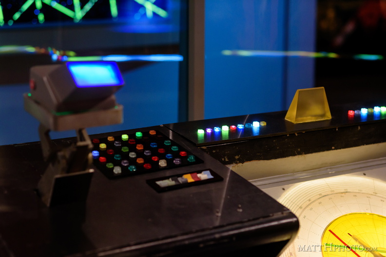 Sulu's Helm
-
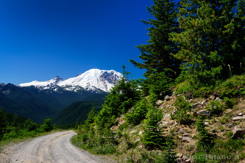 Sun Top Fire Lookout
-
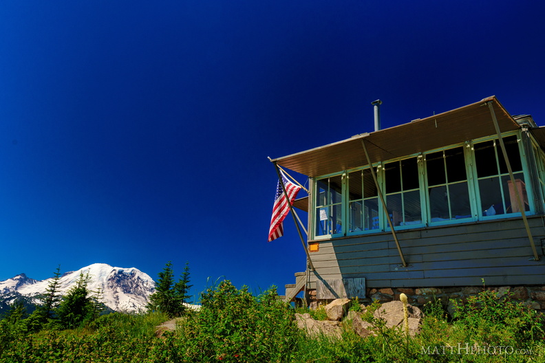 Sun Top Fire Lookout
-
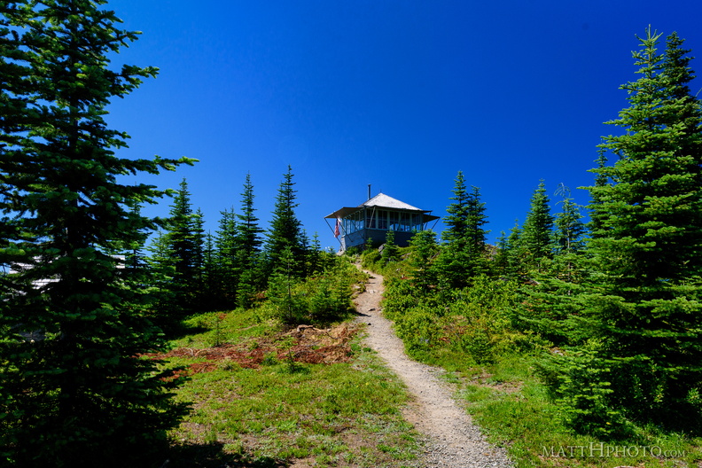 Sun Top Fire Lookout
-
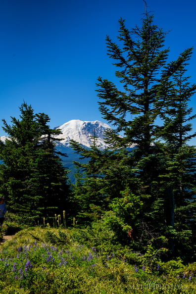 Sun Top Fire Lookout
-
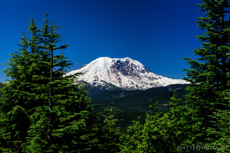 Sun Top Fire Lookout
-
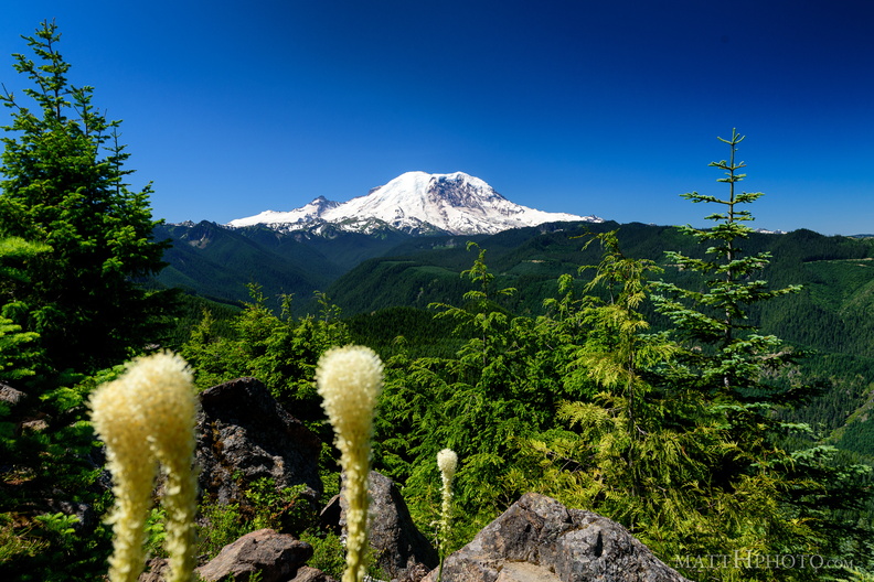 Sun Top Fire Lookout
-
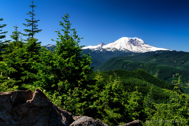 Sun Top Fire Lookout
-
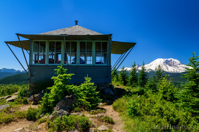 Sun Top Fire Lookout
Built 1934, elevation 1 mile (5280 feet). -
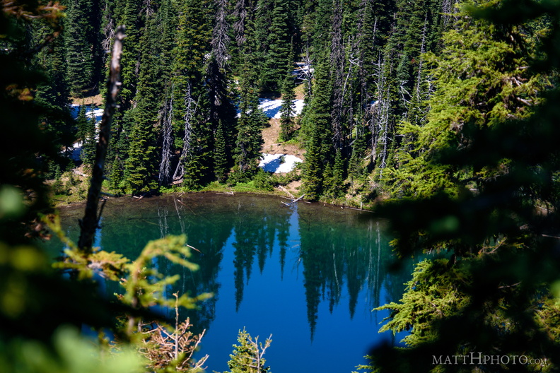 Sunrise Lake
Sunrise Lake (5730 ft), looking north from Sunrise Point (6130ft), Mount Rainier National Park. -
 Sunrise Lake
From Sunrise Point (6130ft), Mount Rainier National Park. -
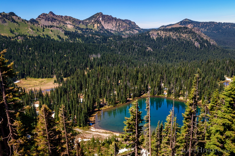 Sunrise Lake and Palisades Peak
Marcus Peak and Palisades Peak, above Sunrise Lake. Looking north from Sunrise Point (6130ft), Mount Rainier National Park. -
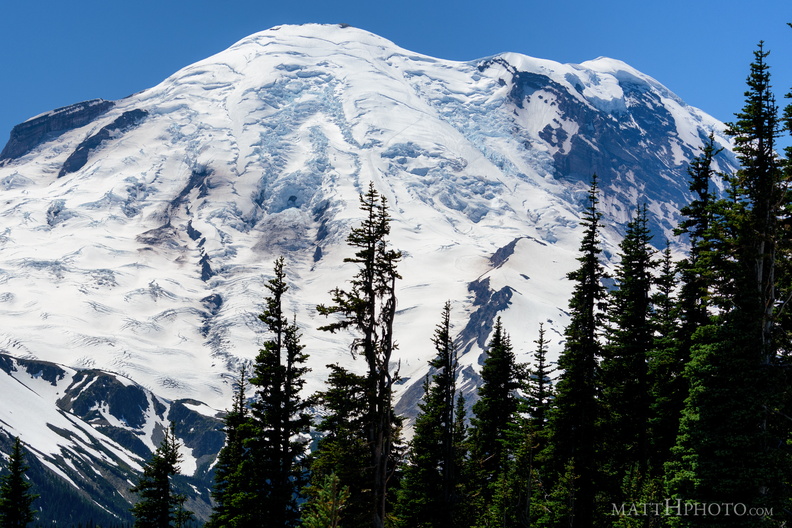 Sunrise Point
View from Sunrise Point, Mount Rainier National Park -
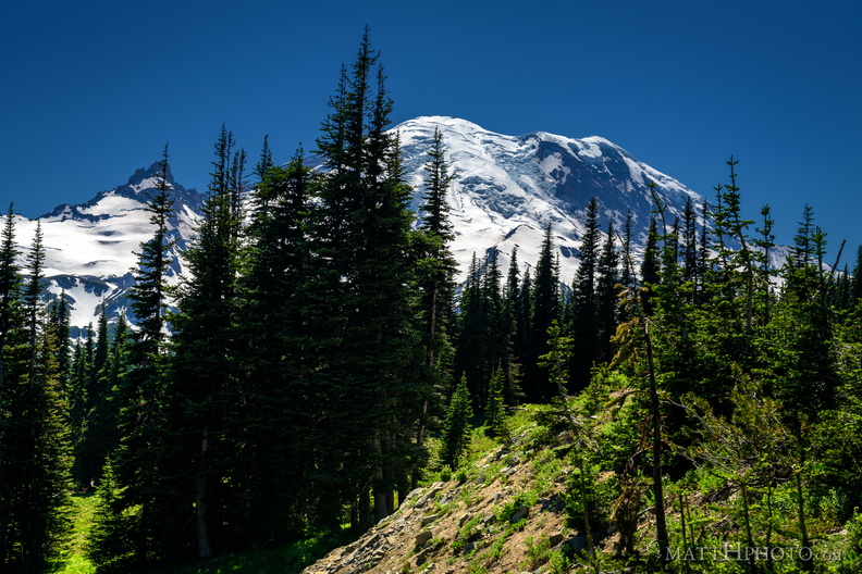 Sunrise Road
-
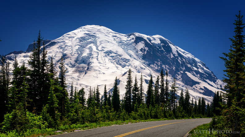 Sunrise Road
-
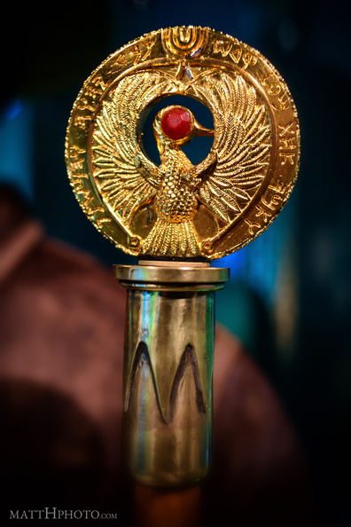 Take back one kadam to honor the Hebrew God, whose Ark this is.
Headpiece of the Staff of Ra, original prop from "Raiders of the Lost Ark", Museum of Pop Culture, Seattle -
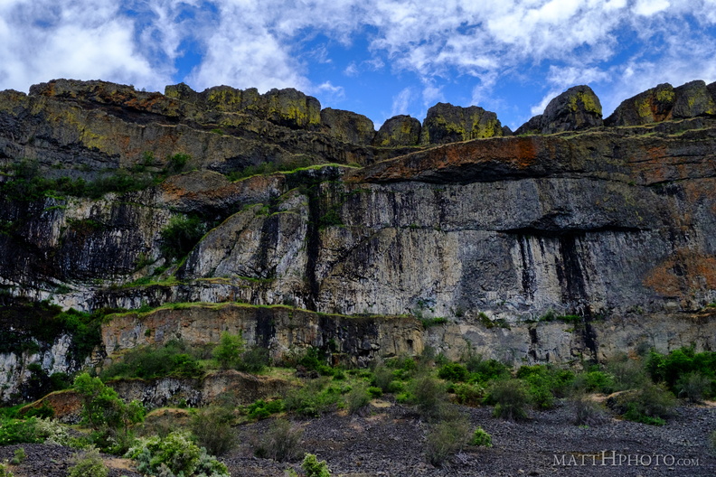 Teeth of the Coulee
Grand Coulee, alongside Banks Lake -
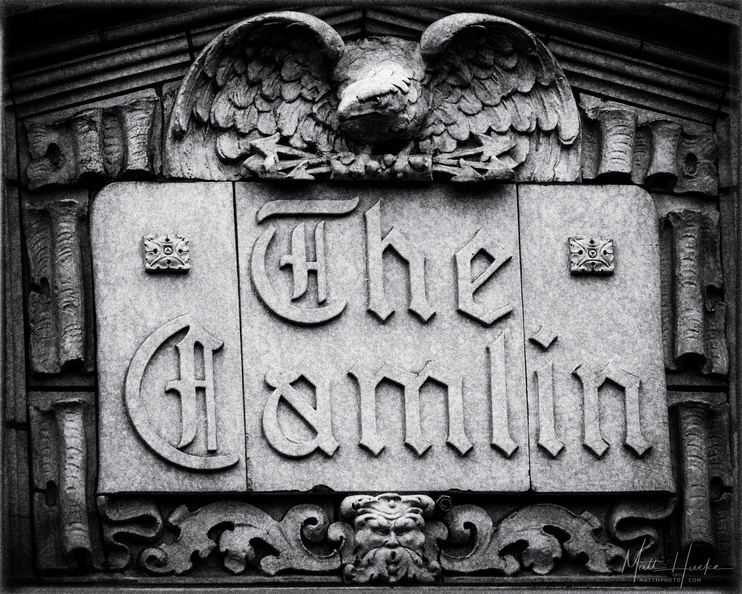 The Camlin
Camlin Hotel, Seattle, 1926. -
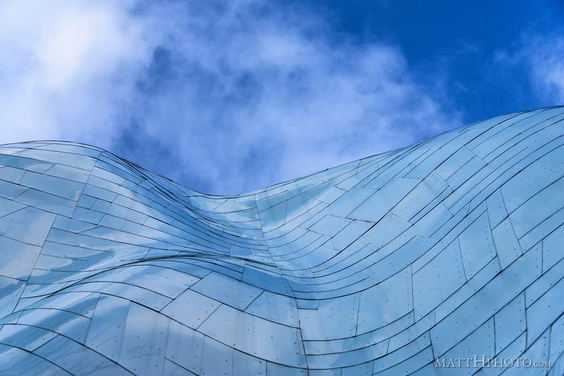 The cool blue hills of earth
-
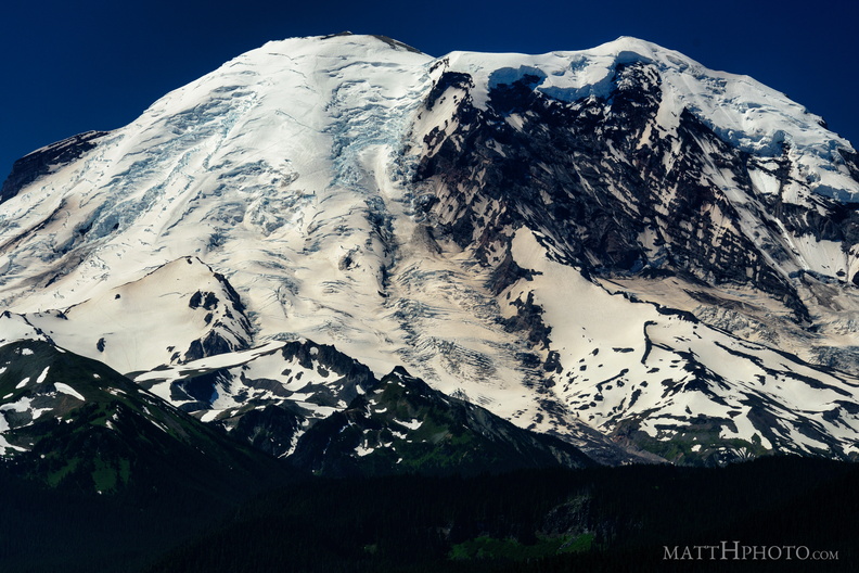 The North Face
From Sun Top Fire Lookout -
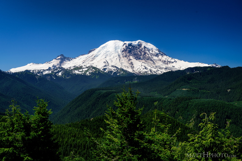 The North Face
From Sun Top Fire Lookout -
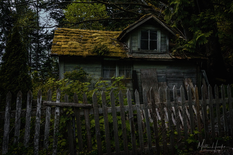 The Shunned House
Near Taylor Shellfish Farms, Chuckanut Drive, Bow WA -
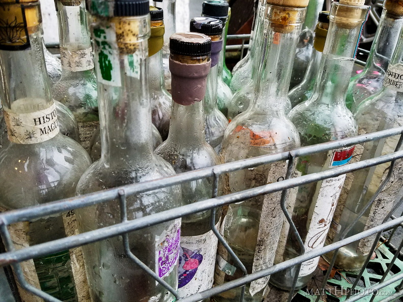 They were Mezcal
Bottles outside Mezcaleria Oaxaca, Seattle -
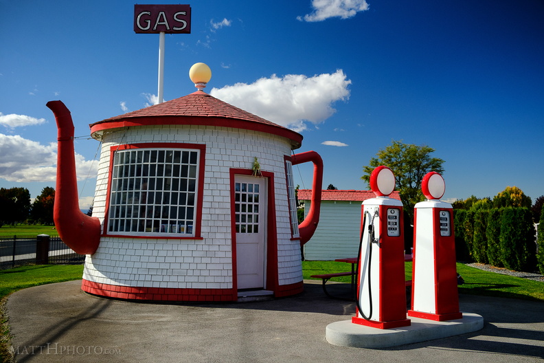 This is Not a Tea Pot
Teapot Dome Service Station, Zillah WA. Built 1922. -
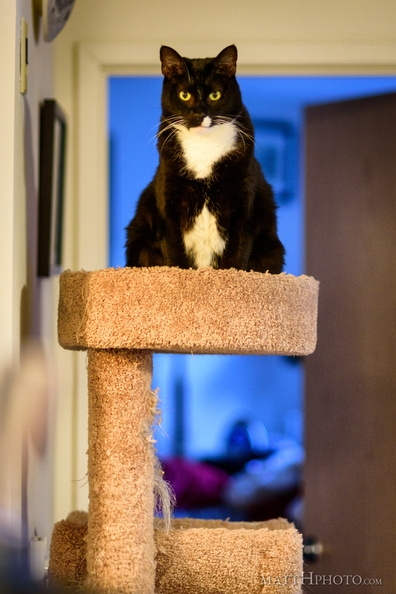 Top shelf kitty
-
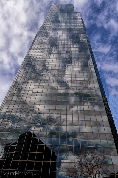 Tower in the Clouds
Columbia Center, Seattle. -
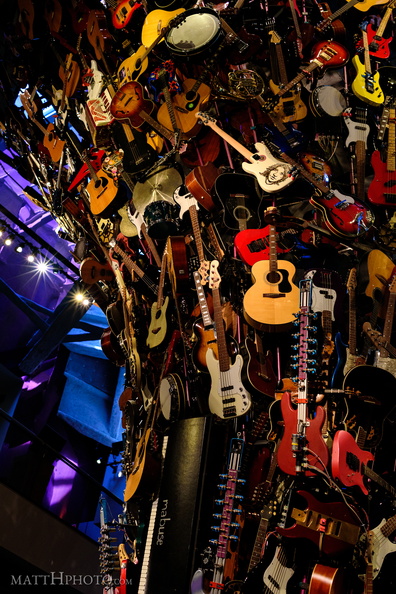 Towering sound
"If VI Was IX: Roots and Branches" sculpture by Trimpin at the Museum of Pop Culture, Seattle -
 Tulips 2017
-
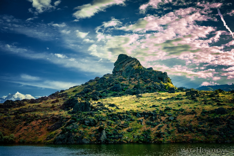 Turtle Rock Island
Island in Lake Entiat, created in 1962 when the Rock Reach Dam was constructed. -
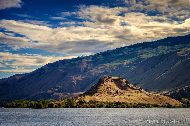 Turtle Rock Island
Lake Entiat, WA -
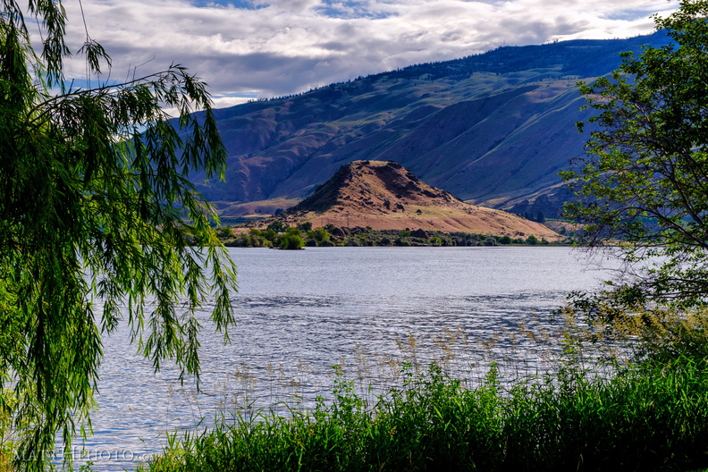 Turtle Rock Island
Turtle Rock Island near Lincoln Rock State Park. Originally a simple rocky hill on the south bank of the Columbia River, US Highway 2 ran through it. The construction of the Rocky Reach Dam in 1960 caused the formation of Lake Entiat around this hill, cutting it off from the rest of the south bank, submerging the old US Highway 2, and creating Turtle Rock Island. It is now a protected wildlife area accessible only by boat. -
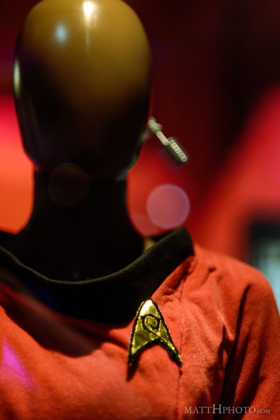 Uhura
Uhura
-
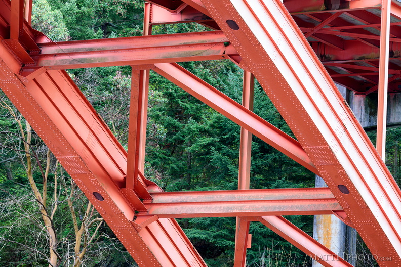 Under the Rainbow
Rainbow Bridge, La Conner WA -
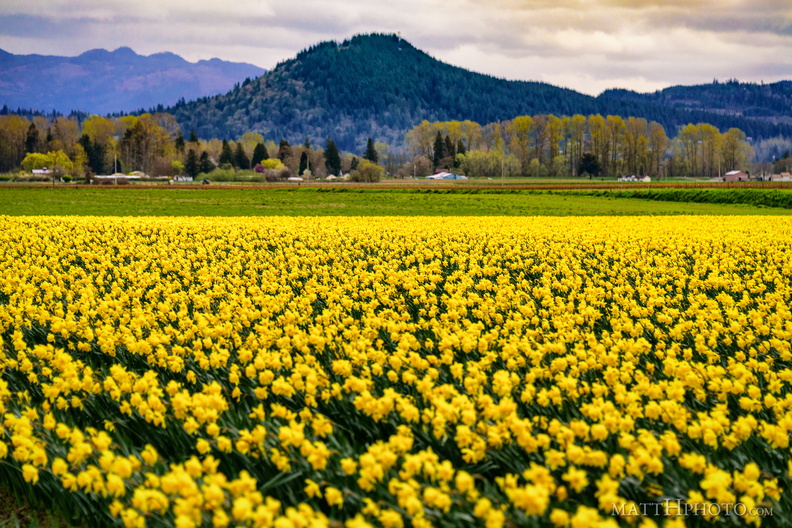 Valley of the Daffodil
-
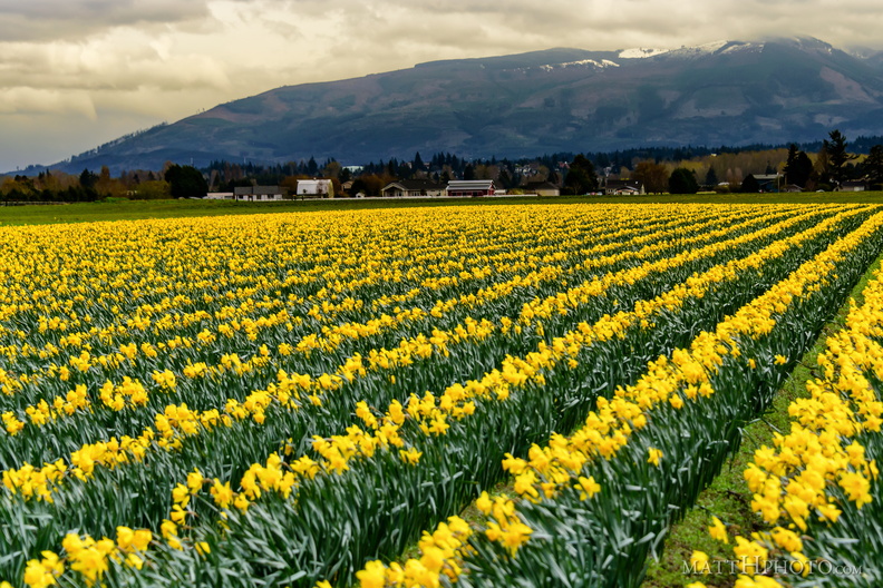 Valley of the Daffodil
-
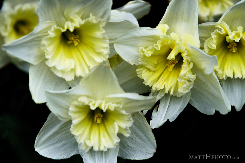 Valley of the Daffodil
-
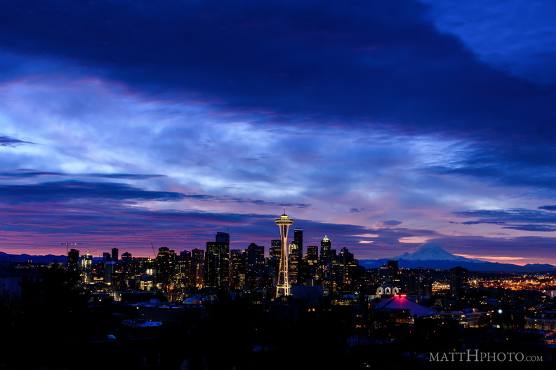 Waiting for the Dawn
-
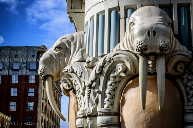 Walrus Corner
-
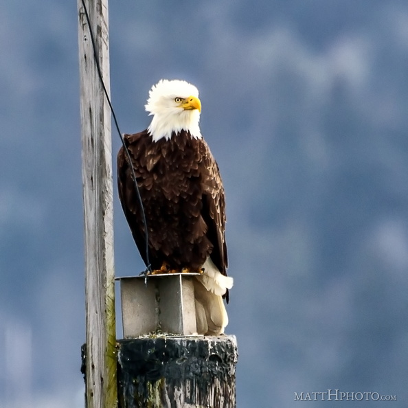 Watching and listening