
-
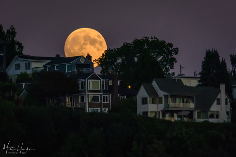 Moon over Ballard
Shot from a sailboat. -
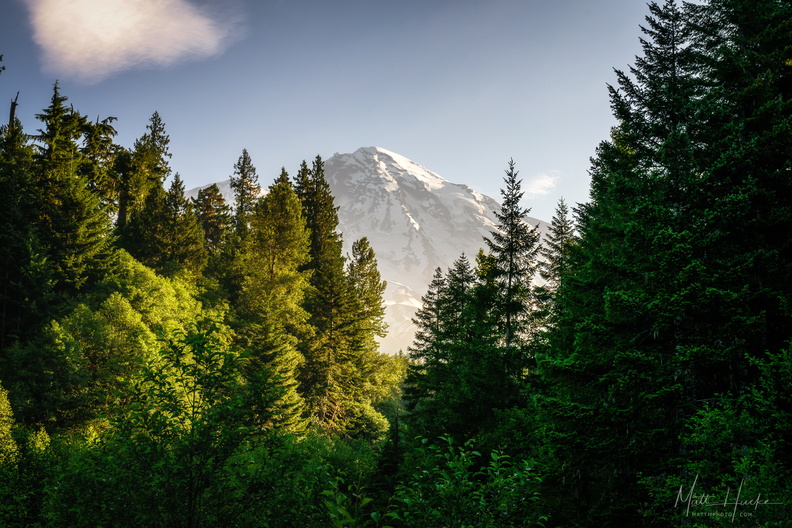 Morning at Kautz Creek
Mount Rainier National Park -
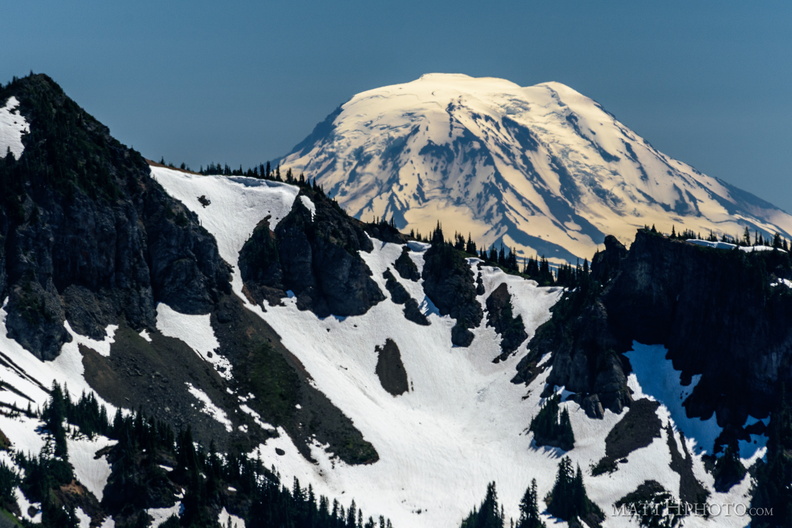 Mount Adams (from Rainier)
View from Sunrise Point, Mount Rainier National Park. Barrier Peak is in the foreground. -
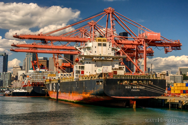 MSC Nerissa in the Port of Seattle
-
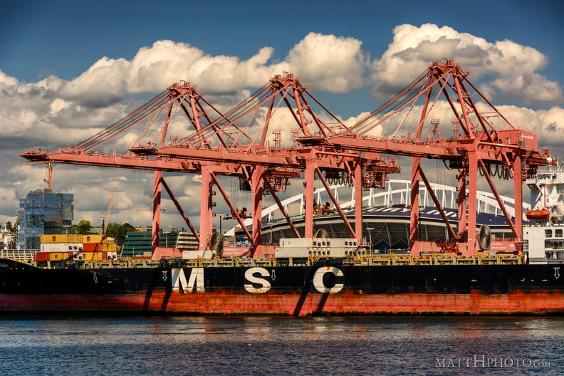 MSC Nerissa in the Port of Seattle
-
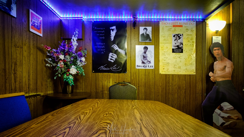 My Dinner with Bruce
Bruce Lee's table at Tai Tung restaurant, Seattle. After he became famous he would always sit at this table in a secluded corner of the restaurant, near the bathrooms. There was a curtain that could be drawn for privacy. After his death in 1973 the table was decorated with photos, posters, and a cardboard cutout of Lee, in his memory. -
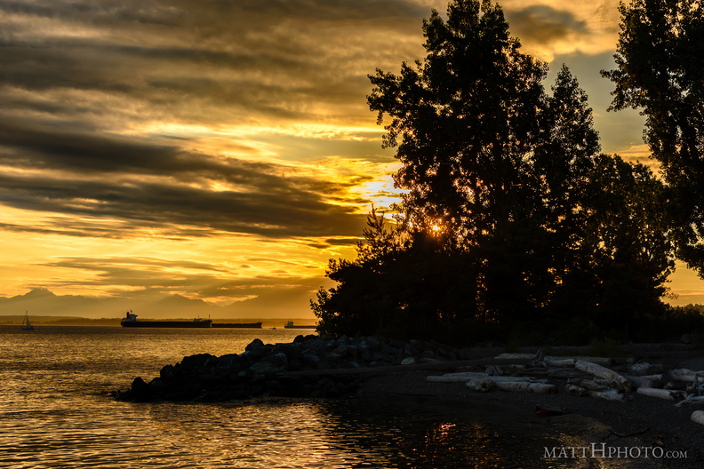 Myrtle Edwards Park
-
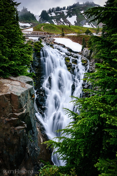 Myrtle Falls, Mount Rainier
72 foot drop. Near Paradise Visitor Center -
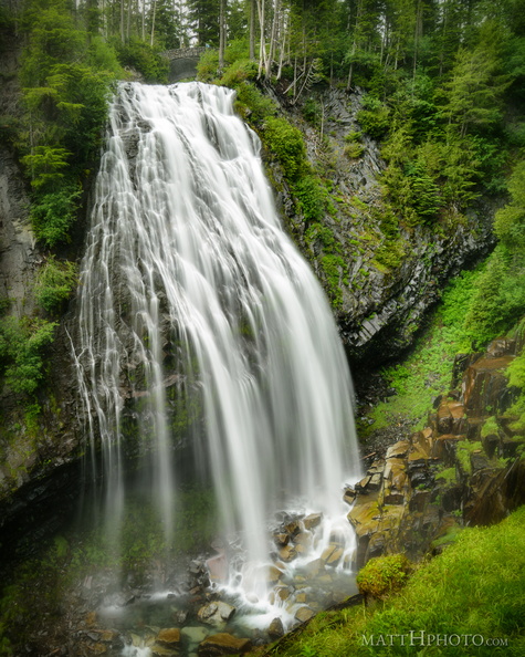 Narada Falls
Narada Falls, Mount Rainier National Park -
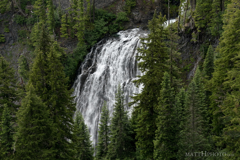 Narada Falls
Narada Falls, as seen from Stevens Canyon Road, Mount Rainier National Park -
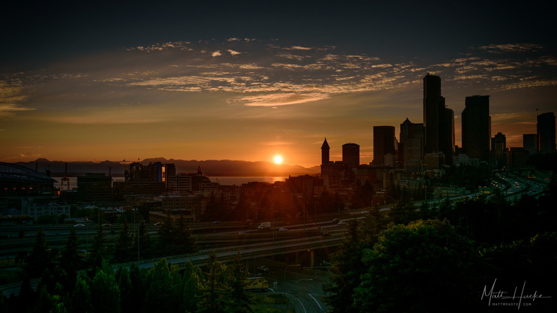 Nightfall
-
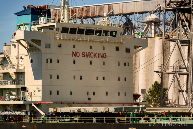 Nosmo King
-
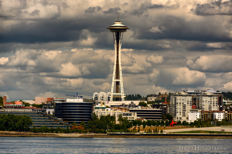 Olympic Sculpture Park
-
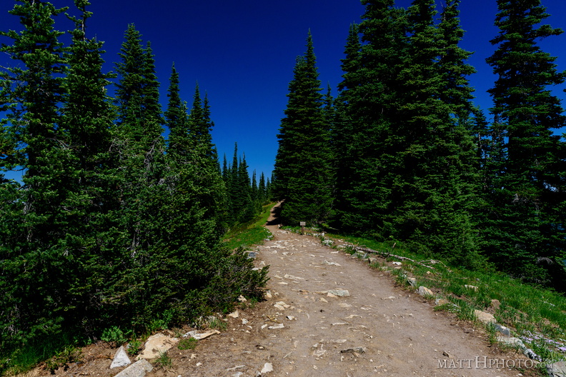 Palisades Lakes Trail
View from Sunrise Point, Mount Rainier National Park -
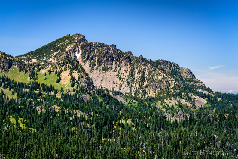 Palisades Peak
Palisades Peak (7000ft), named for it columnar basalt formations resembling a defensive wall. Looking northwest from Sunrise Point (6130ft), Mount Rainier National Park. At right, Mount Baker can be seen on the horizon, about 125 miles north. -
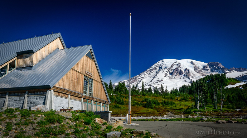 Paradise
Paradise Visitor Center, Mount Rainier -
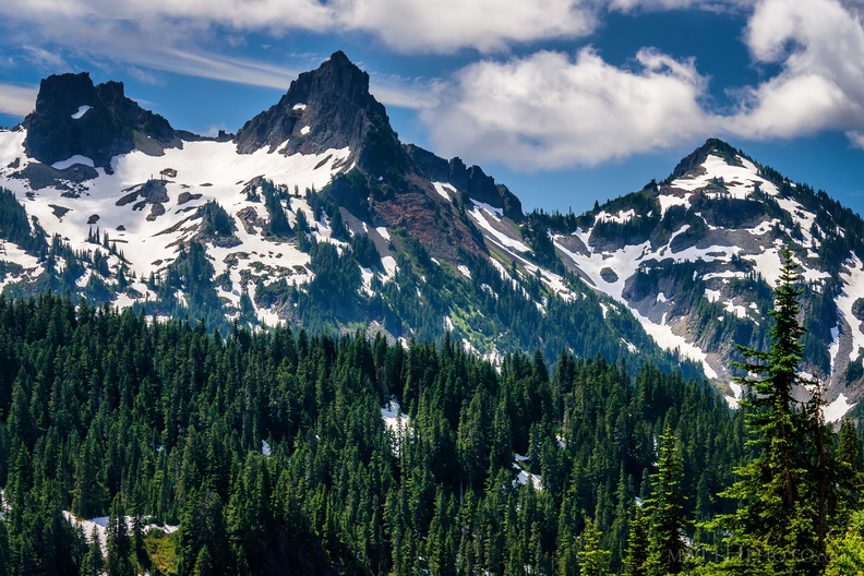 Pinnacle of the Tatoosh
Left to right, an unnamed peak, Pinnacle Peak, and Plummer Peak, of the Tatoosh Range. -
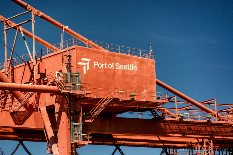 Port of Seattle
-
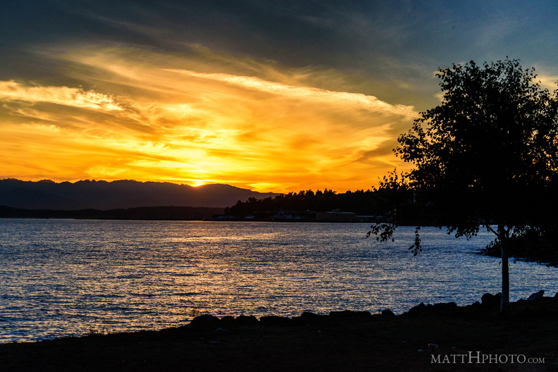 Puget's Gold
-
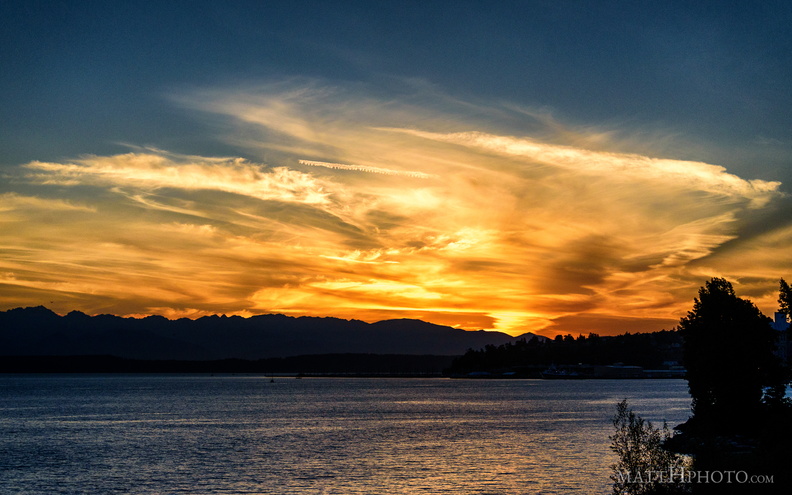 Puget's Gold II
-
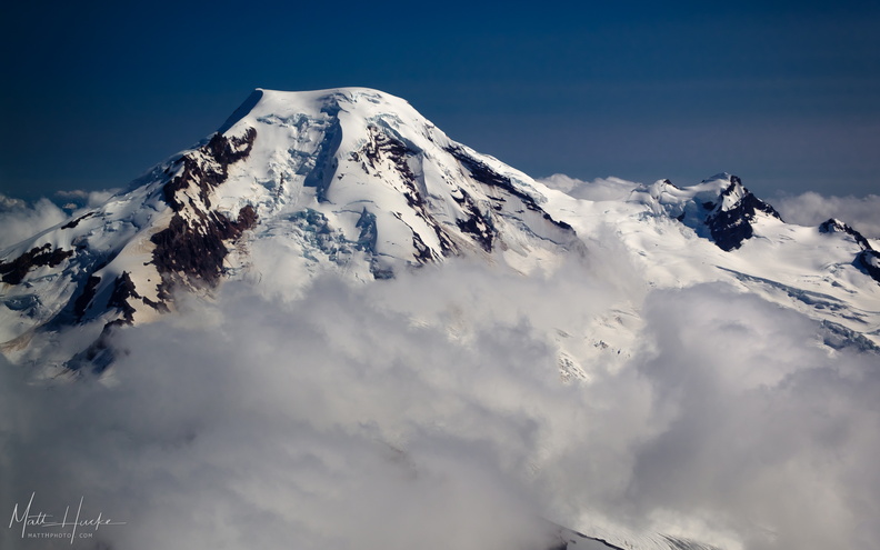 put out my hand and touched the face of god
Mount Baker, with Black Buttes on the right. -
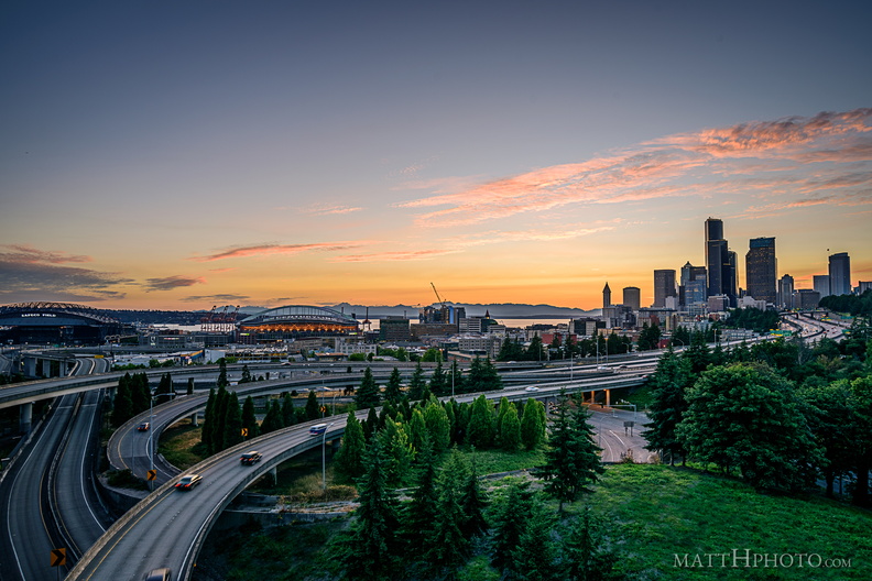 Rainbow Sherbet (Seattle)
-
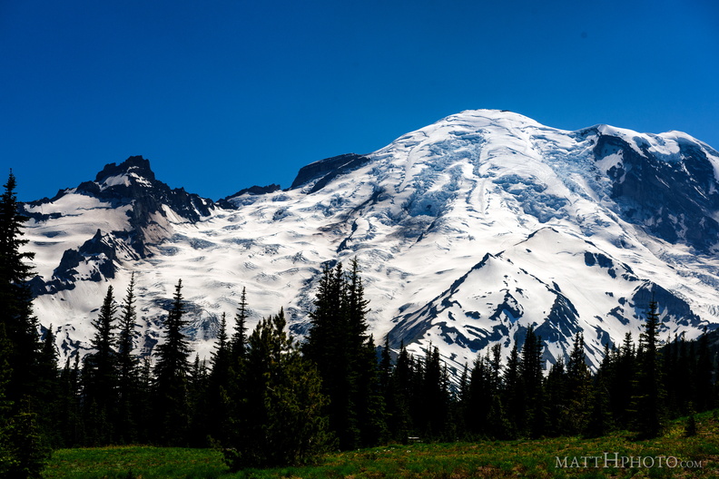 Rainier from Sunrise
-
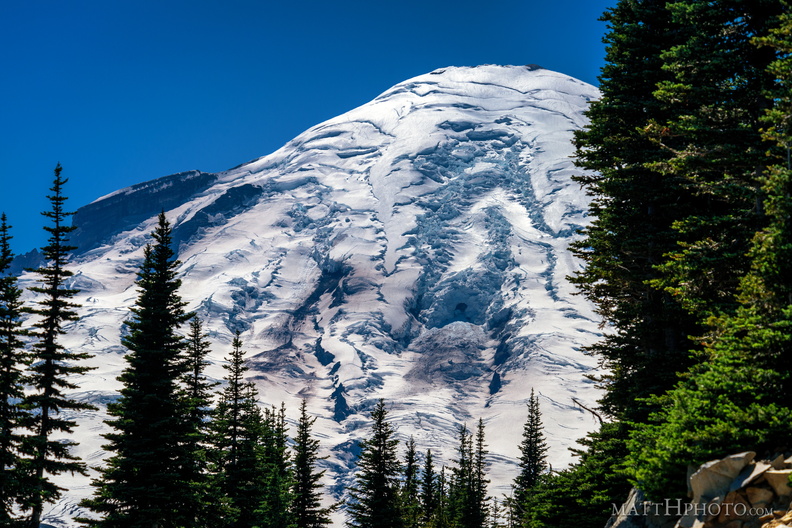 Rainier from Sunrise Point
Rainier summit, looking west from Sunrise Point (6130ft), Mount Rainier National Park. -
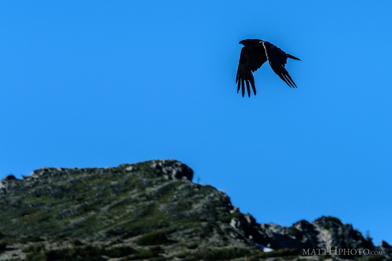 Rainier Raven
It's a corvid. -
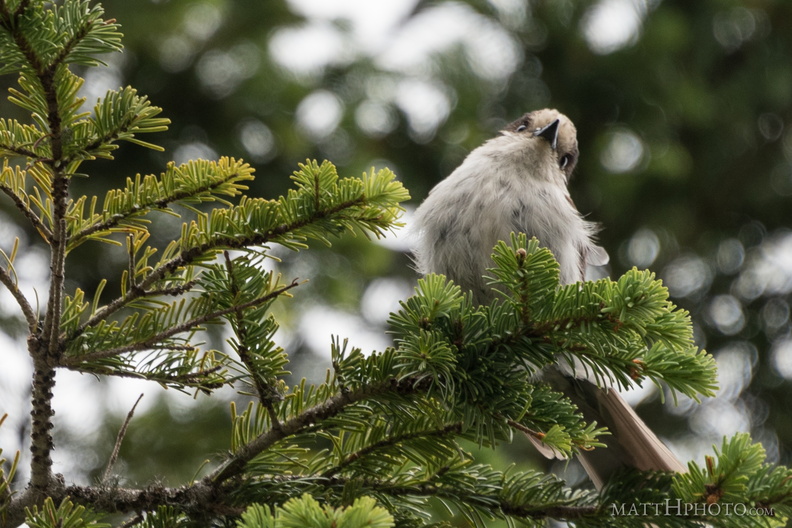 Rainier resident
Bird seen at Inspiration Point, near Paradise, Rainier National Park. If you know the species, please tell me. -
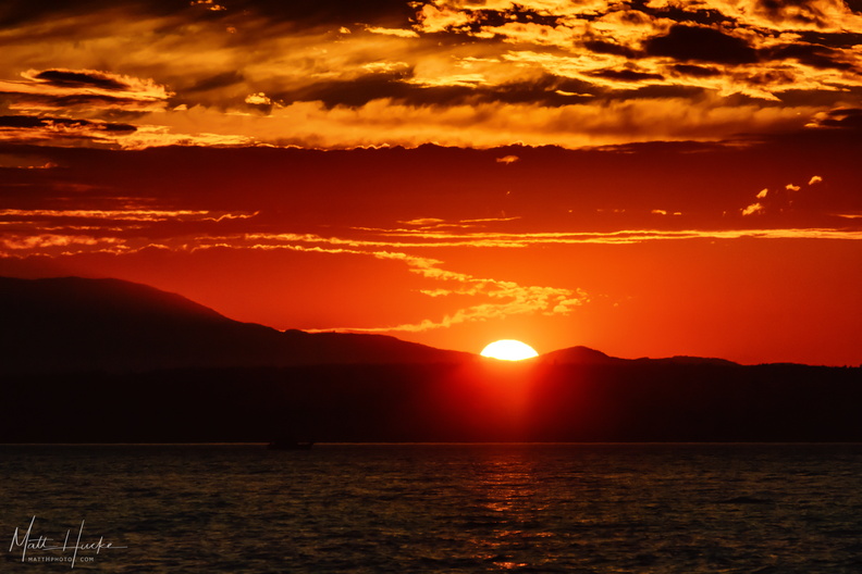 Sailors' Delight
Sunset on the Olympic Mountains, shot from a sailboat on Puget Sound. Title comes from "Red Sky at Night, Sailors' Delight", and indeed this delighted the four of us amateur sailors. -
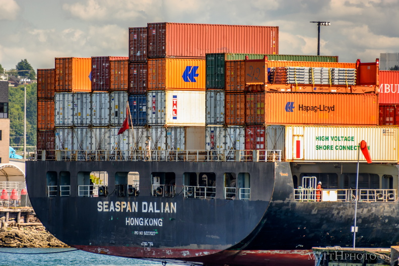 Seaspan Dalian, Hong Kong
-
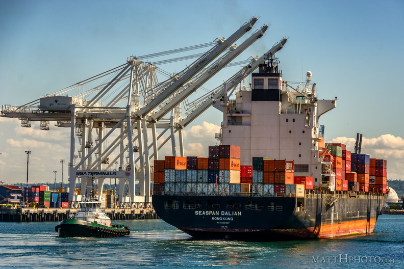 Seaspan Dalian, Port of Seattle
-
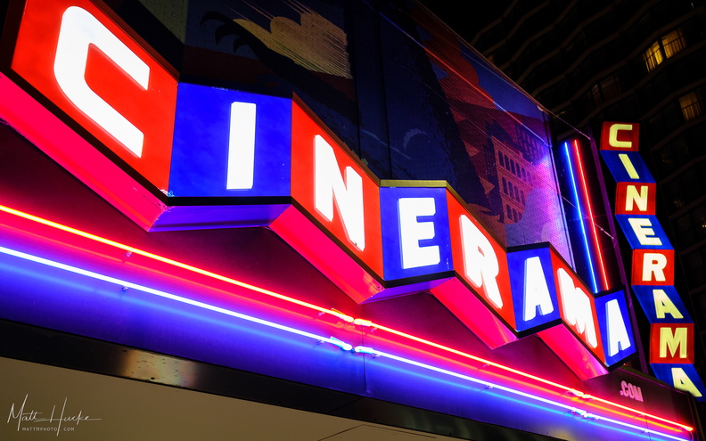 Seattle Cinerama
These signs were removed in September 2023, as the former Seattle Cinerama (closed for three years) was sold, becoming SIFF Cinema. SIFF (Seattle Independent Film Festival) were unable to use the Cinerama name due to a trademark. -
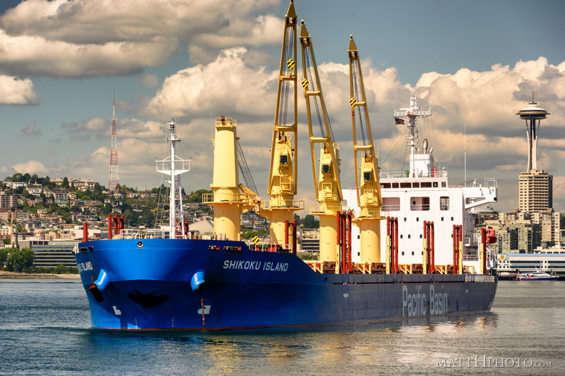 Shikoku Island visits Seattle
-
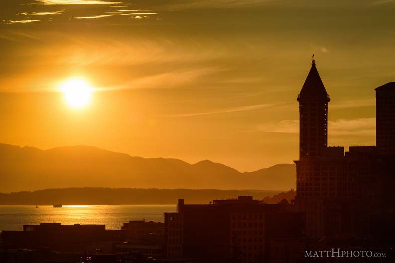 Smith & Sun
-
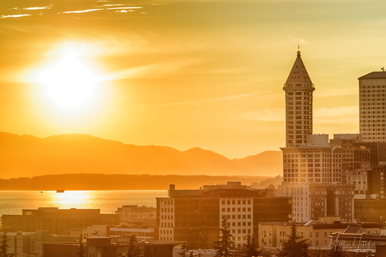 Smith & Sun II
-
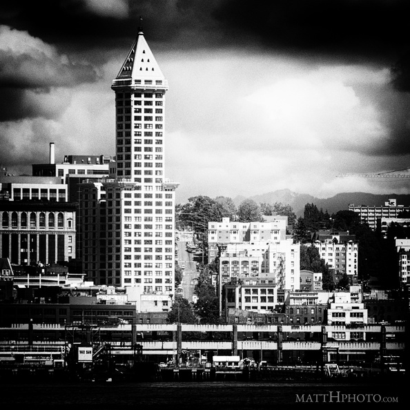 Smith Tower, 1914.
(2016 photo, made to look old in post-processing) -
 Snags
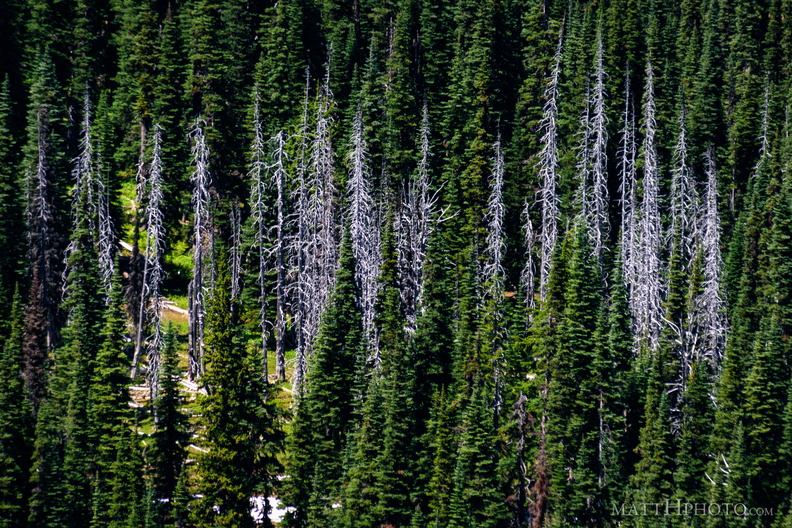
Snags
Standing dead trees, looking north from Sunrise Point (6130ft), Mount Rainier National Park. -
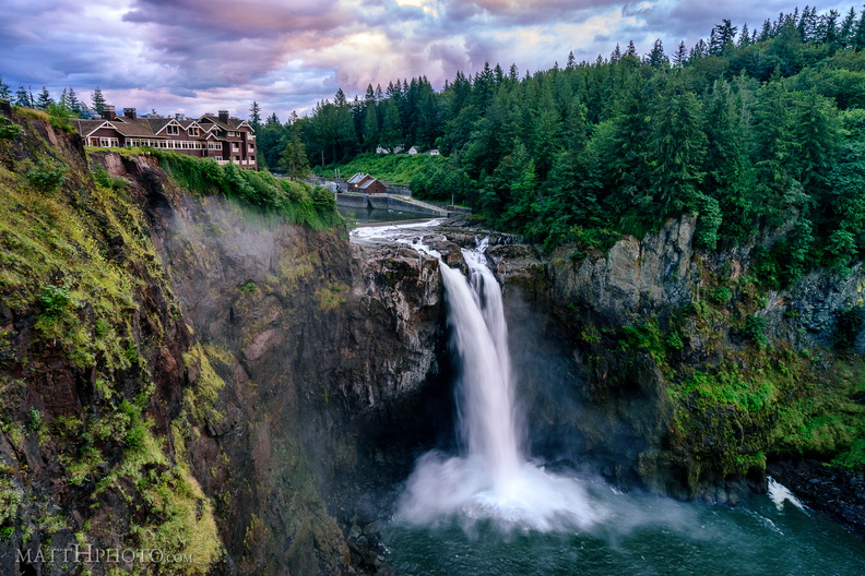 Snoqualmie Falls on a July Evening
-
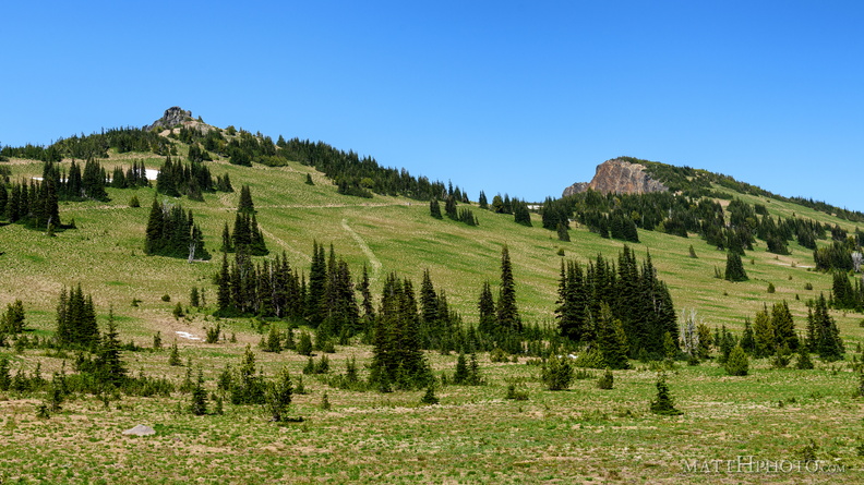 Sourdough Ridge
Viewed from trails near Sunrise visitor center. Unnamed 6951-foot peak, and 7017-foot Antler peak. -
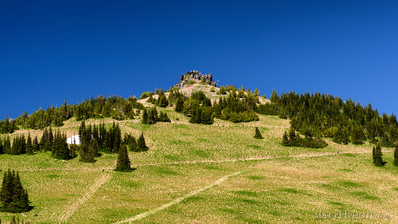 Sourdough Ridge Peak
6951-foot unnamed peak west of Antler Peak. -
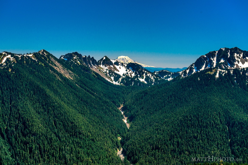 South from Sunrise Point
View from Sunrise Point, Mount Rainier National Park. Mount Adams is in the distance; in the foreground are Governors Ridge, Barrier Peak, and Tamanos Mountain. -
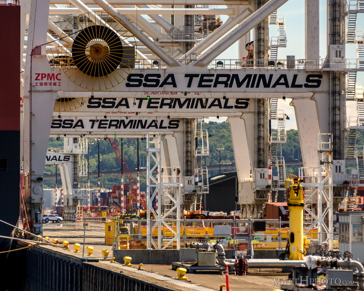 SSA Terminals
-
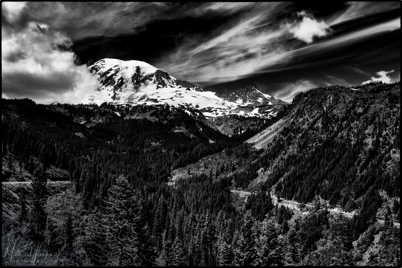 Stevens Canyon
-
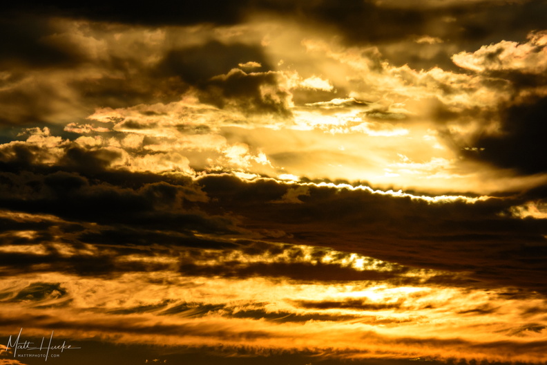 Sun & Cloud
-
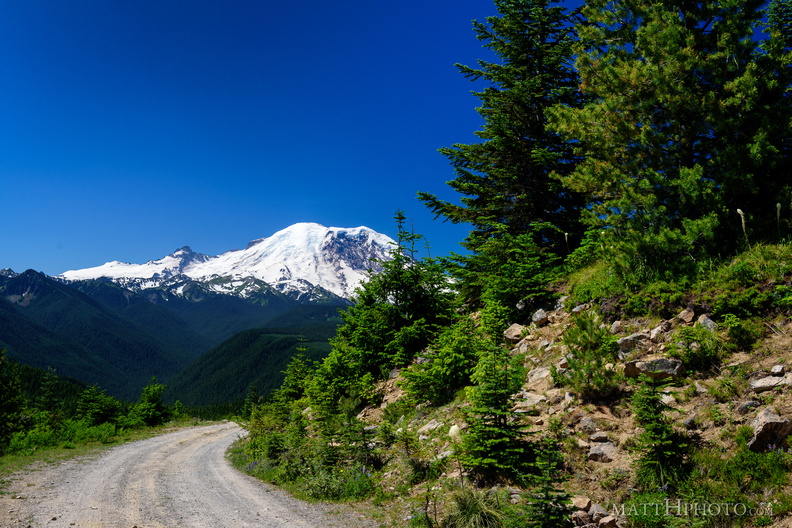 Sun Top Fire Lookout
-
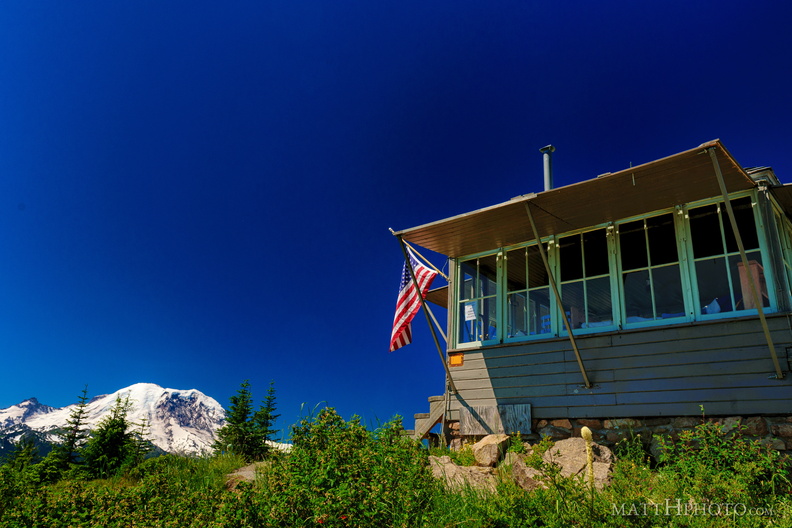 Sun Top Fire Lookout
-
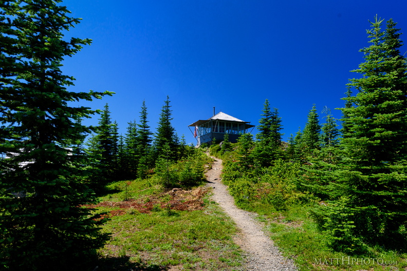 Sun Top Fire Lookout
-
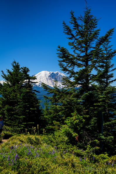 Sun Top Fire Lookout
-
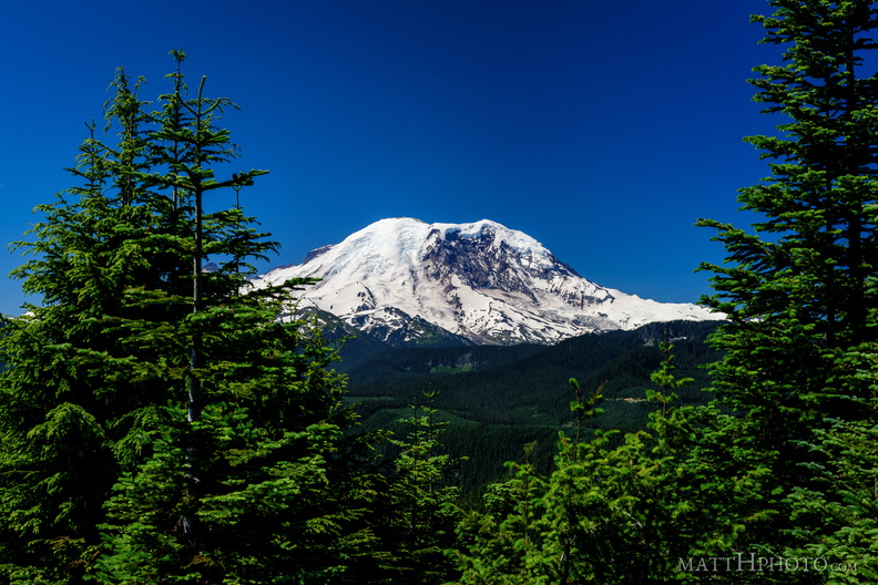 Sun Top Fire Lookout
-
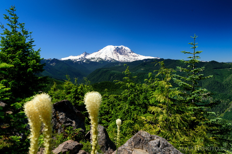 Sun Top Fire Lookout
-
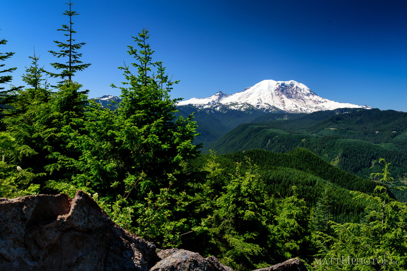 Sun Top Fire Lookout
-
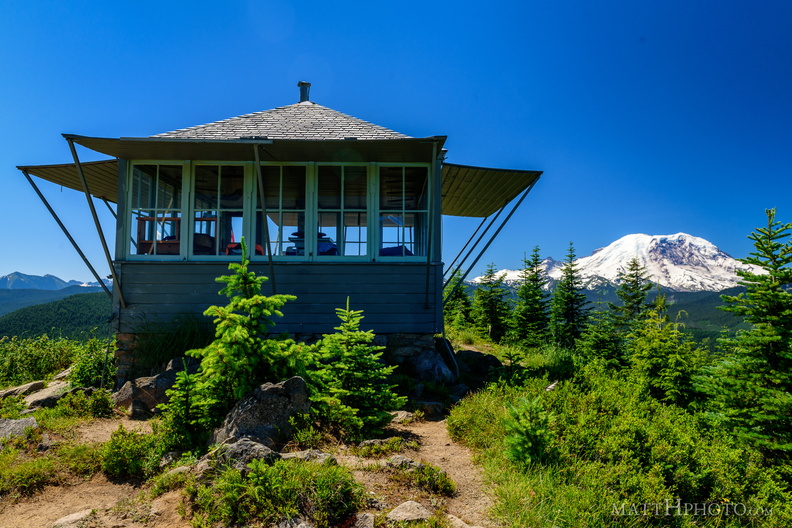 Sun Top Fire Lookout
Built 1934, elevation 1 mile (5280 feet).