« Saturday

-
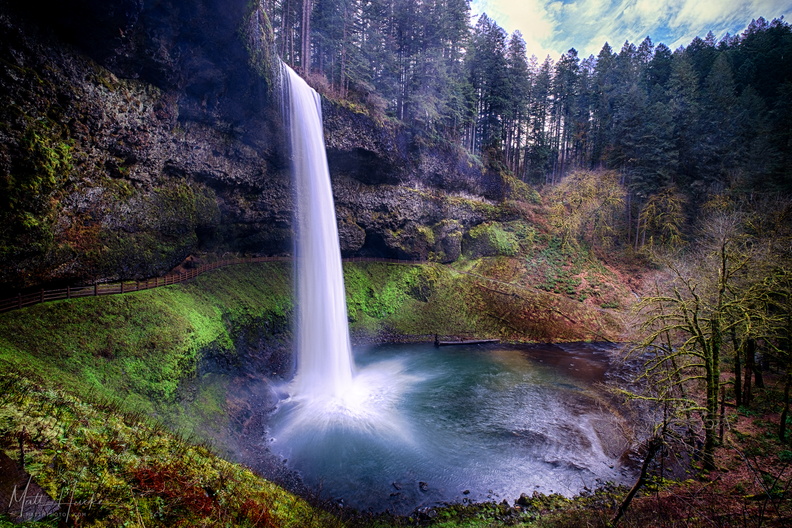 South Falls
-
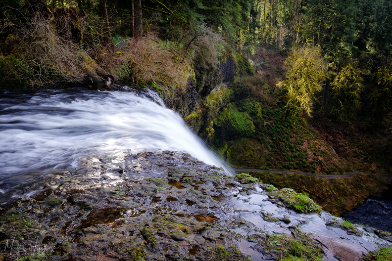 It's a long drop
Top of South Falls, 177 feet above the pool at the base. -
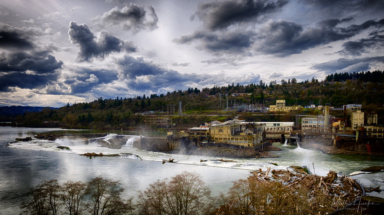 Willamette Falls
-
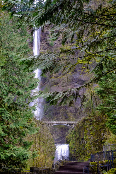 Multnomah Falls
Multnomah Falls, Oregon, while still partially closed to the public due to fire damage. Shot through a chain-link fence. -
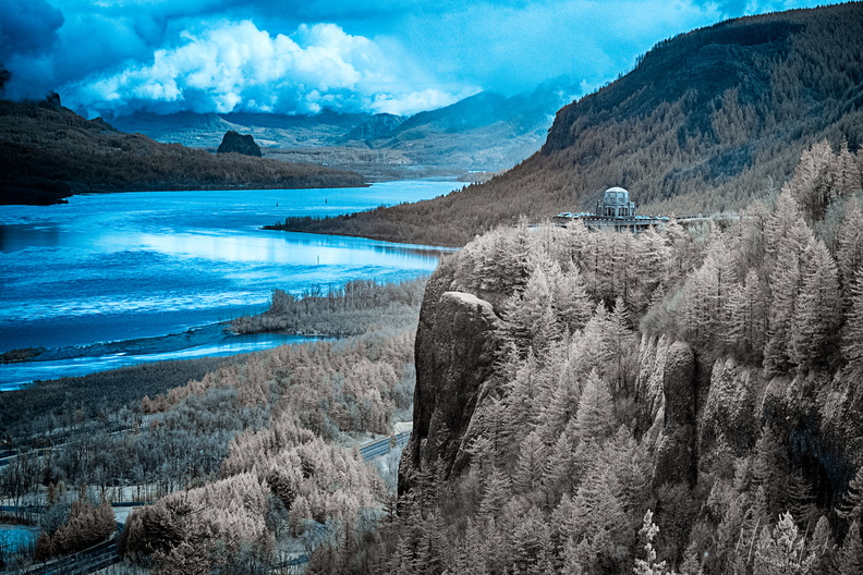 Vista House and Beacon Rock
-
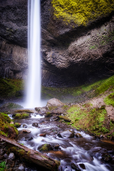 Latourell Falls
Columbia Gorge, near Portland Oregon. 244-foot drop. -
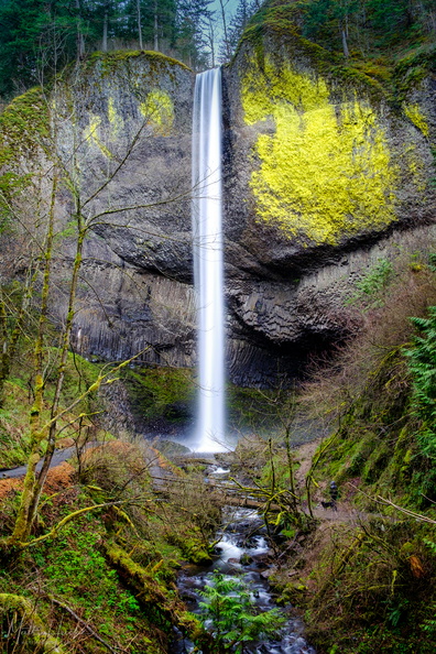 Latourell Falls
244-foot drop -
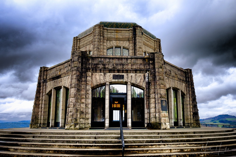 Vista House
-
 Vista House, 1918
-
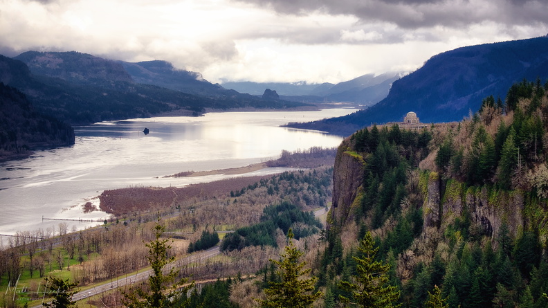 Gorge
Gorge
-
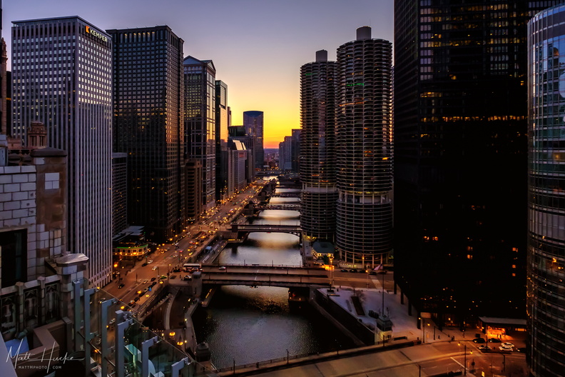 A river runs through Chicago
-
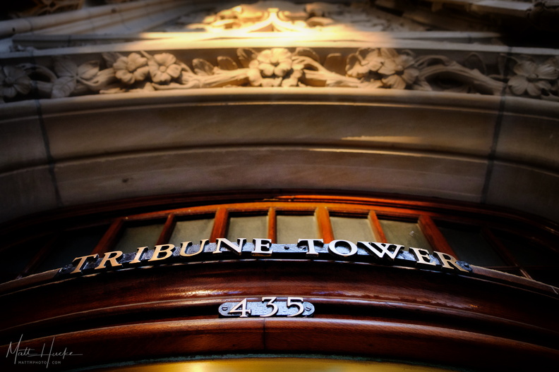 Enter now the Tribune
-
 Pool on 14
When the Junior Olympic sized swimming pool at the Medinah Athletic Club in Chicago was completed in 1929, it was a remarkable feat of engineering - on the 14th floor of a skyscraper, it was then highest pool in the world (above ground level). Some call it the "Johnny Weissmuller Pool", as the Olympic gold medalist and Tarzan actor trained here. The building is now the Hotel InterContinental Magnificient Mile, and the pool is part of a fitness center available to hotel guests. It spans the entire width of the south tower. On the far wall is a terra cotta "Fountain of Neptune", surrounded with Spanish majolica tile. Though the fountain is currently dry, the hotel management have been careful to preserve all of the 1920s architectural detail of the space. 3-shot HDR, handheld. -
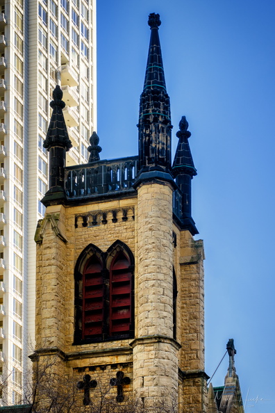 Soot-black tower
Original bell tower of St. James Episcopal Cathedral, Chicago, the only part of the church to survive the Great Chicago Fire of 1871. -
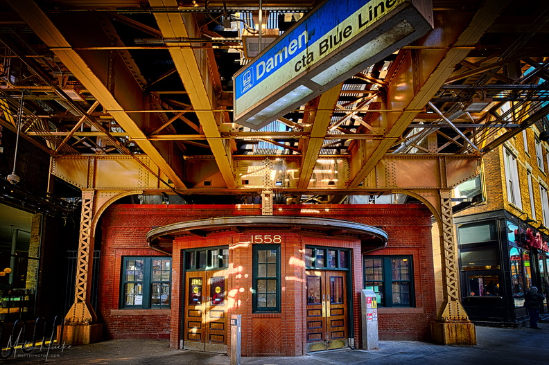 Damen
Damen
-
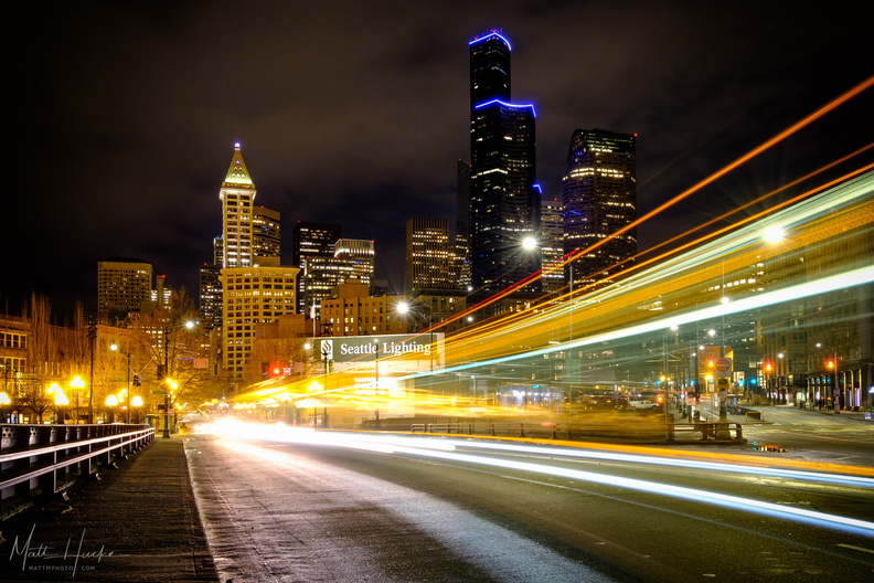 Seattle Lighting
-
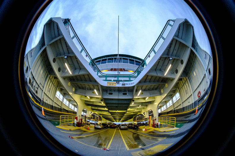 Insert Cars Here
Washington State Ferry Tacoma, car deck. Meike 6.5mm f/2.0 Fisheye -
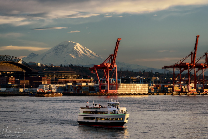 A One-Hour Tour
-
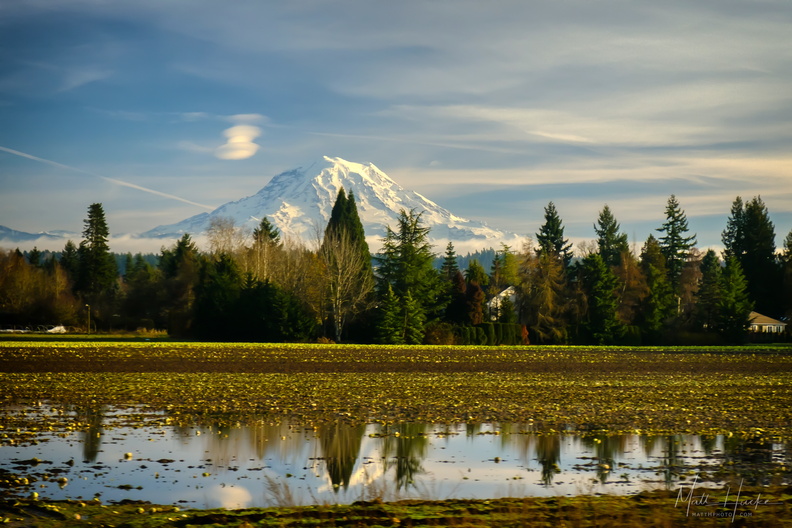 Last Day of 2017
Mount Rainier with lenticular clouds. Shot from a moving Amtrak Cascades Train north of Tacoma -
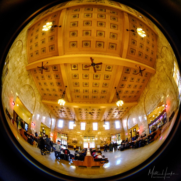 Passengers
Portland Union Station -
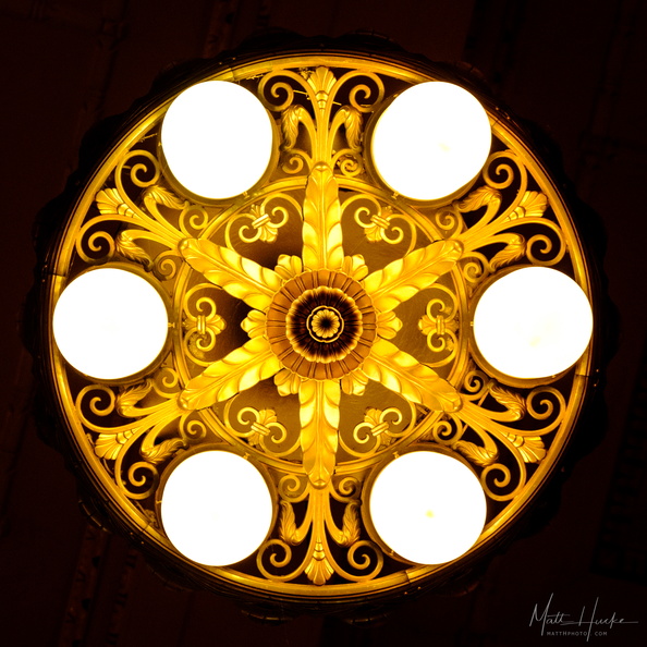 Station Lamp
Light fixture, Portland Union Station -
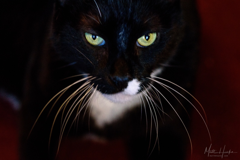 Dark Harold
-
 Maude, a Portrait
-
 Quality Always
-
 Inverted public market
-
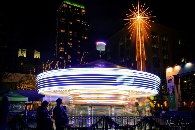 Give it a Whirl
Carousel, Westlake Park, Seattl -
 Four Seas Restaurant (1935-2017)
International District (Chinatown), Seattle. The restaurant (behind the photographer) is now permanently closed. -
 Blue Funnel Line
Clouds reflected in historic shop window, Seattle Chinatown, preserved as part of the Wing Luke Museum. -
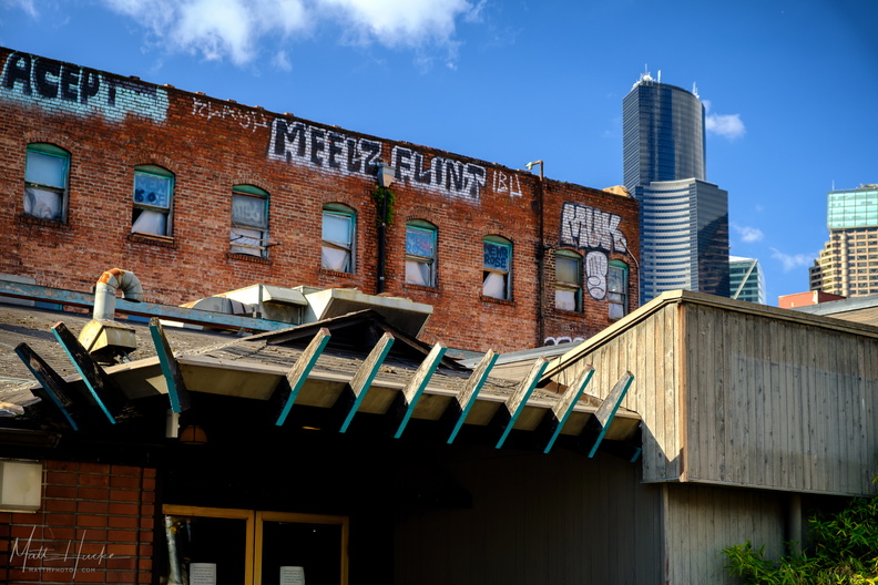 Four Seas and Golden West
Four Seas Restaurant (closed 2017) with abandoned Golden West Hotel in background. -
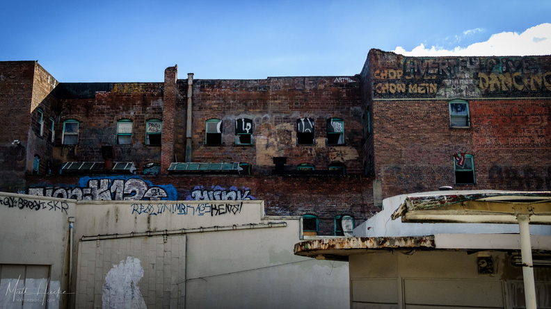 Golden West Hotel
Abandoned hotel, Chinatown, Seattle. -
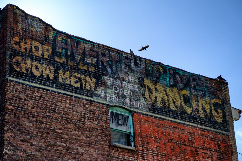 Golden West Hotel
Abandoned hotel, Chinatown, Seattle. -
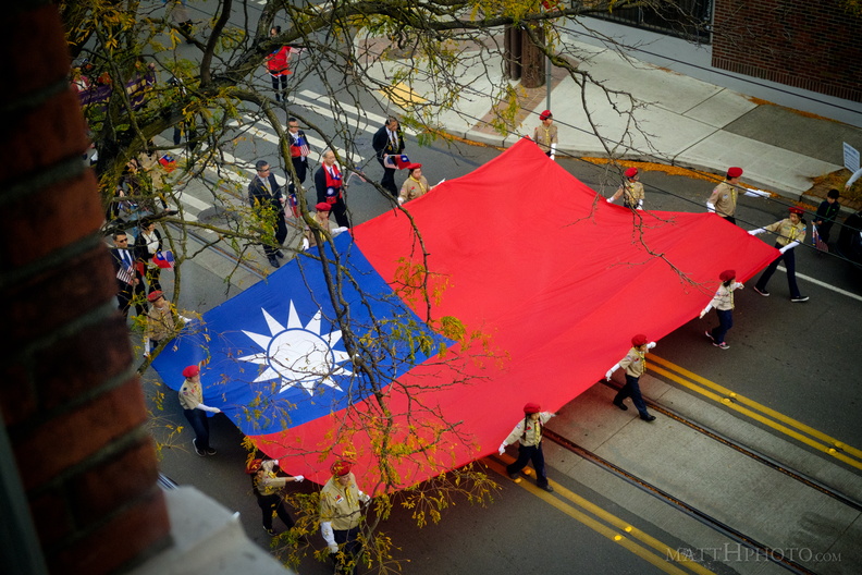 Ten Ten
Republic of China (Taiwan) Day Parade in Seattle, seen from the upper level of the Wing Luke Museum -
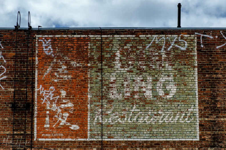 Ghost of Gim Ling
Ghost Sign on the back of the former Gim Ling restaurant, later China Gate, later divided into Bambu and Golden Hong Market. -
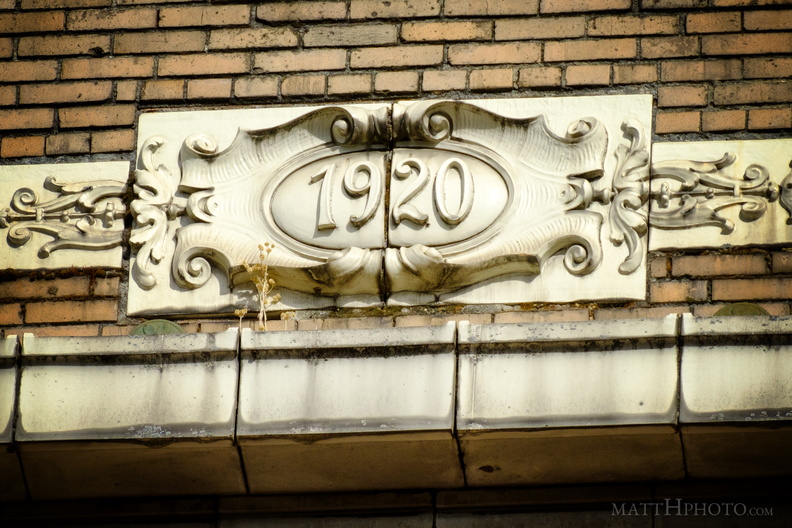 Nineteen Twenty
Medallion under roof line of building in International District, Seattle -
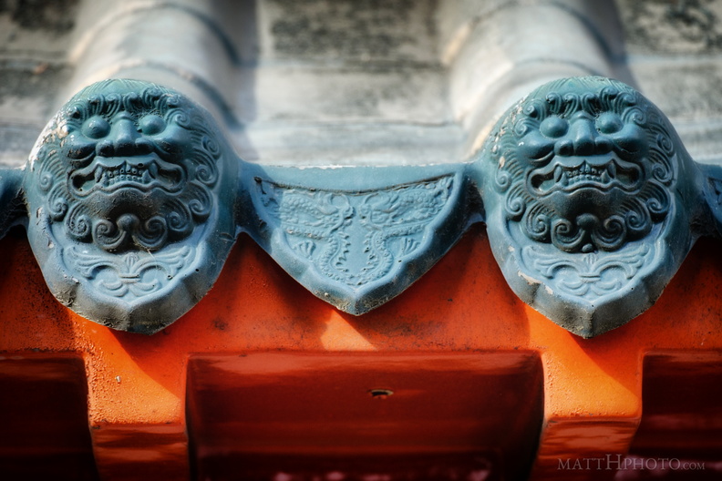 Roof Guardians
Chinese Community Bulletin Board, Seattle International District -
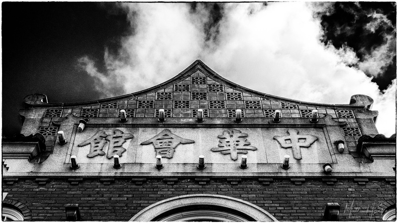 Chong Wa Benevolent Association (1929)
Chinatown, Seattle. -
 Bush Garden: Sukiyaki
-
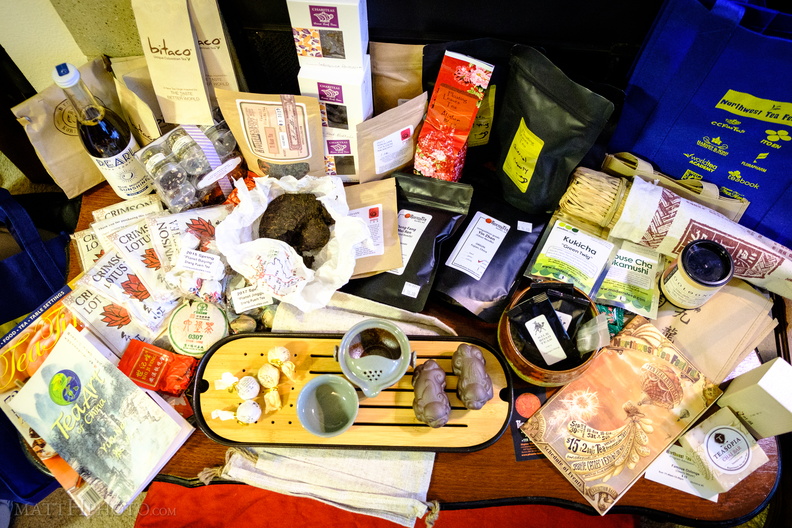 Addiction (2017)
Northwest Tea Festival haul. -
 Teacup
Tea set and iron pyrite nugget at the Northwest Tea Festival, owned and arranged by ZuoWangTea -
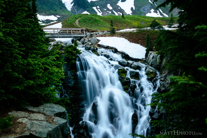 Top of Myrtle Falls
-
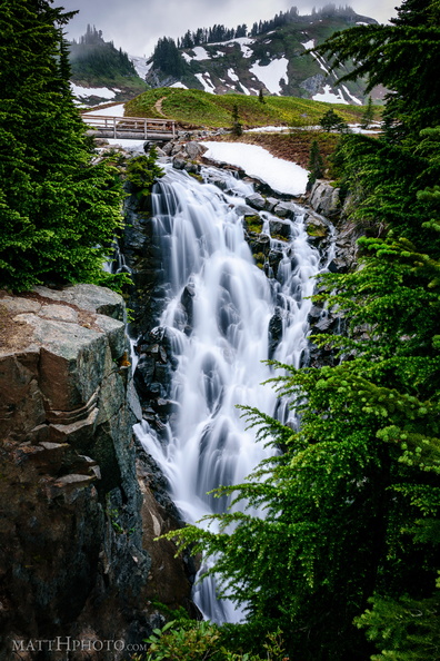 Myrtle Falls, Mount Rainier
72 foot drop. Near Paradise Visitor Center -
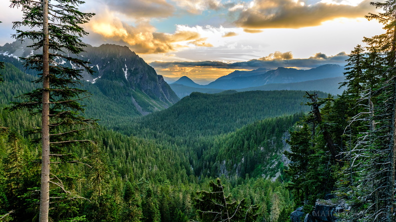 Sunset on the Tatoosh Range
-
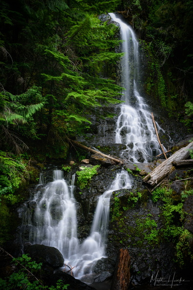 Falls Creek Falls (Rainier)
A small roadside waterfall near the southeast entrance of Mount Rainier National Park. -
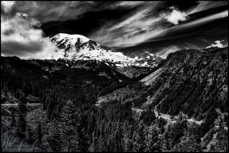 Stevens Canyon
-
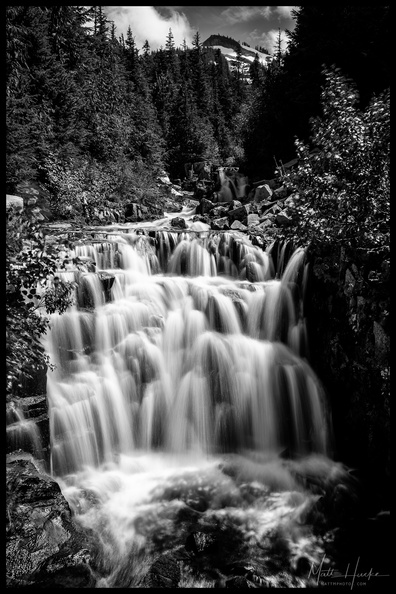 Sunshine Creek
Stevens Canyon Road, near Louise Lake, Mount Rainier National Park -
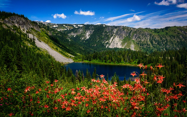 Louise Lake, Mount Rainier National Park
Mount Rainier's summit is off to the left, and was obscured by cloud for most of this day. The red flowers in the foreground are Western Columbine (Aquilegia formosa). Photo was taken from the edge of Stevens Canyon Road. Probably was named for Christine Louise Van Trump (1880-1907), daughter of Rainier explorer Philemon Van Trump. -
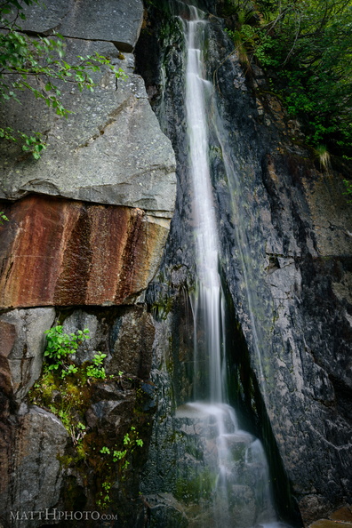 Waterfall by Louise Lake
Tiny waterfall, unknown name, across the road from Louise Lake at Mount Rainier. -
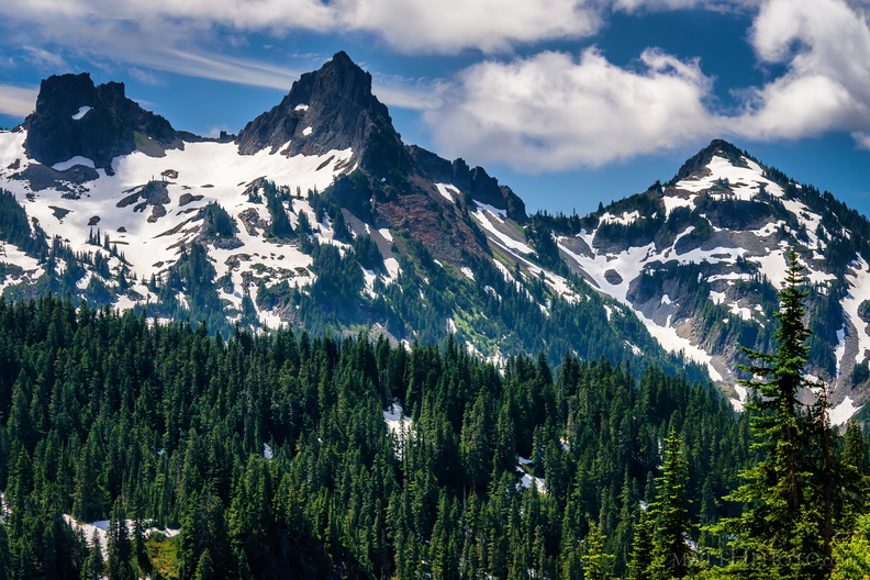 Pinnacle of the Tatoosh
Left to right, an unnamed peak, Pinnacle Peak, and Plummer Peak, of the Tatoosh Range. -
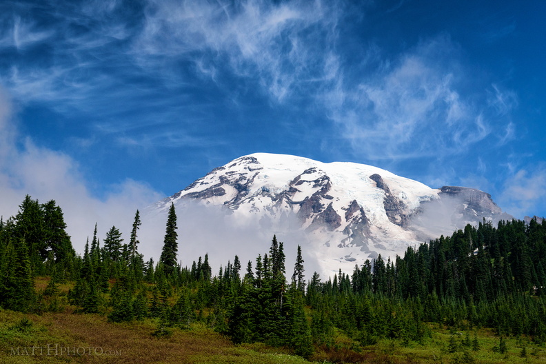 Cool Mist
From Paradise Visitor Center, Mount Rainier National Park. As I watched, a cloud settled on the mountain, and remained there most of the day. -
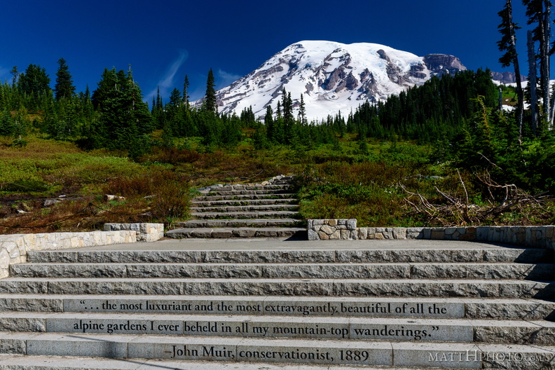 ...of all the alpine gardens