
-
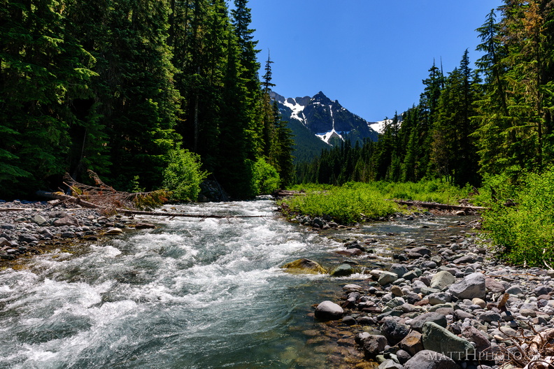 Fryingpan Creek to Banshee Peak
Fryingpan Creek, from the Sunrise Road bridge, with Banshee Peak and Sarvant Glacier in the distance. -
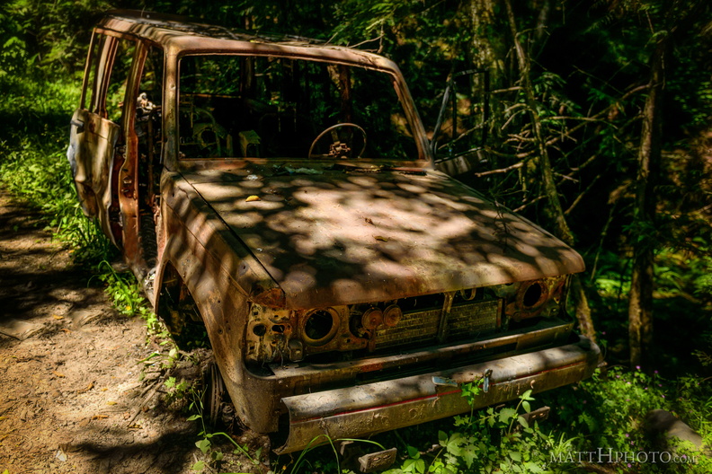 Going Nowhere Solo
-
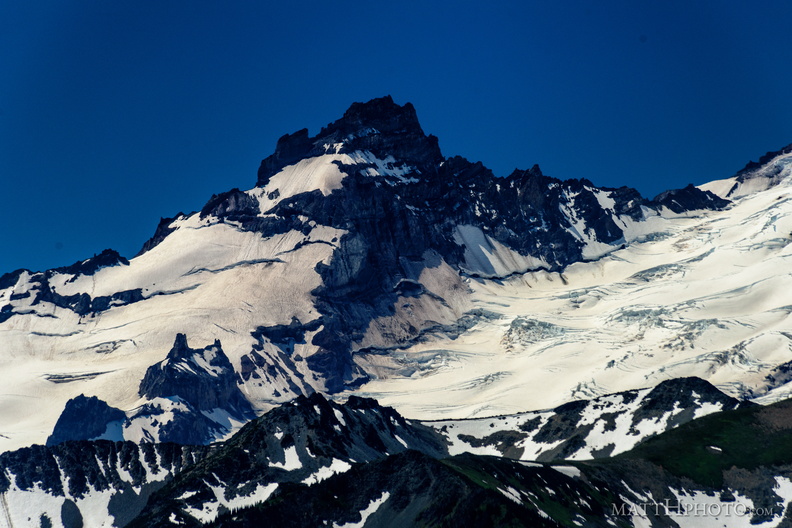 Little Tahoma
From Sun Top Fire Lookout -
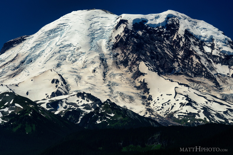 The North Face
From Sun Top Fire Lookout -
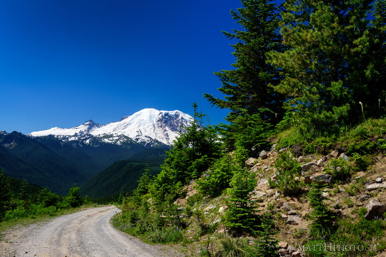 Sun Top Fire Lookout
-
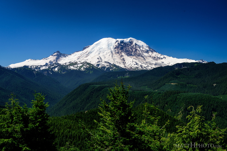 The North Face
From Sun Top Fire Lookout -
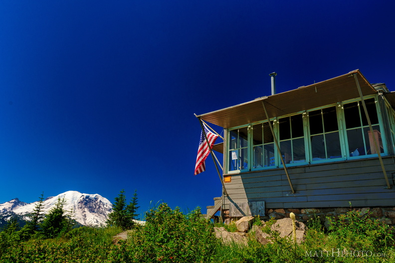 Sun Top Fire Lookout
-
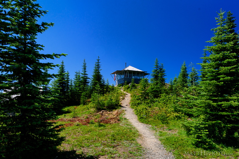 Sun Top Fire Lookout
-
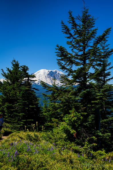 Sun Top Fire Lookout
-
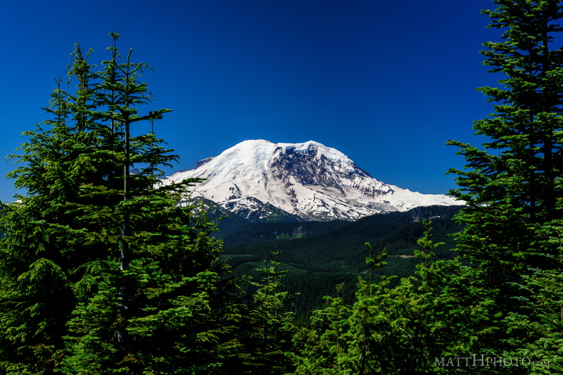 Sun Top Fire Lookout
-
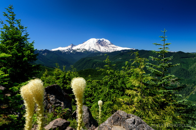 Sun Top Fire Lookout
-
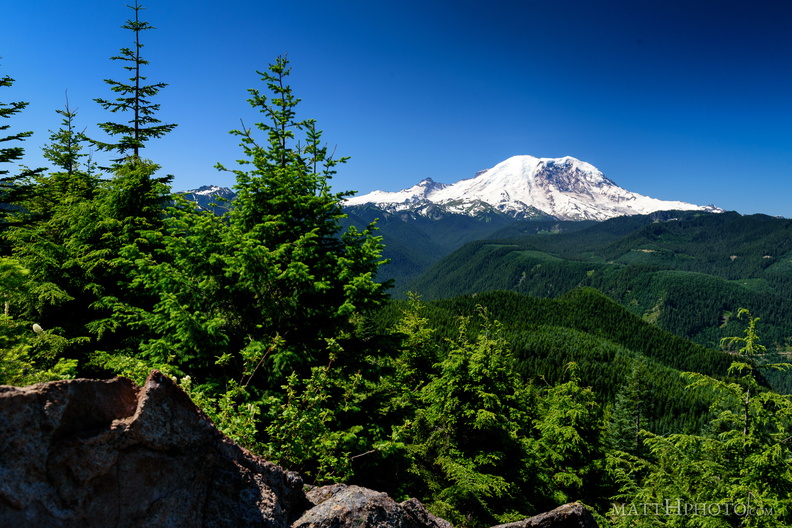 Sun Top Fire Lookout
-
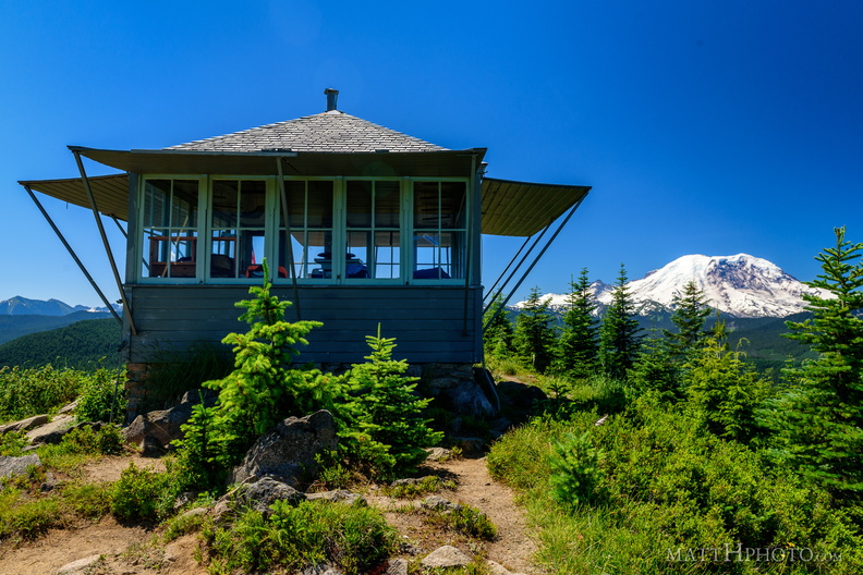 Sun Top Fire Lookout
Built 1934, elevation 1 mile (5280 feet). -
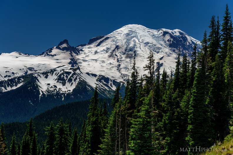 From Sunrise Point, the Mountain
-
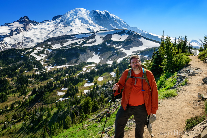 Look at me, I'm on a ridge.
Sourdough Ridge, Frozen Lake Trail, Mount Rainier National Park. -
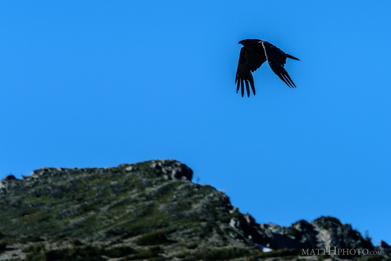 Rainier Raven
It's a corvid. -
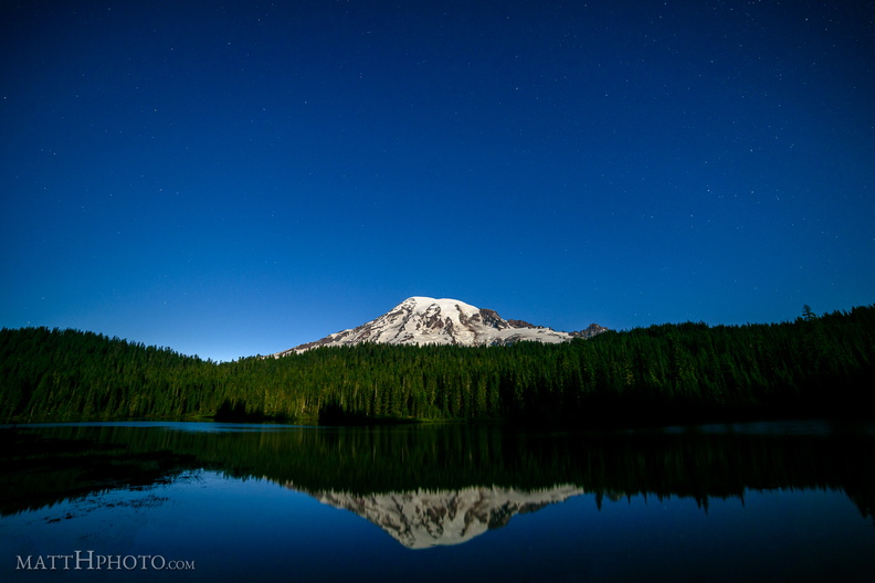 Glaciers in Moonlight
Mount Rainier at Reflection Lake in the light of the full moon -
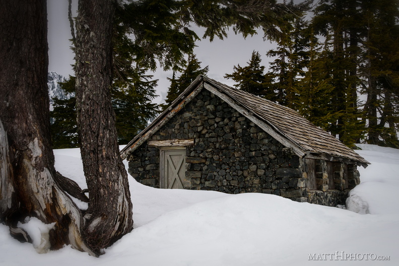 Solitude
Shed near Heather Meadows, Mount Baker -
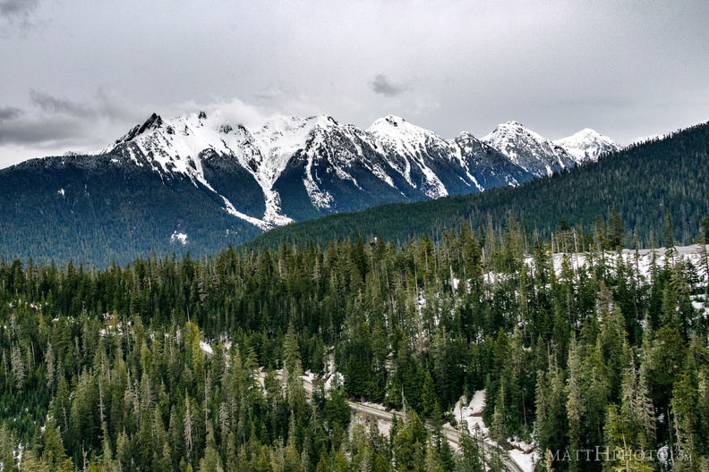 Nooksack Ridge
Nooksack Ridge, near Mount Baker. Part of the ridge, at left, is Mount Sefrit at 7191 feet. -
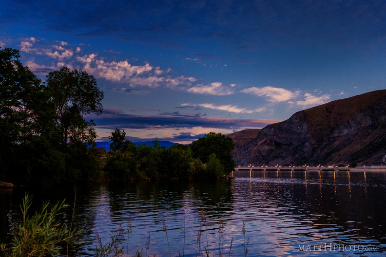 Rocky Reach Dam
Columbia River, seen from Lincoln Rock State Park -
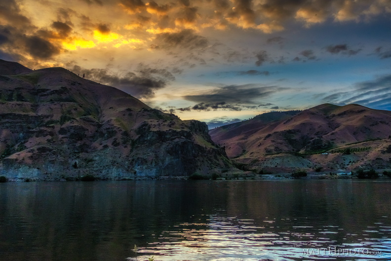 Night Falls on Lincoln Rock
-
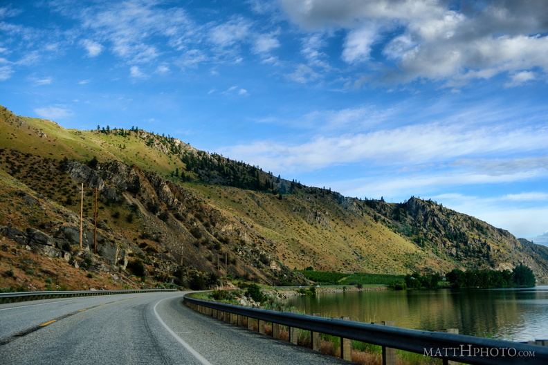 Lake Entiat
-
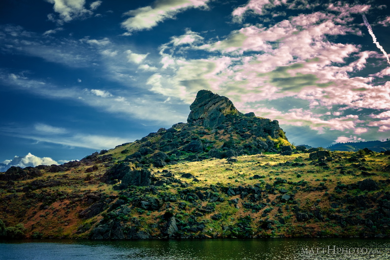 Turtle Rock Island
Island in Lake Entiat, created in 1962 when the Rock Reach Dam was constructed. -
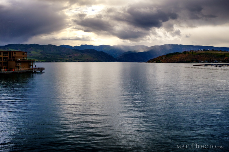 Lake Chelan
-
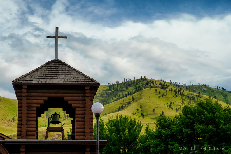 Butte and St. Andrew
St. Andrews Episcopal Church, Chelan, and Chelan Butte -
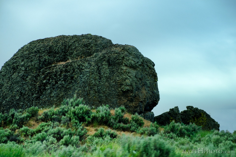 Missoula Flood Deposit
-
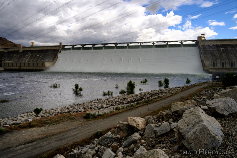 Grand Coulee Dam
-
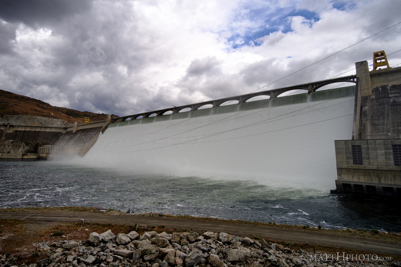 Grand Coulee Dam
-
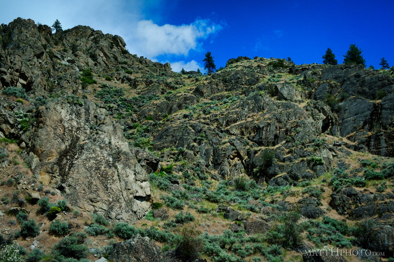 Looking up
-
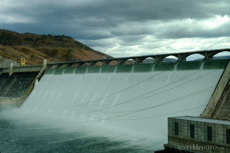 Grand Coulee Dam
-
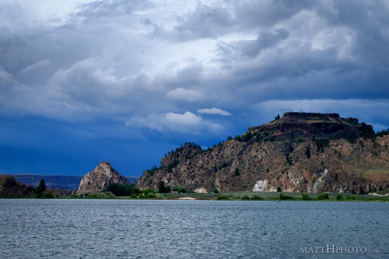 Steamboat Rock State Park
-
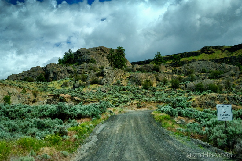 No Warning Signs
-
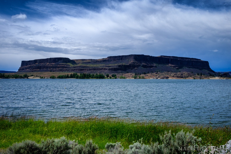 Steamboat Rock
-
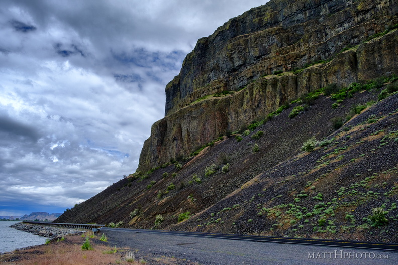
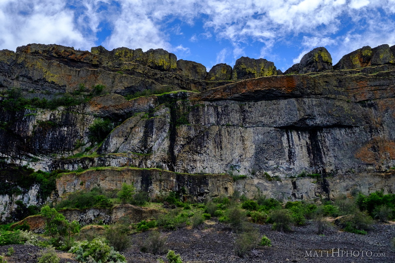 Teeth of the Coulee
Grand Coulee, alongside Banks Lake -
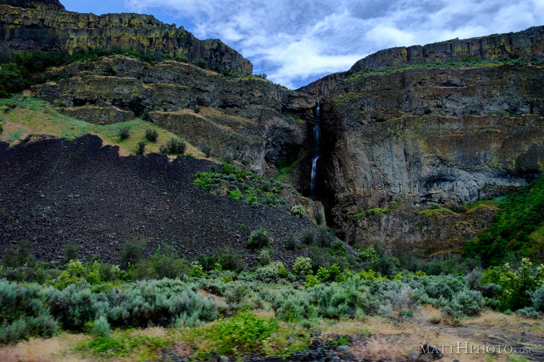
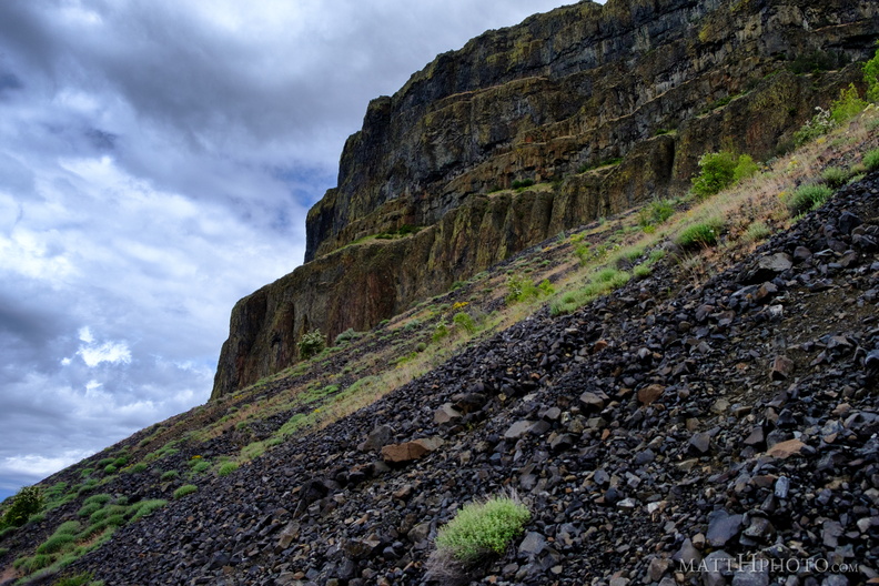 Grand Coulee
-
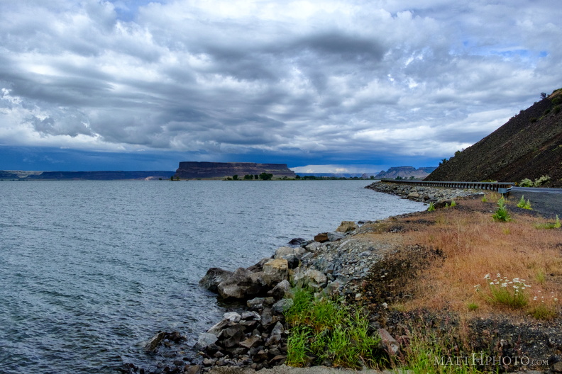 Banks Lake
-
 Grand Coulee
-
 Grand Coulee
-
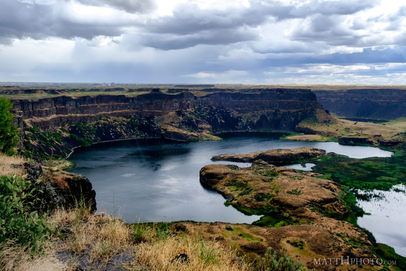 Dry Falls Lake
-
 Dry Falls (Panorama)
Dry Falls, central Washington, the largest waterfall on earth during the prehistoric Missoula Floods. Six-shot pano. -
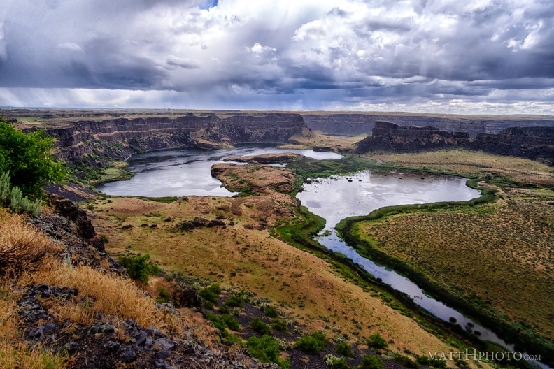 Dry Falls in rain
Dry Falls, central Washington, the largest waterfall on earth during the prehistoric Missoula Floods. -
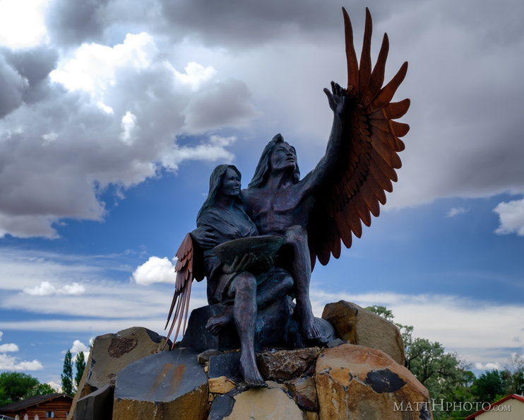 Calling the Healing Waters (Soap Lake)
Monumental sundial sculpture by David Govedere and Keith Powell, 2009 -
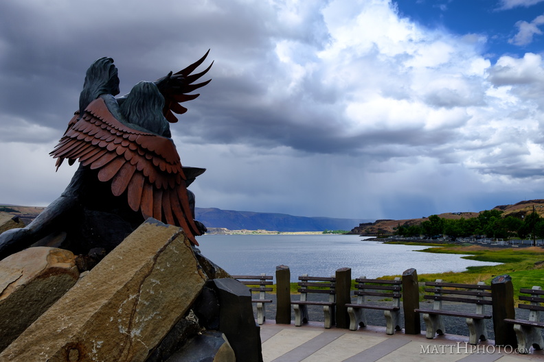 Calling the Healing Waters (Soap Lake)
Monumental sundial sculpture by David Govedere and Keith Powell, 2009 -
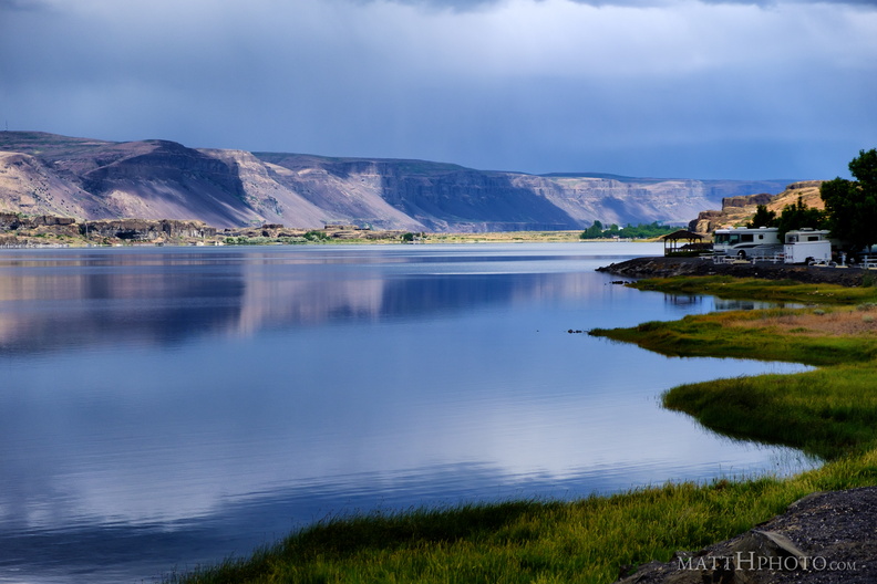 Soap Lake
-
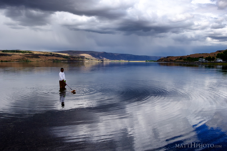 Soap Lake
-
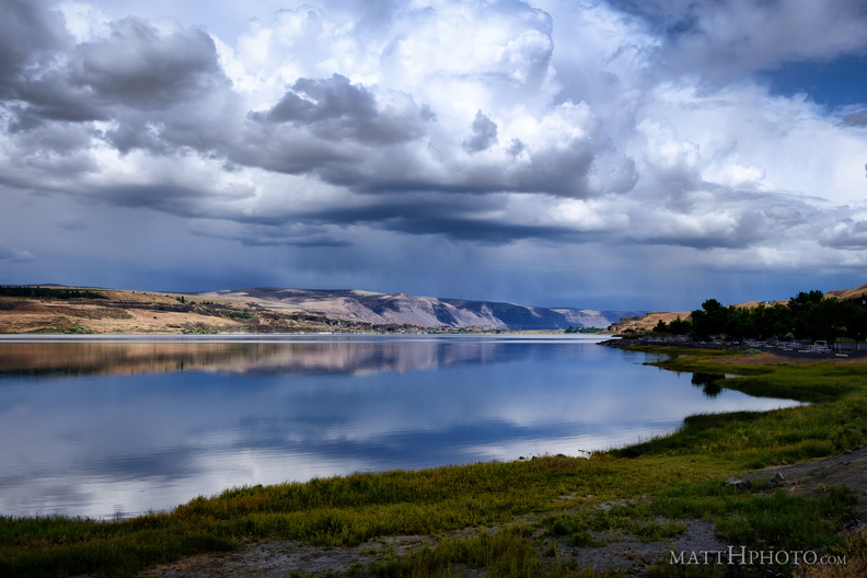 Soap Lake
A remnant of the prehistoric Missoula Floods in Central Washington, this lake has layers of water that do not intermix and a high mineral content. The water was thought to have curative powers and many spas were erected nearby in the 19th and 20th centuries. -
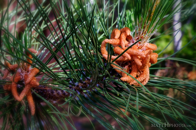 Pine
Pine
Male pine cone, occurring on the same tree as the large woody female cones. -
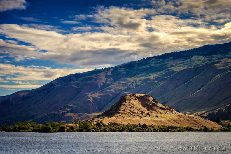 Turtle Rock Island
Lake Entiat, WA -
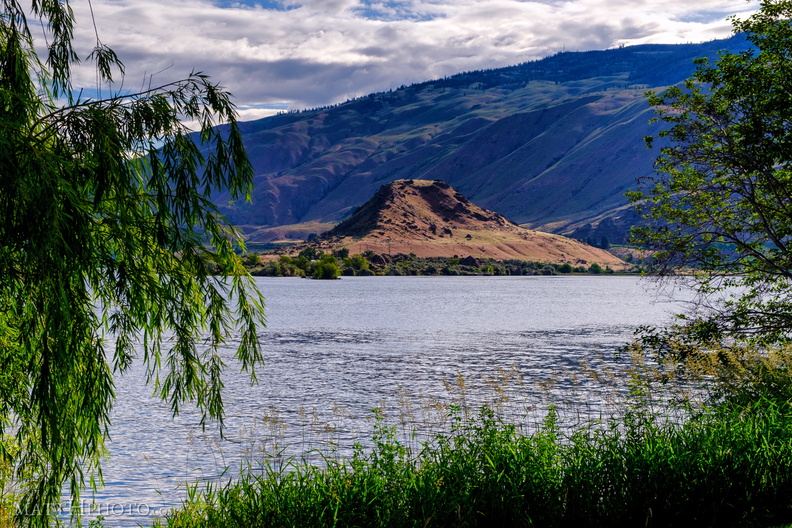 Turtle Rock Island
Turtle Rock Island near Lincoln Rock State Park. Originally a simple rocky hill on the south bank of the Columbia River, US Highway 2 ran through it. The construction of the Rocky Reach Dam in 1960 caused the formation of Lake Entiat around this hill, cutting it off from the rest of the south bank, submerging the old US Highway 2, and creating Turtle Rock Island. It is now a protected wildlife area accessible only by boat. -
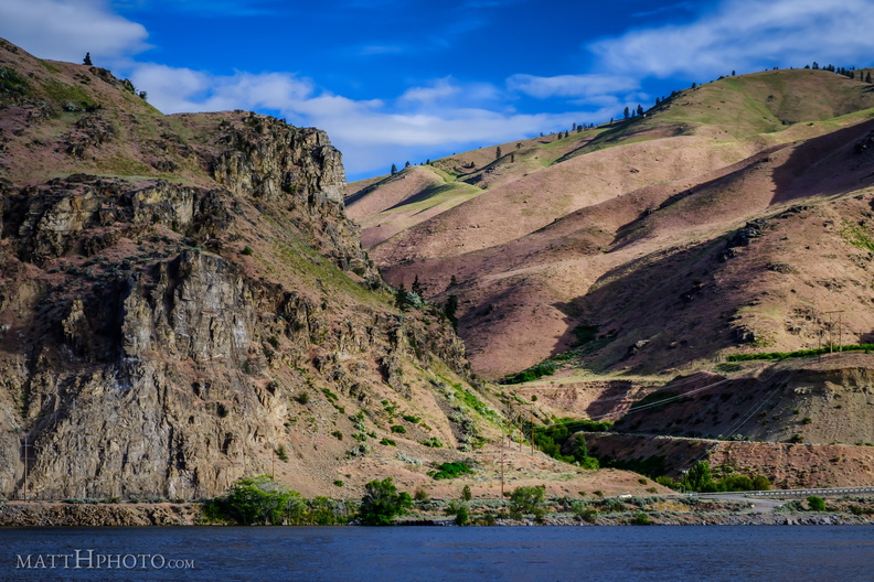 Lincoln Rock and Swakane Canyon
Lincoln Rock, at the southeast end of Swakane Canyon, Wenatchee WA